 |
 |
 |
 |
 |
 |
 |
|
|
|
|
|
|
|
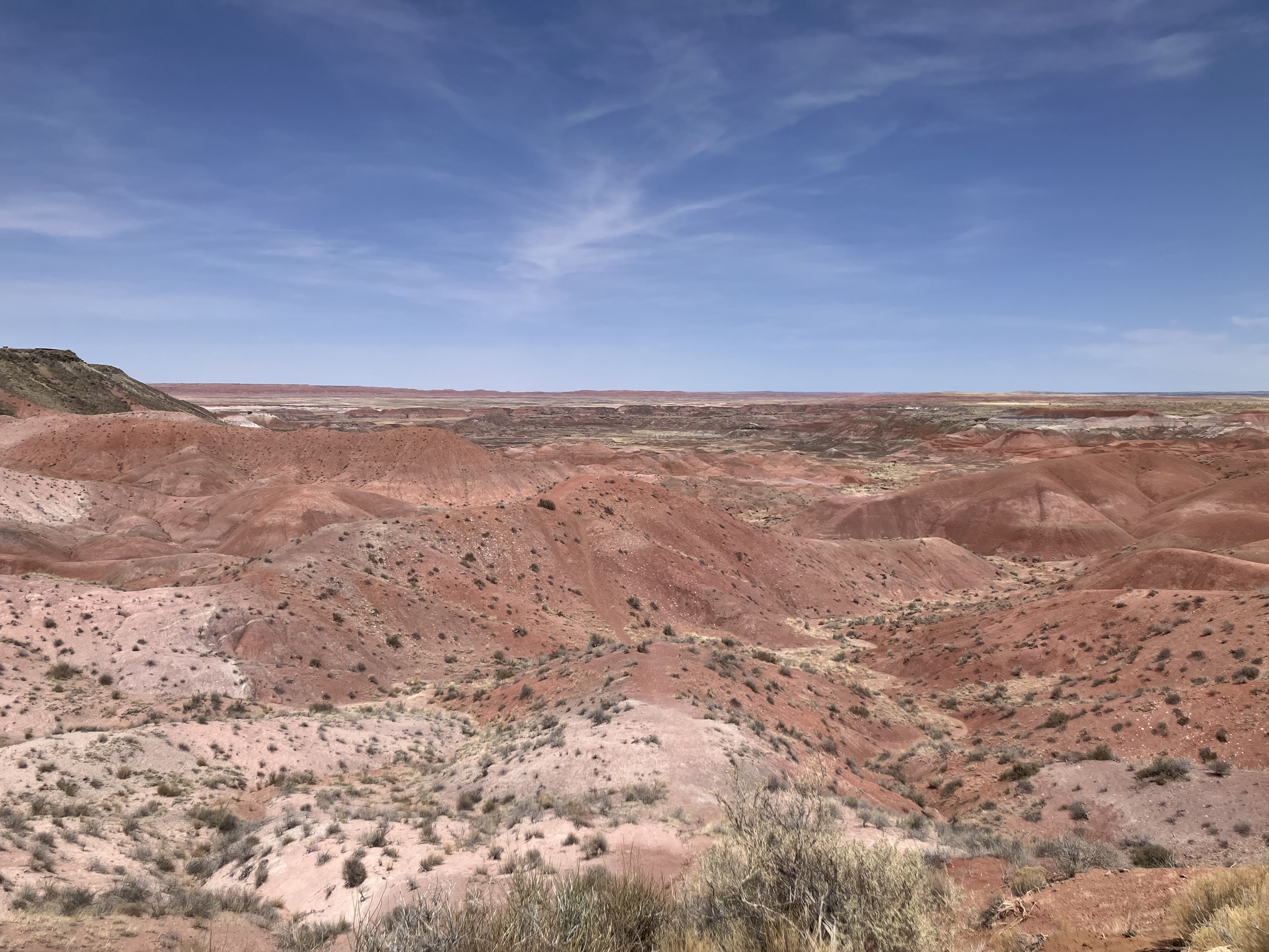
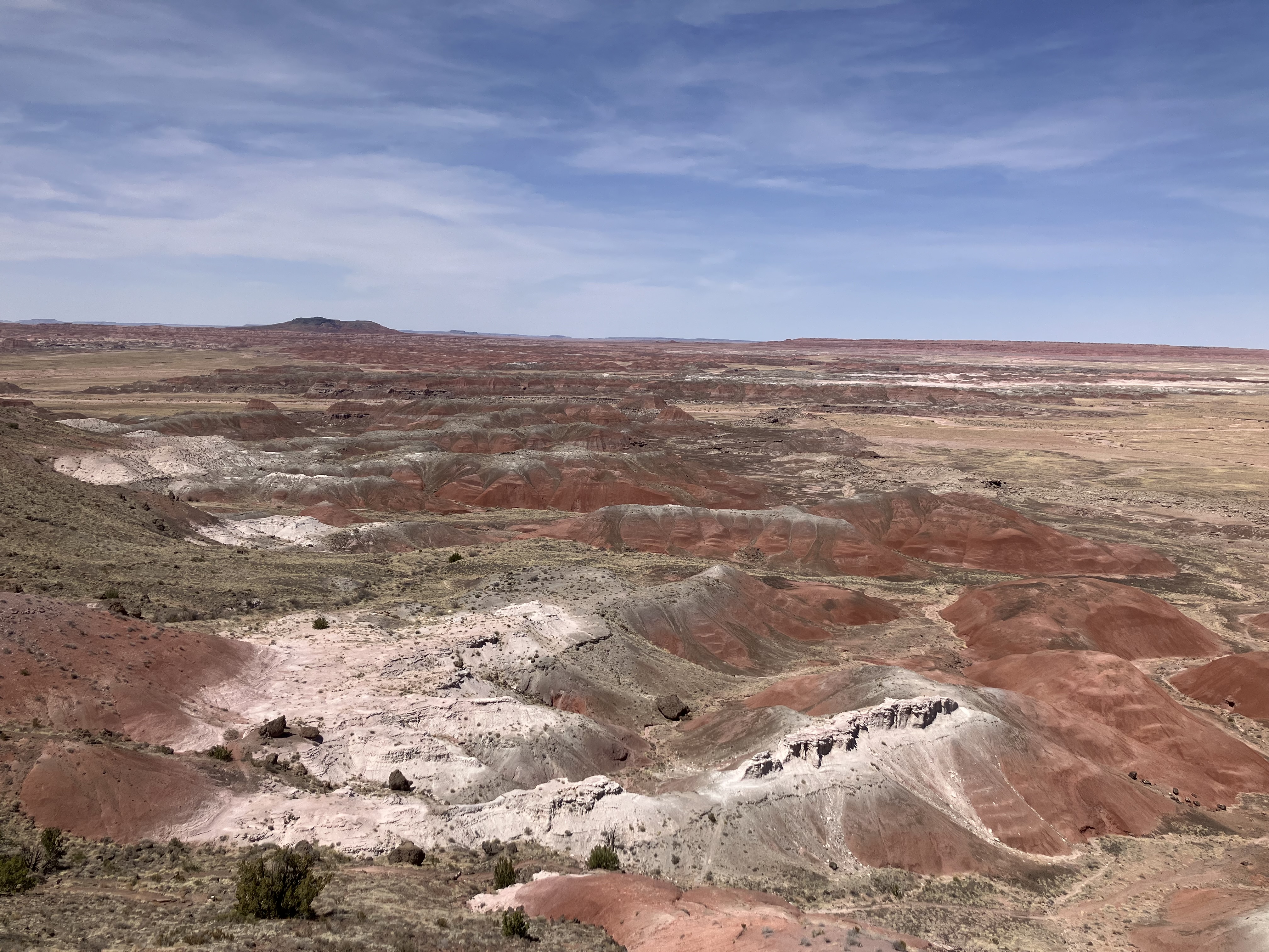
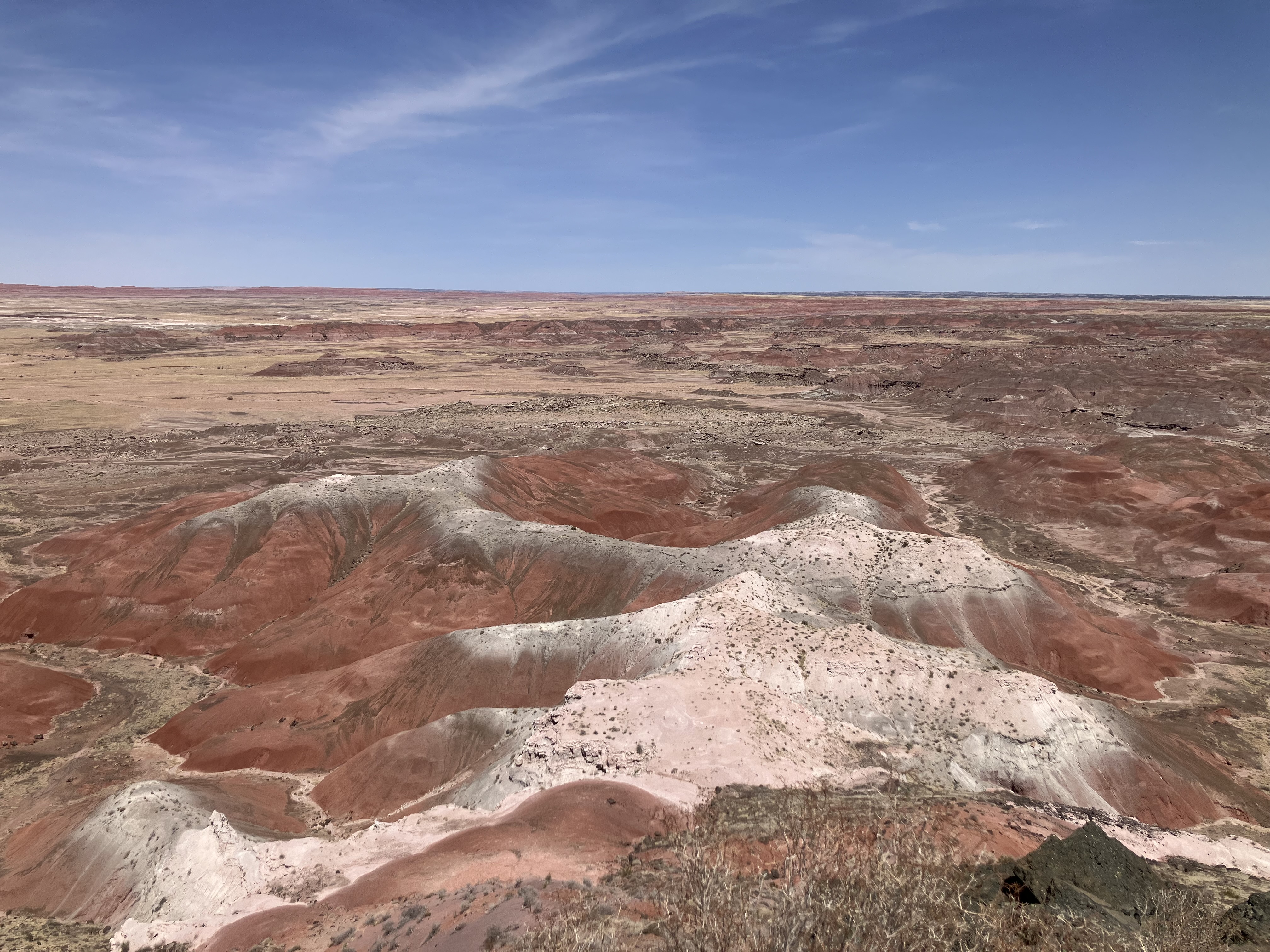
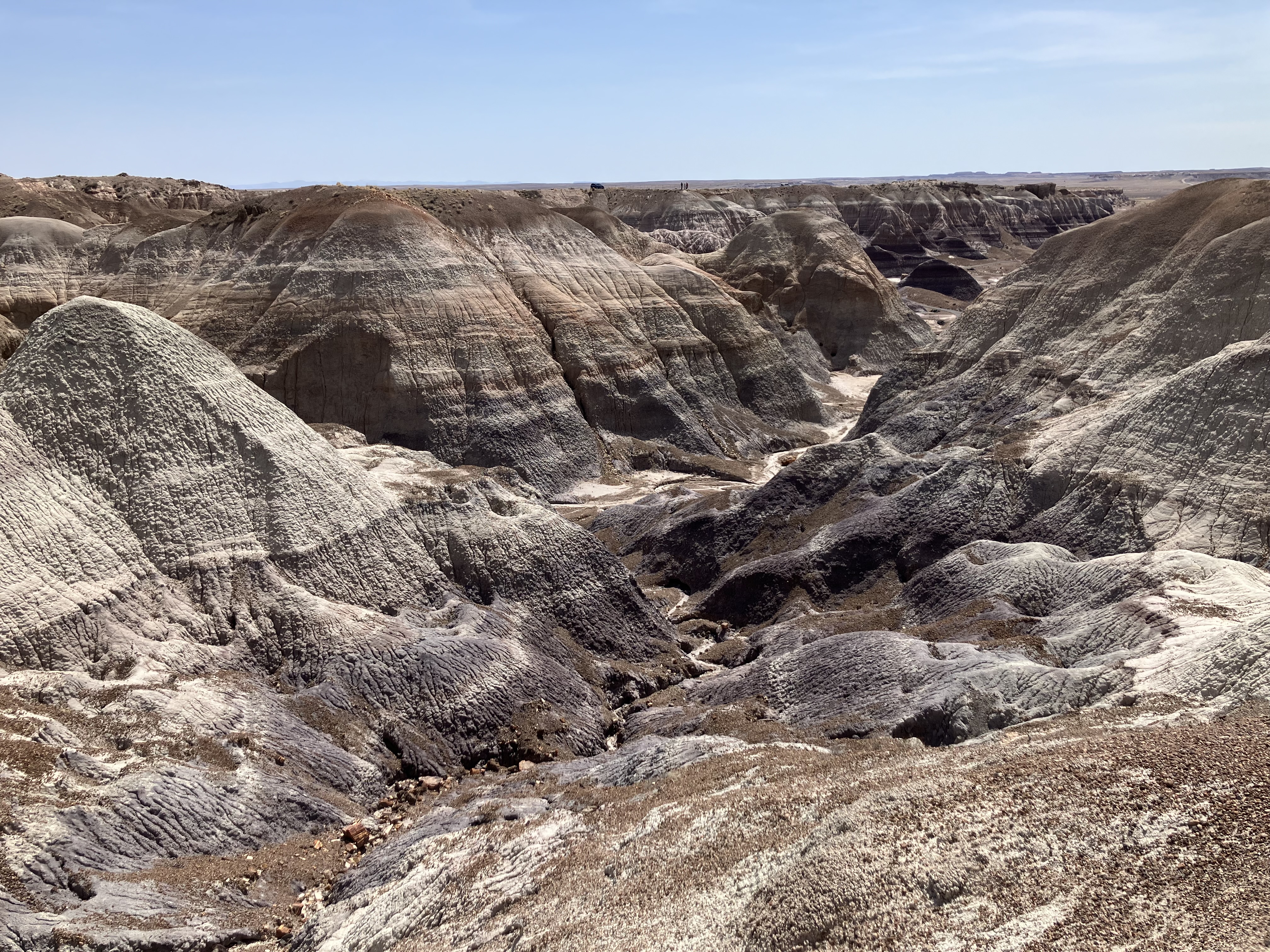
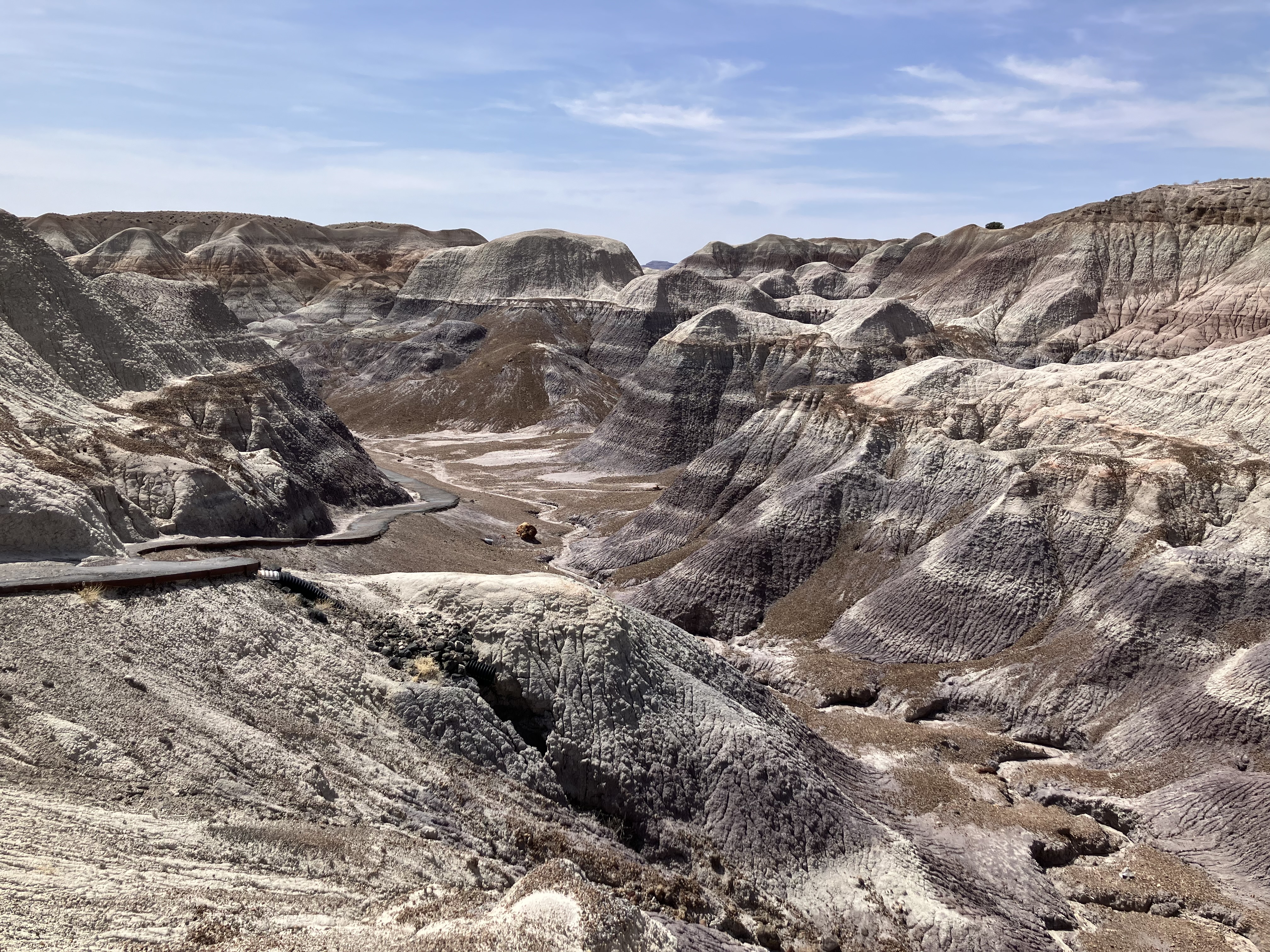
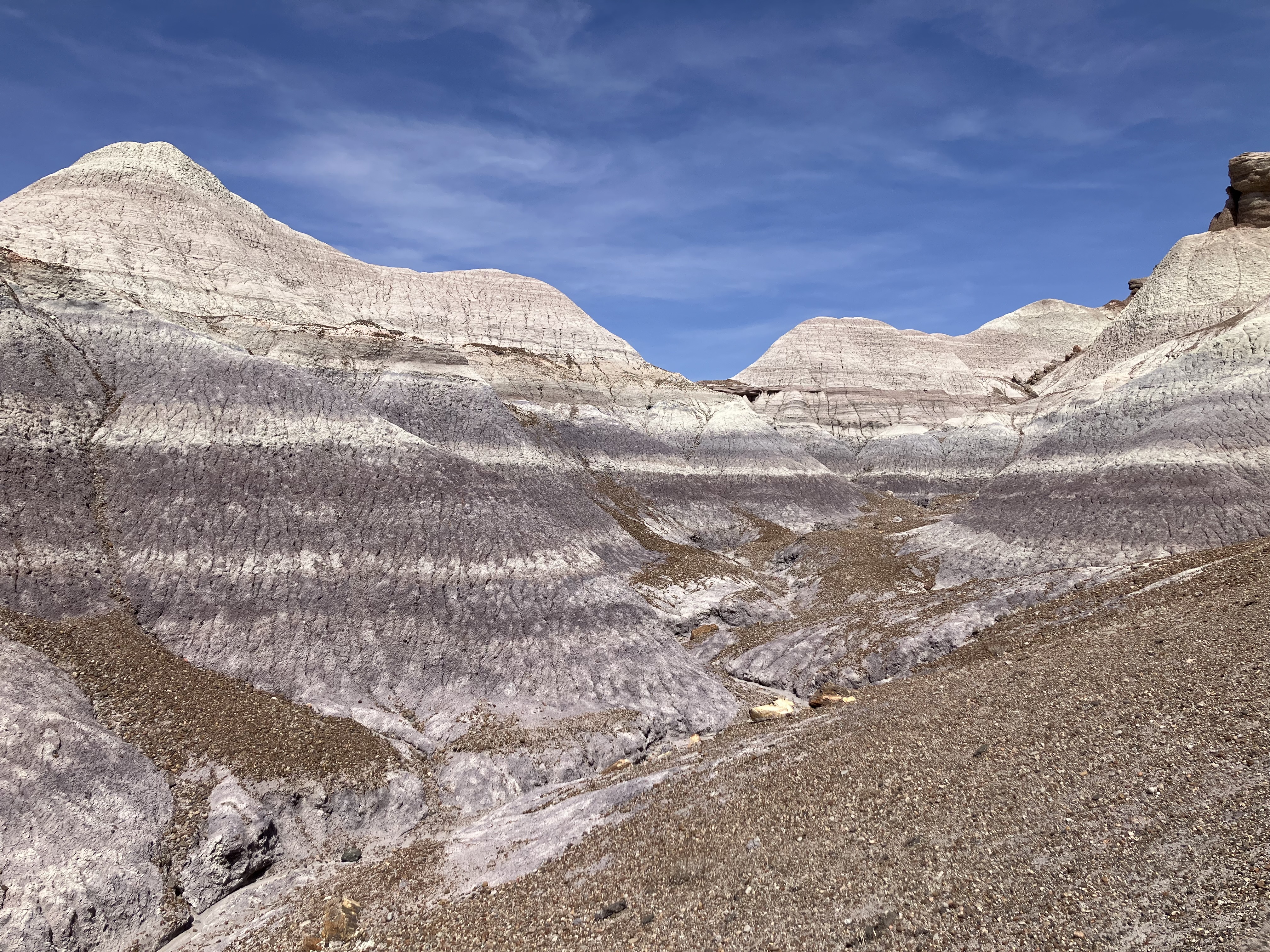
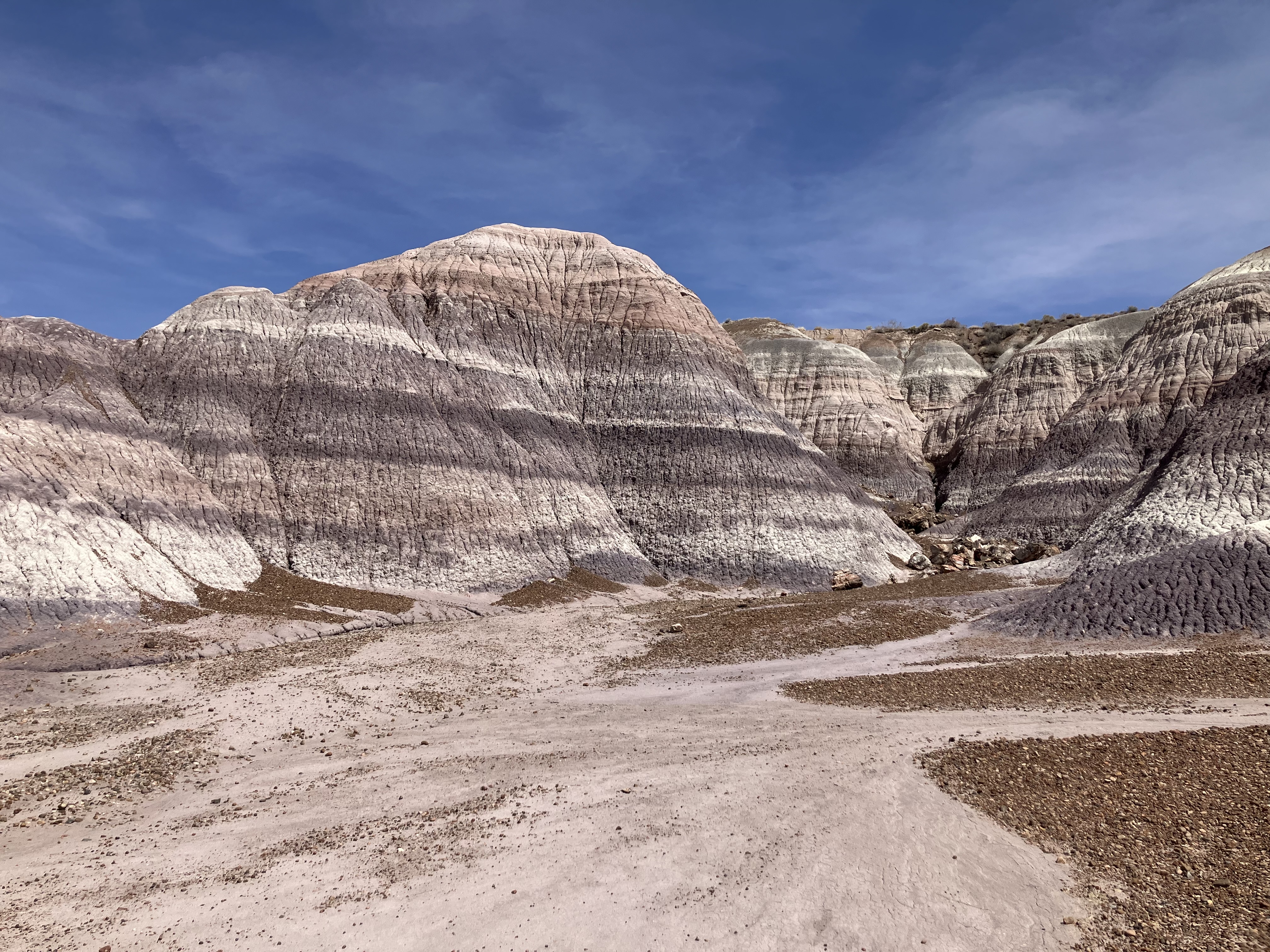
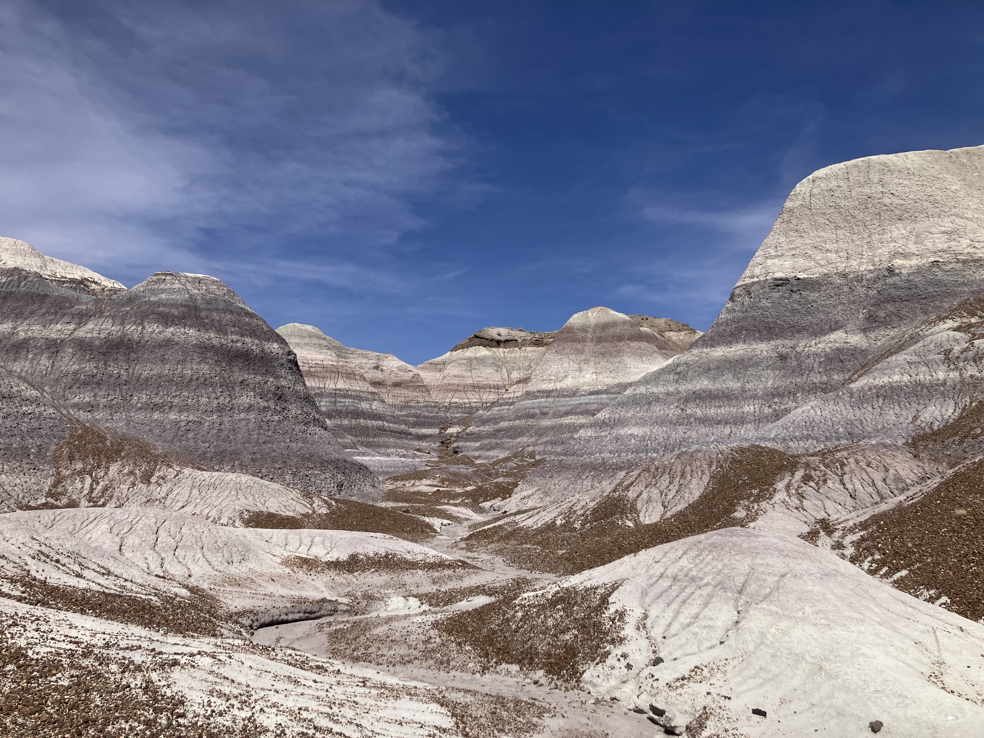
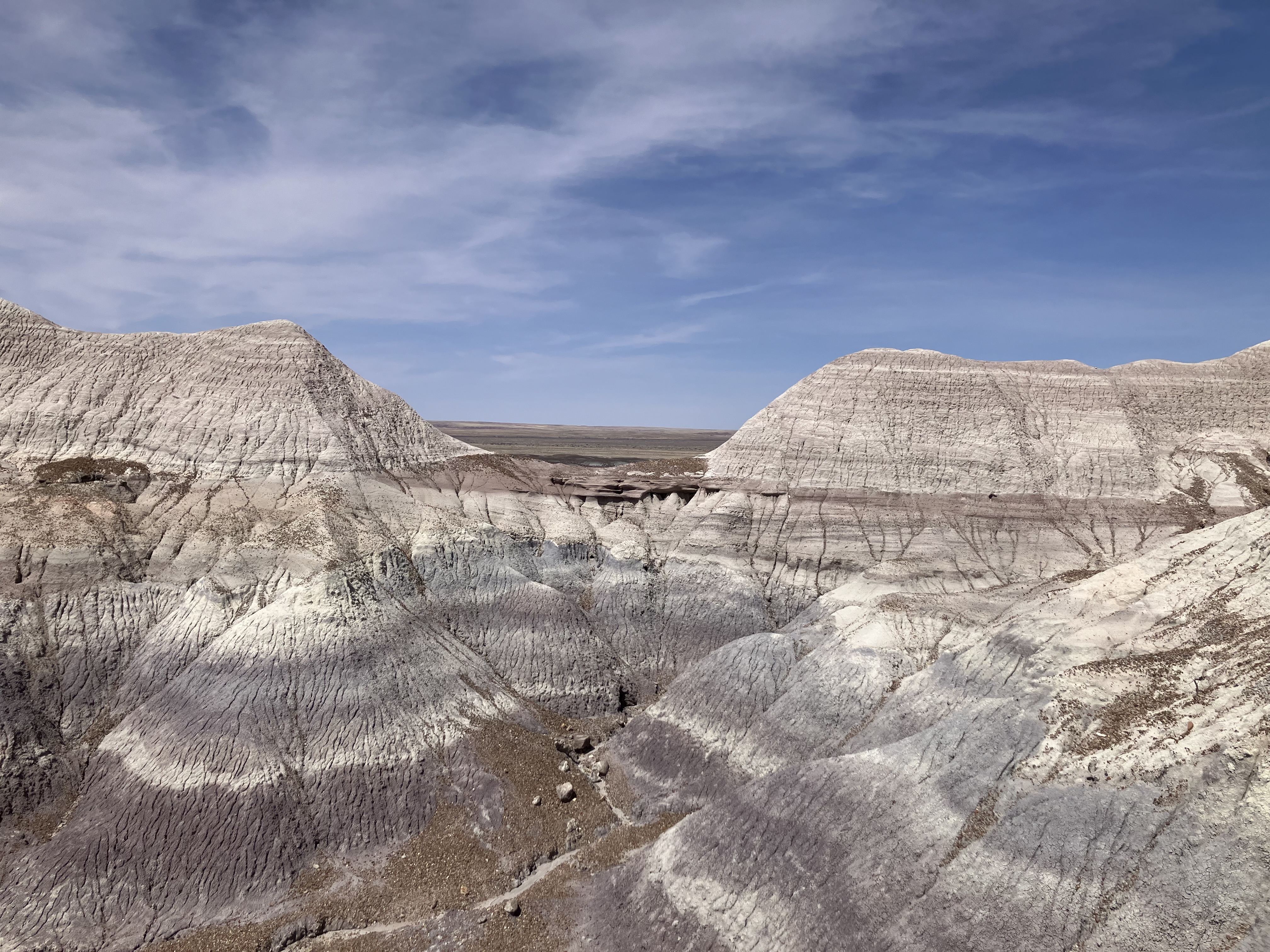
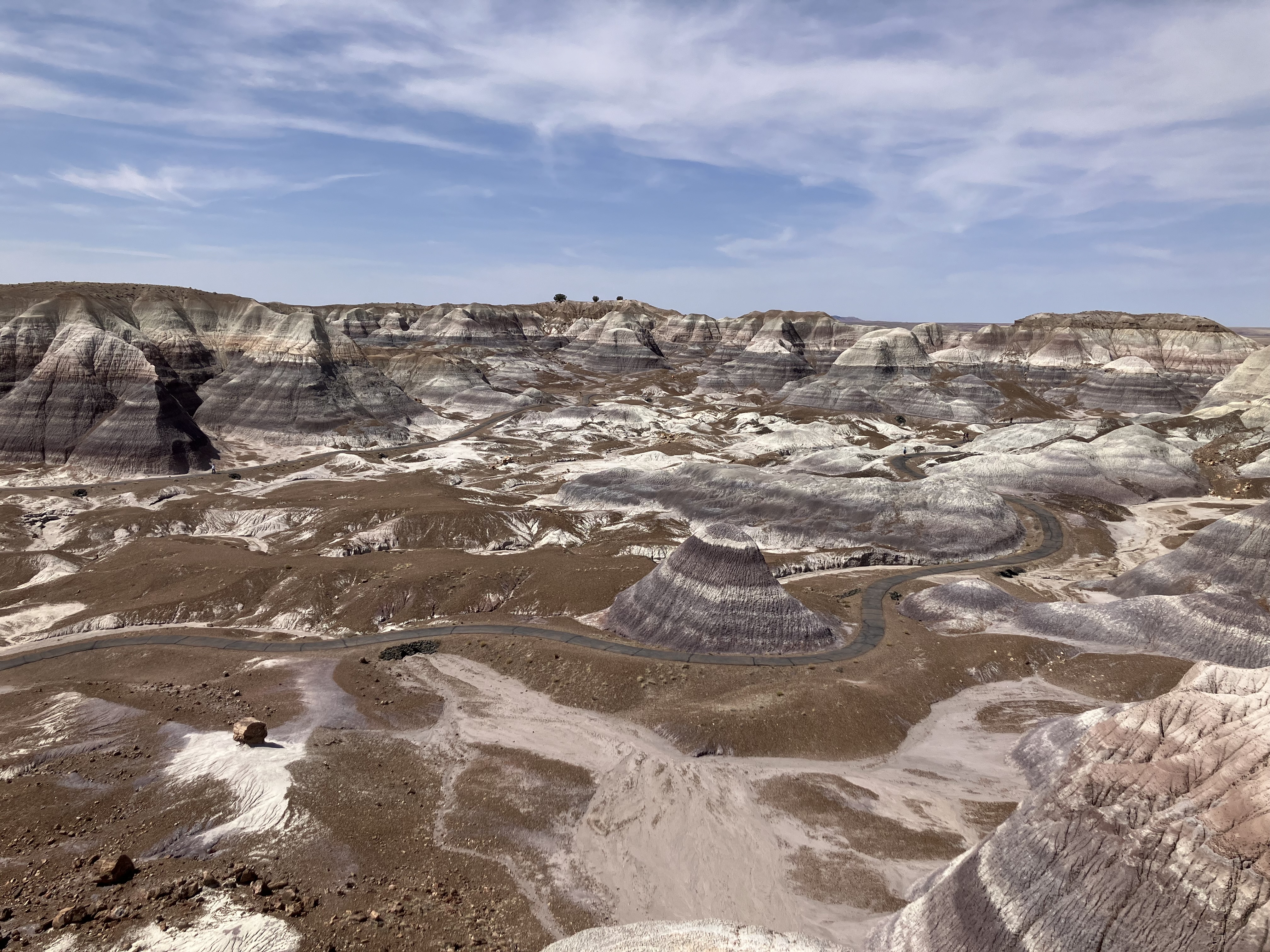
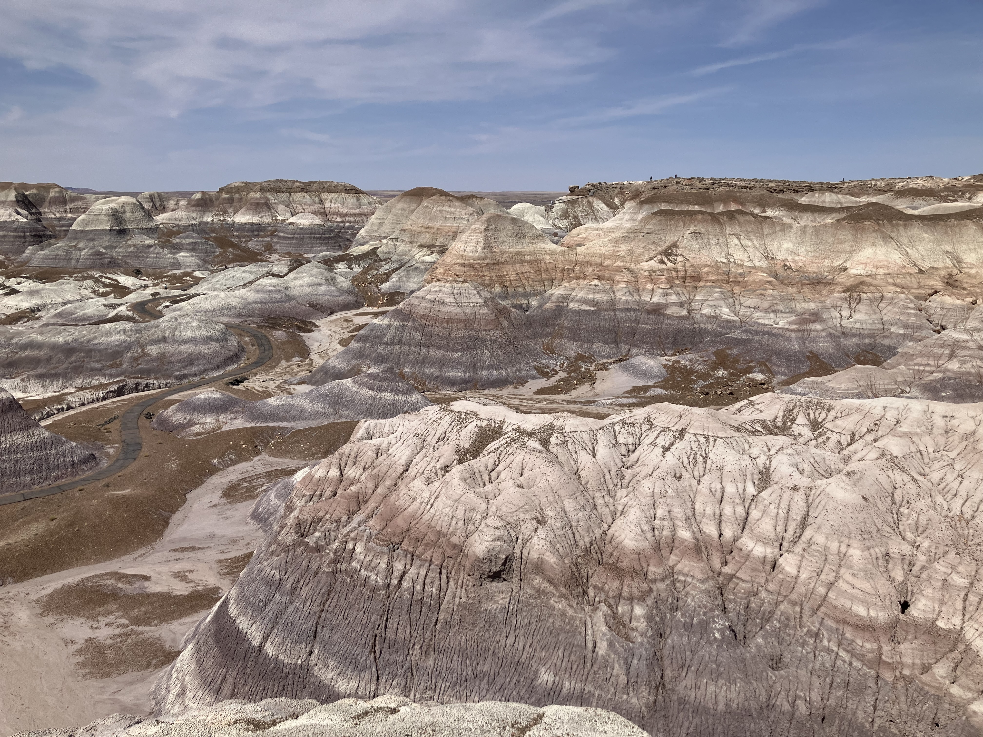
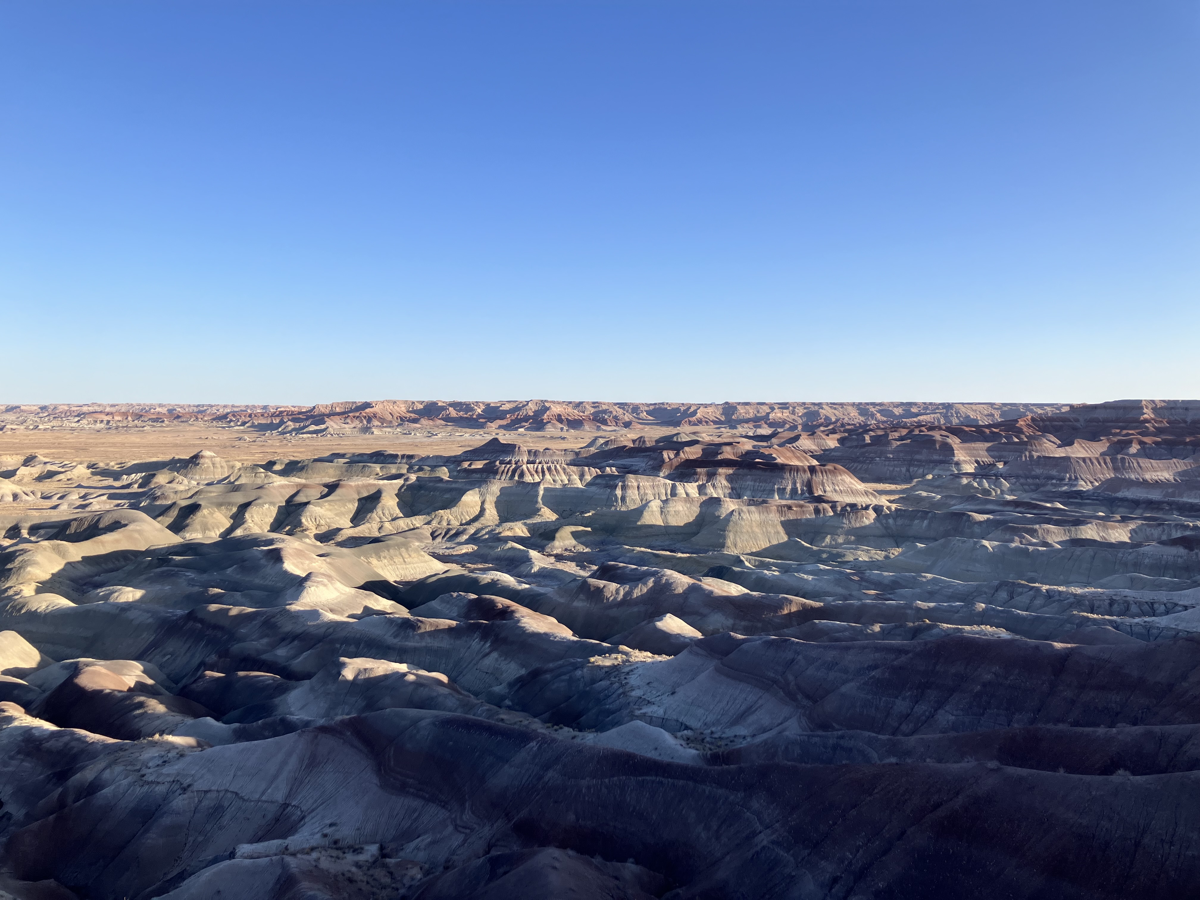
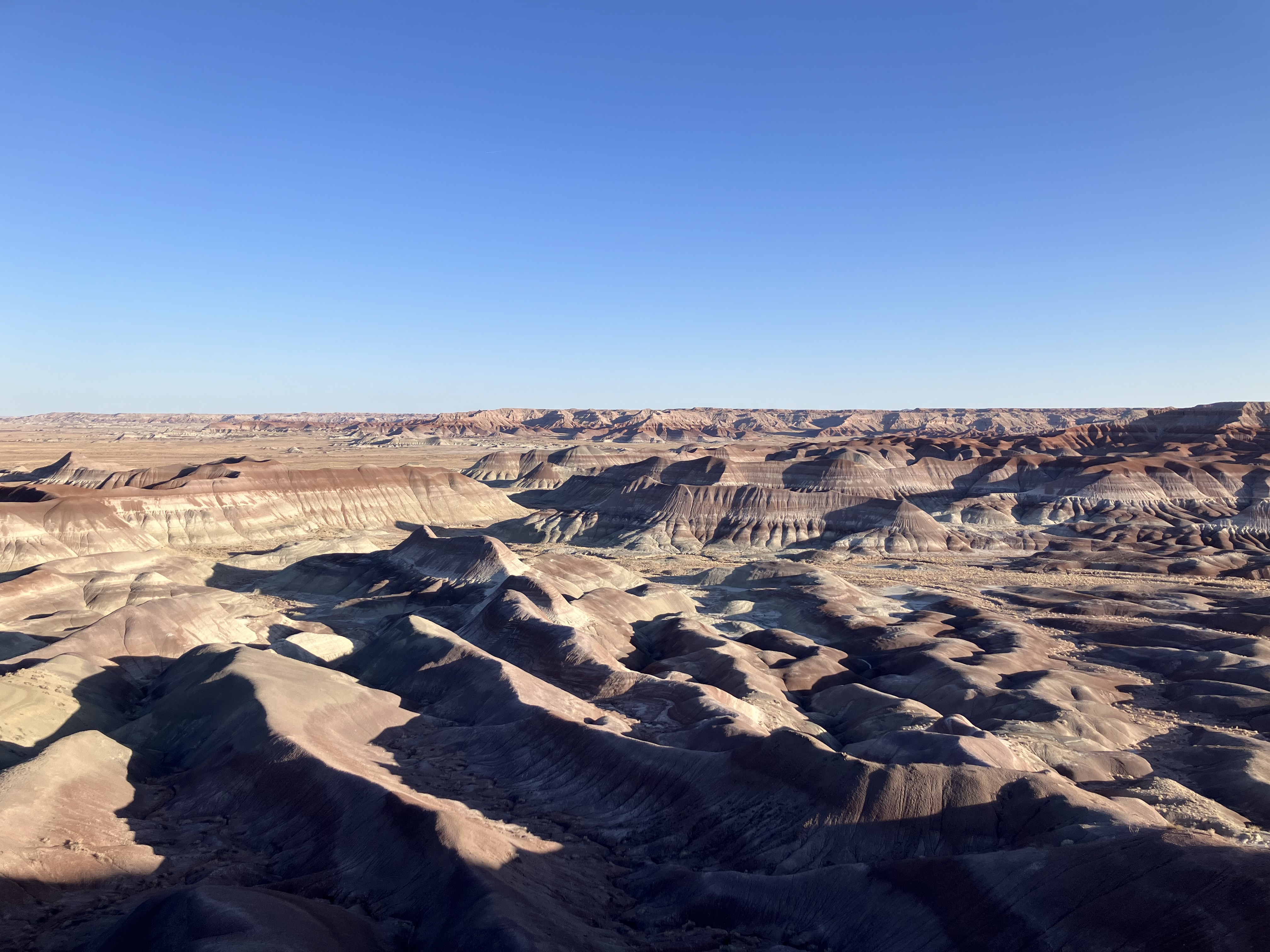
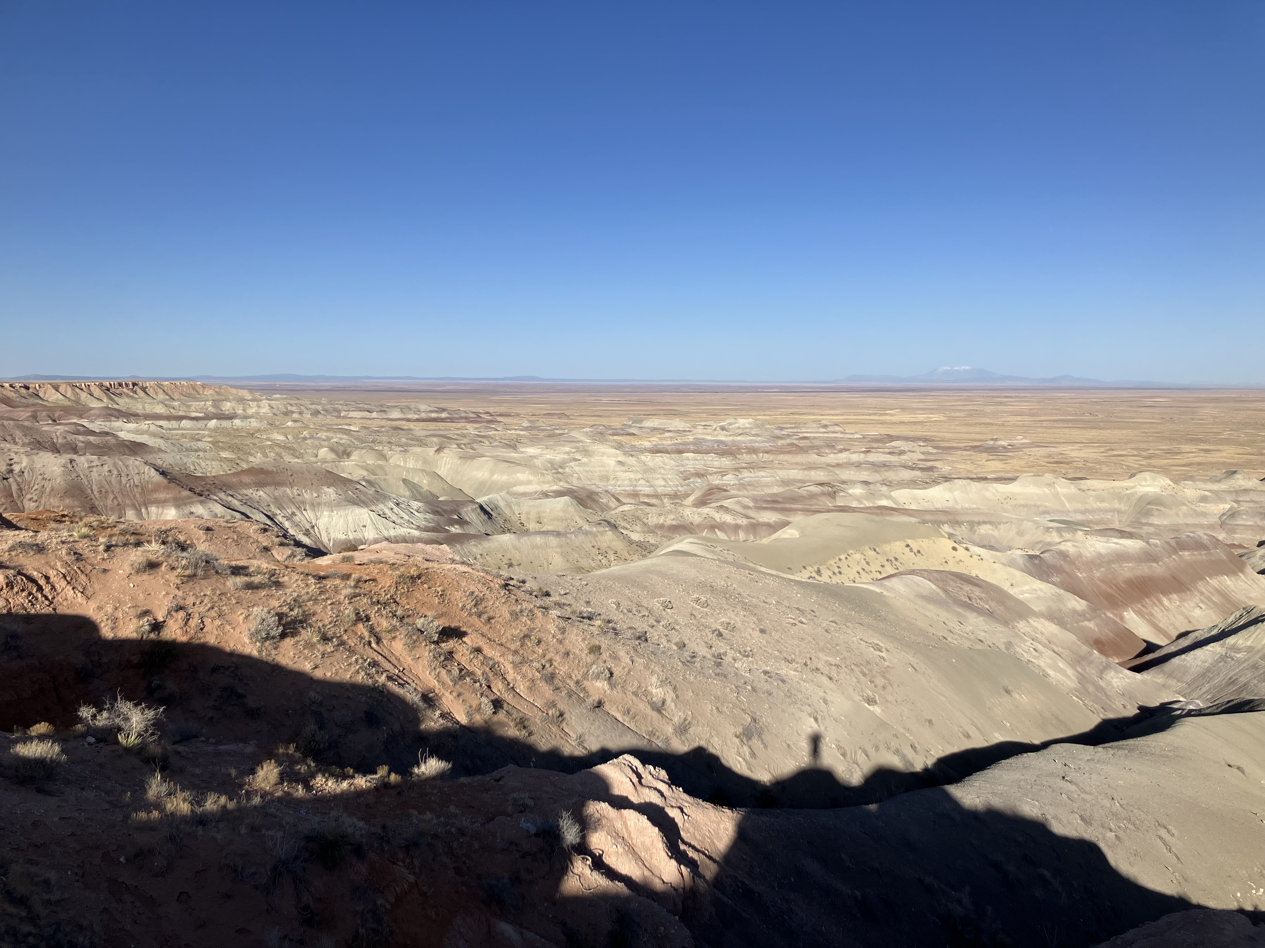
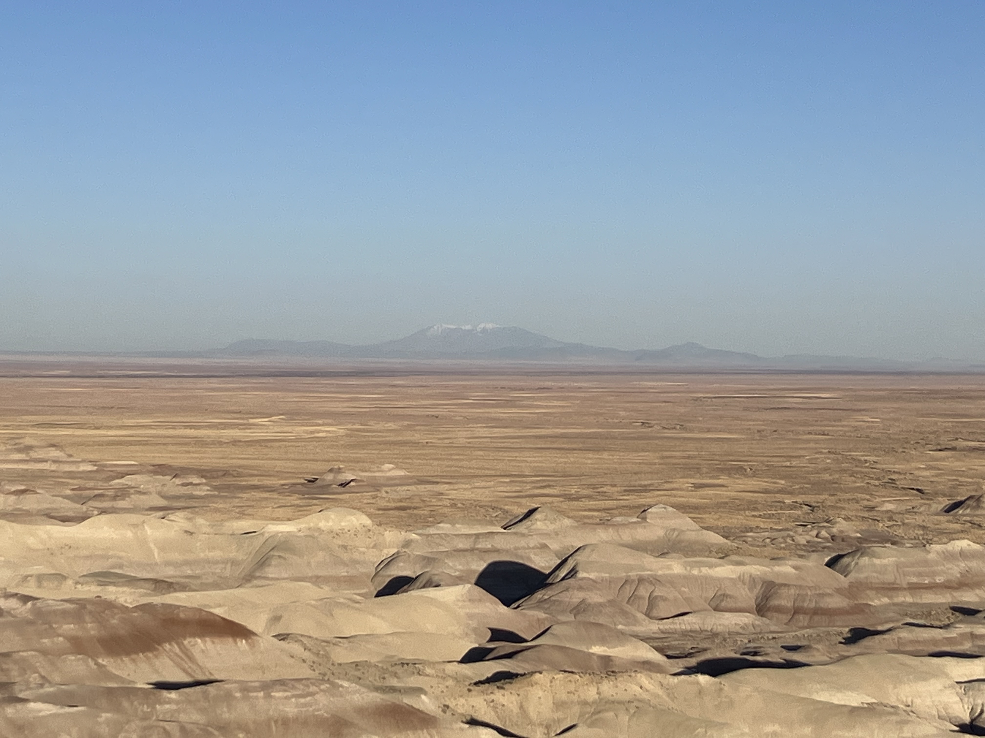
Arrived at the Blue Mesa area at 1:20
and hiked the one-mile loop trail. The place looks like another planet.
The temperature was in the mid-70s but it was quite warm in the sun. It must be brutal in the summer
(and this is one reason I traveled in the spring).
 |
 |
 |
 |
 |
 |
 |
 |
 |
 |
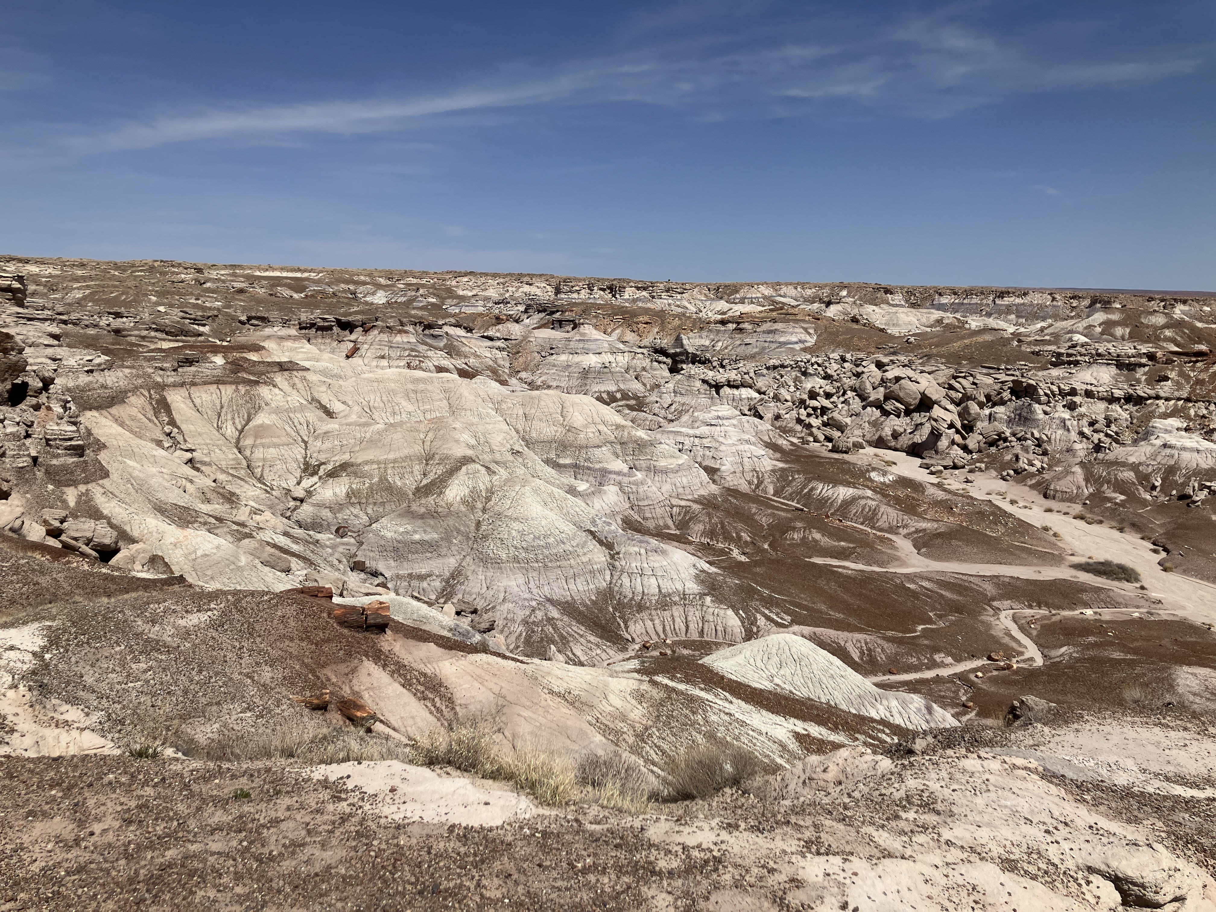
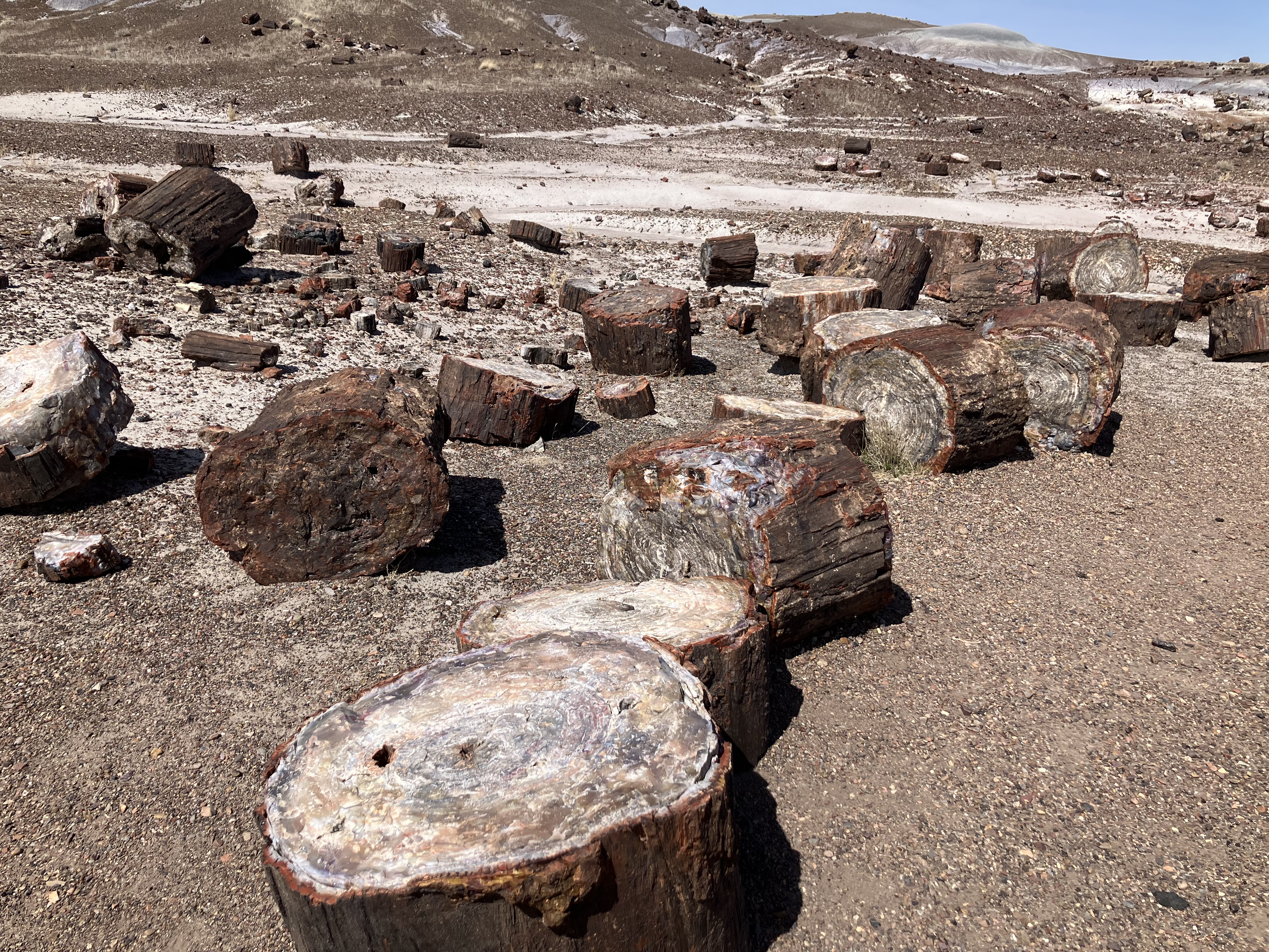
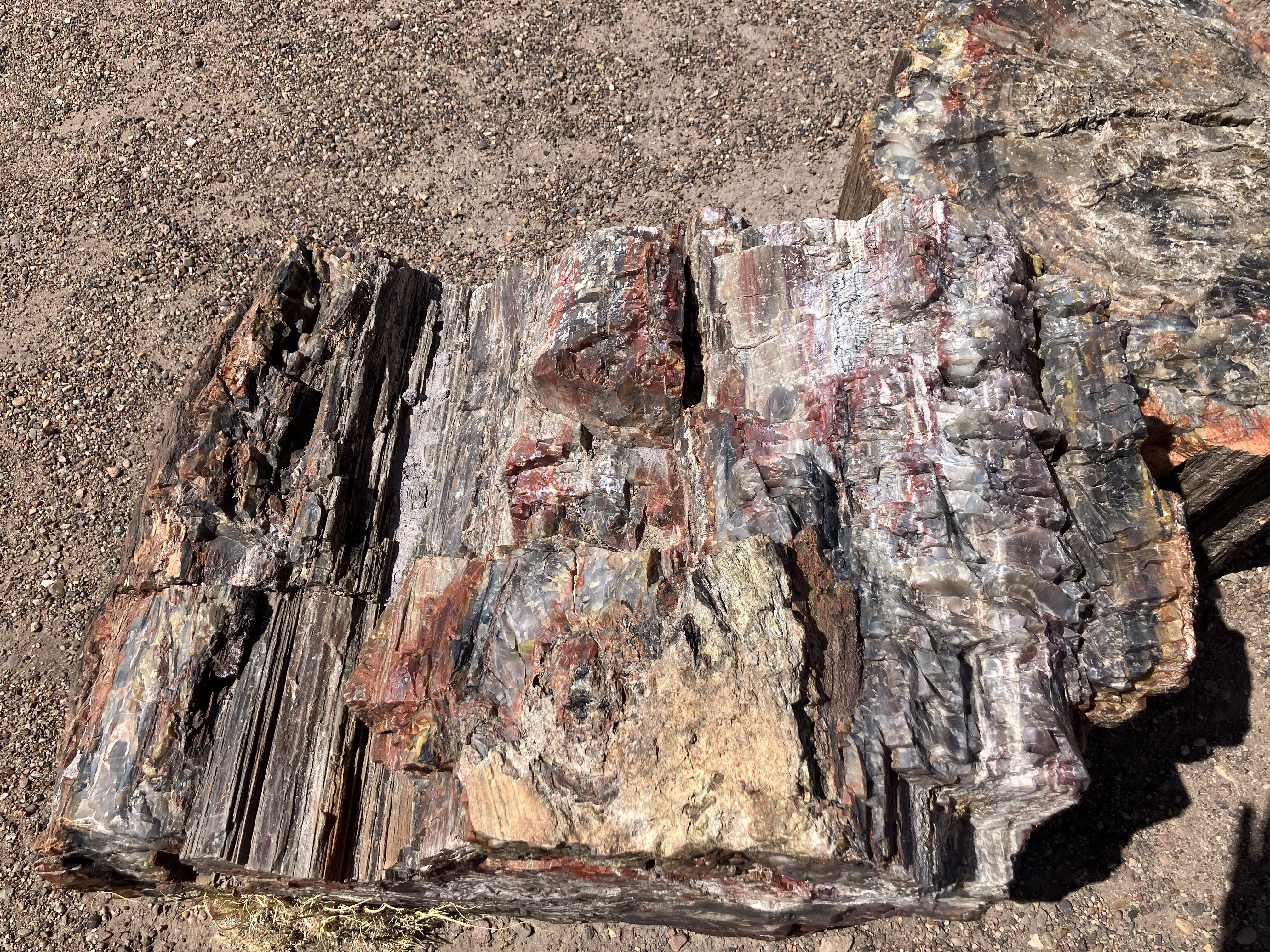
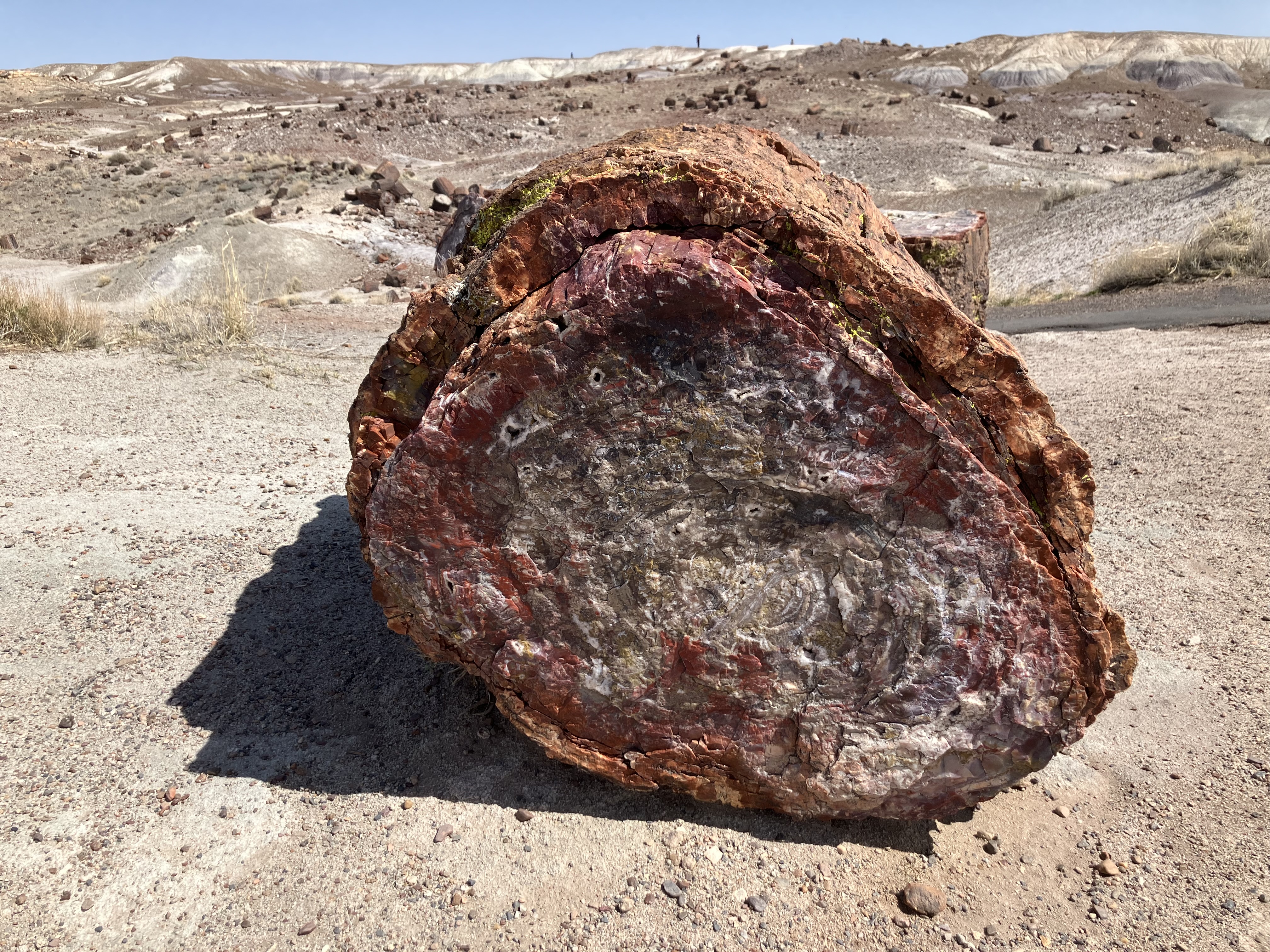
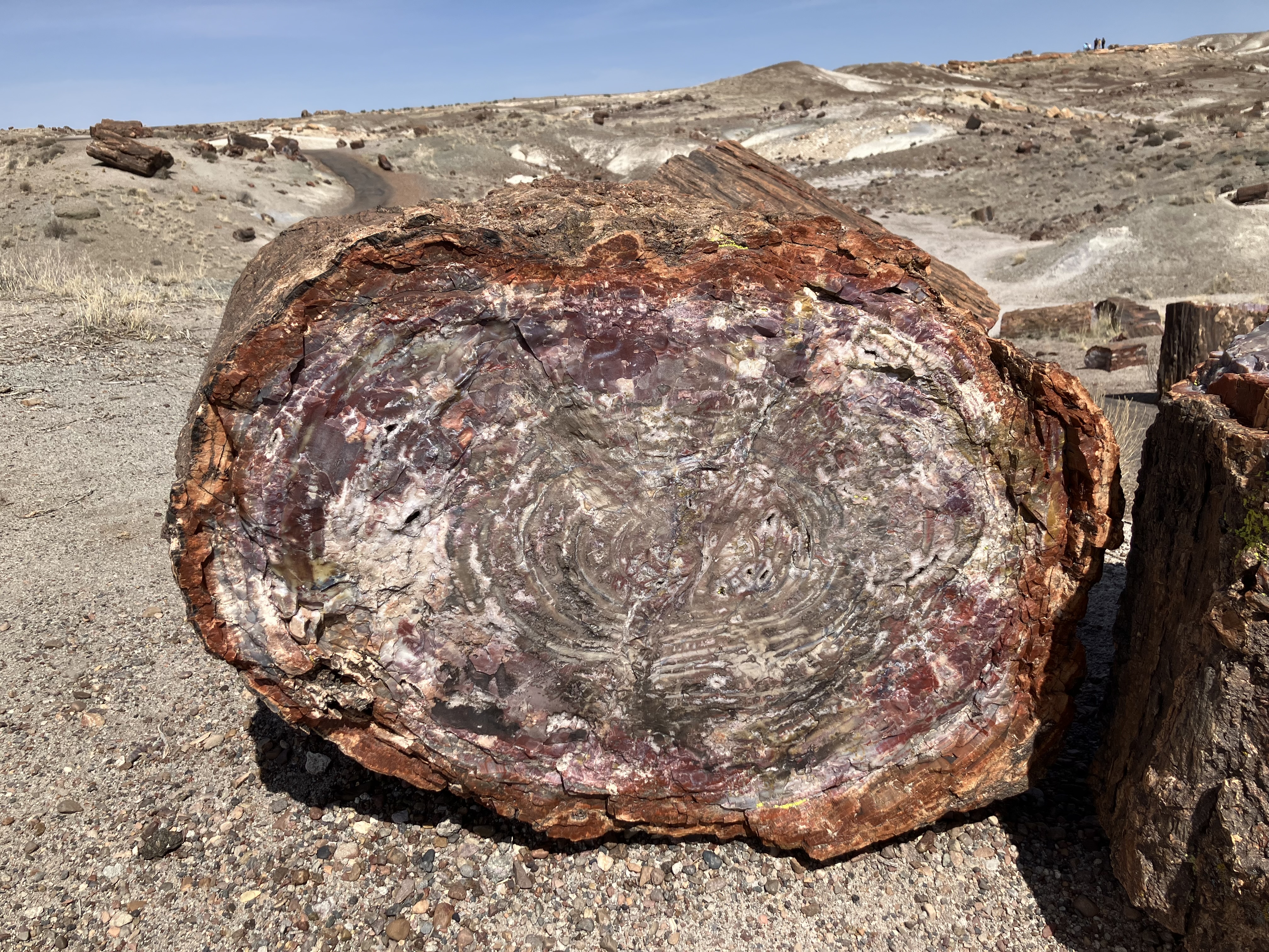
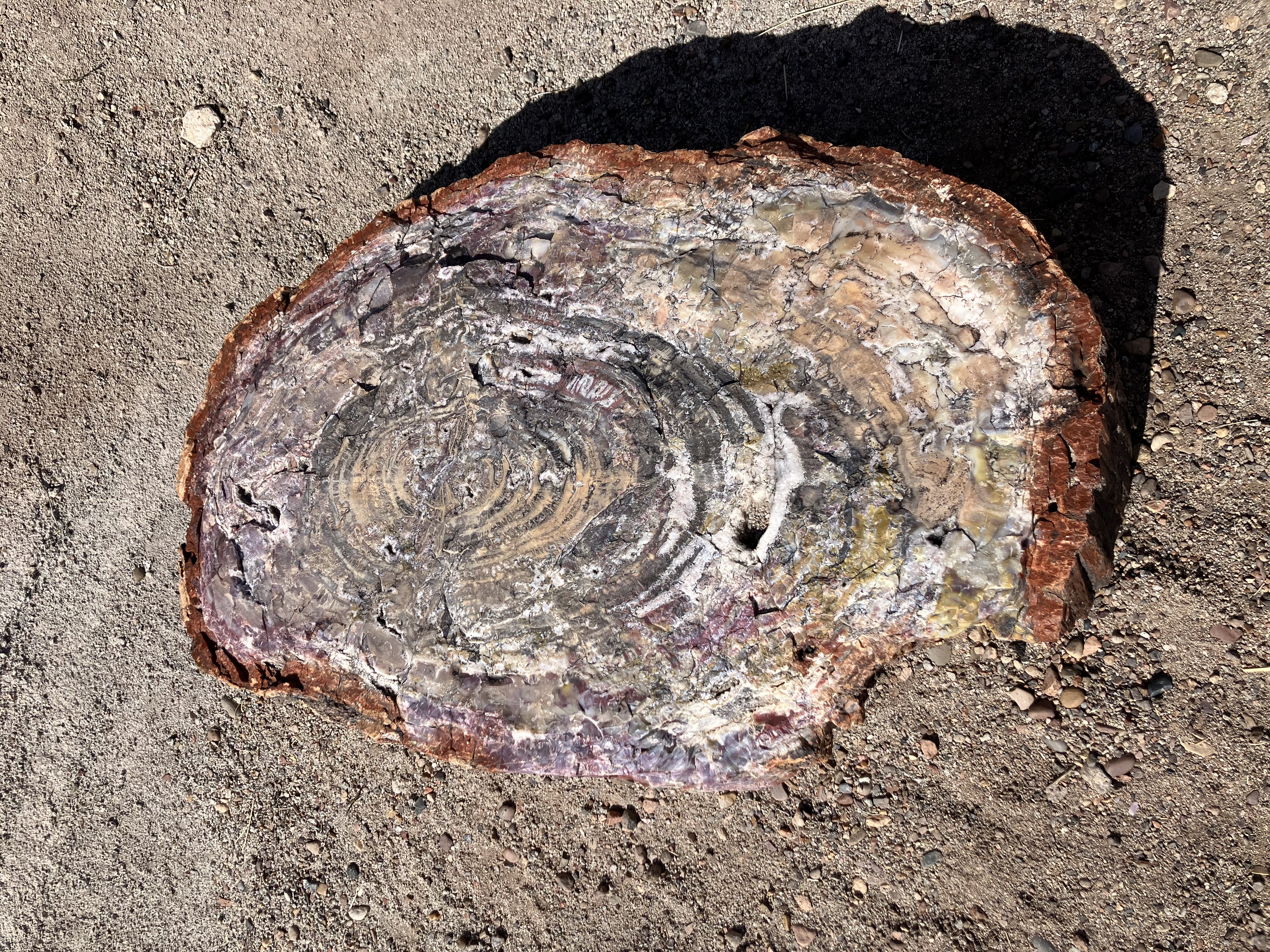
There is some petrified wood in this area...
 |
 |
...but there is a lot more in the
Crystal Forest area, where I arrived just after 2:00.
 |
 |
 |
 |
 |
 |
Went to the café near the visitor center (where there is cell service)
to post my photos on Facebook and email them to myself,
then left at 3:15.
Arrived in Winslow a few minutes after 4:00
and checked into Earl's Route 66 Motor Court. Took a shower, ate some
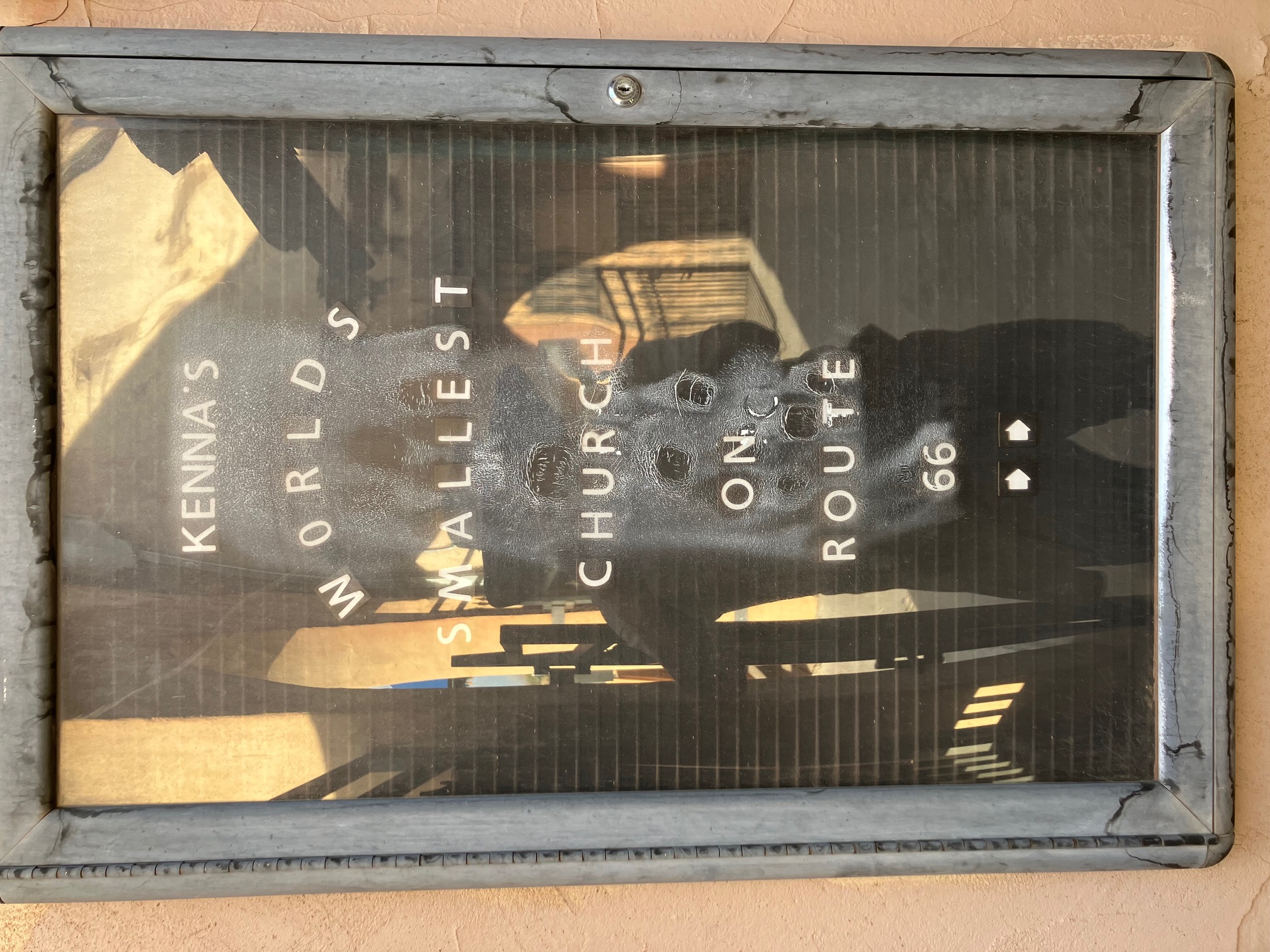
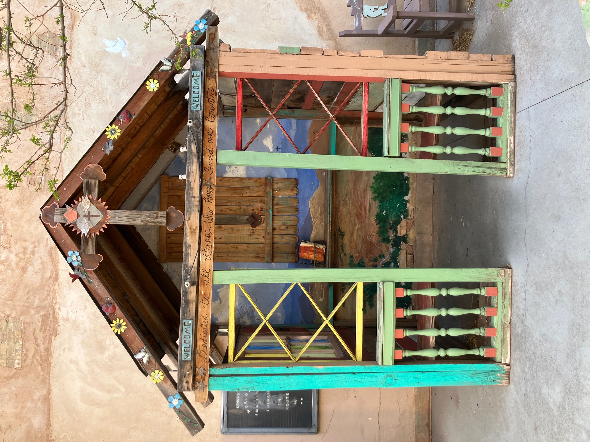
food, and set out on foot at 5:25. Walked to the
Tiny Church of the Mother Road (which is sometimes
referred to as The World's Smallest Church, but that is a dubious claim since other churches claim to be smaller, e.g.,
Cross Island Chapel and
Our Lady of the Pines).
 |
 |
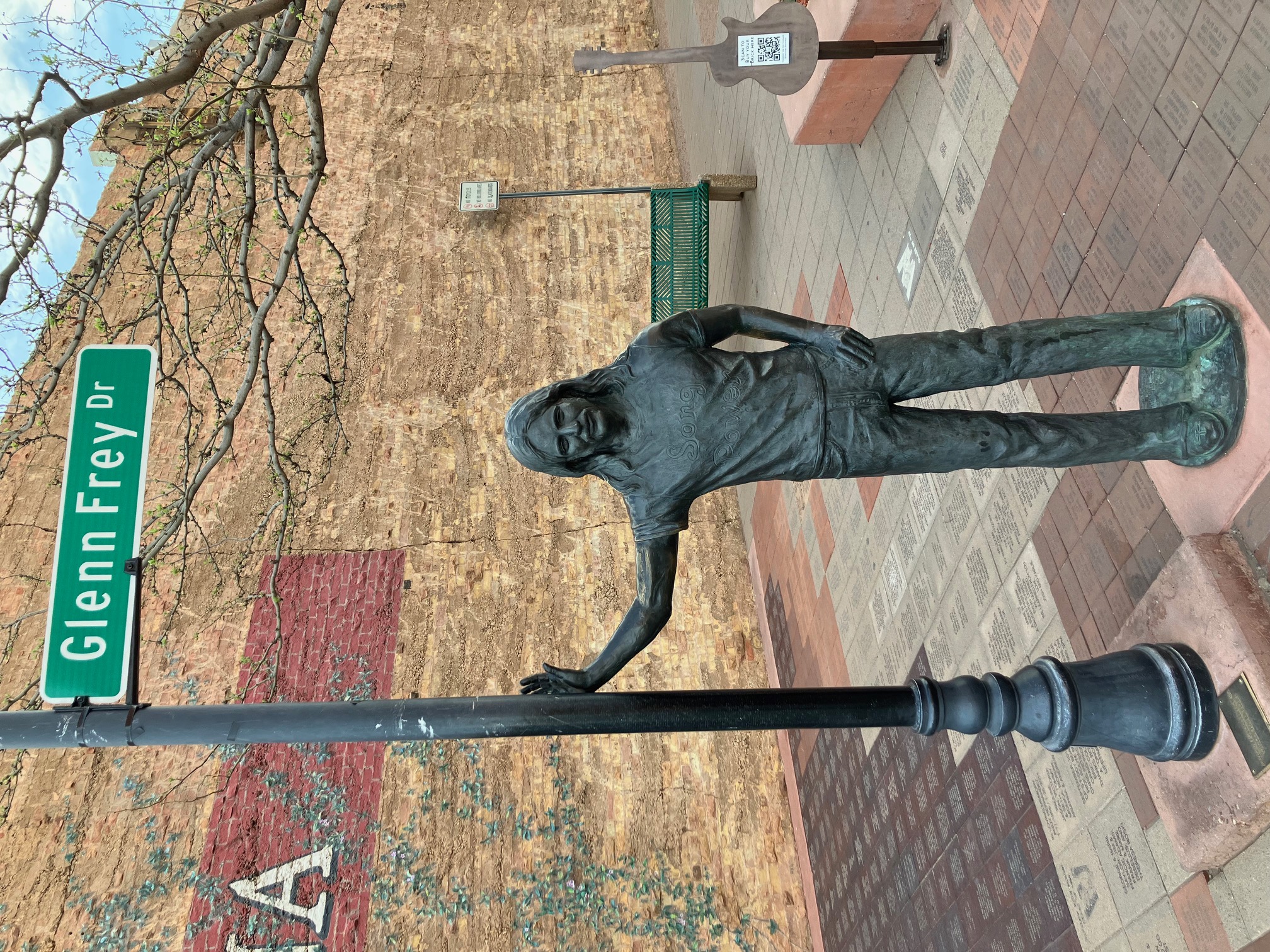
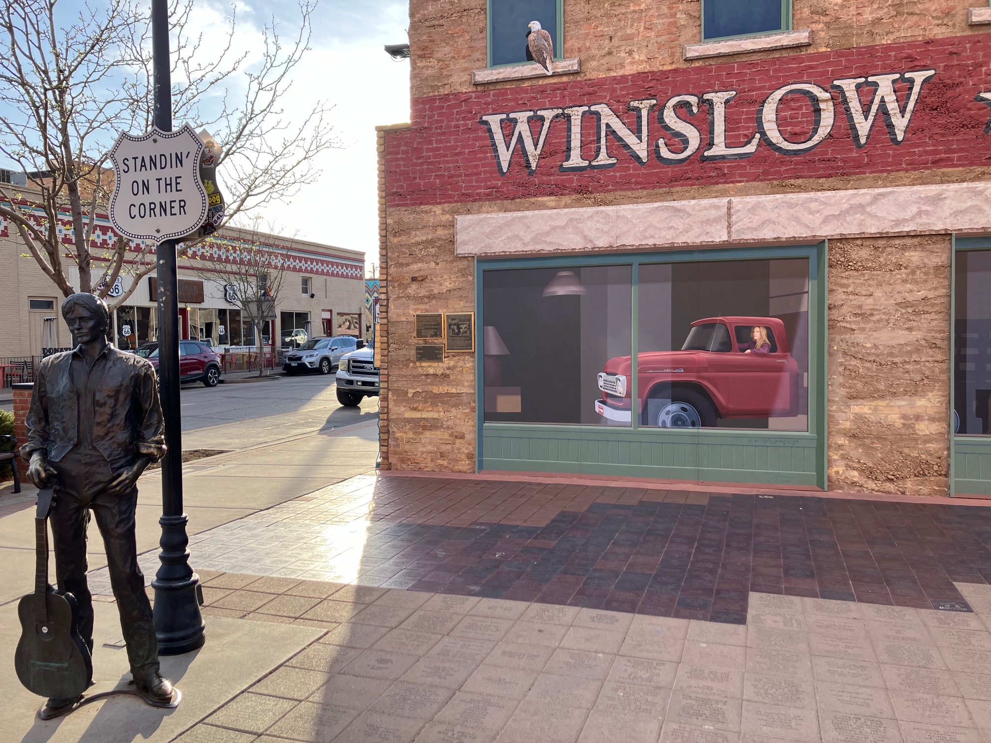
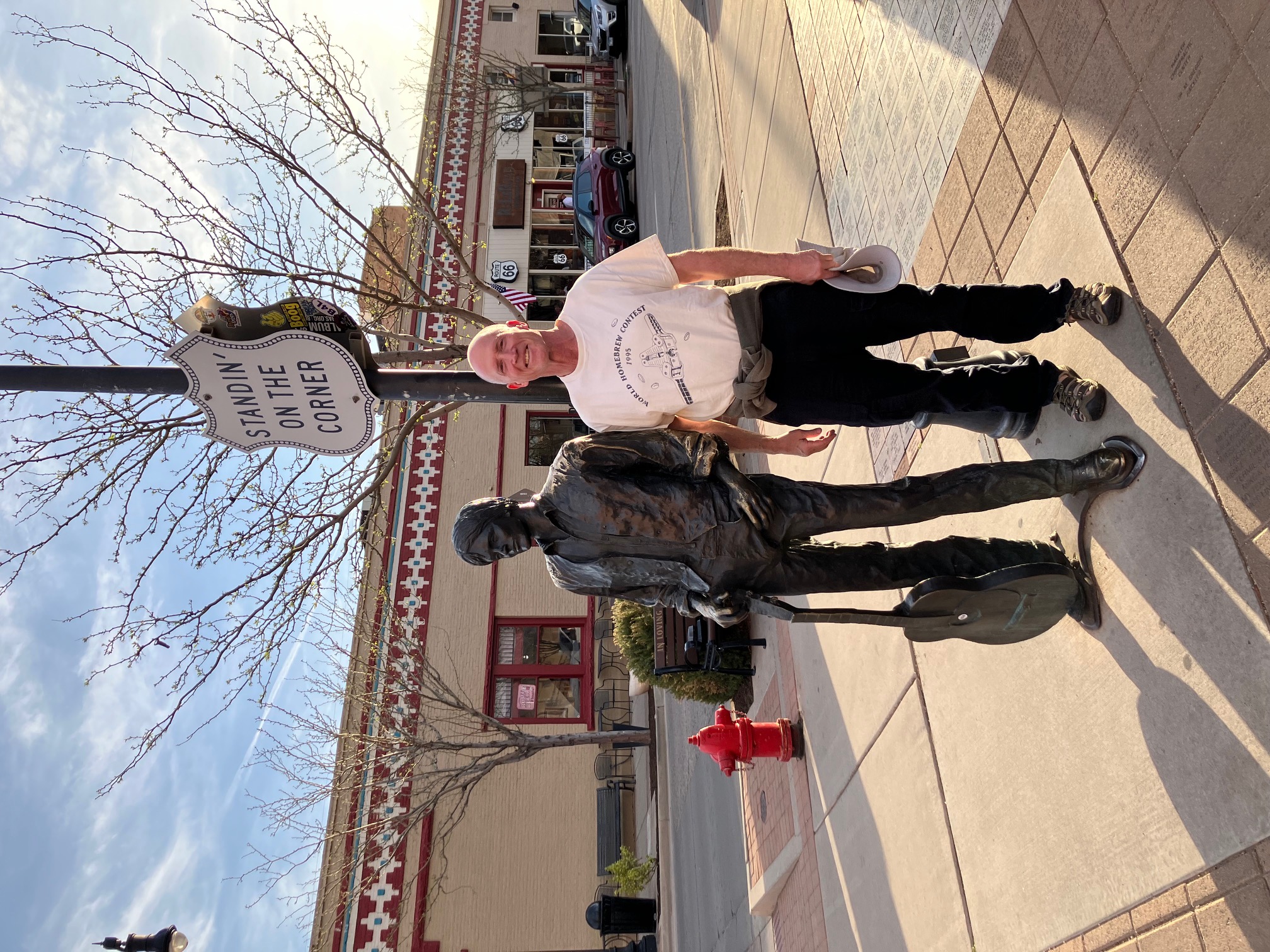
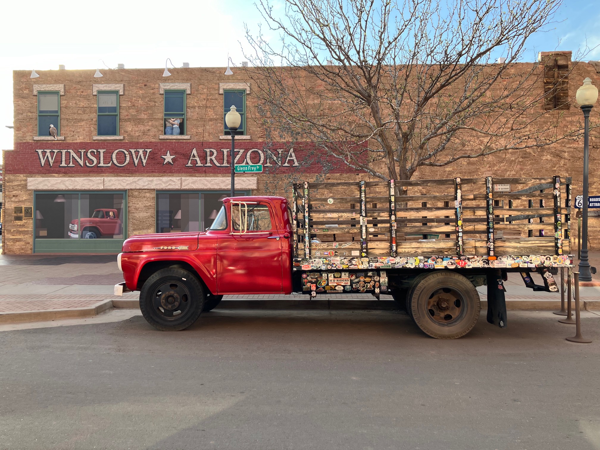
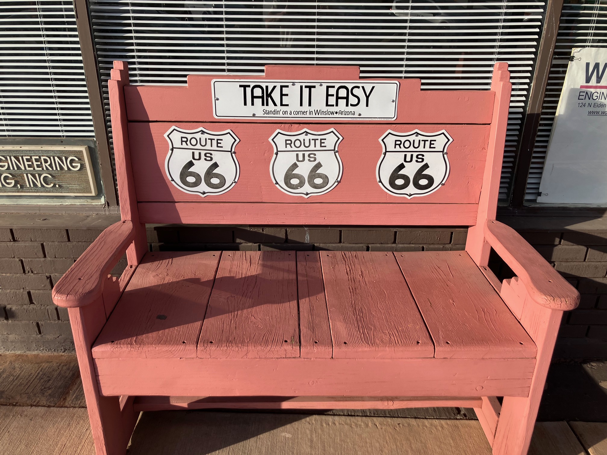
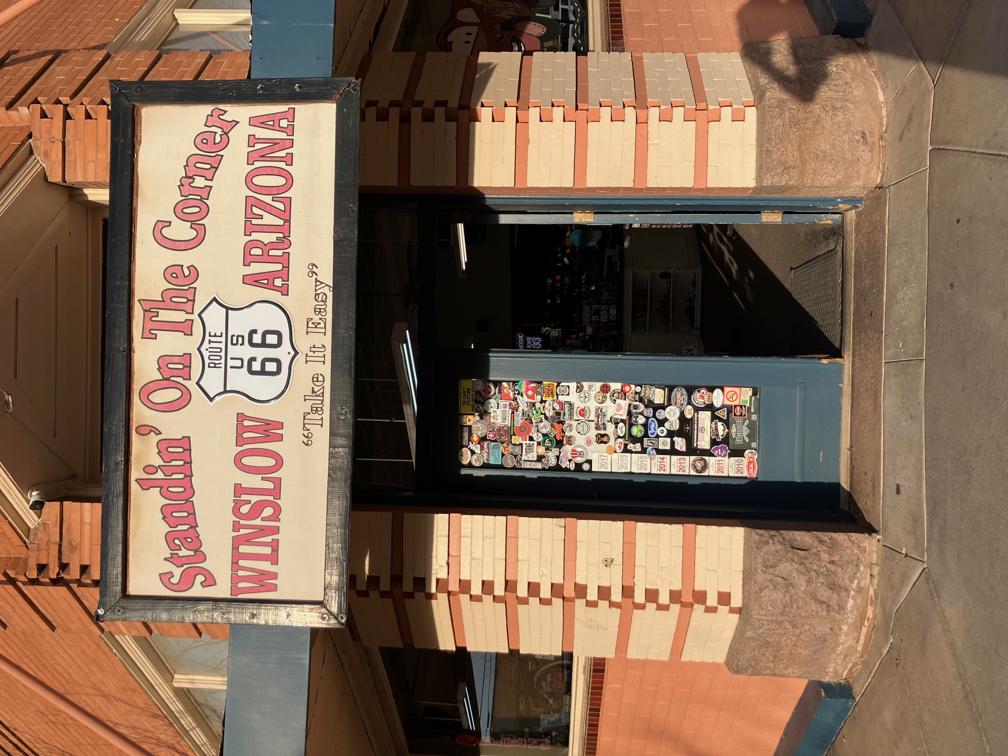
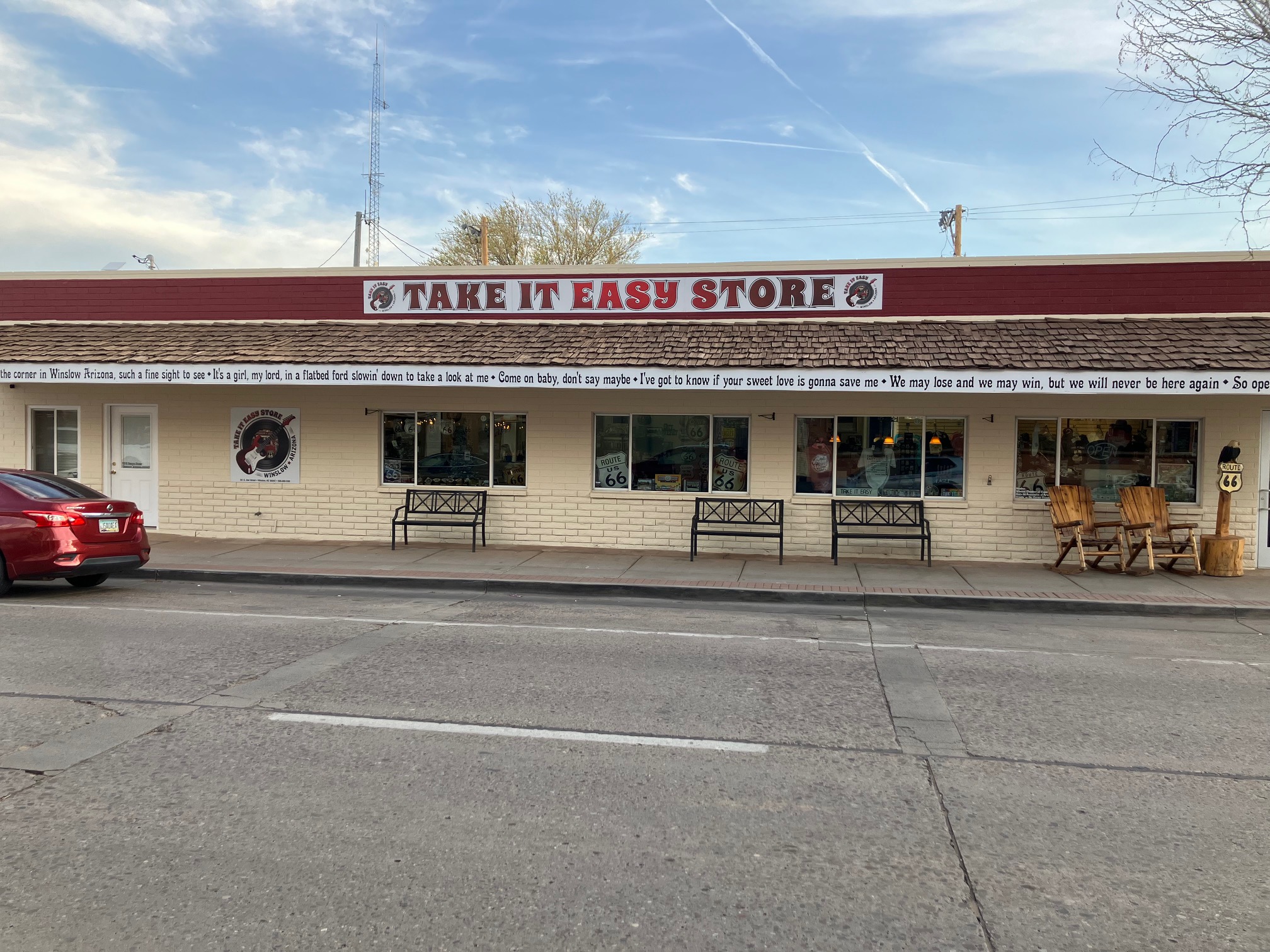
Just down the street is Standin' on the Corner Park, a monument to
the Eagles song Take it Easy, which mentions Winslow Arizona. There is a flatbed Ford
(which is also mentioned in the song), and two statues (one of which is a likeness of Glenn Frey).
 |
 |
 |
 |
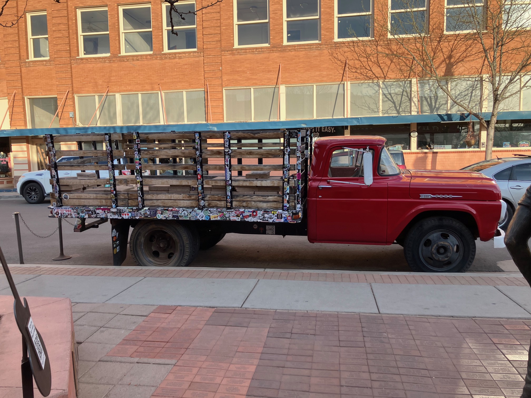 |
The town sure capitalizes on its claim to fame.
 |
 |
 |
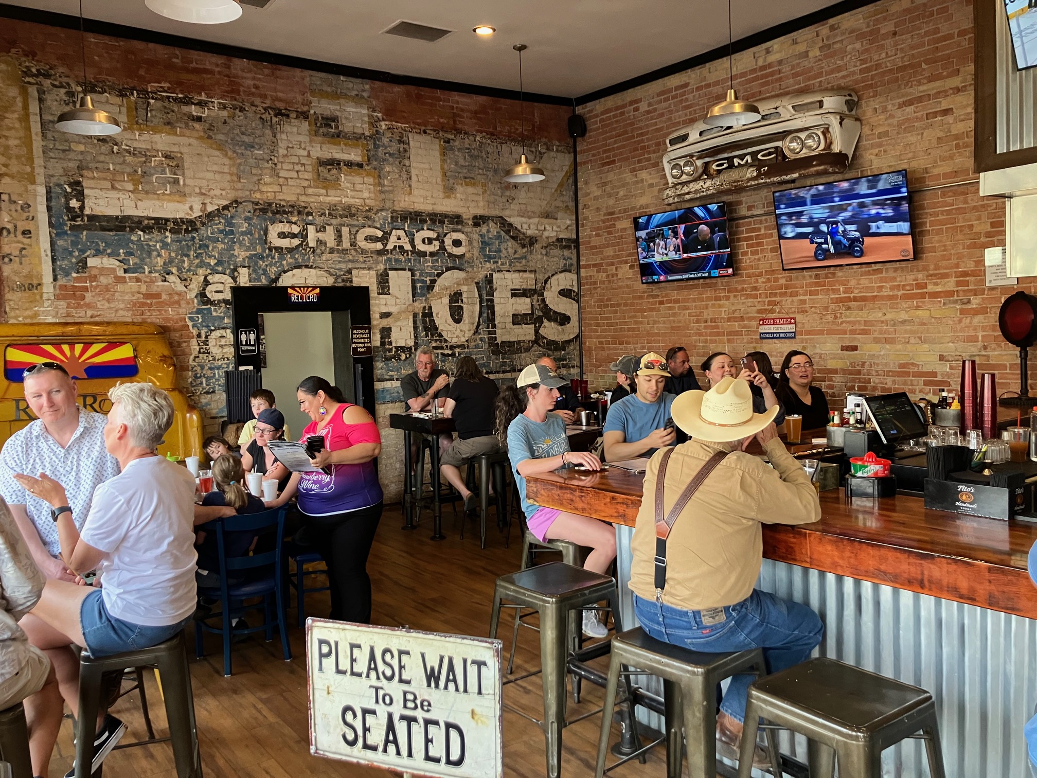
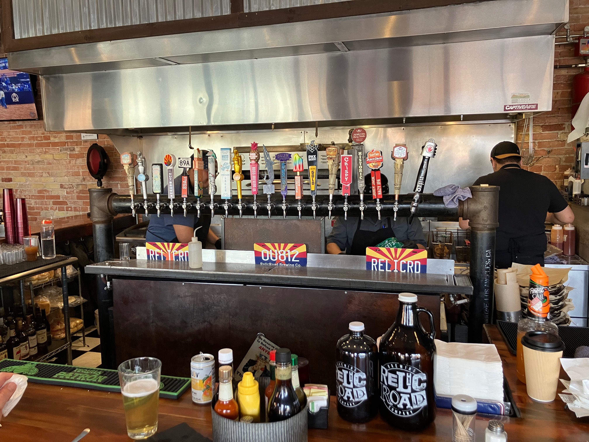
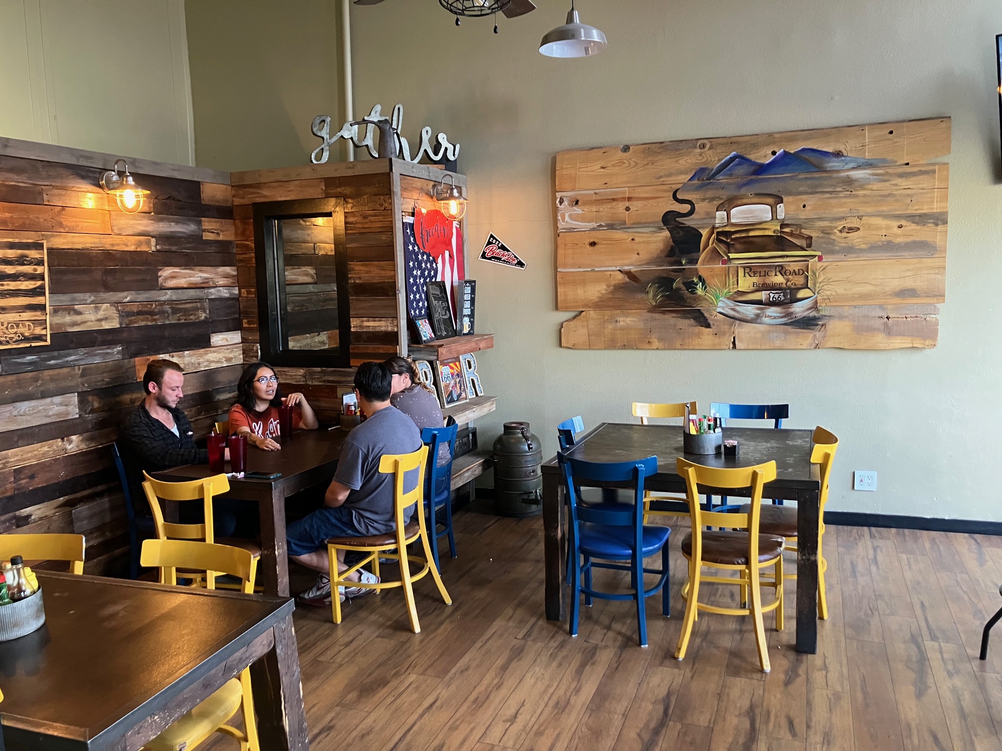
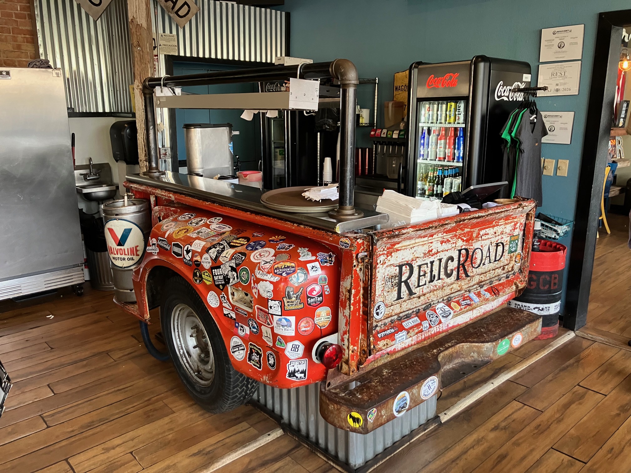
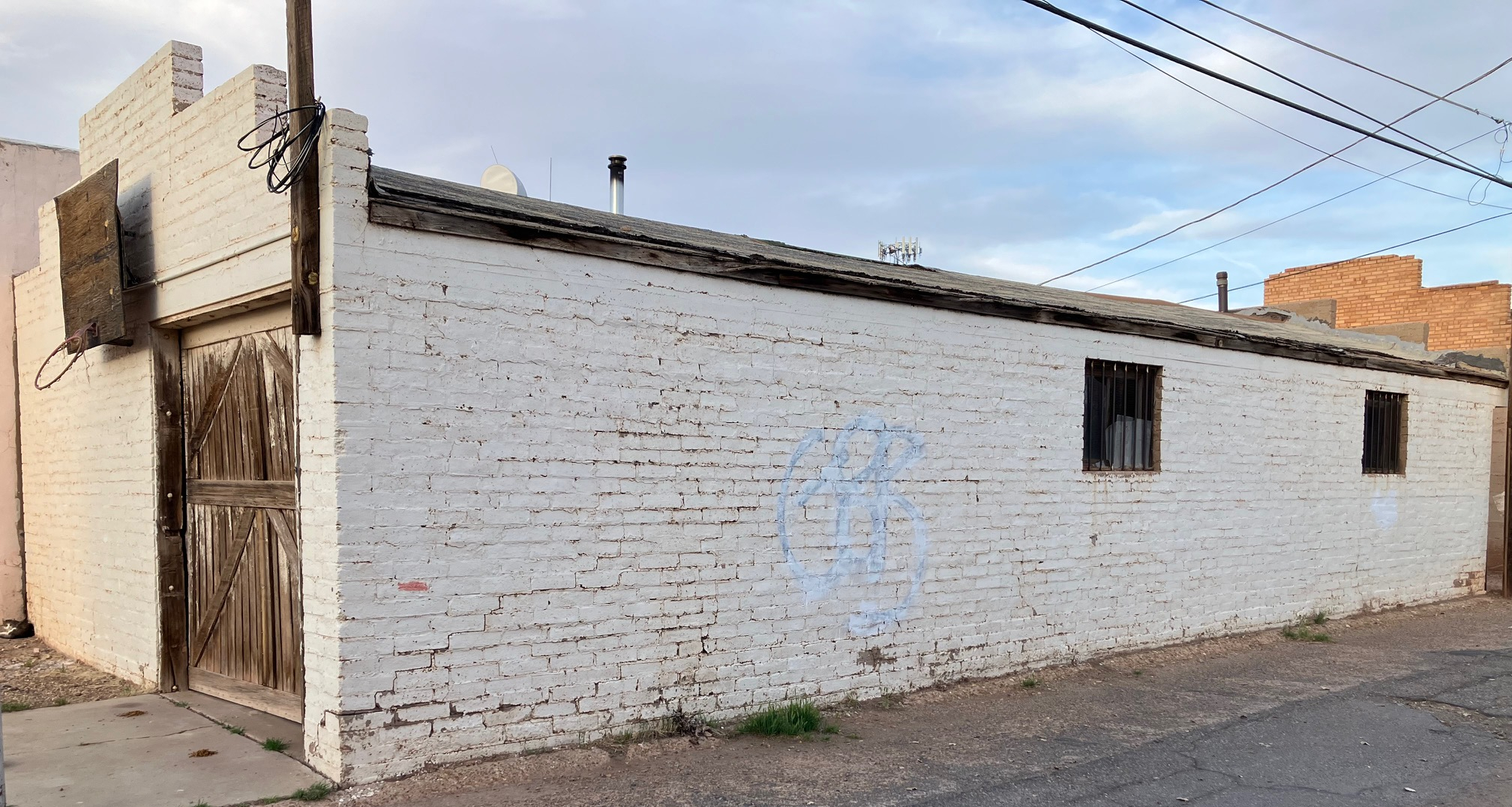
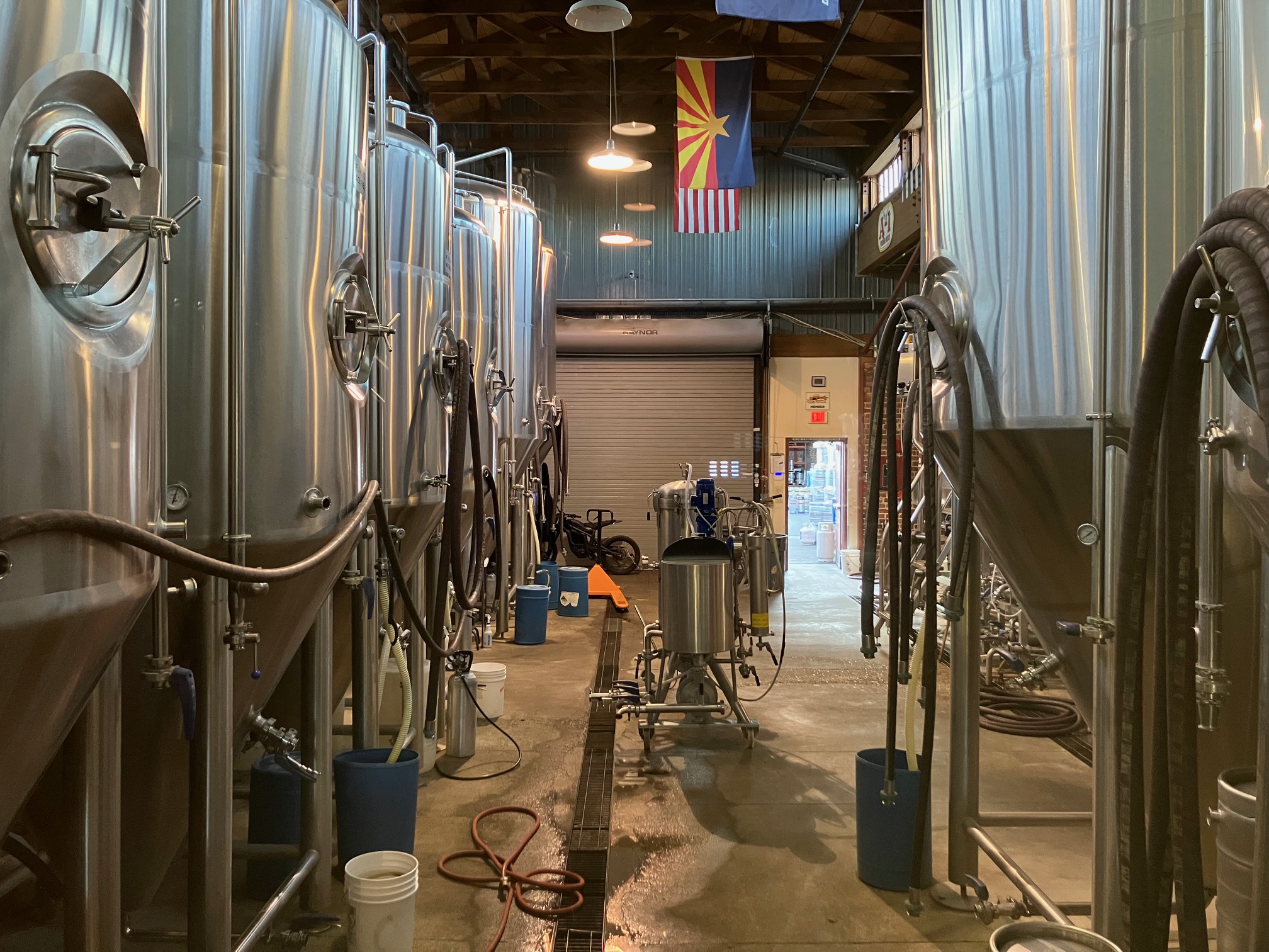
There is a brewery in town called RelicRoad Brewing.
Unfortunately at the time all it had on tap were guest beers because
it was in the process of moving its brewing operations to an abandoned
building across the street.
 |
 |
 |
 |
 |
Walked back to the motel around 6:30, chronicled the day's events, and went to bed
around 10:00.
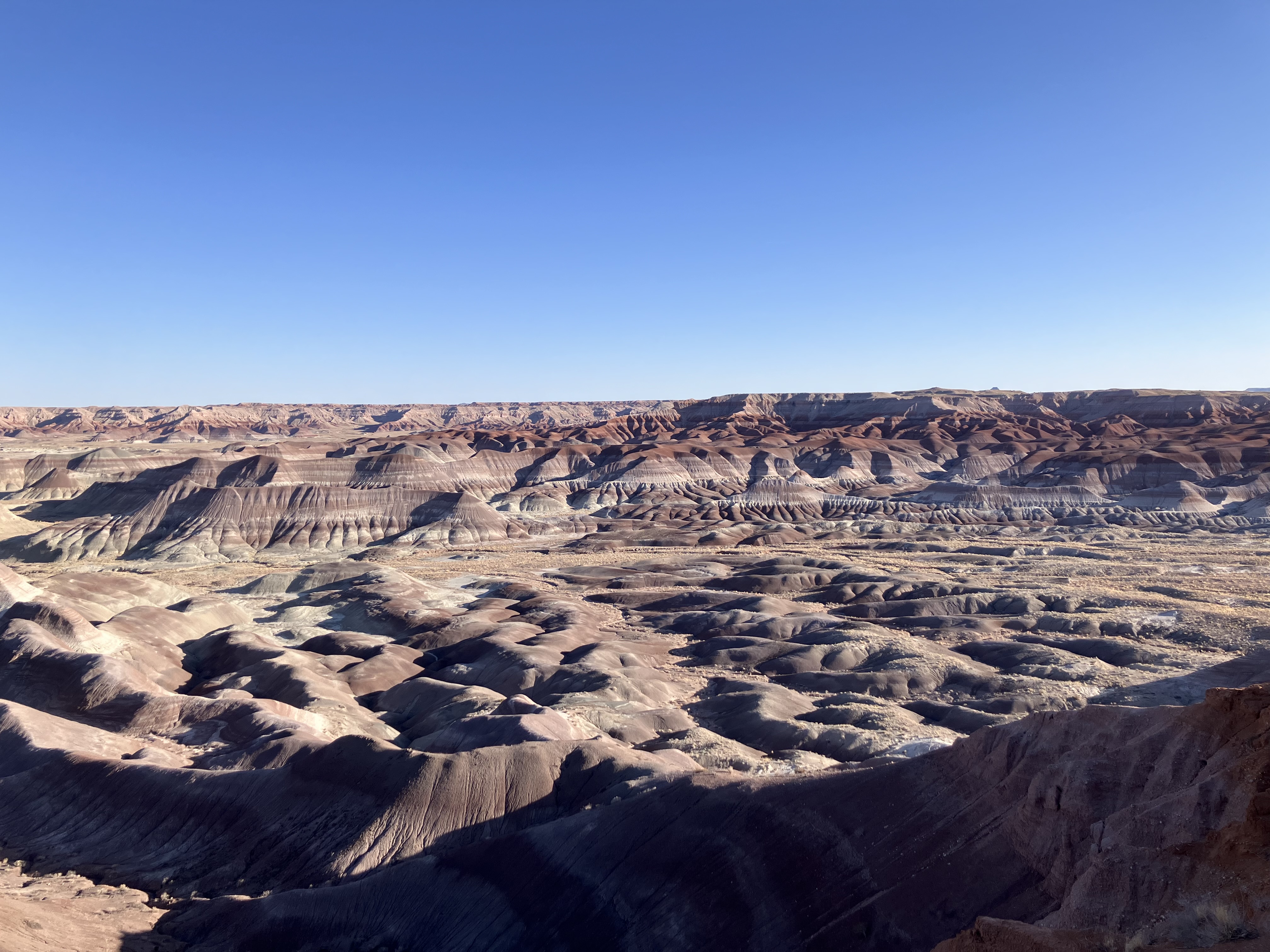
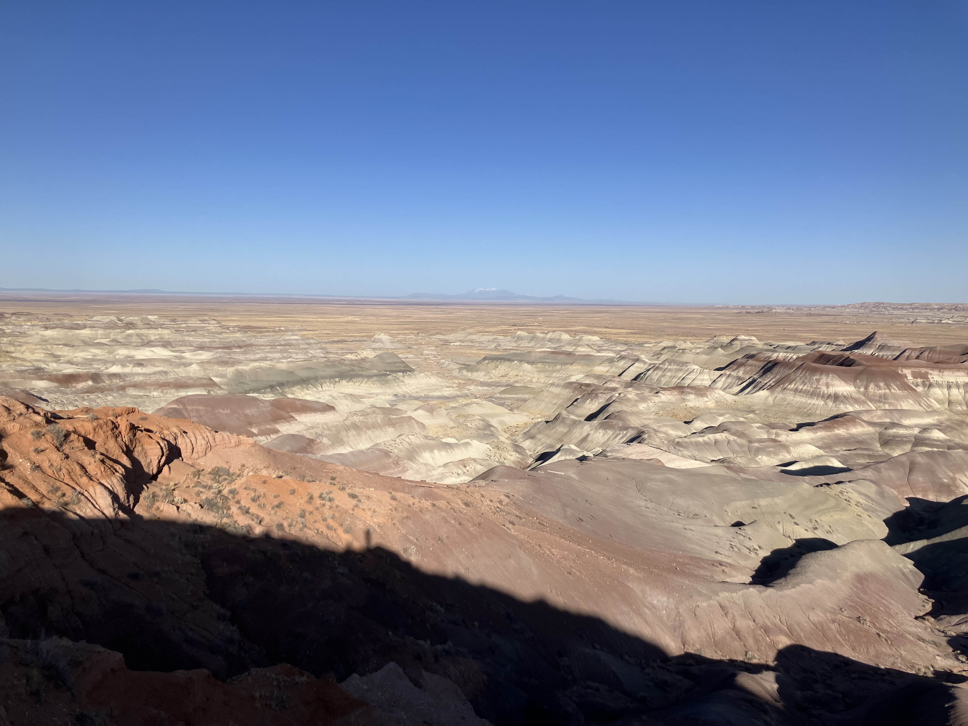
Wednesday April 9. Woke up around 2:30 and lay in bed for an hour.
Left a little before 6:00 for
Little Painted Desert County Park,
located 20 minutes north of Winslow. When I got there at 6:15 the sun was up but it hadn't risen enough
to illuminate the landscape, so I waited around and then got these views.
 |
 |
 |
 |
 |
 |
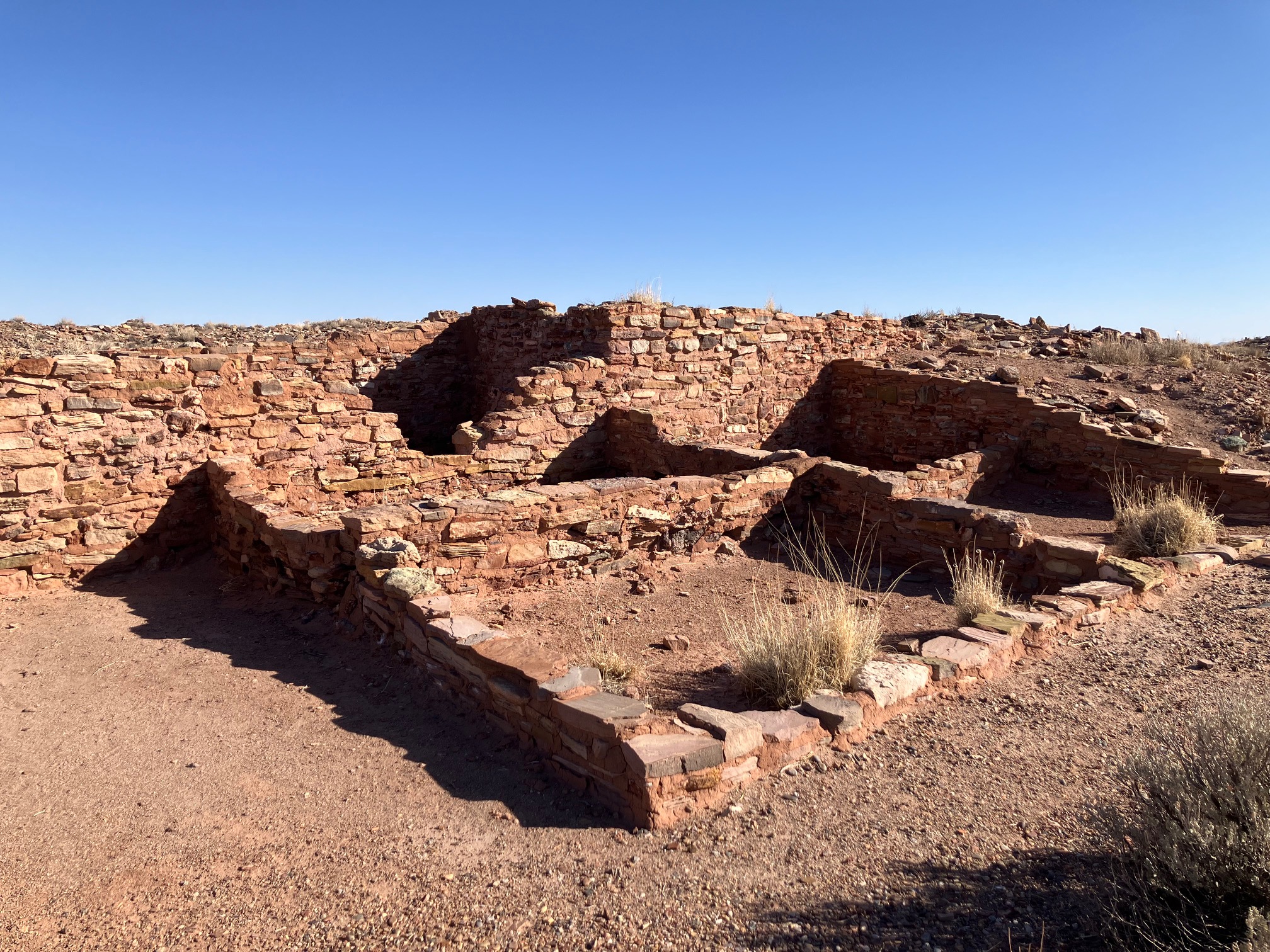
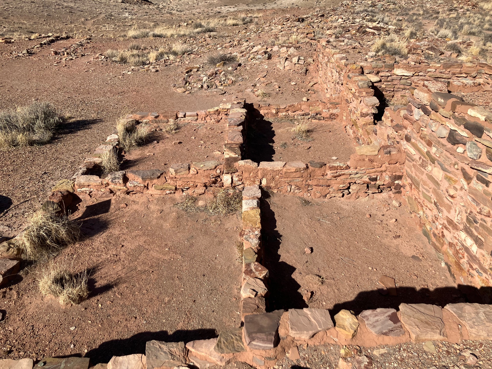
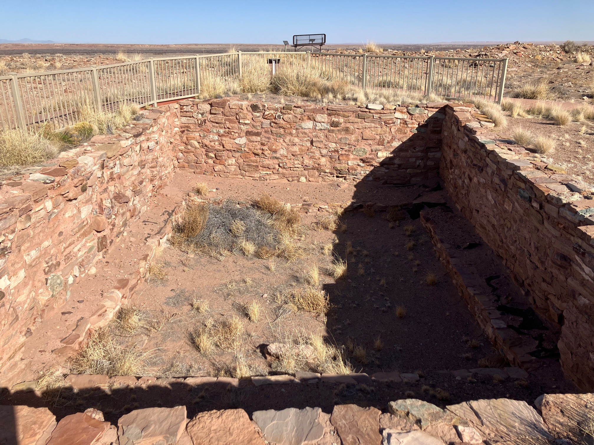
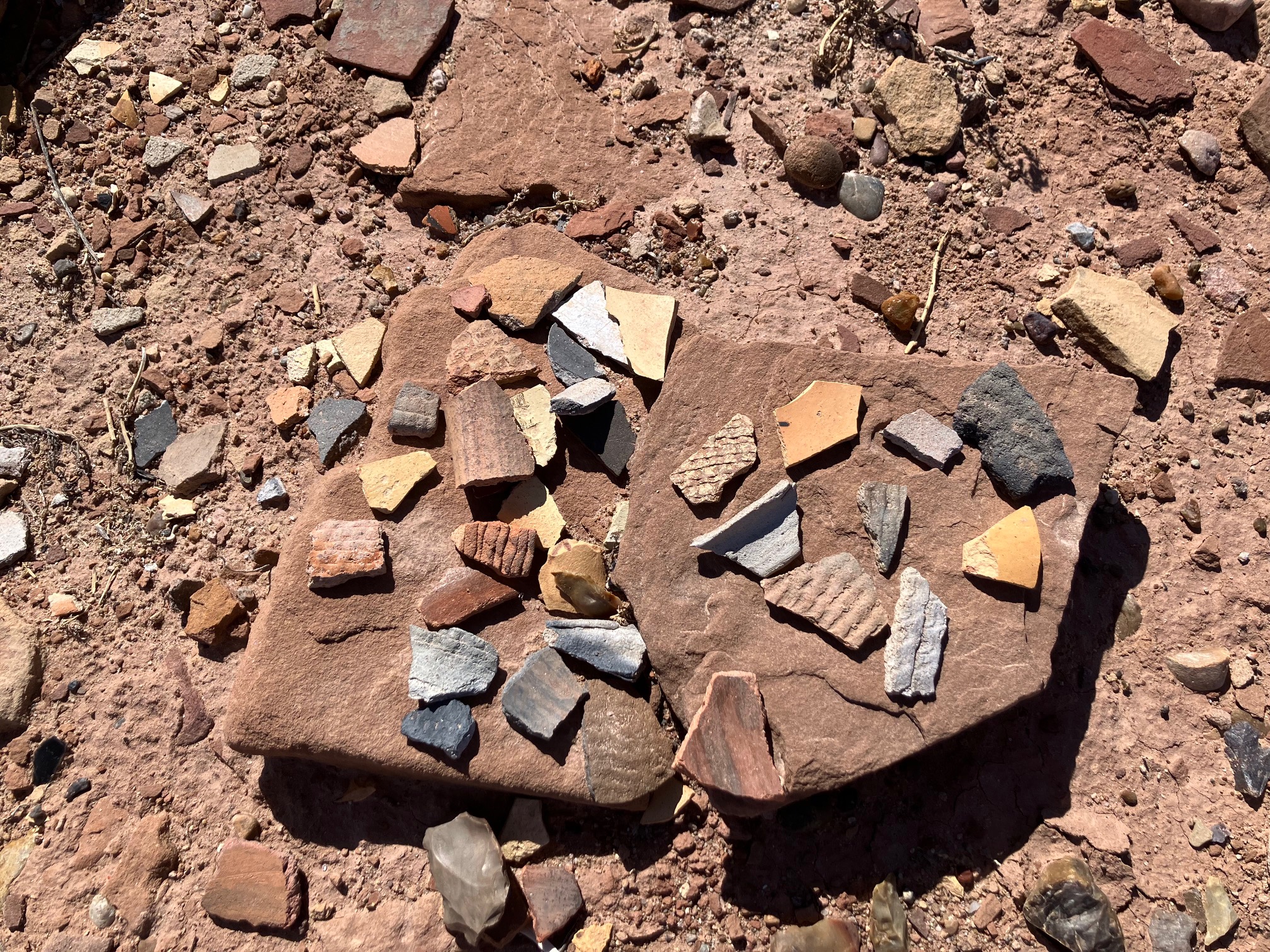
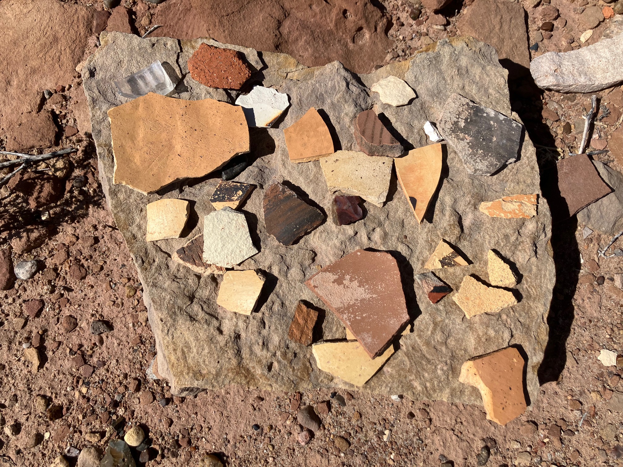
Just north of Winslow is
Homolovi State Park. Got there when it opened at 8:00. It has ancient Hopi pueblo ruins. The final two photos
in this set show ancient pottery shards.
 |
 |
 |
 |
 |
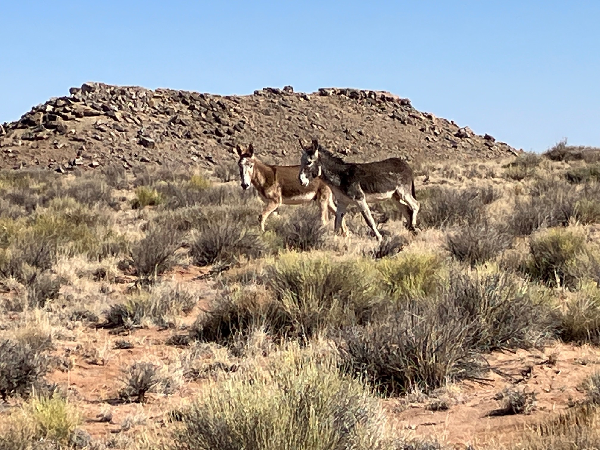
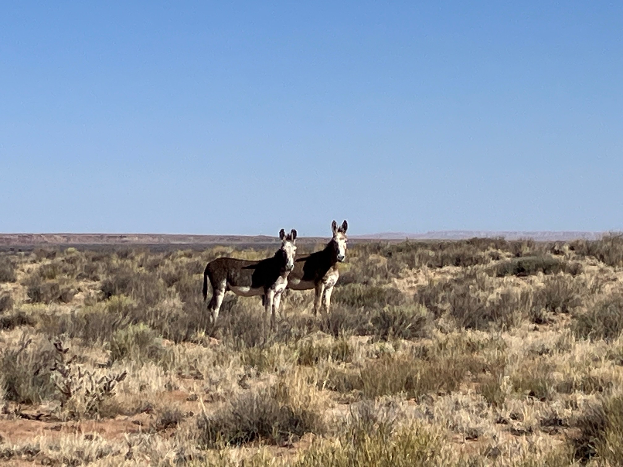
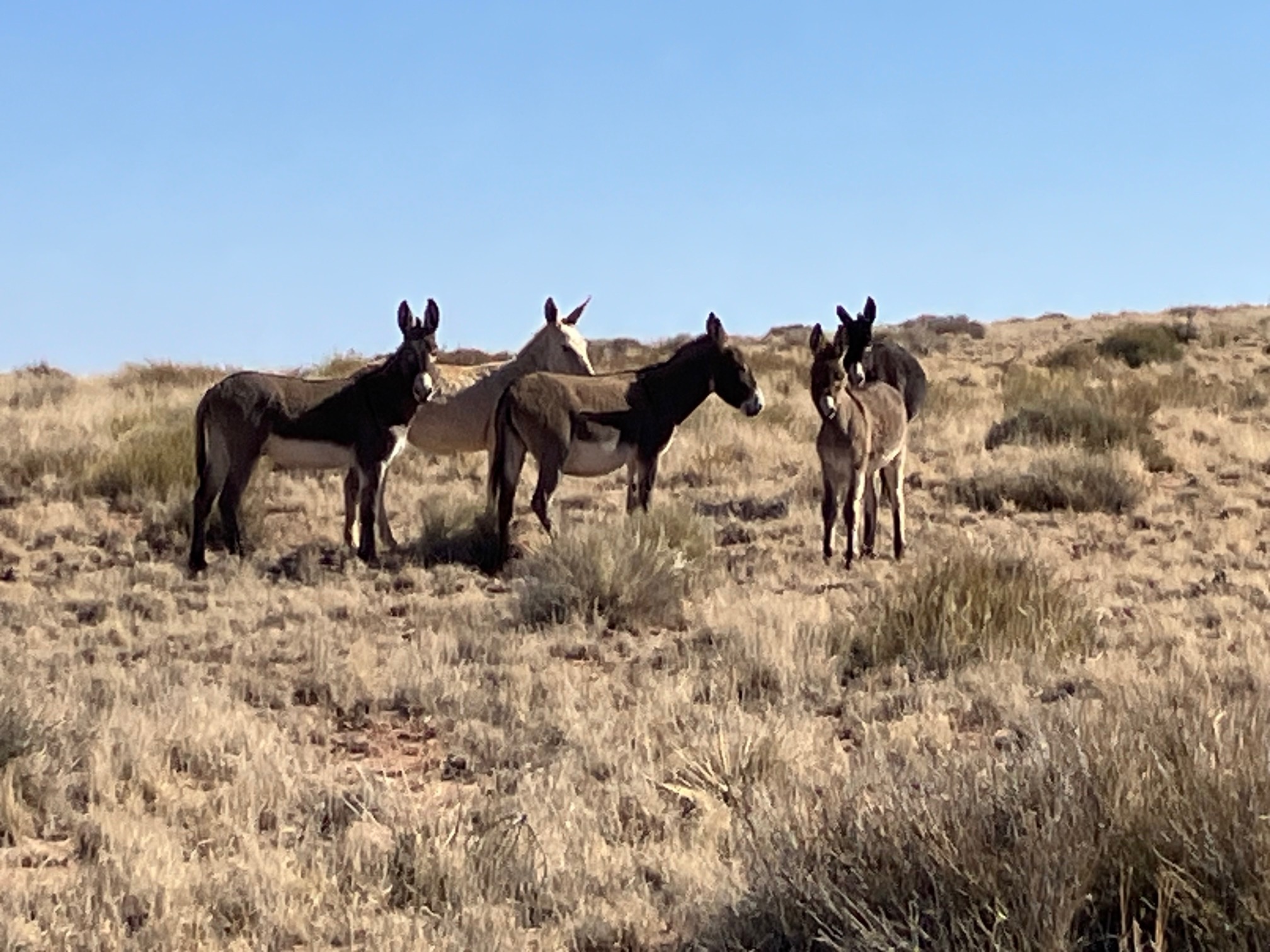
It also has wild burros.
 |
 |
 |
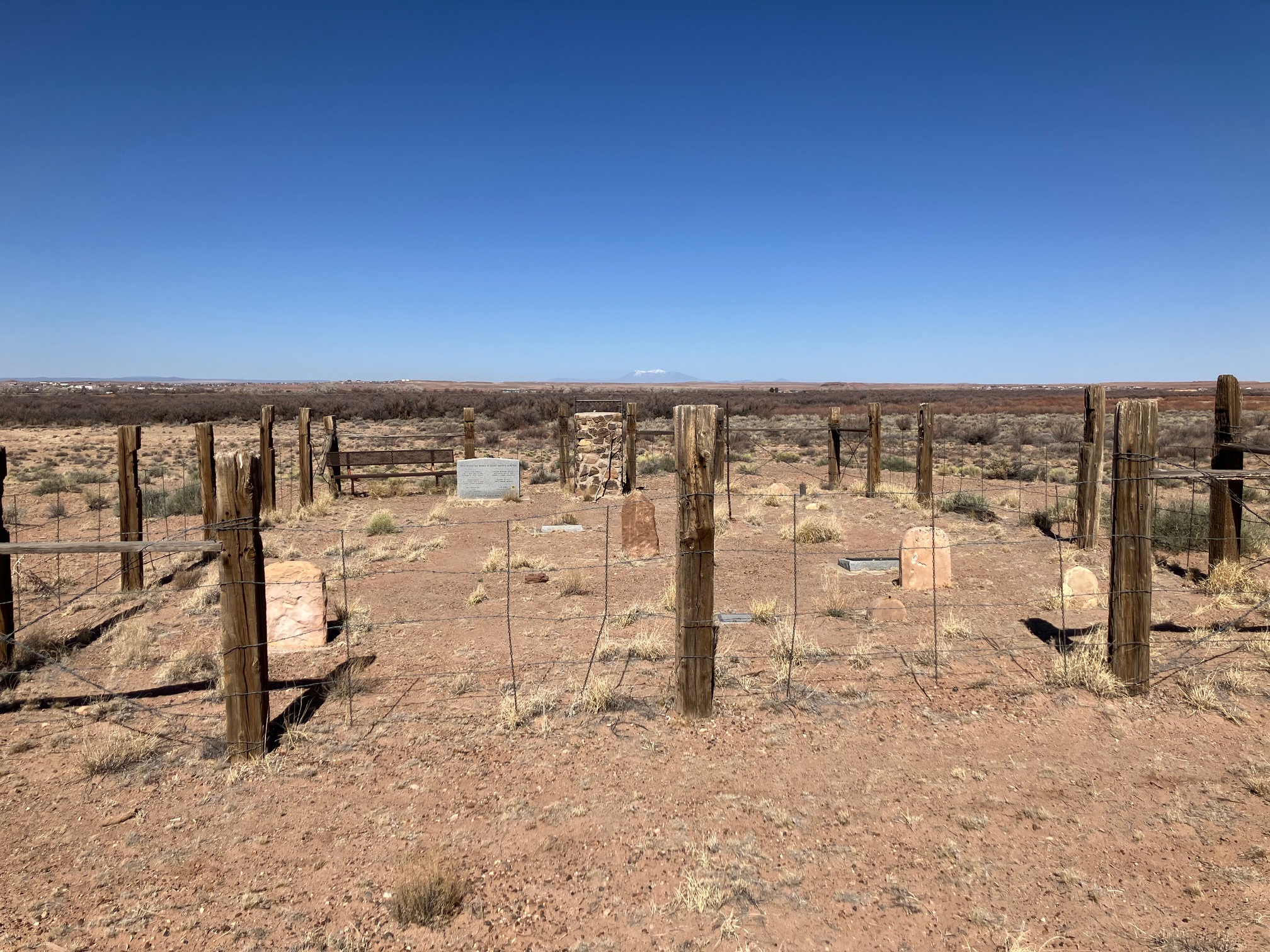
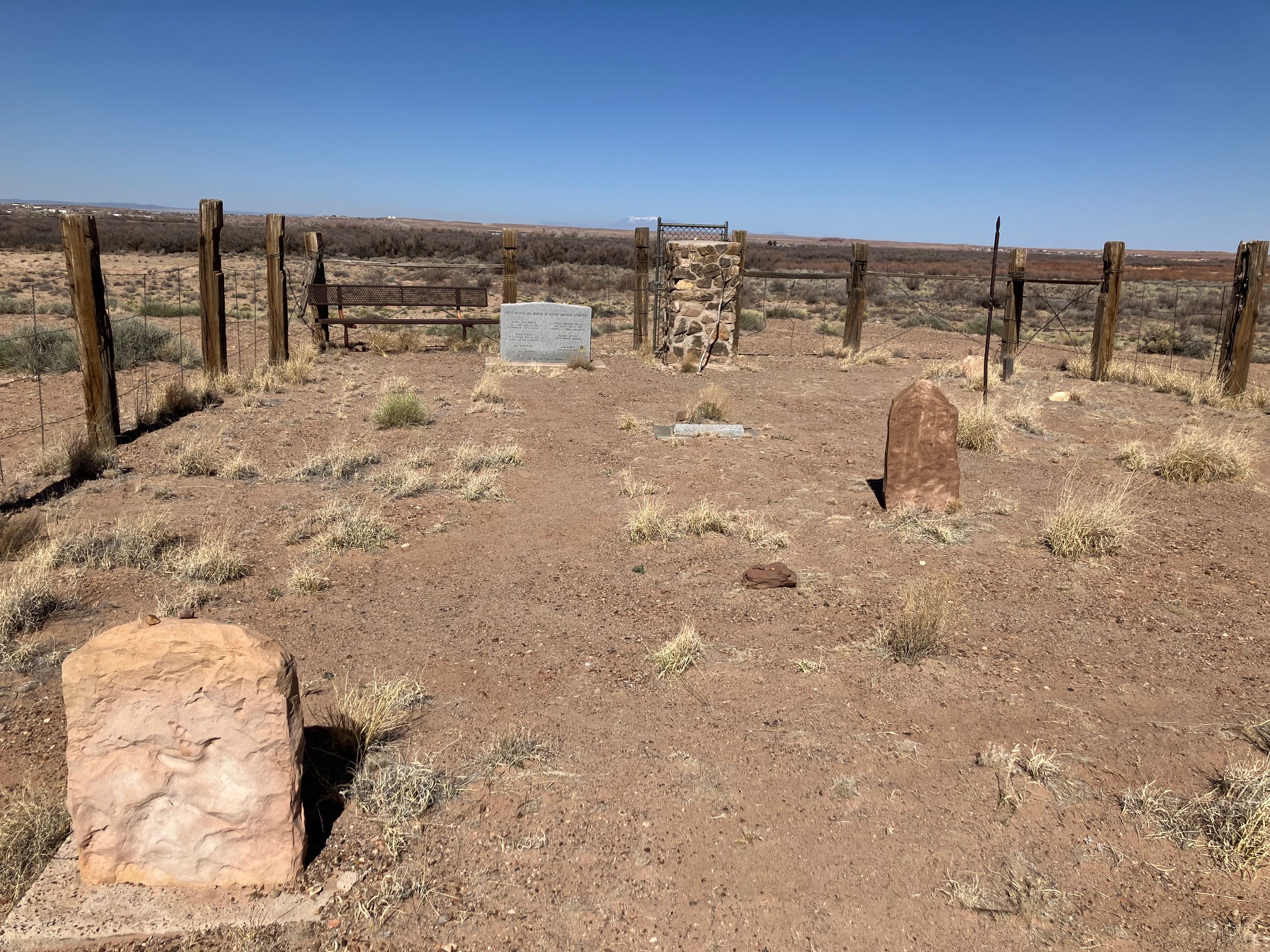
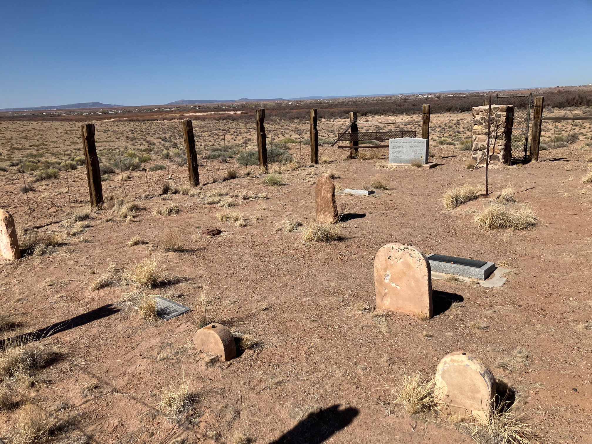
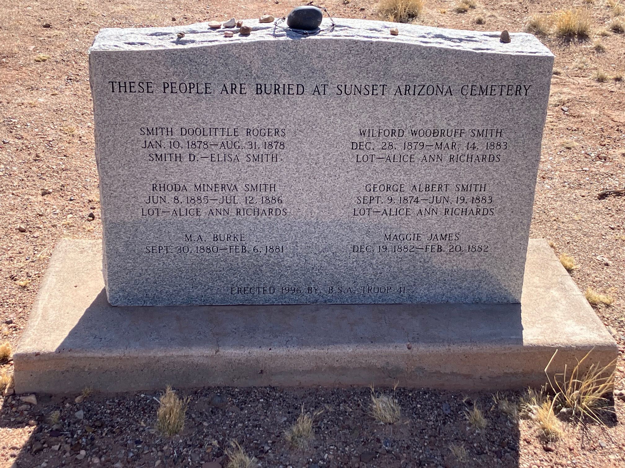
There is a cemetery from the 1800s where infants and children are buried, as evidenced
by the dates on the main tombstone.
 |
 |
 |
 |
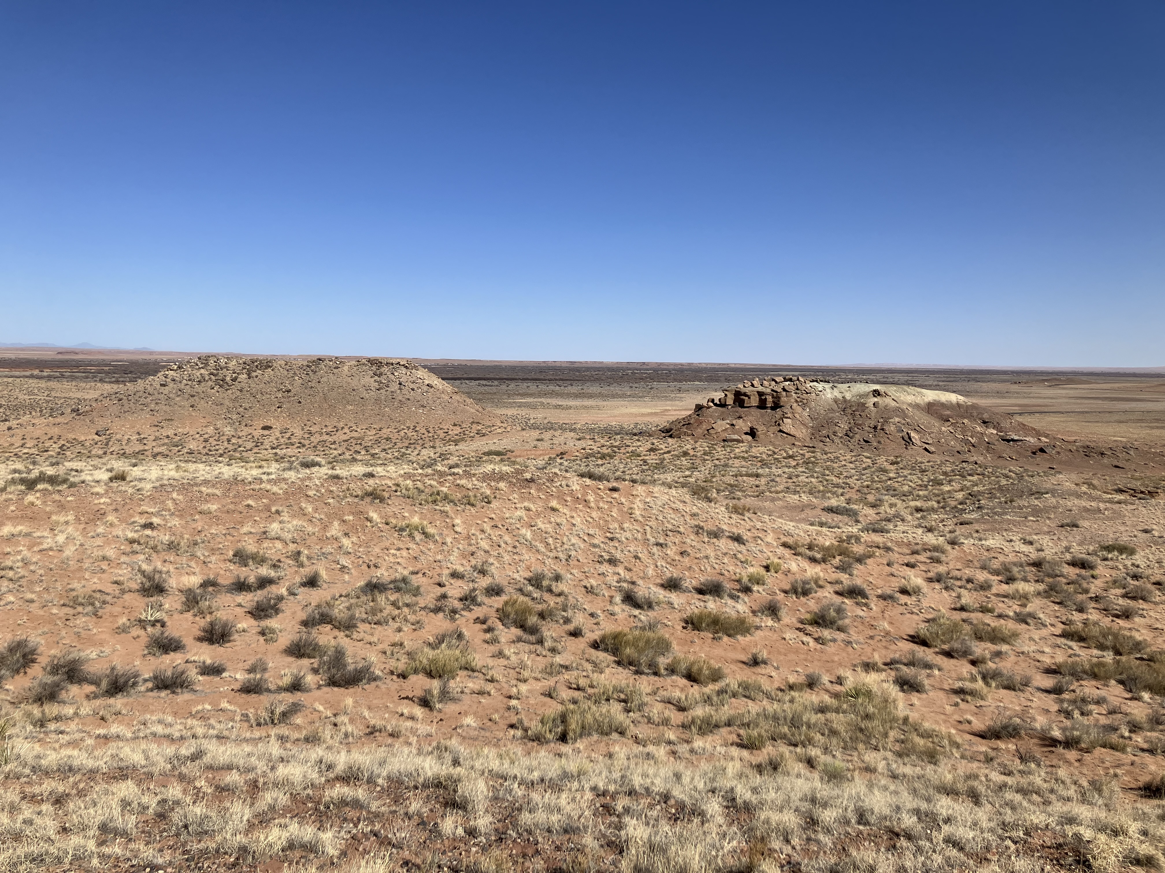
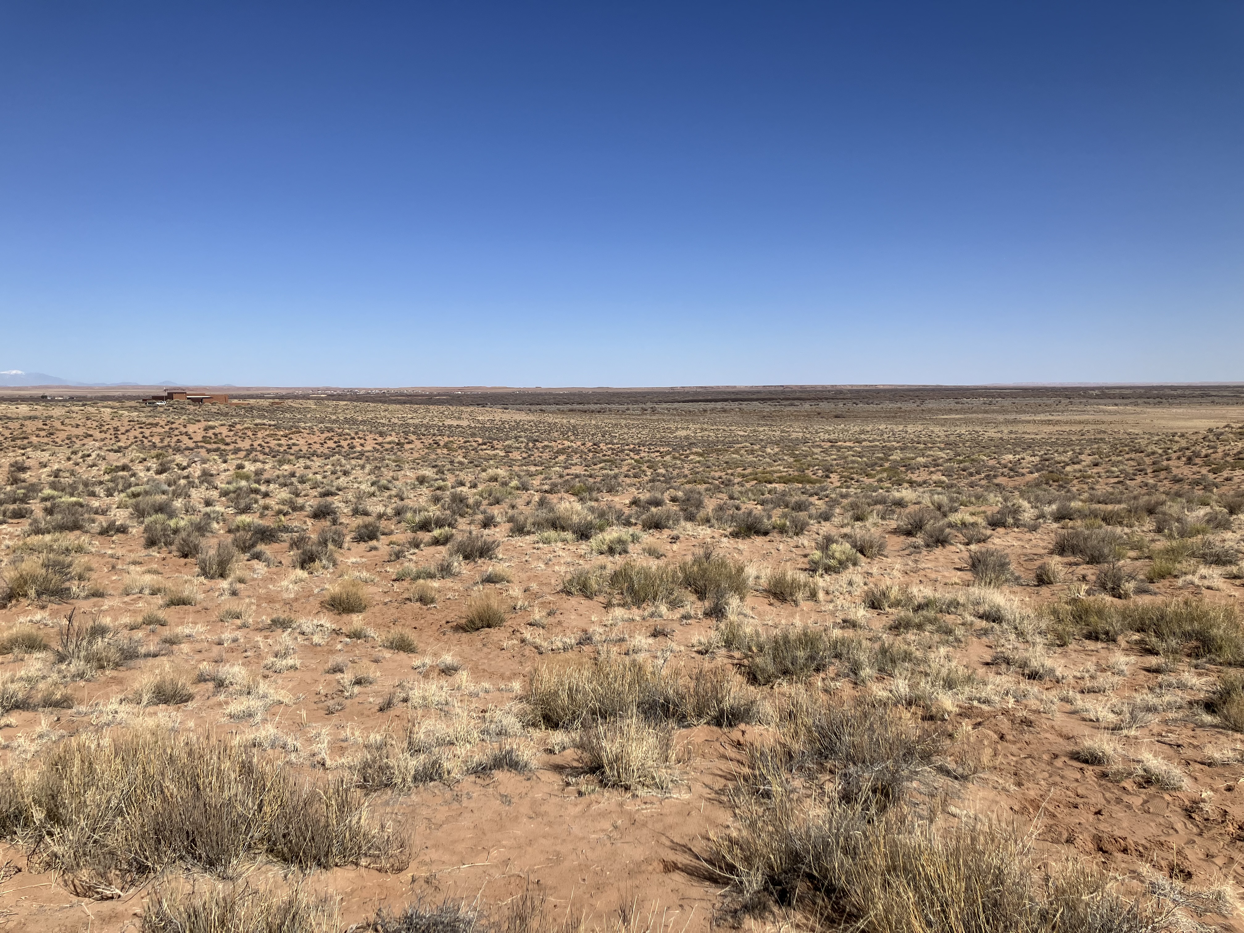
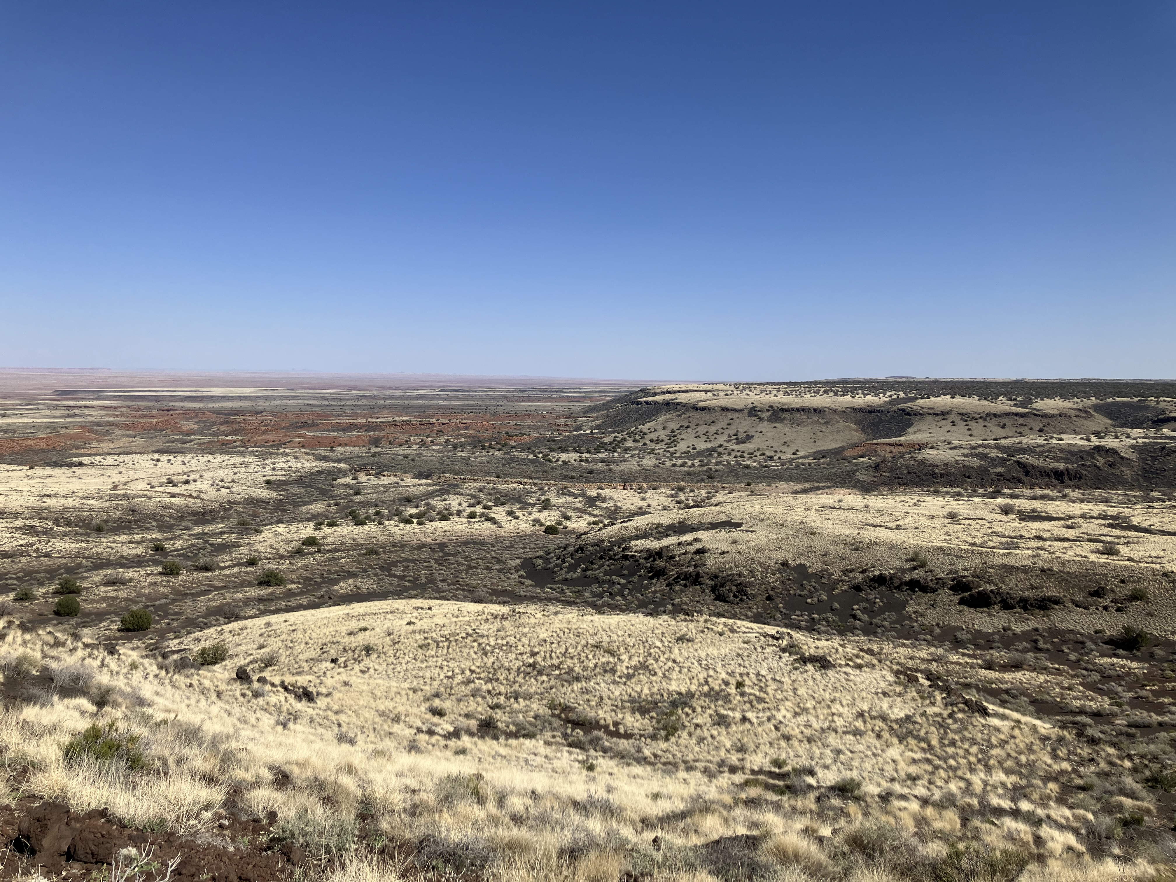
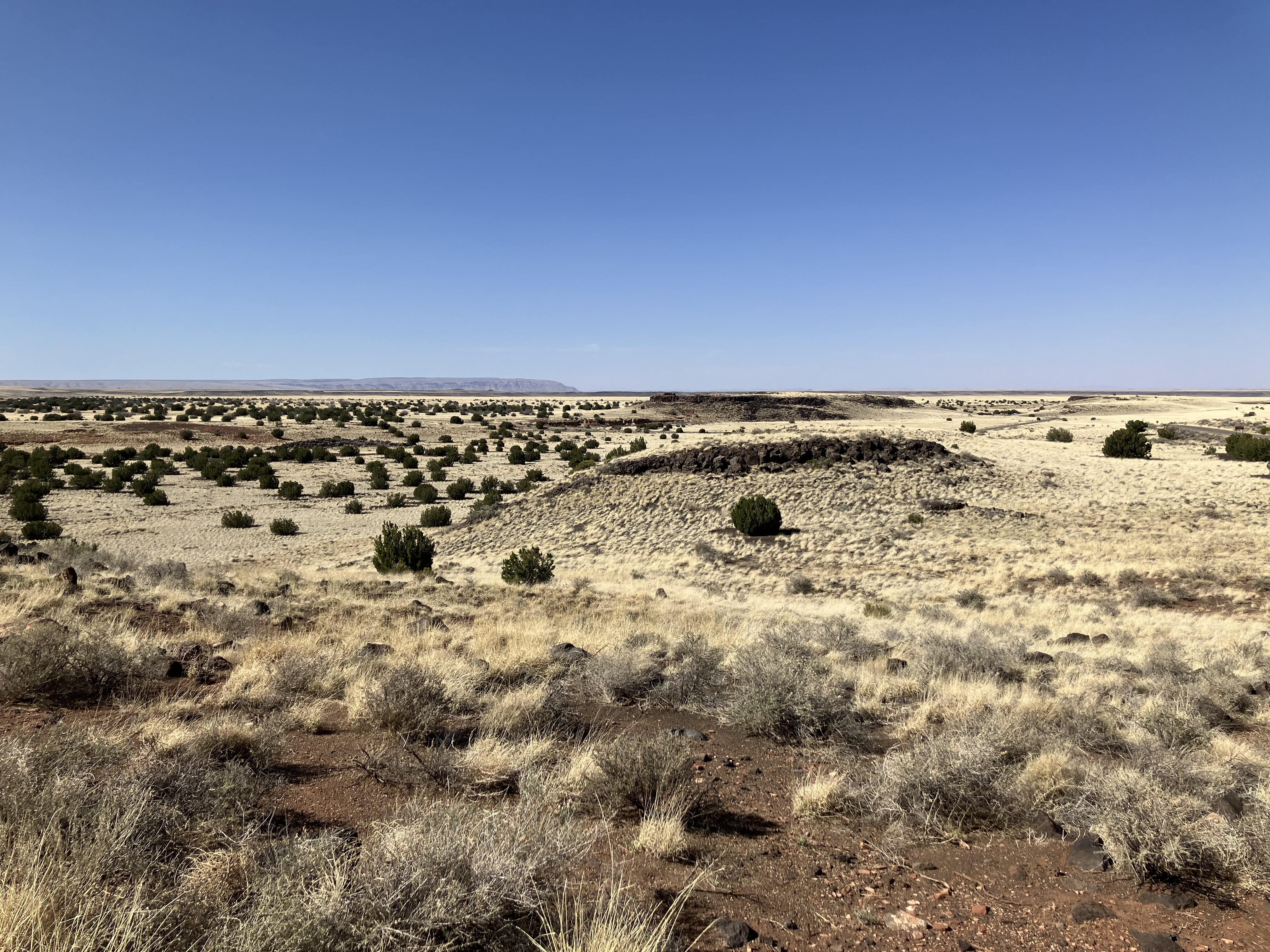
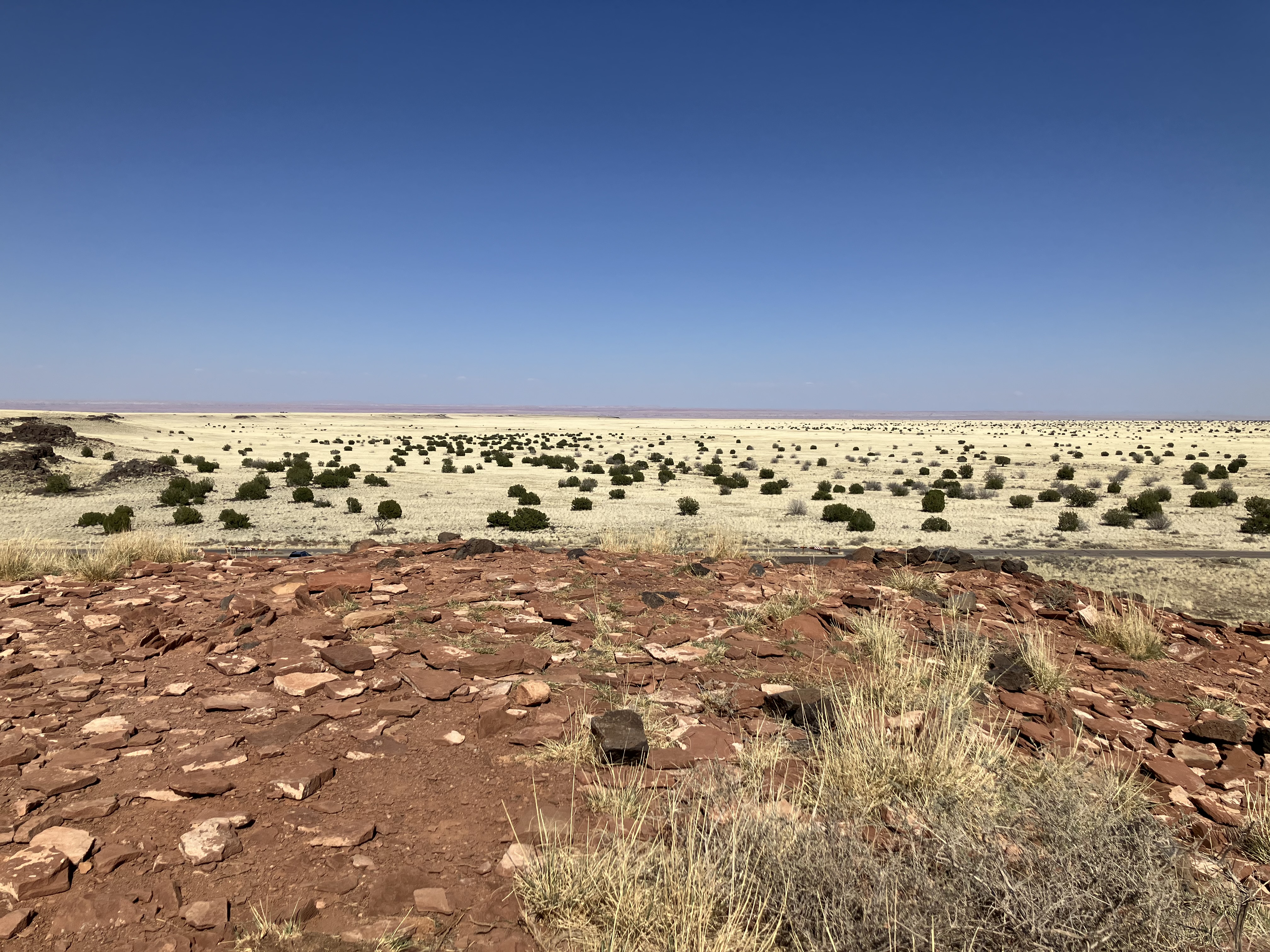
The area is a vast desert plain.
 |
 |
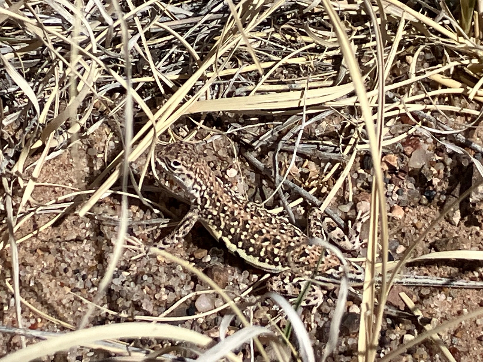
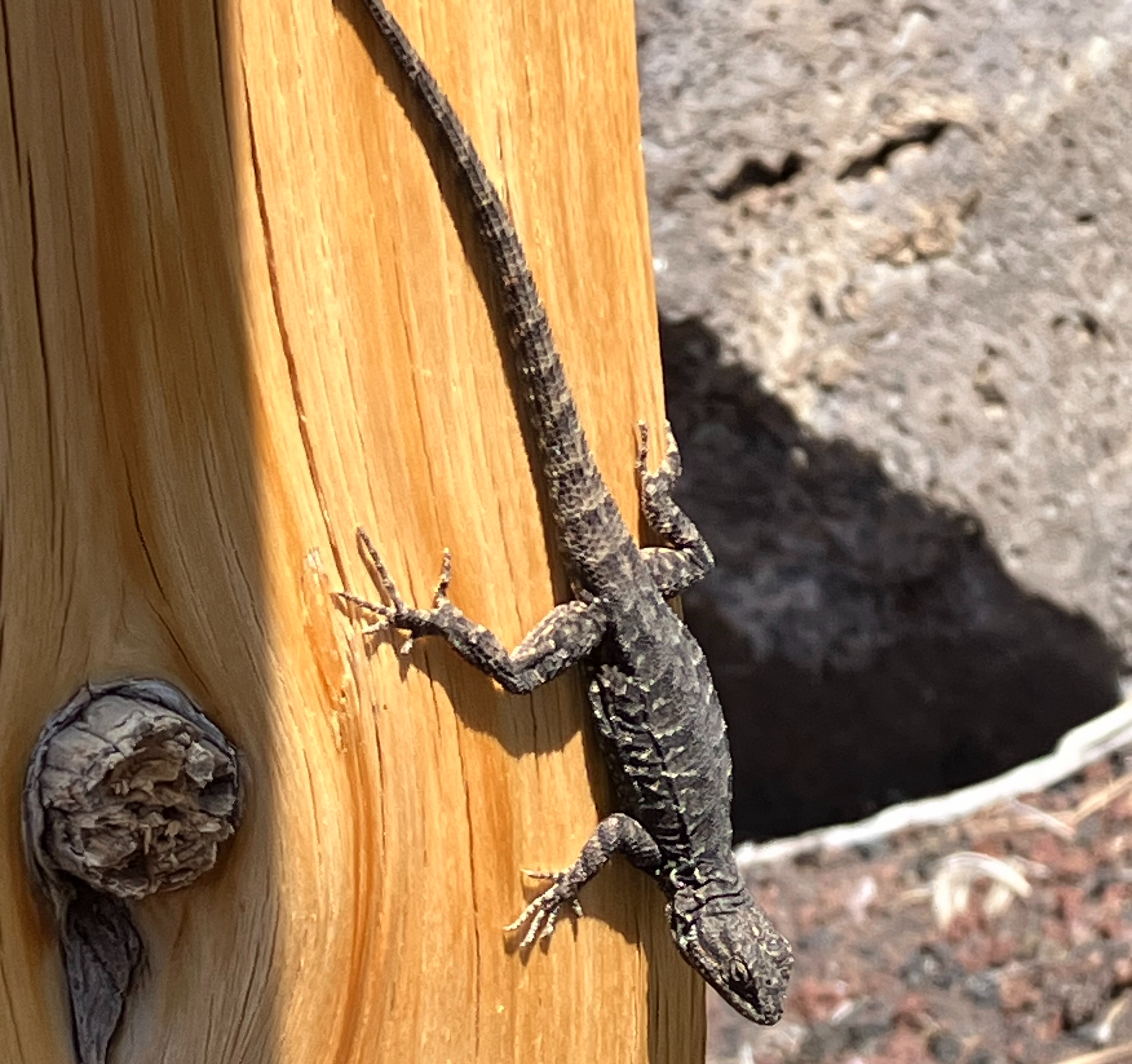
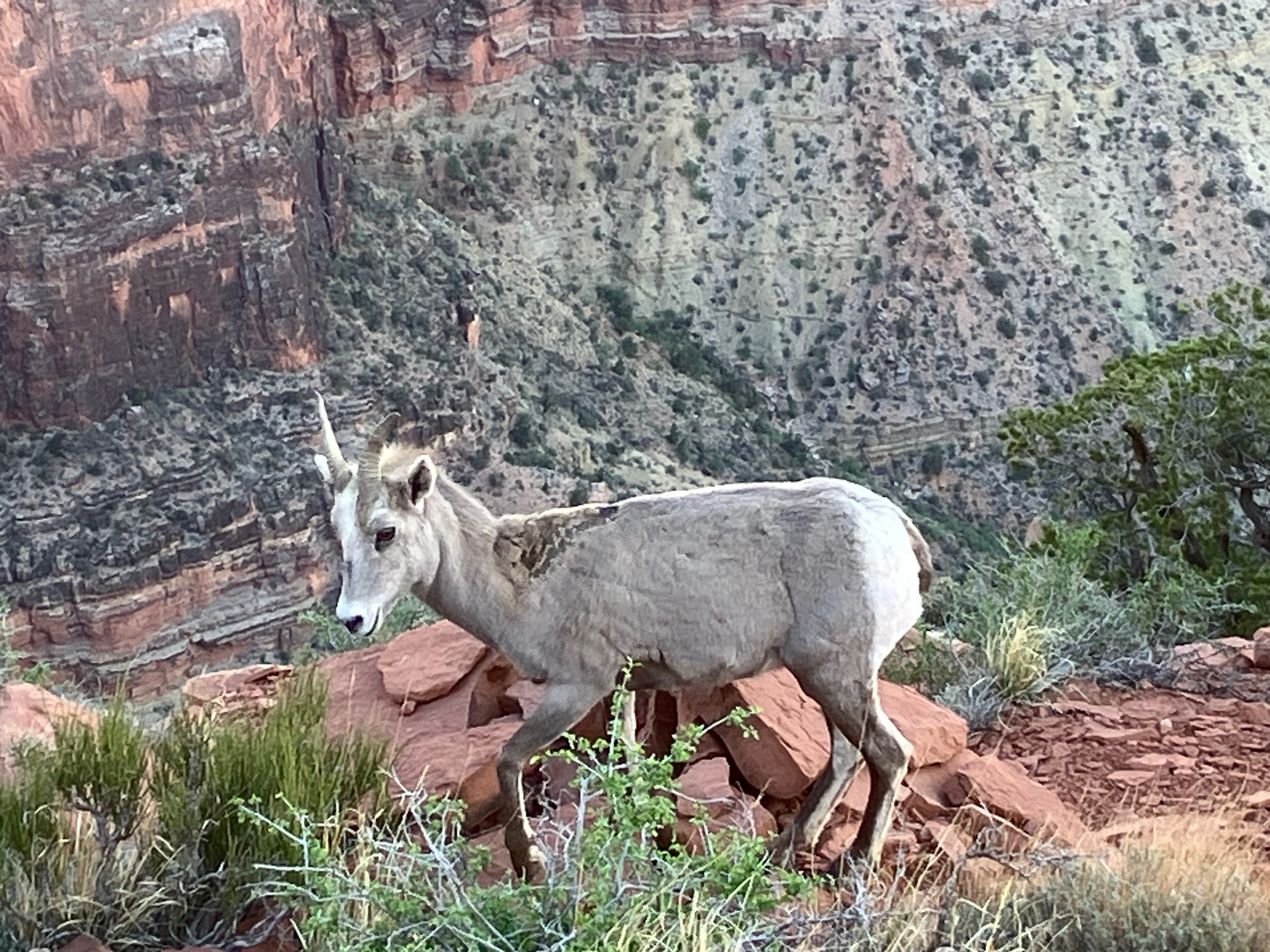
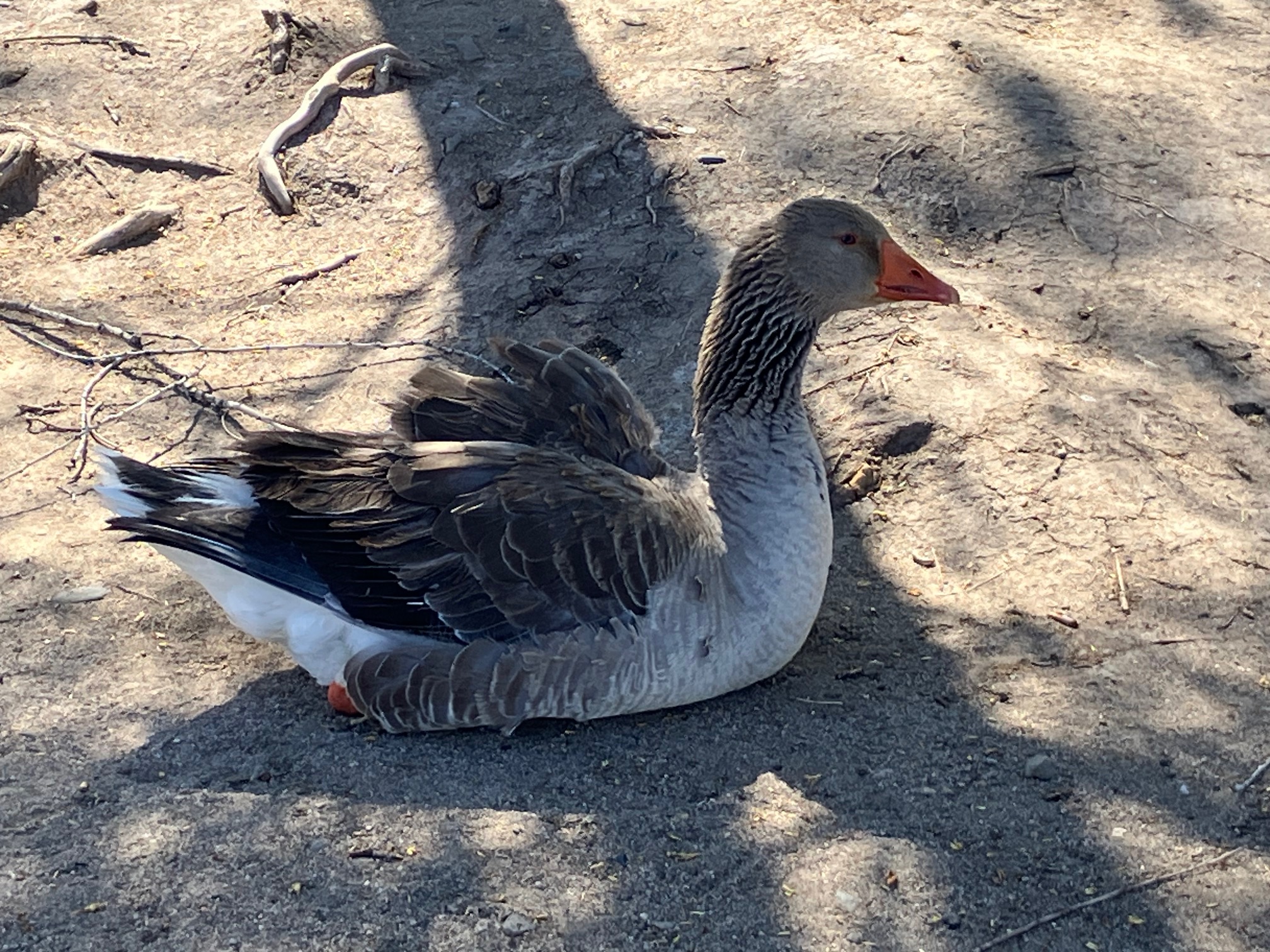
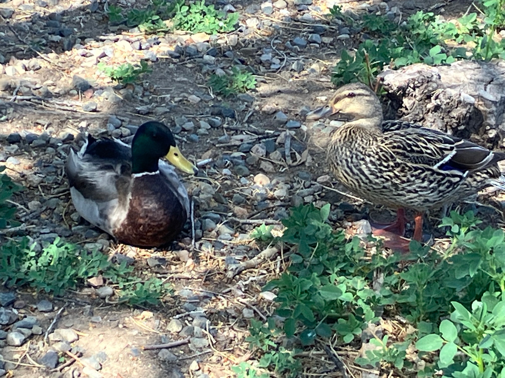
Ran into this little guy and he let me get close to snap a photo.
 |
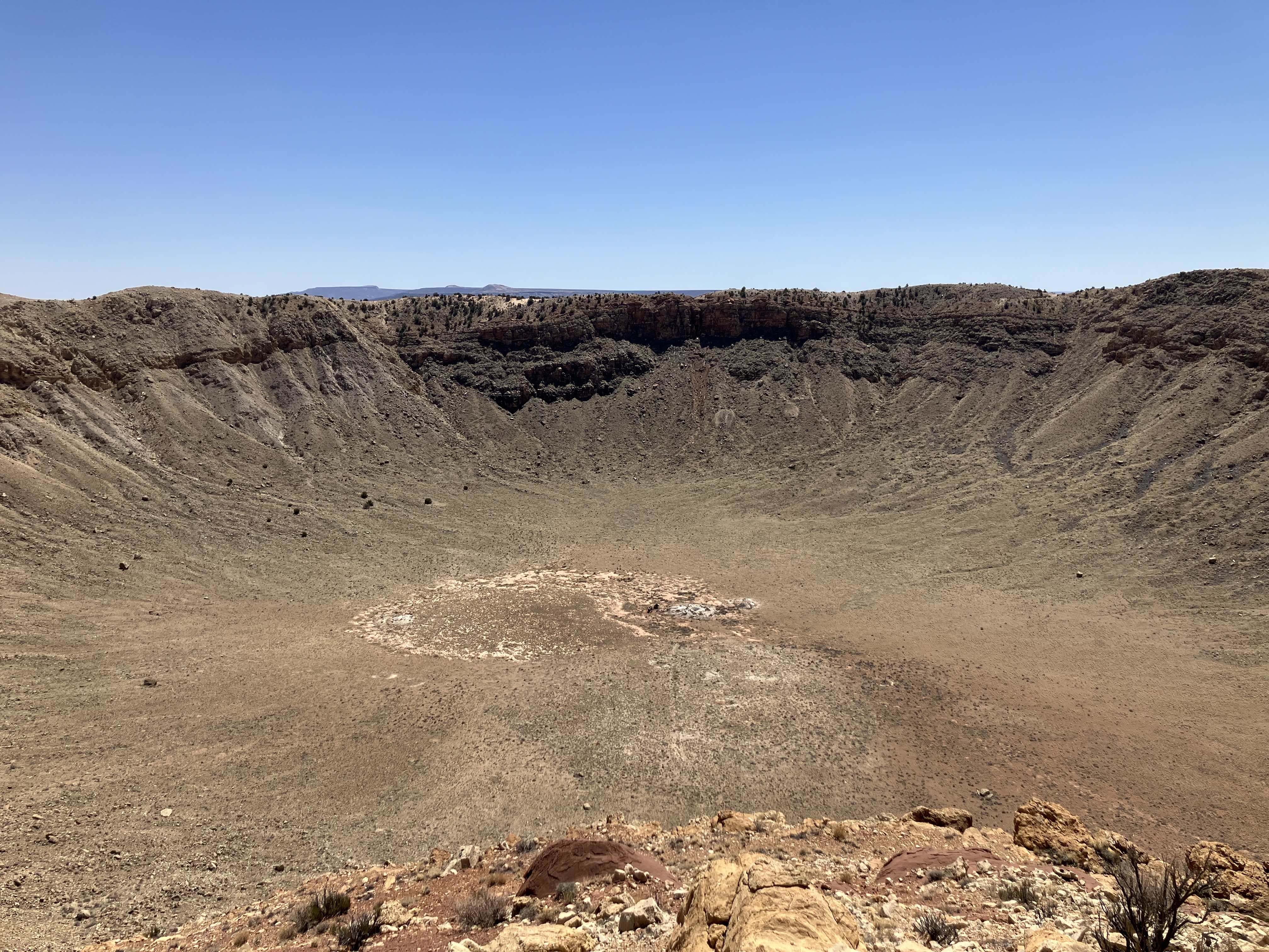
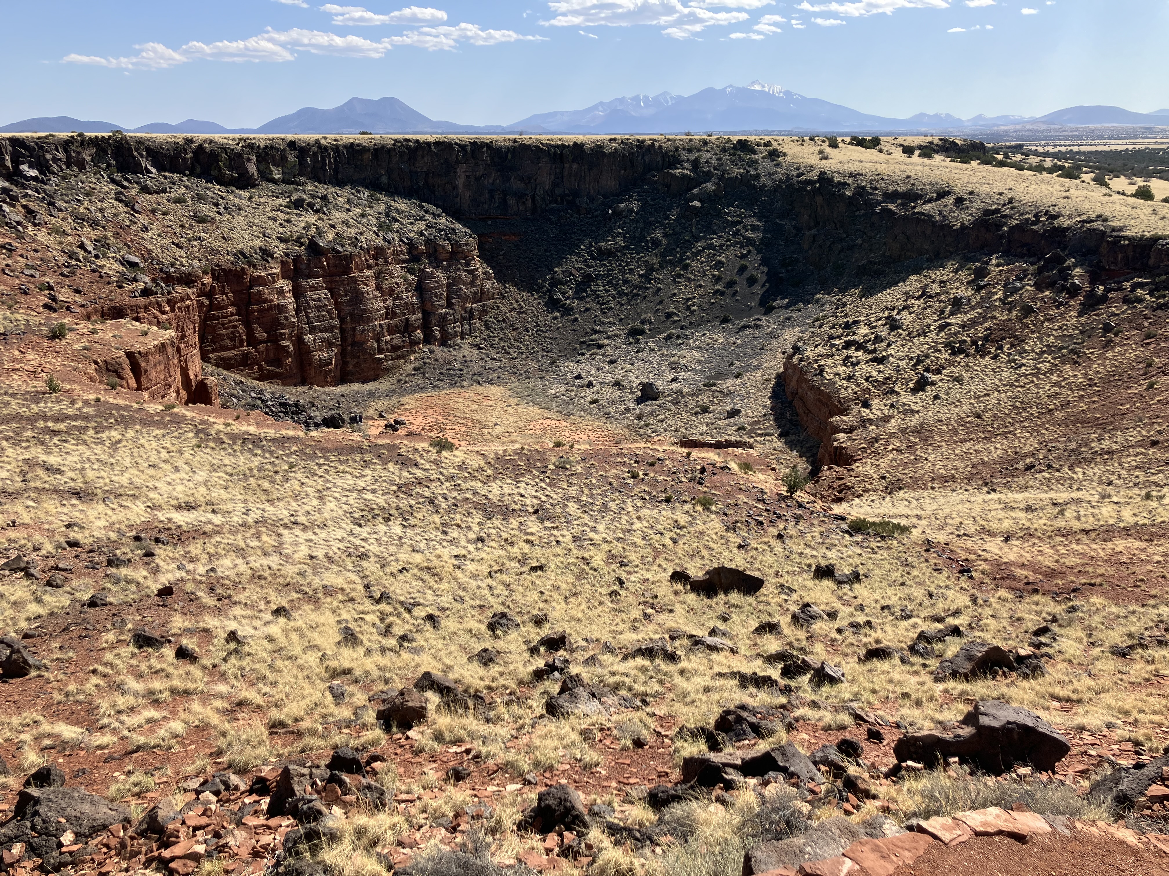
About 20 minutes west of Winslow is Meteor Crater,
also known as Barringer Crater because it's privately owned by the Barringer family. The best preserved meteorite
crater on Earth, it is about a mile in diameter. In addition to the crater there is a museum,
a guided tour, and some short videos, including a
4D movie experience.
I did the 4D movie and the hour-long guided tour.
My iPhone couldn't fit the entire crater in but here is the photo I took:
 |
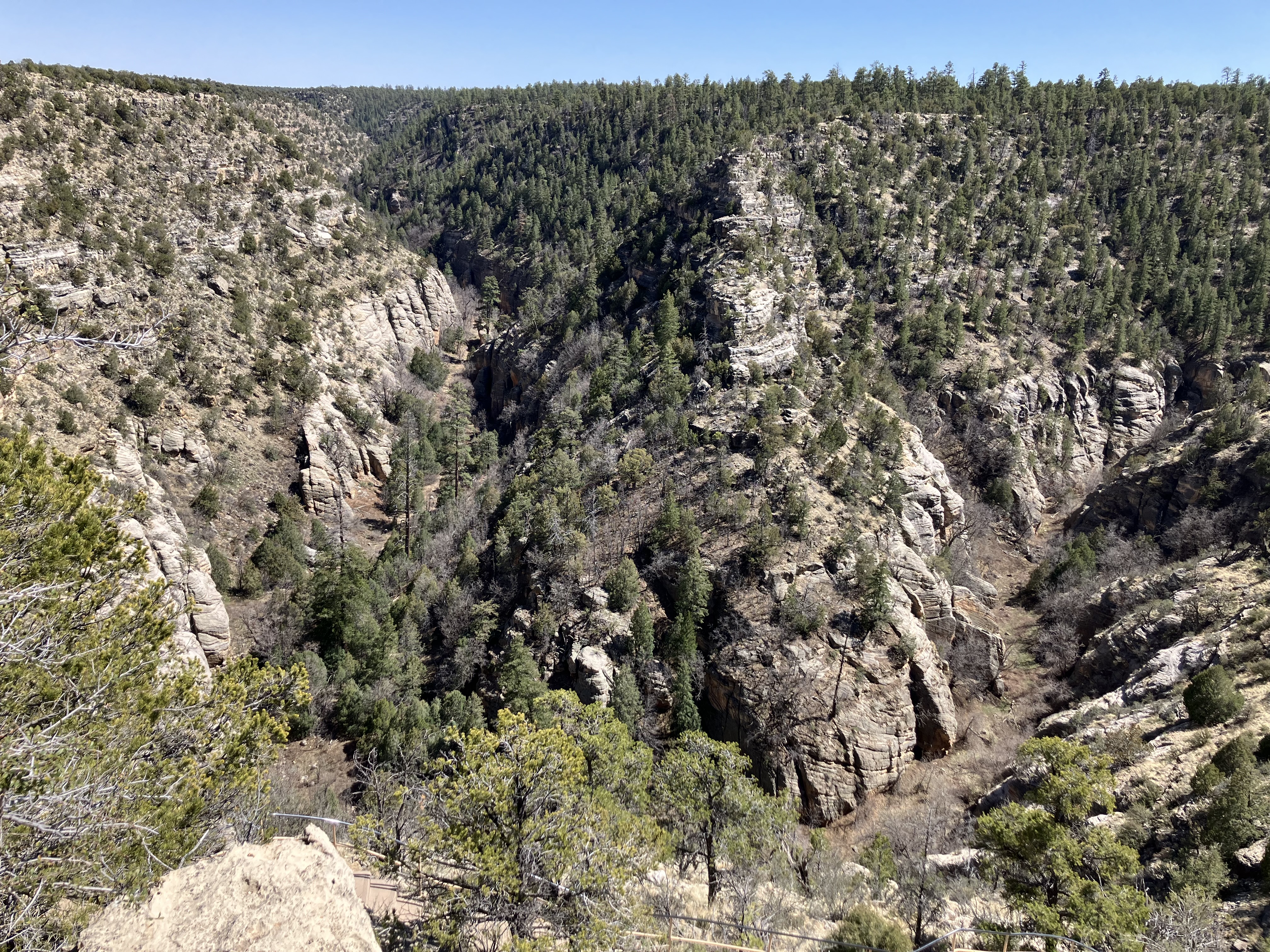
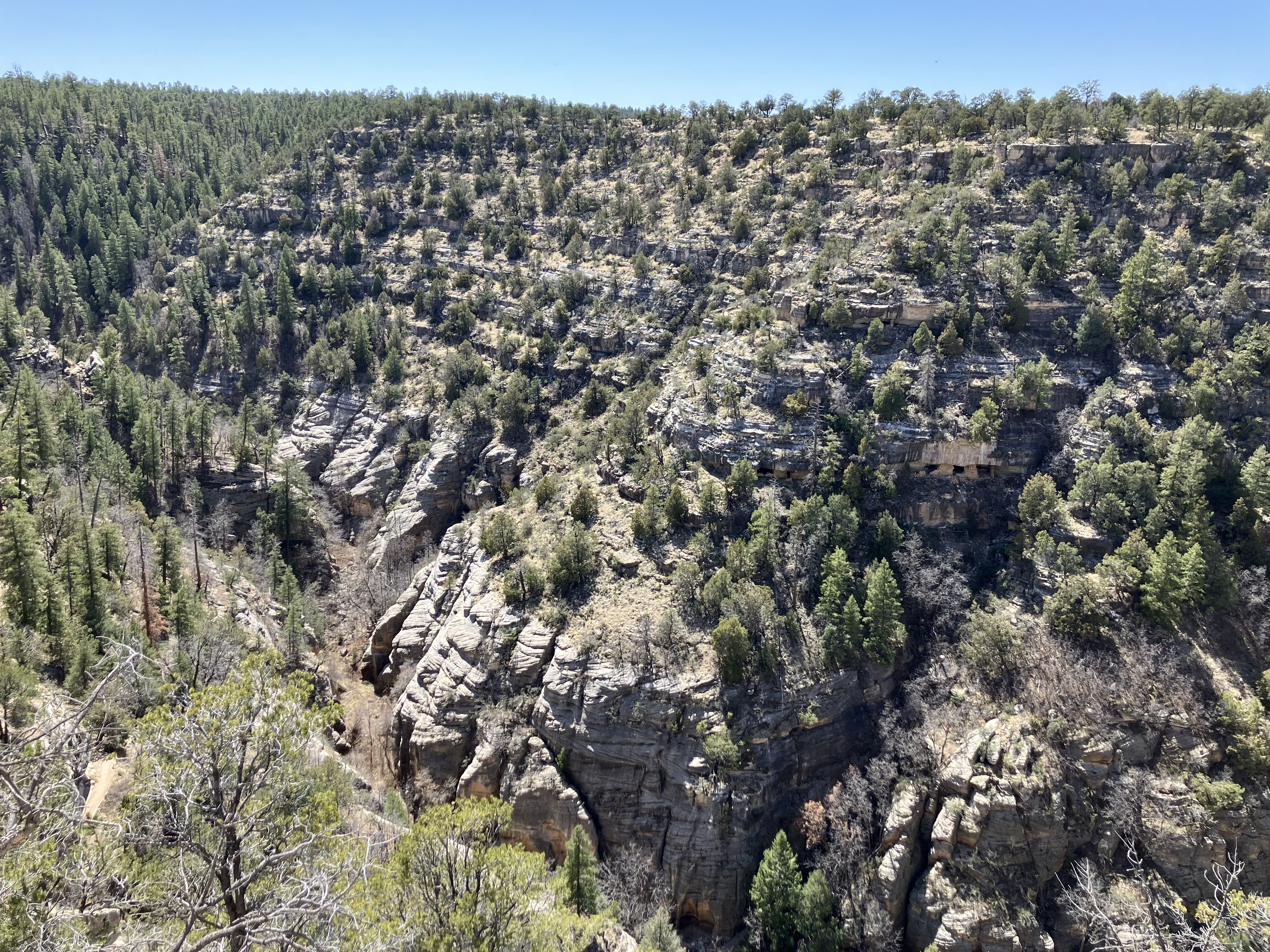
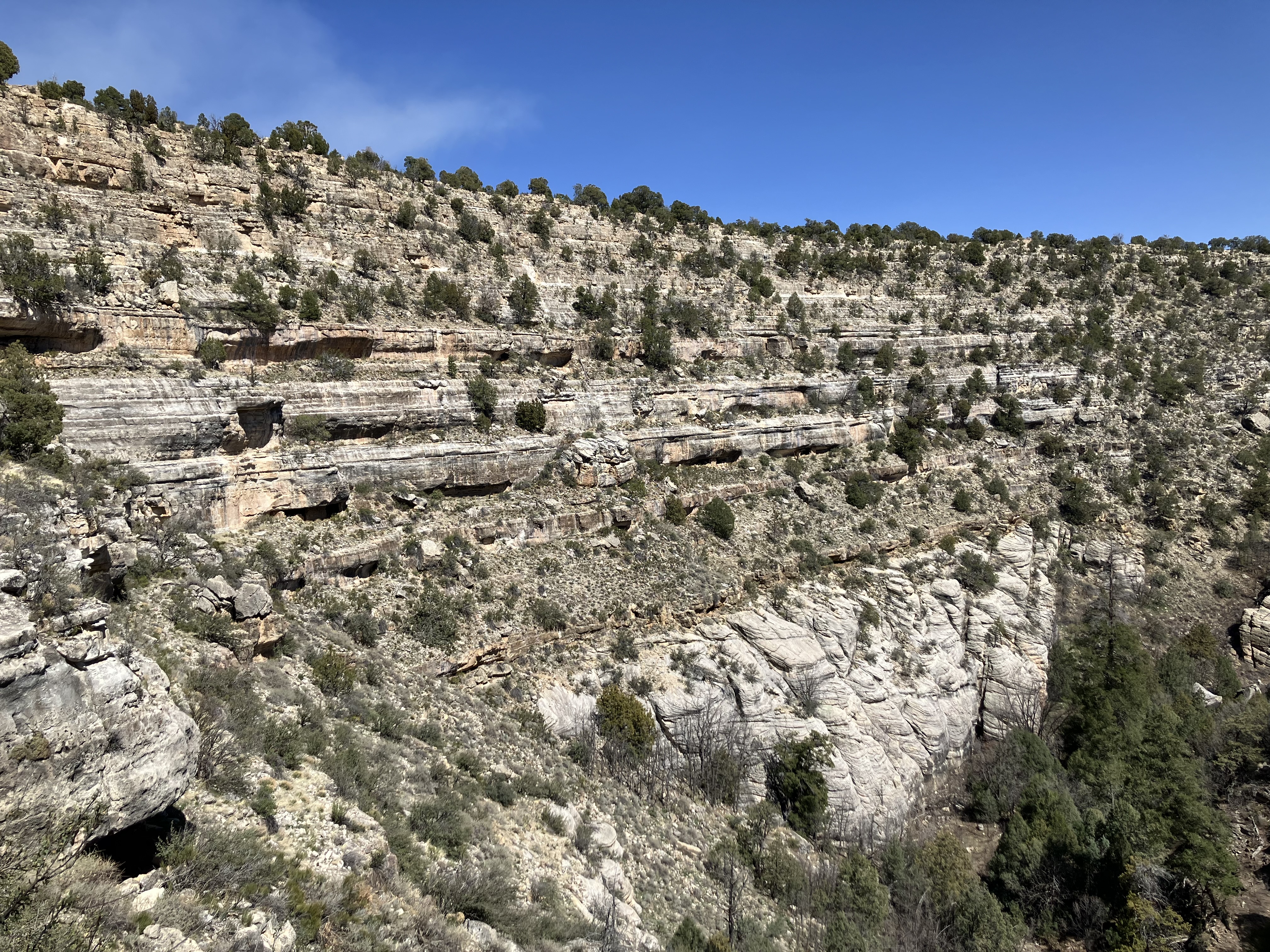
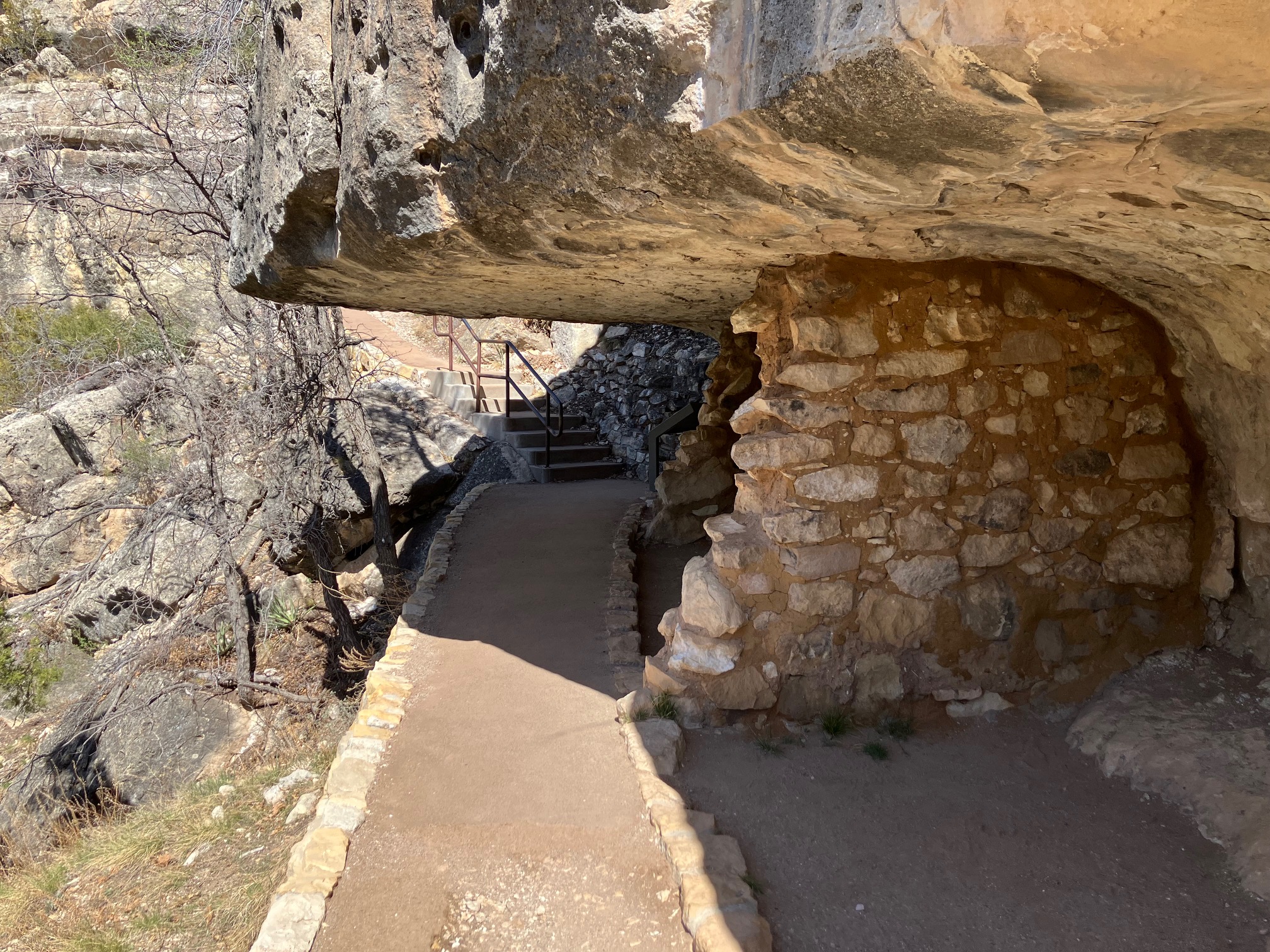
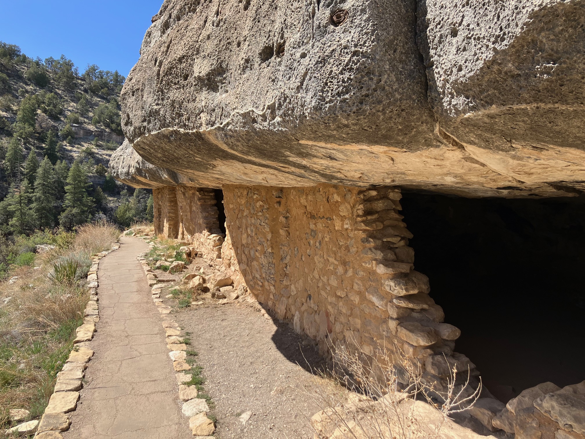
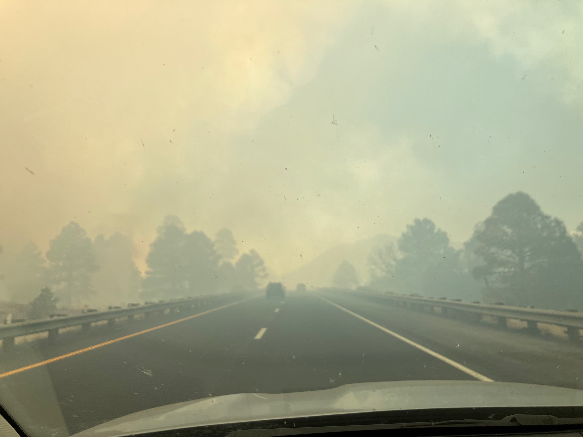
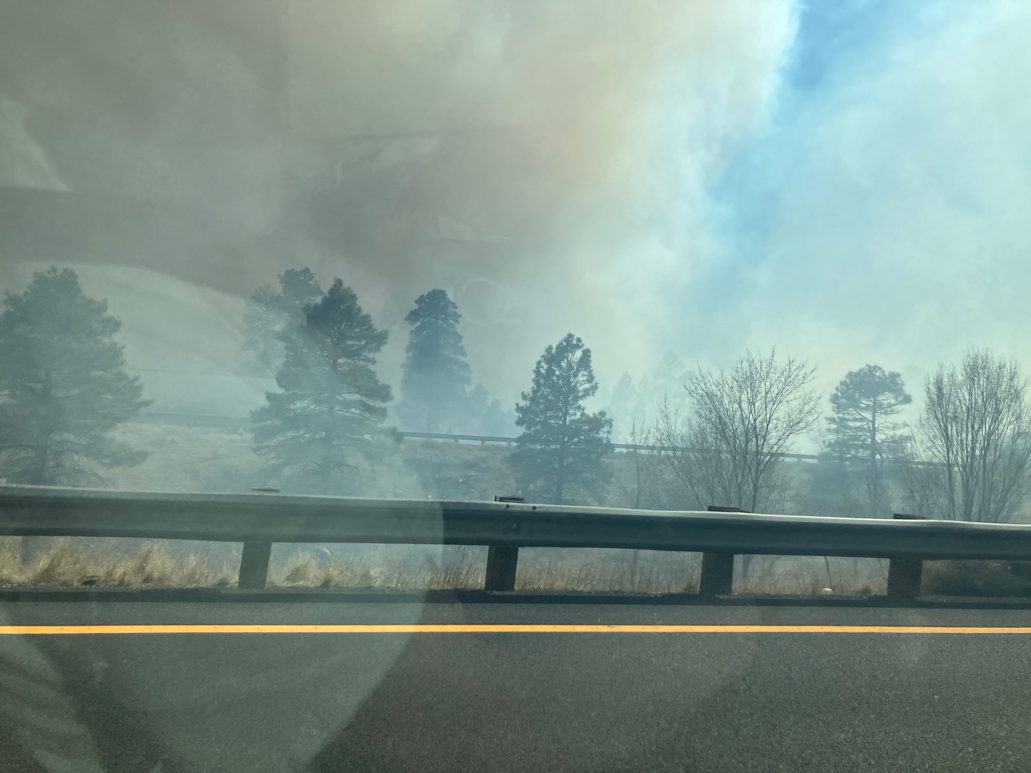
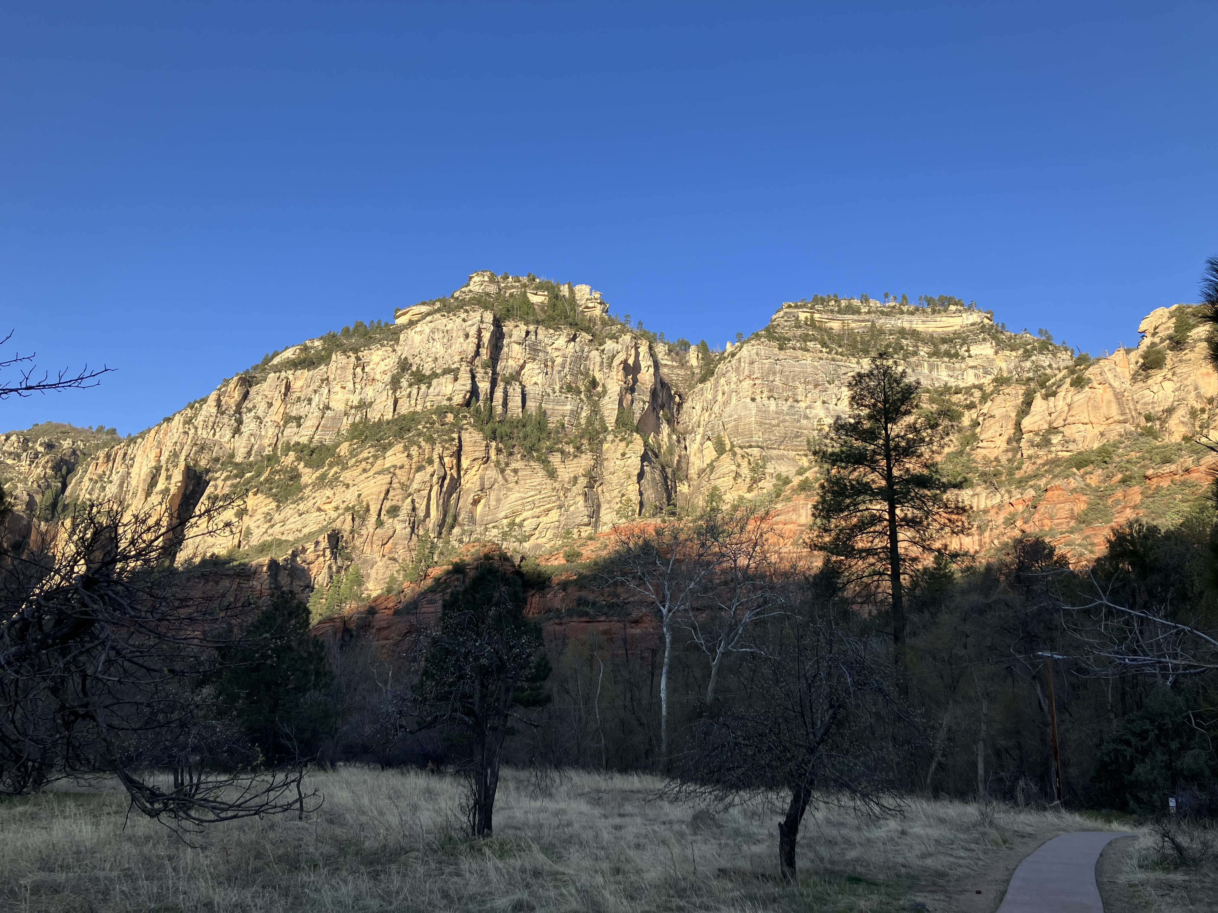
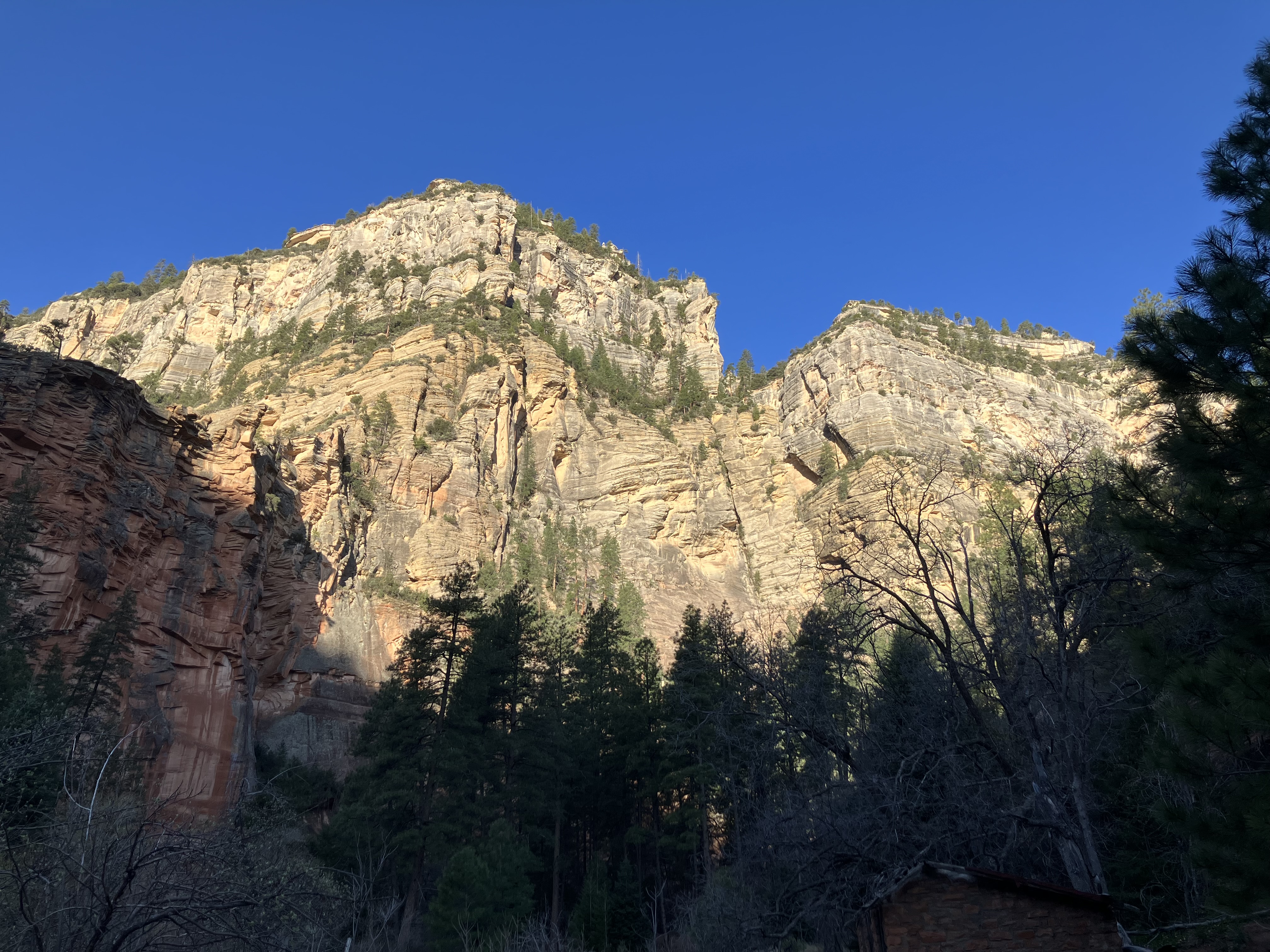
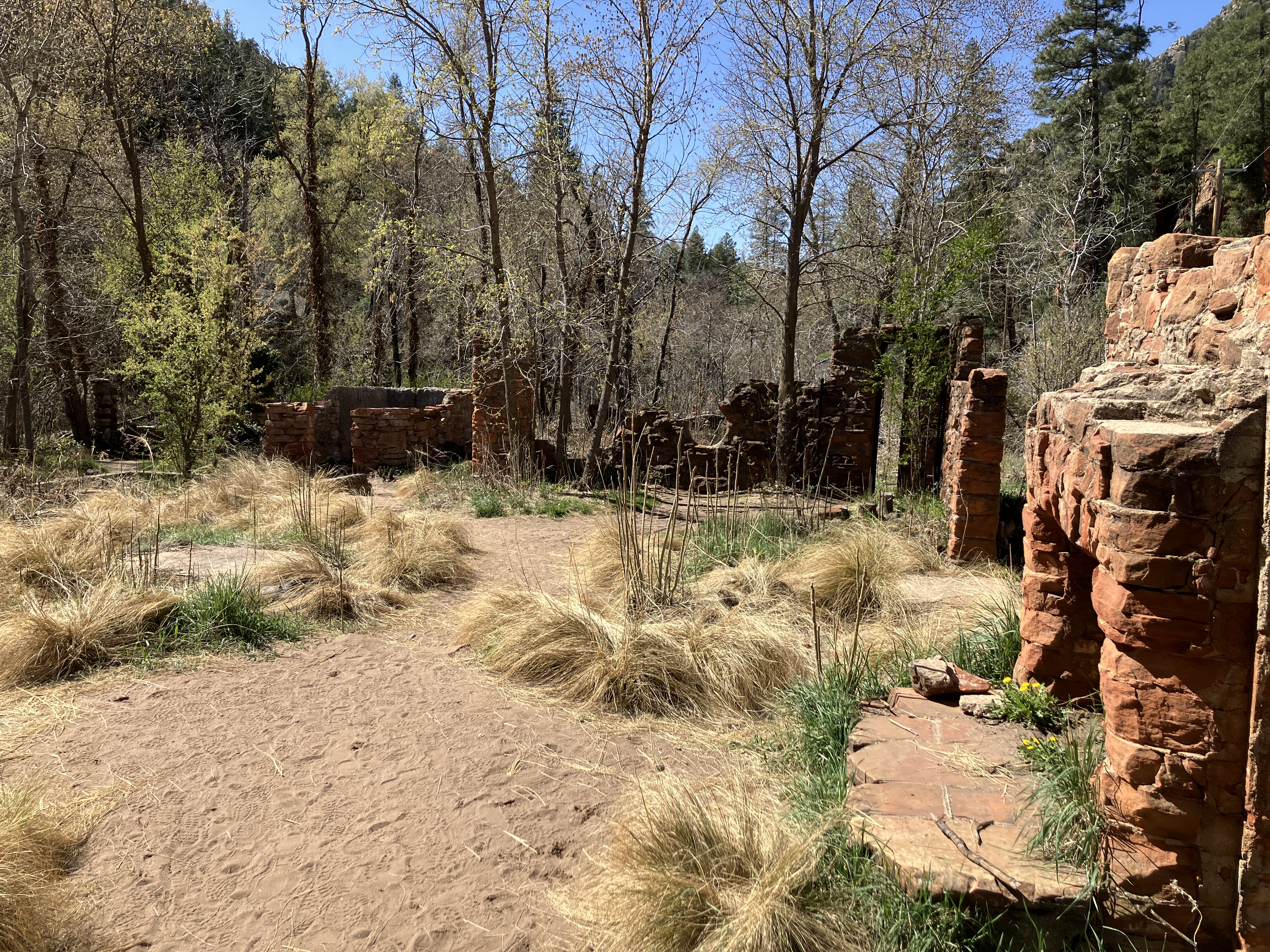
A little over half an hour west of there is
Walnut Canyon National Monument. There was a lot of smoke in the vicinity. It turns out
that they were doing a prescribed burn to reduce wildfire hazards. They'd closed the road, so
I was directed to go back
to the previous exit and enter via a dirt road. I arrived at 2:00 and hiked for almost
an hour.
 |
 |
 |
 |
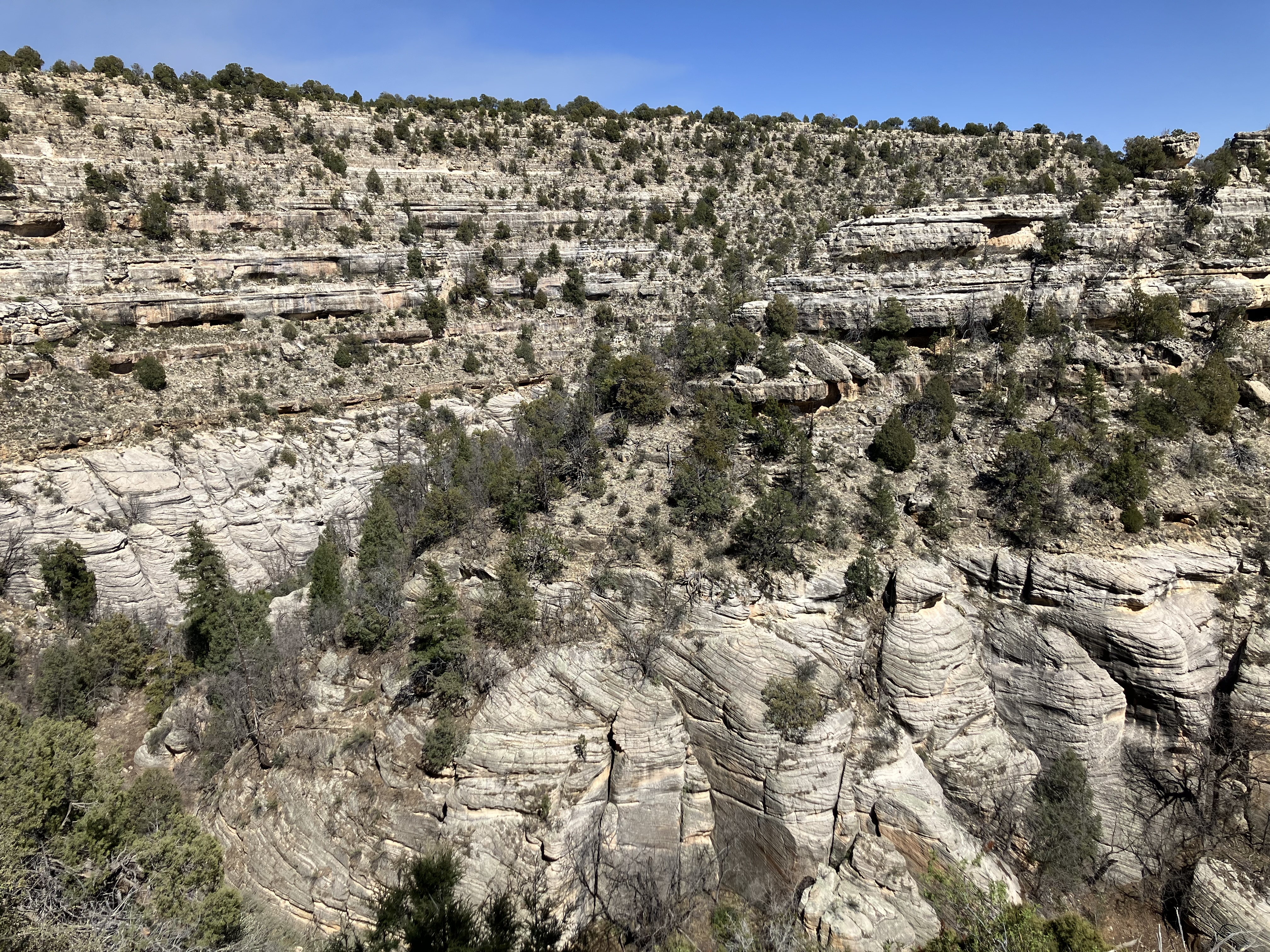 |
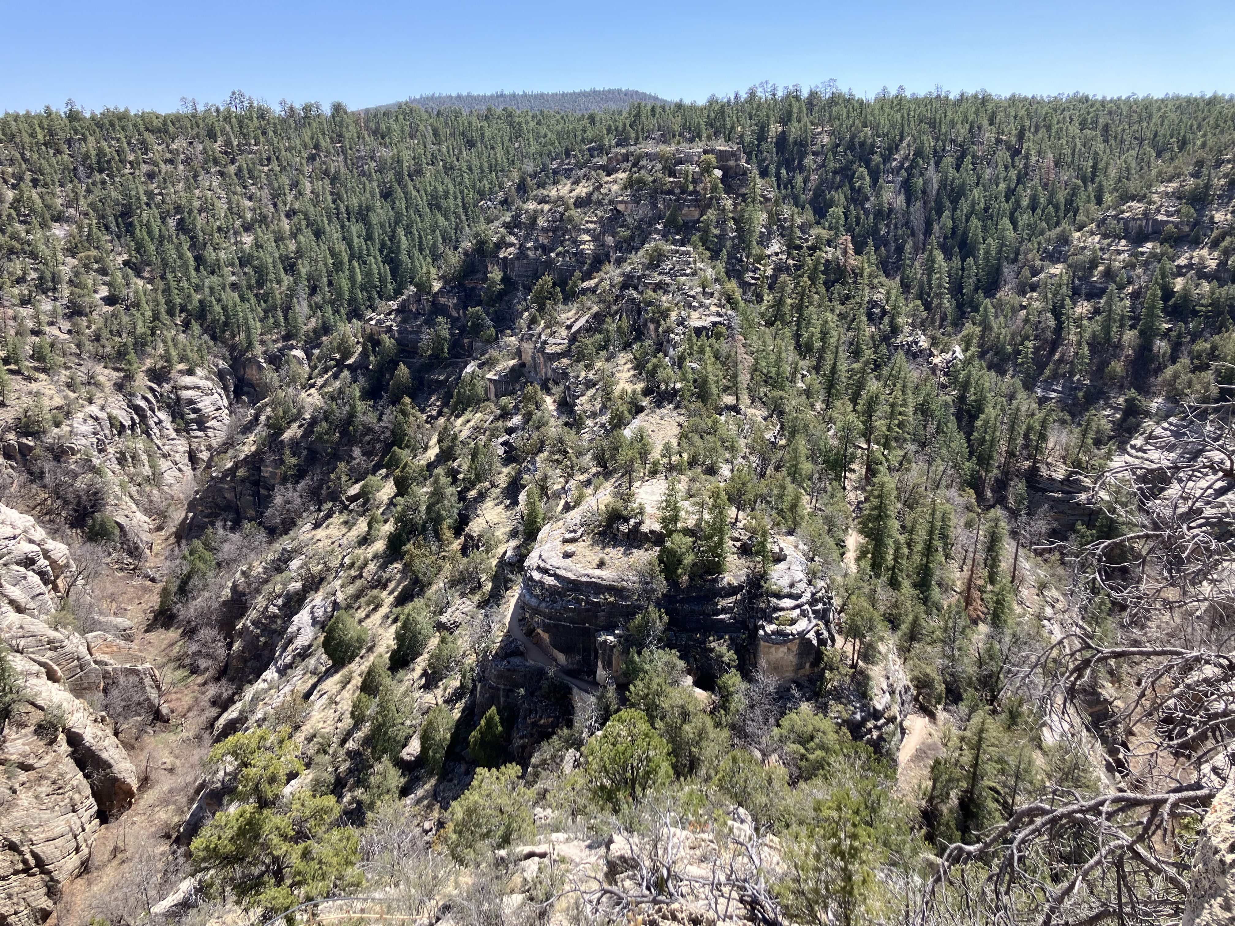
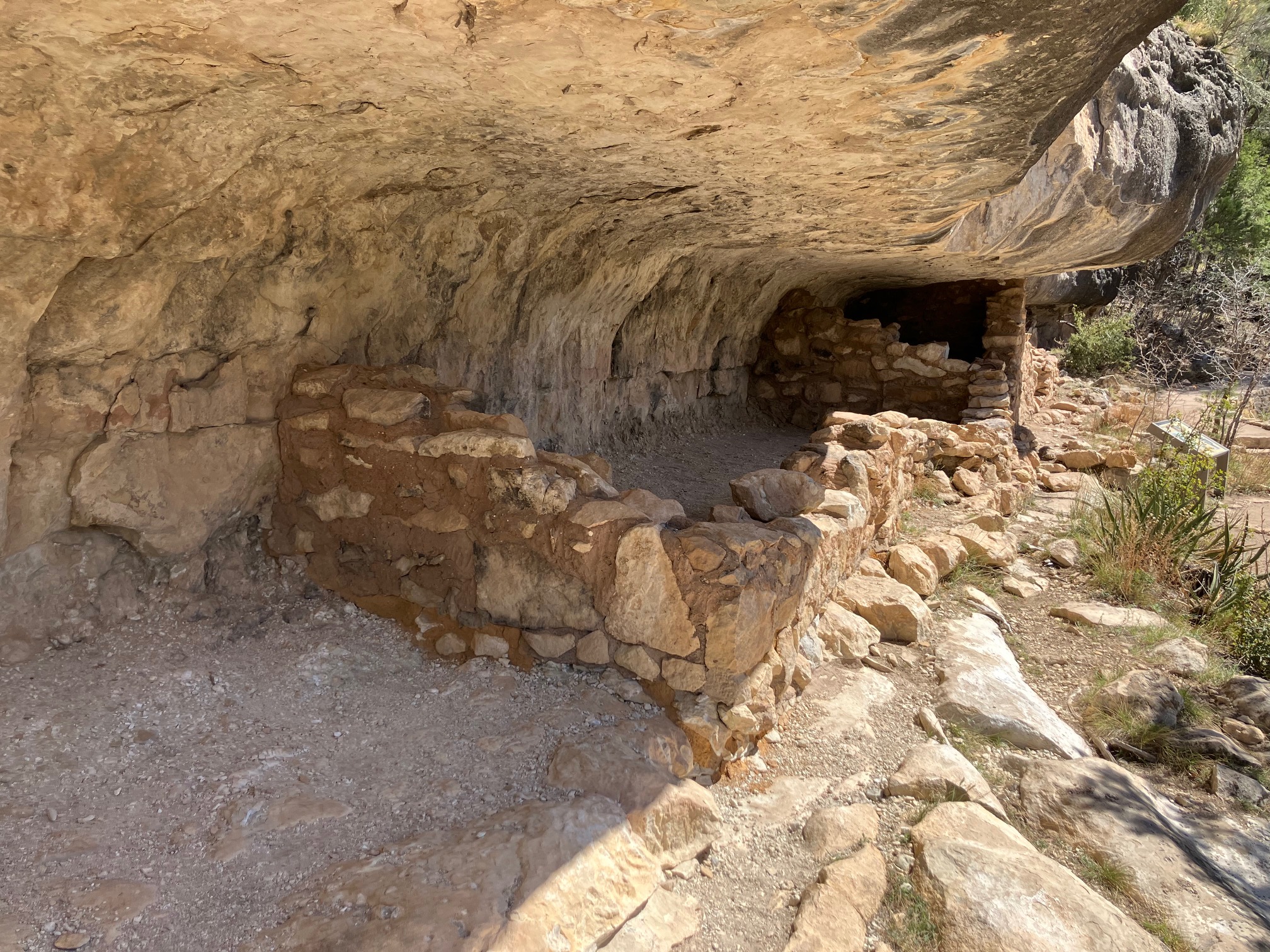
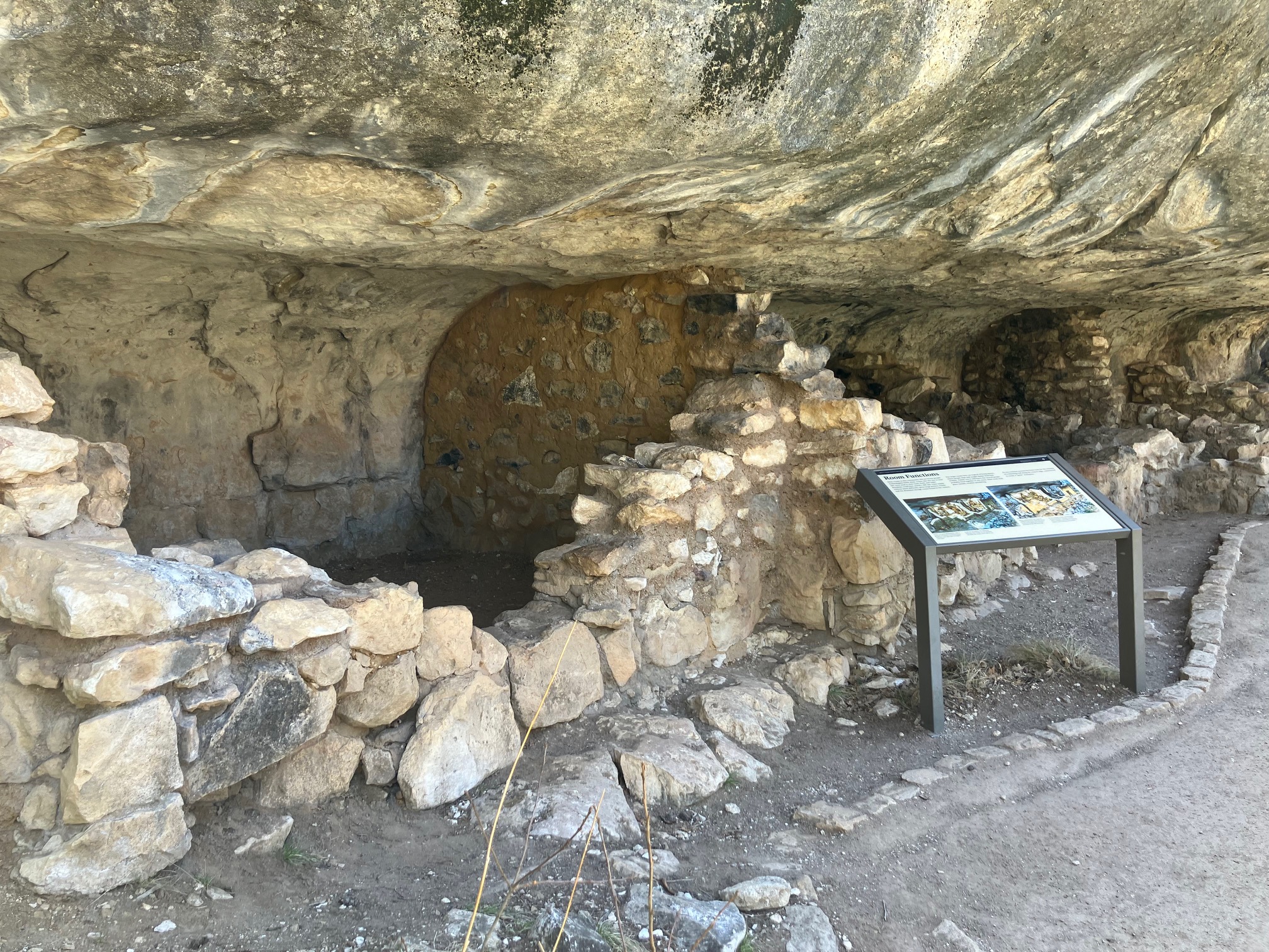
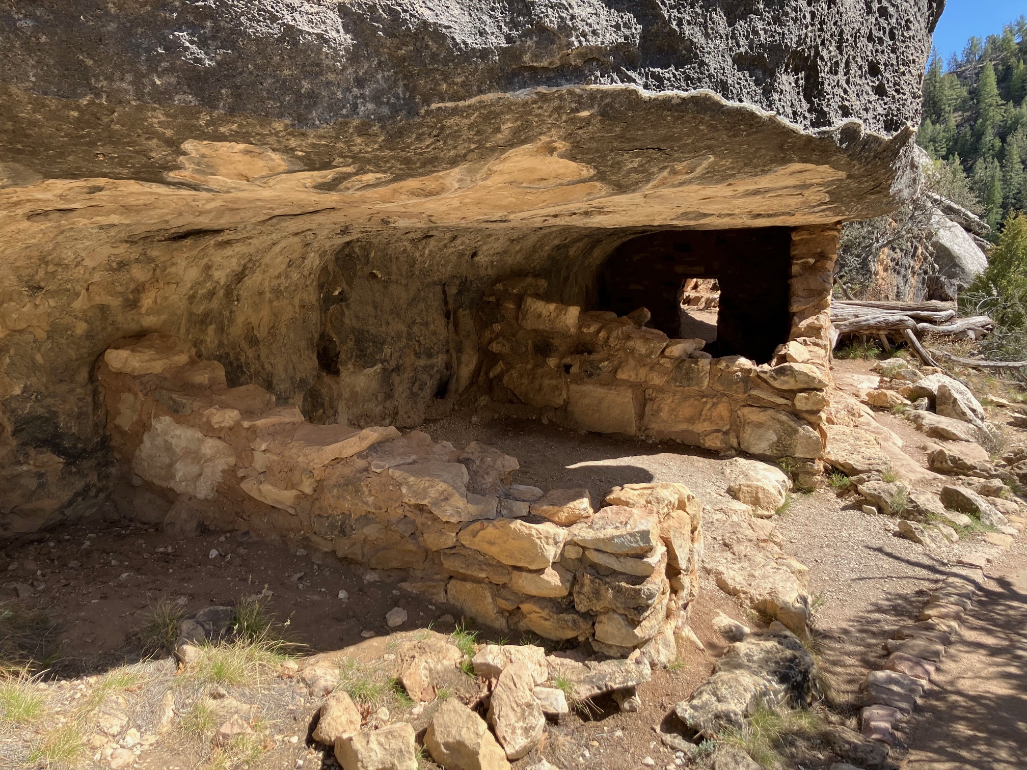
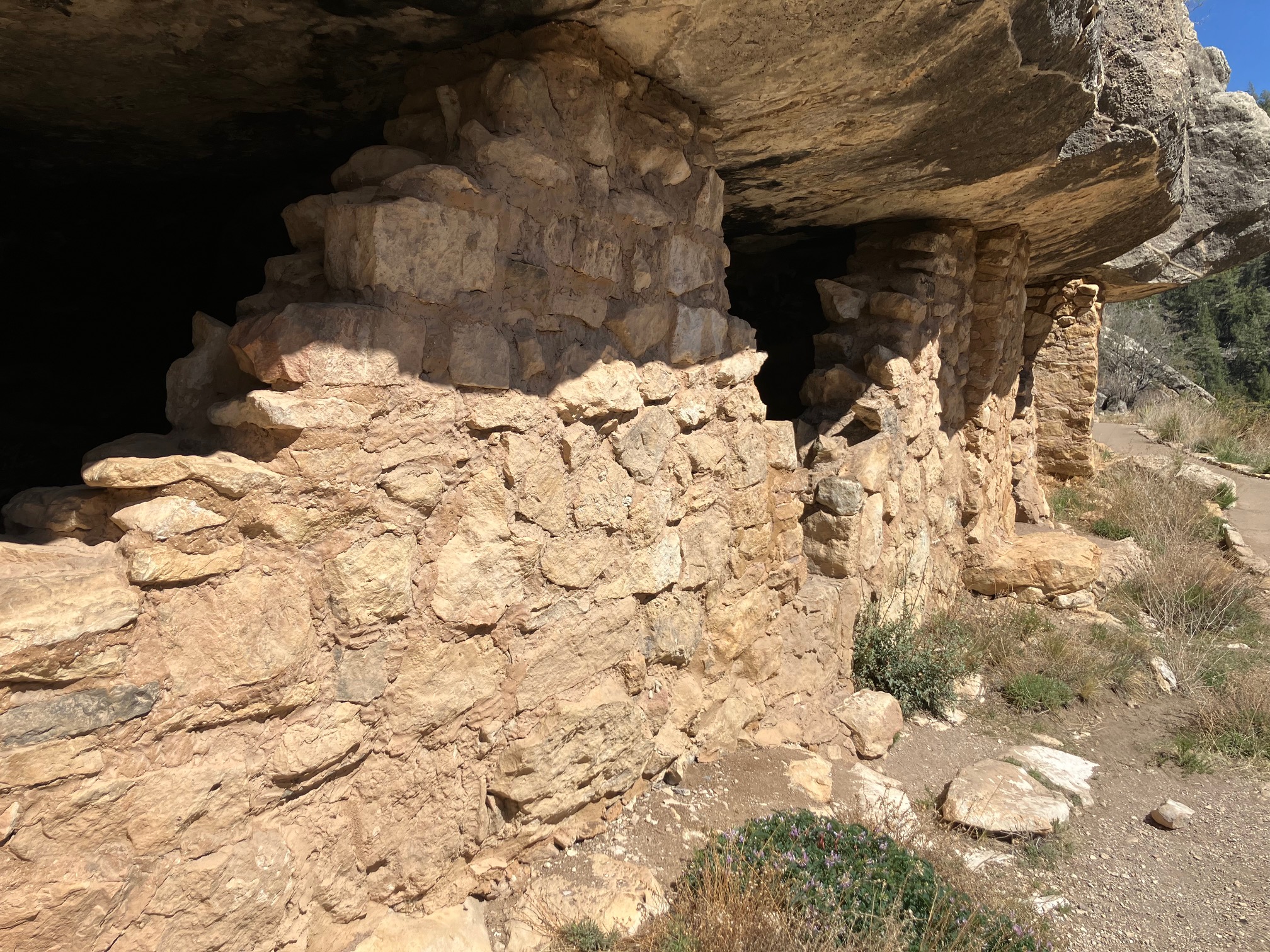
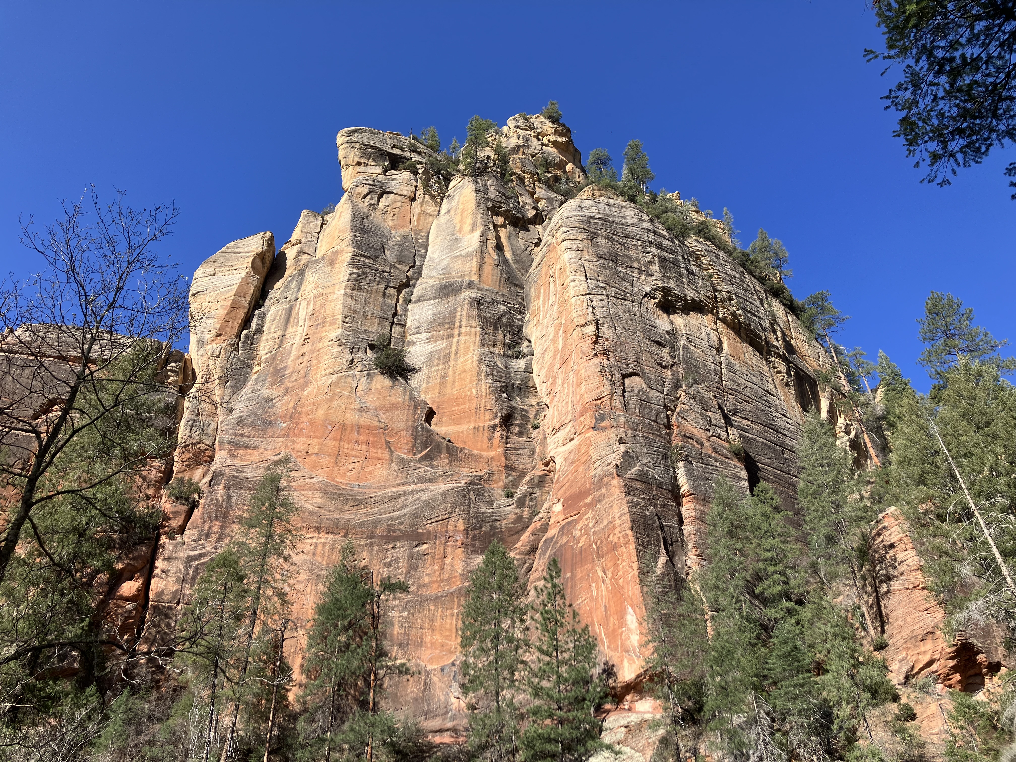
There are many cliff dwelling ruins, formerly inhabited for thousands of years by
various cultures.
 |
 |
 |
 |
 |
 |
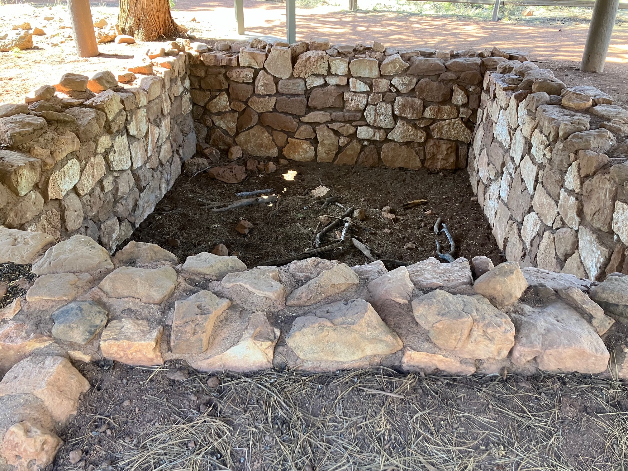
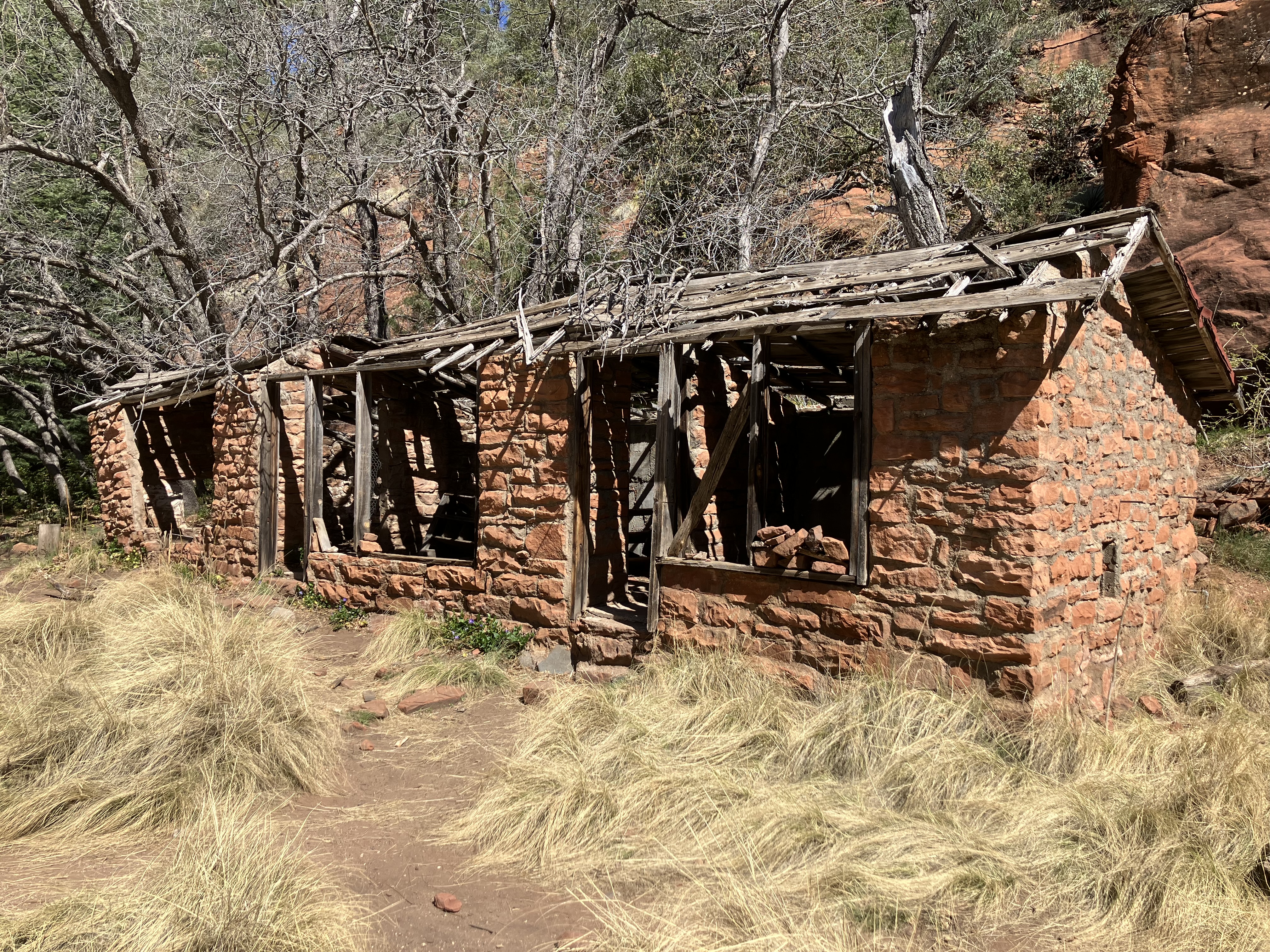
There are also a few pueblo ruins.
 |
 |
Had to leave the way I came in, backtracking via a dirt road. By now the smoke was inundating
the highway.
 |
 |
Got to Flagstaff at 3:40, checked in at the
Rodeway Inn,
washed the dirt off my windows,
showered, ate a bit, did some writing, and set out at 6:15 to visit some
breweries.
None of them had a great Untappd rating, but I hadn't had a beer in two days,
and it's not like I had better options. Happened to walk by
Flagstaff Brewing, which was not on my list because it
has a terrible rating. A server gave me a small sample of one beer, which was marginal
as expected:
 |
 |
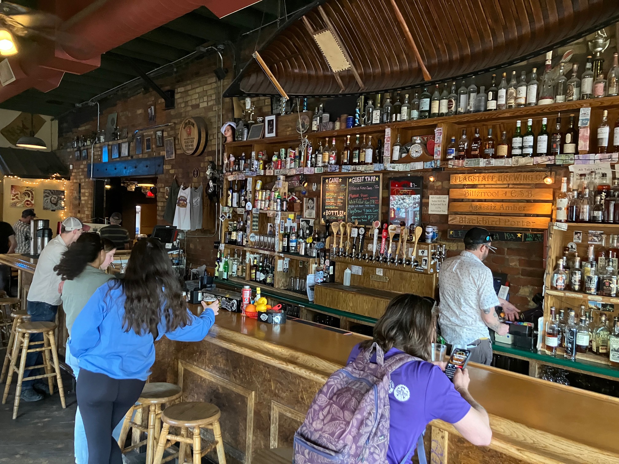
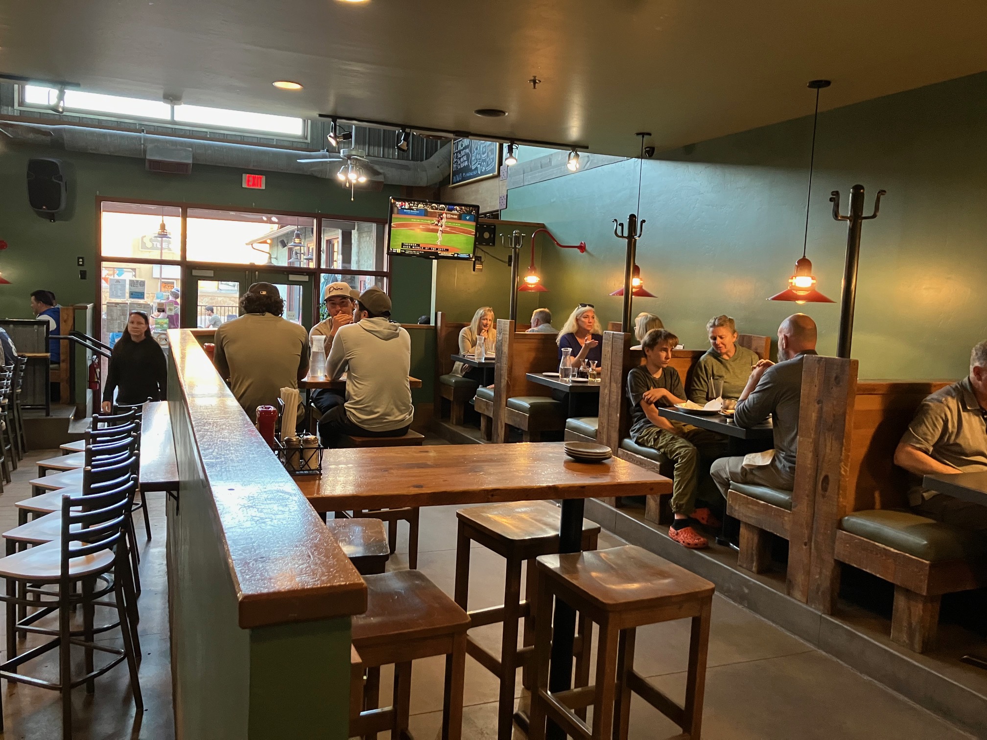
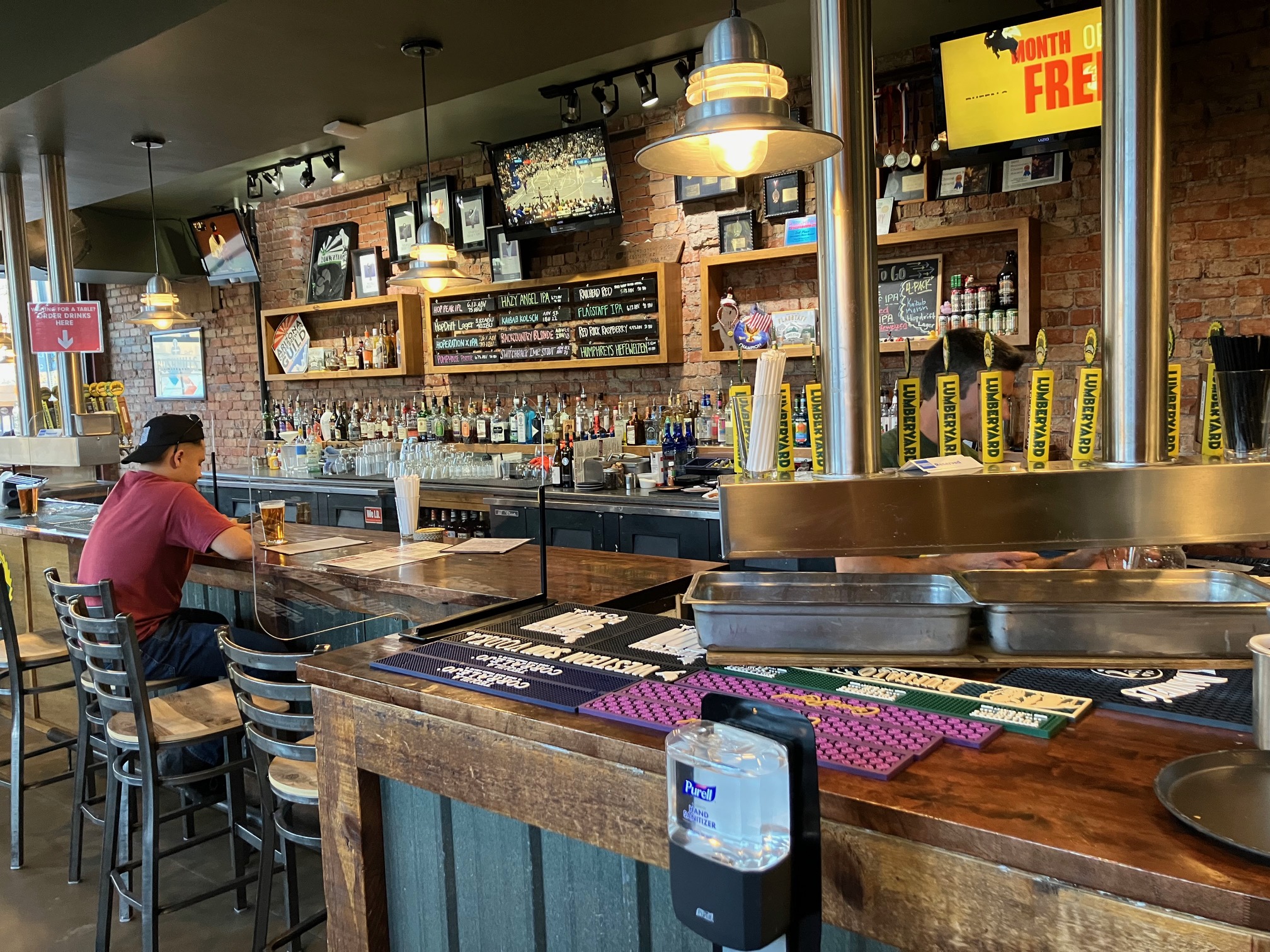
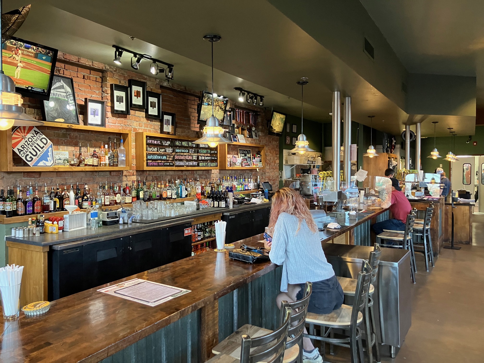
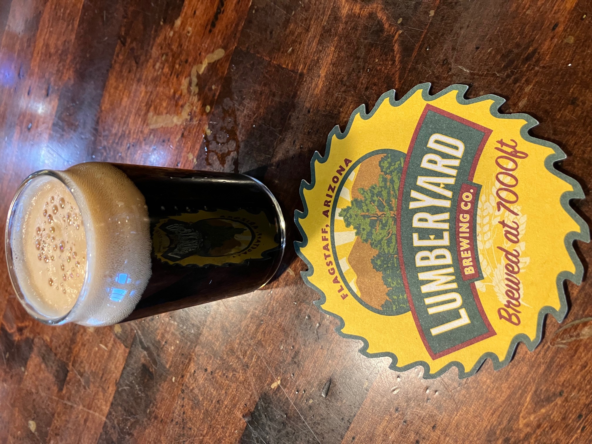
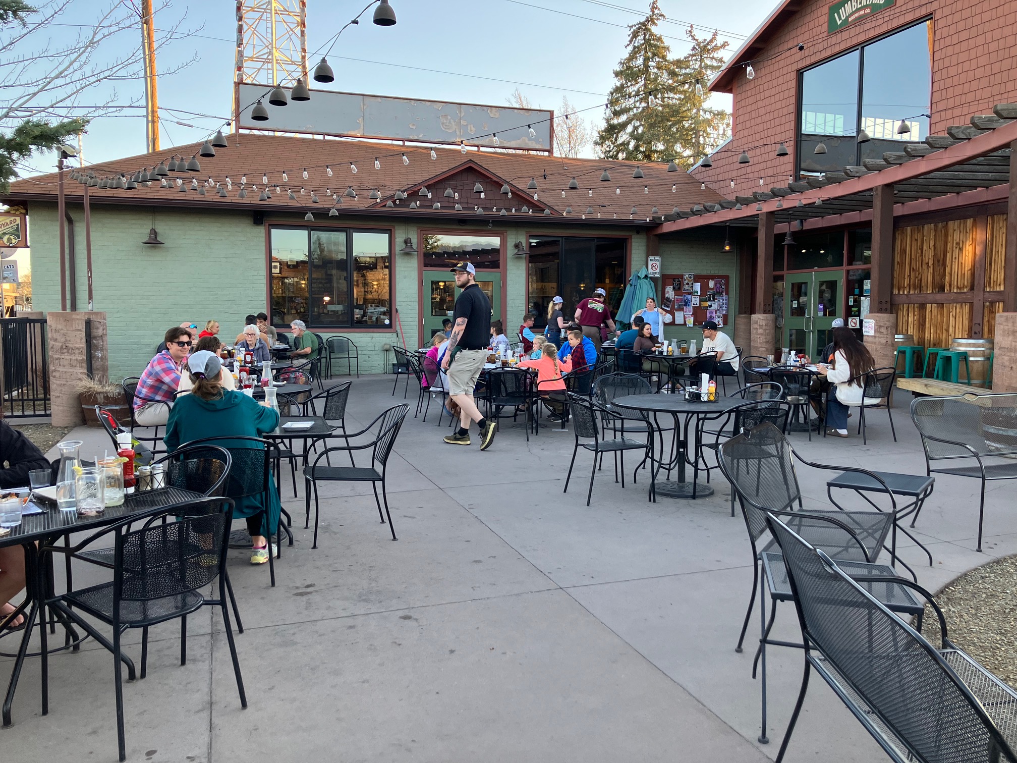
Arrived at
Lumberyard Brewing at 6:30
and sampled:
 |
 |
 |
 |
 |
 |
 |
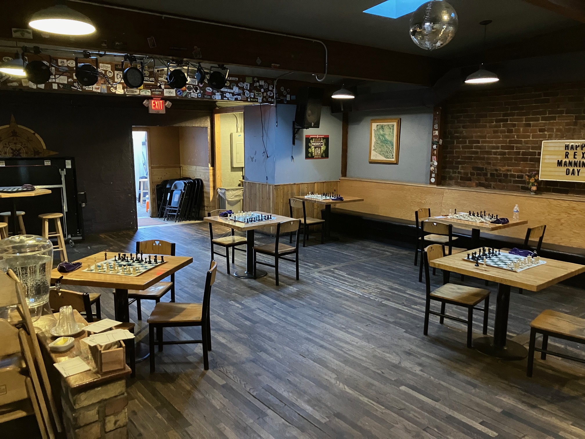
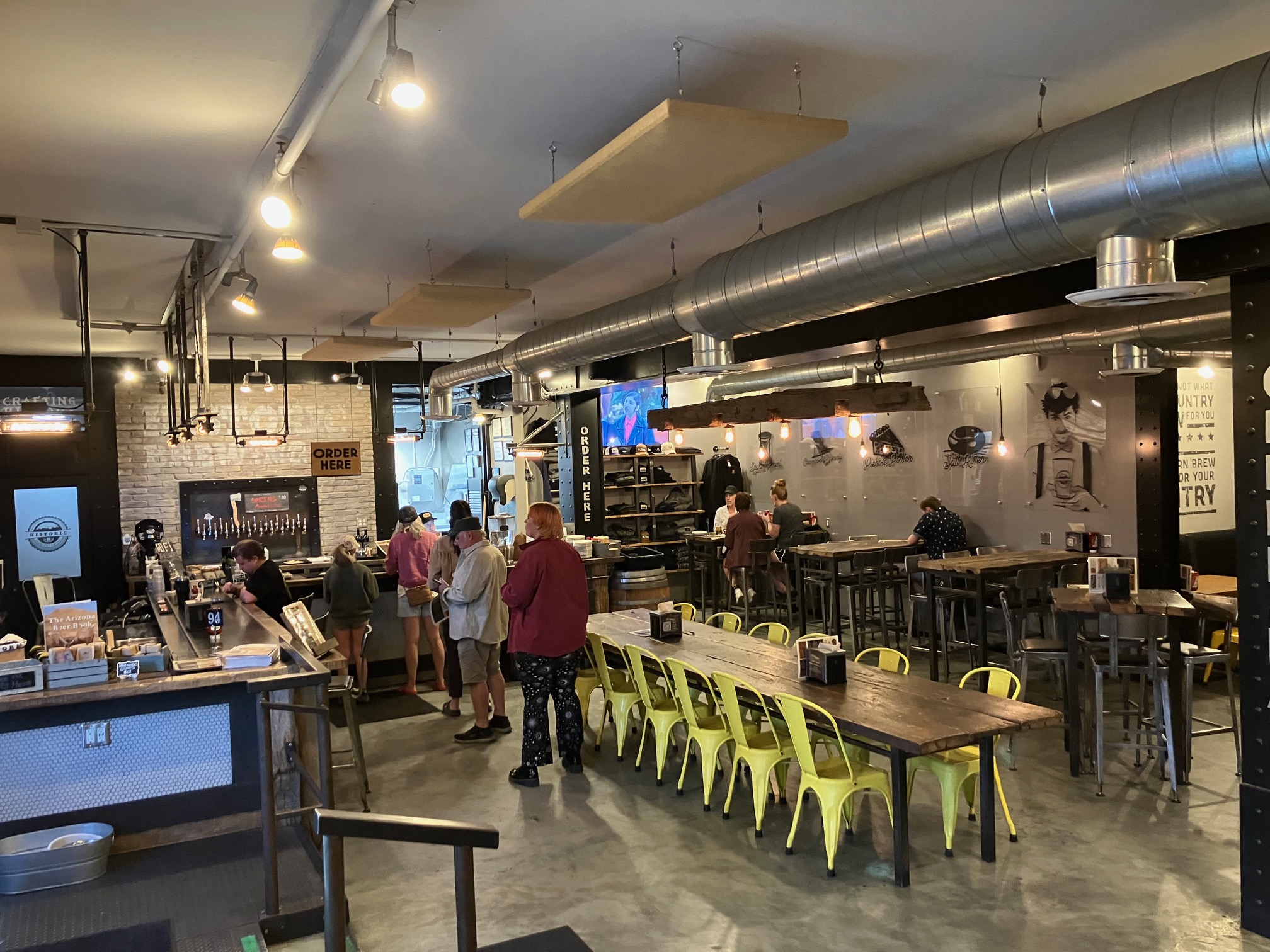
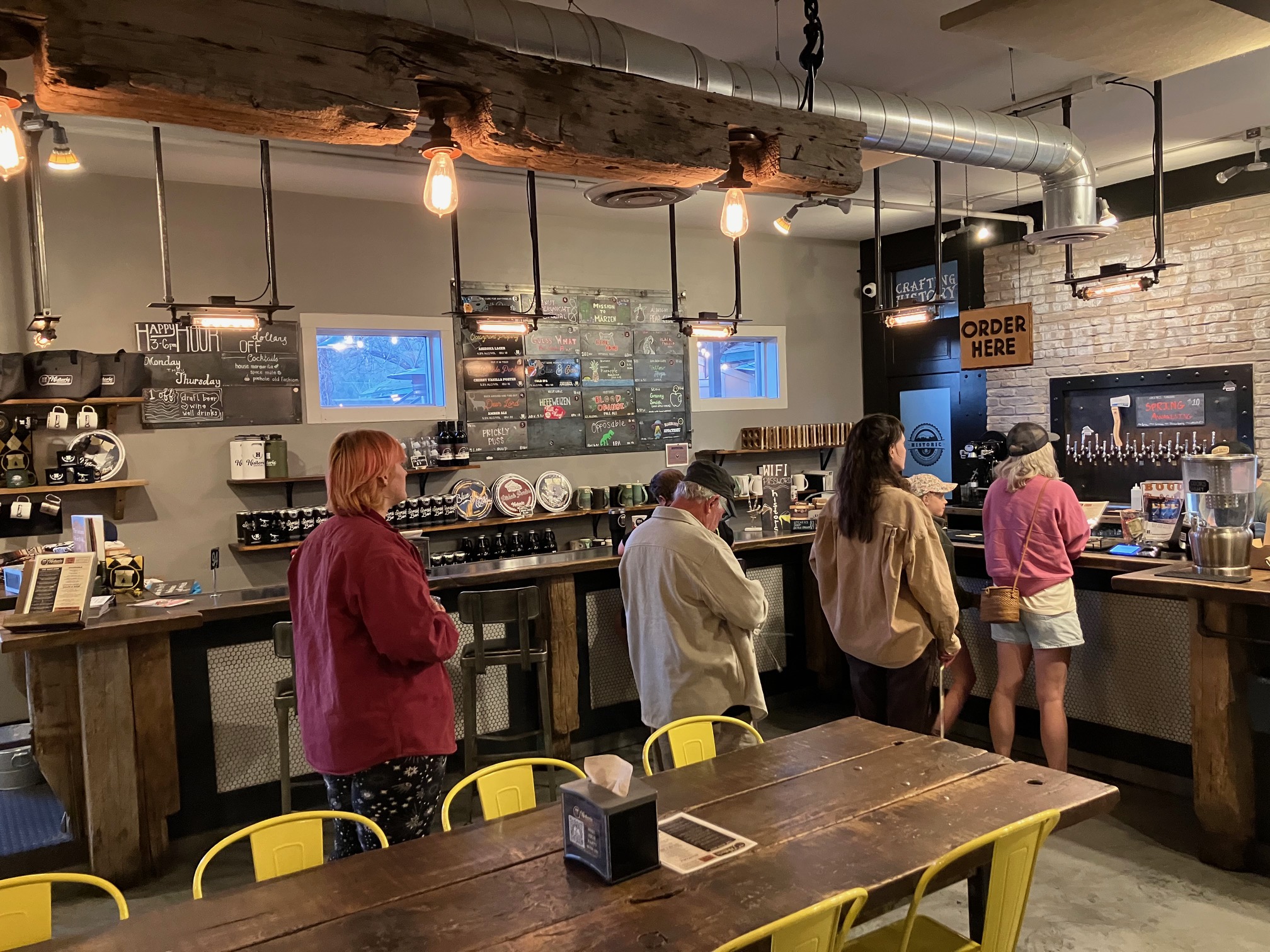
Next was
Historic Brewing, which has 3 locations. I was at their
Flagstaff Barrel House.
 |
 |
 |
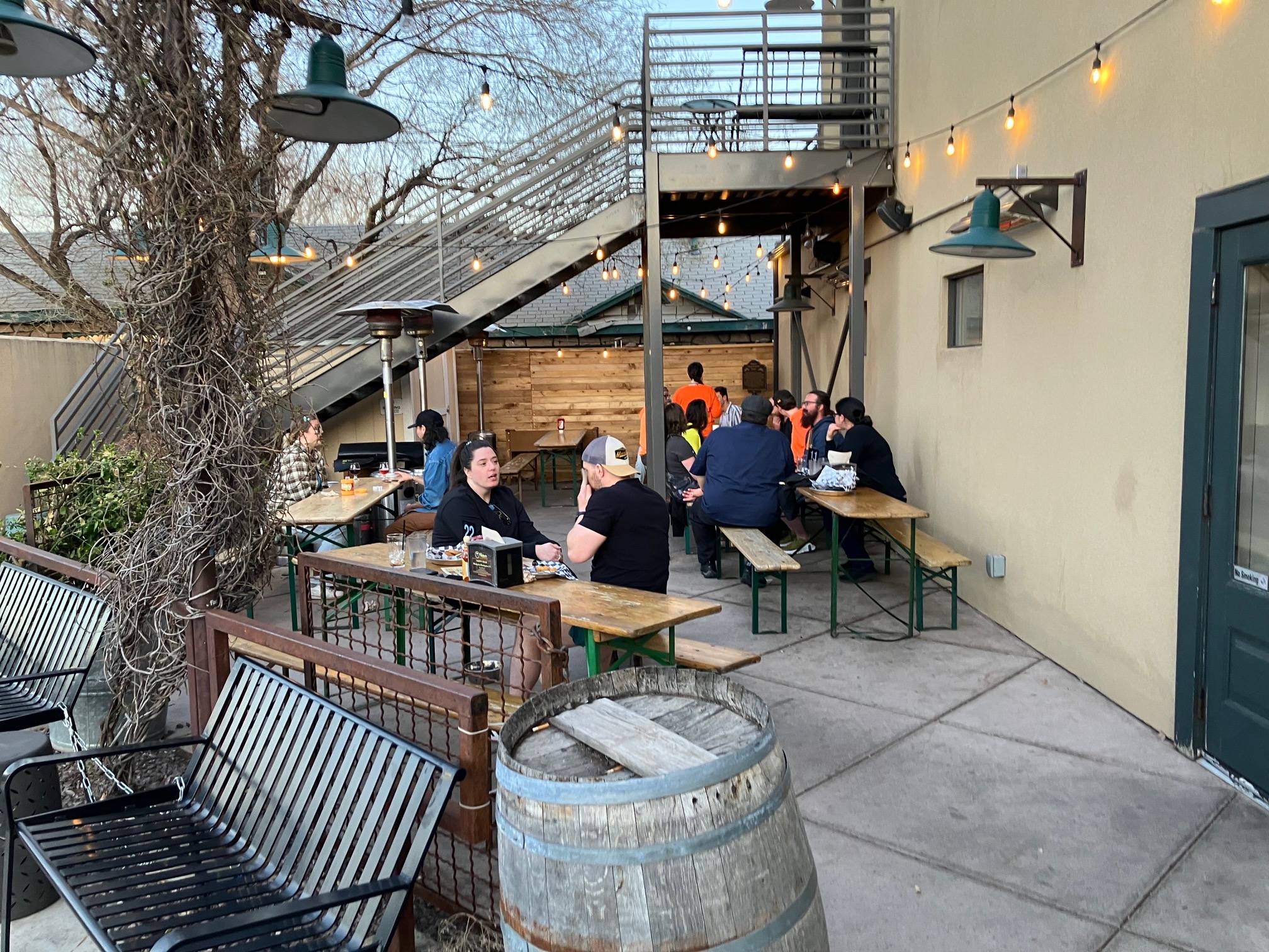 |
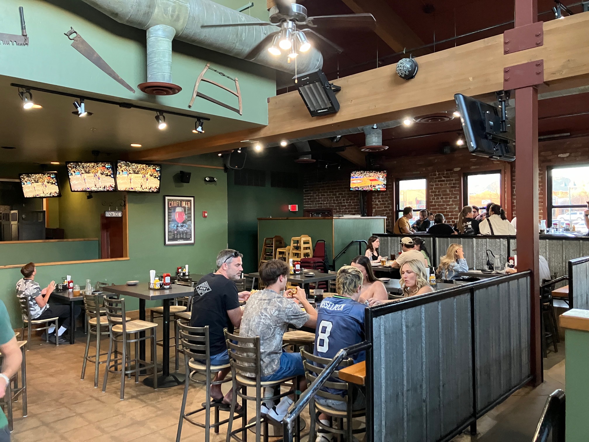
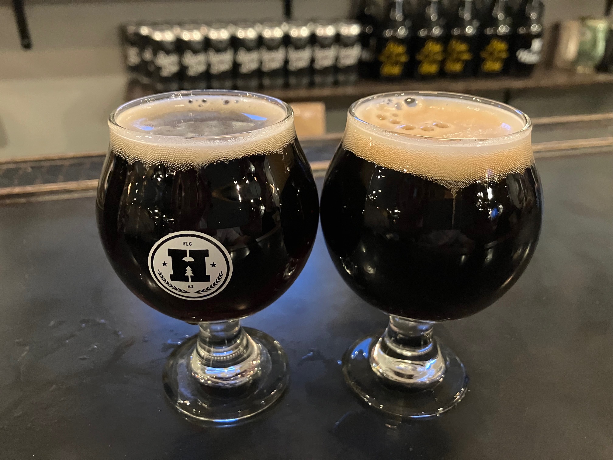
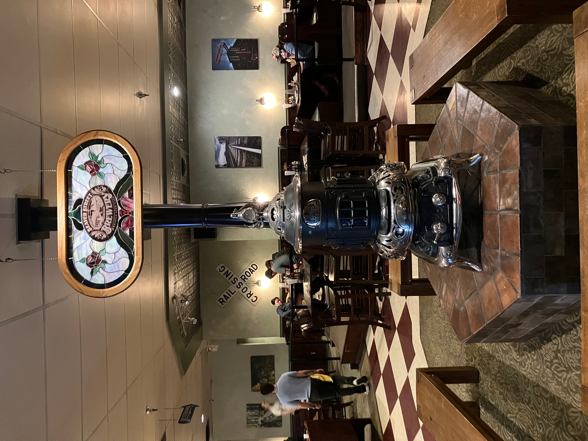
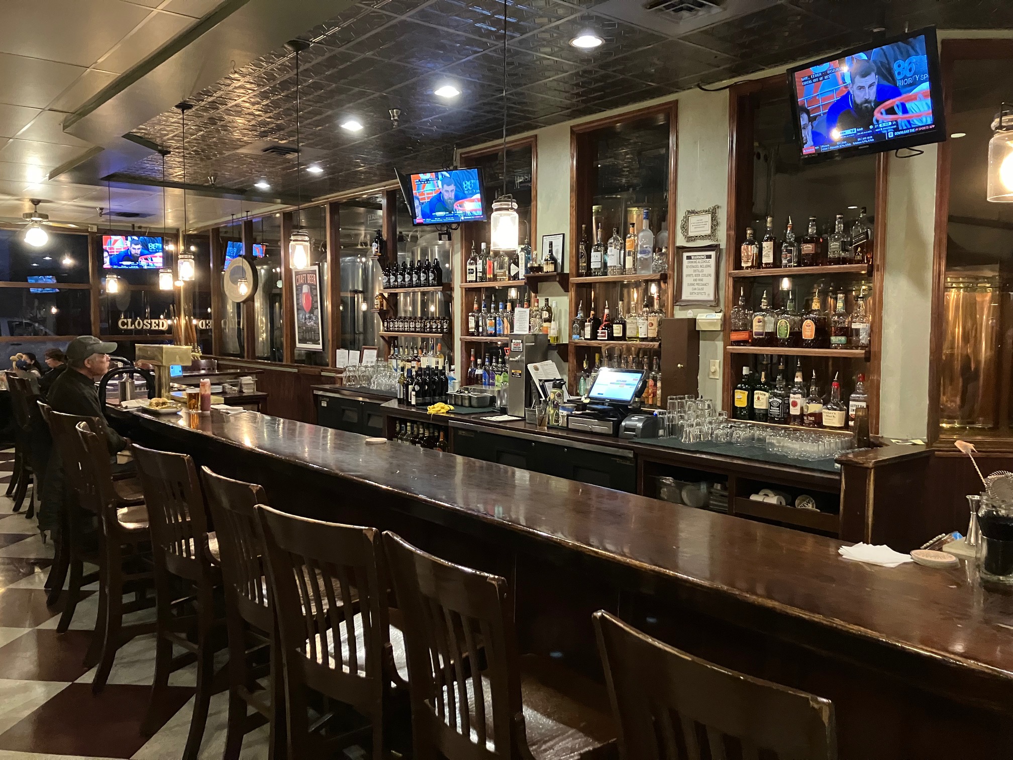
Got to
Beaver Street Brewery a little before 7:30.
All their beers had low ratings so I didn't order anything. Here are a few photos though.
 |
 |
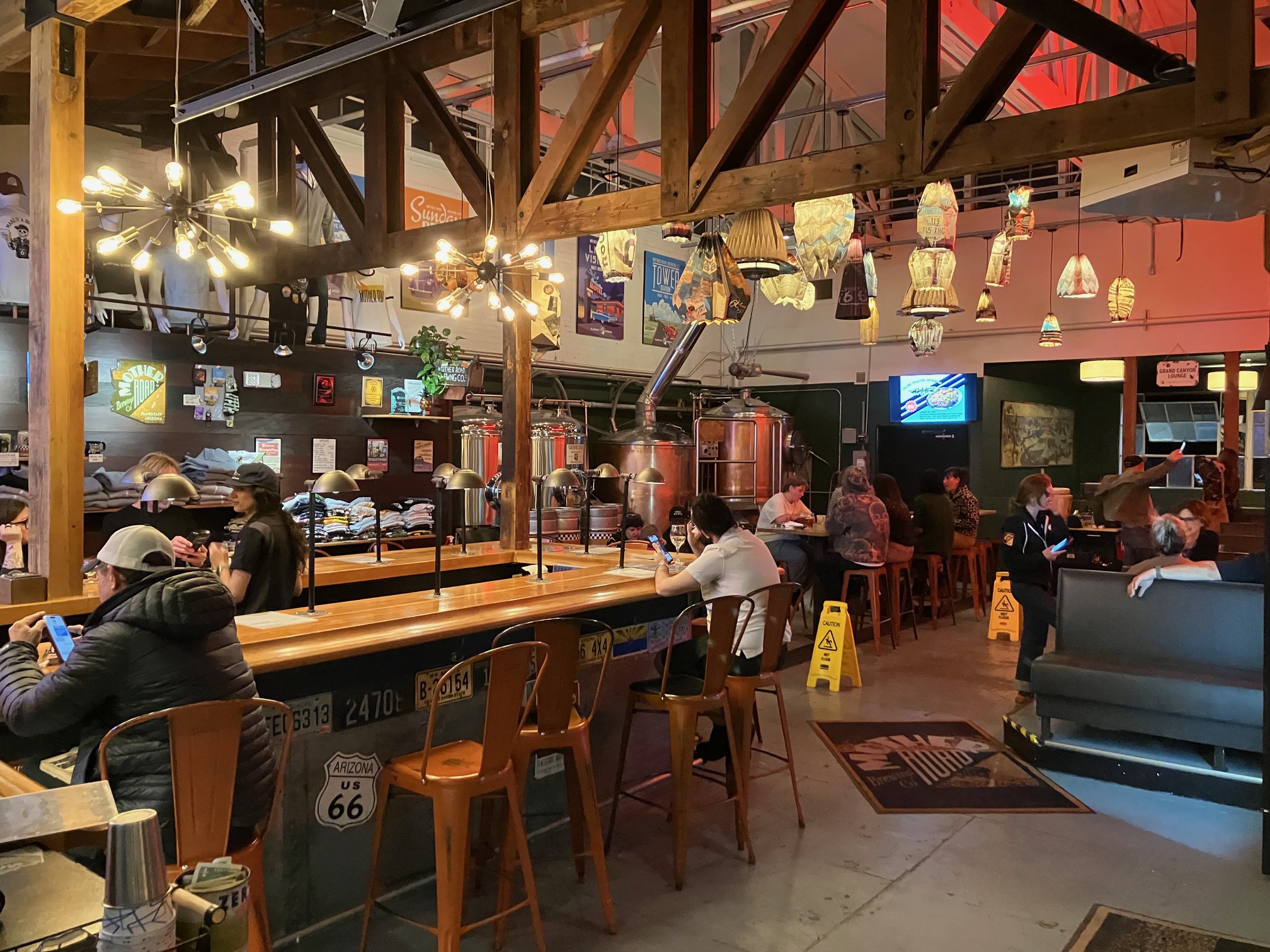
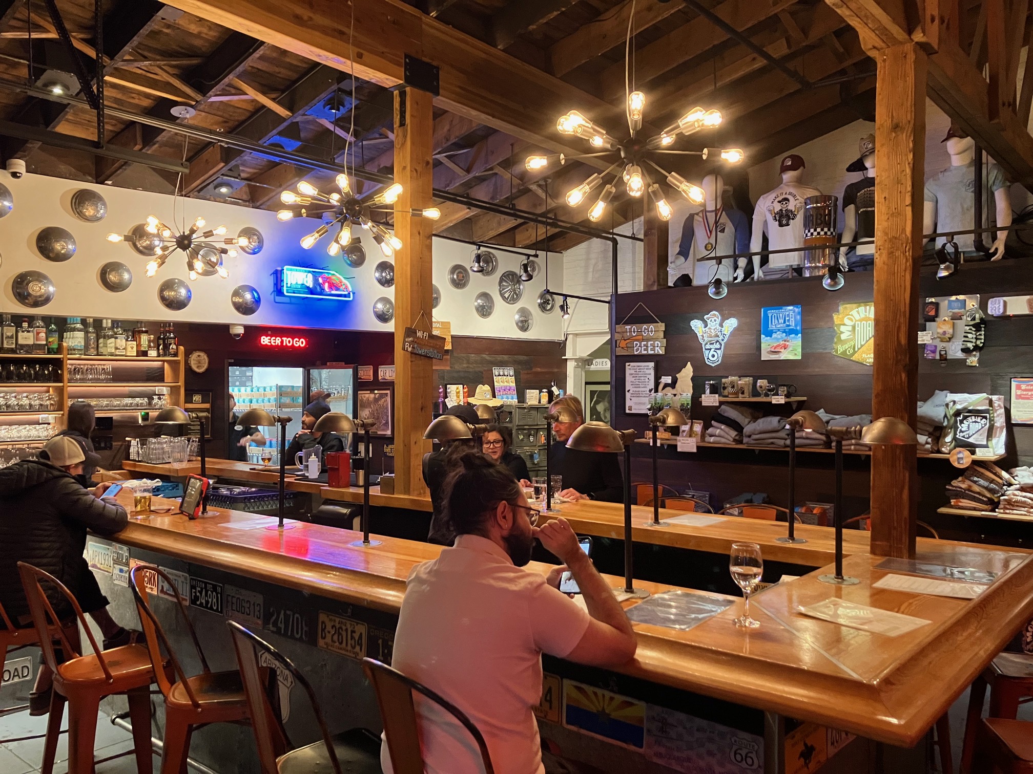
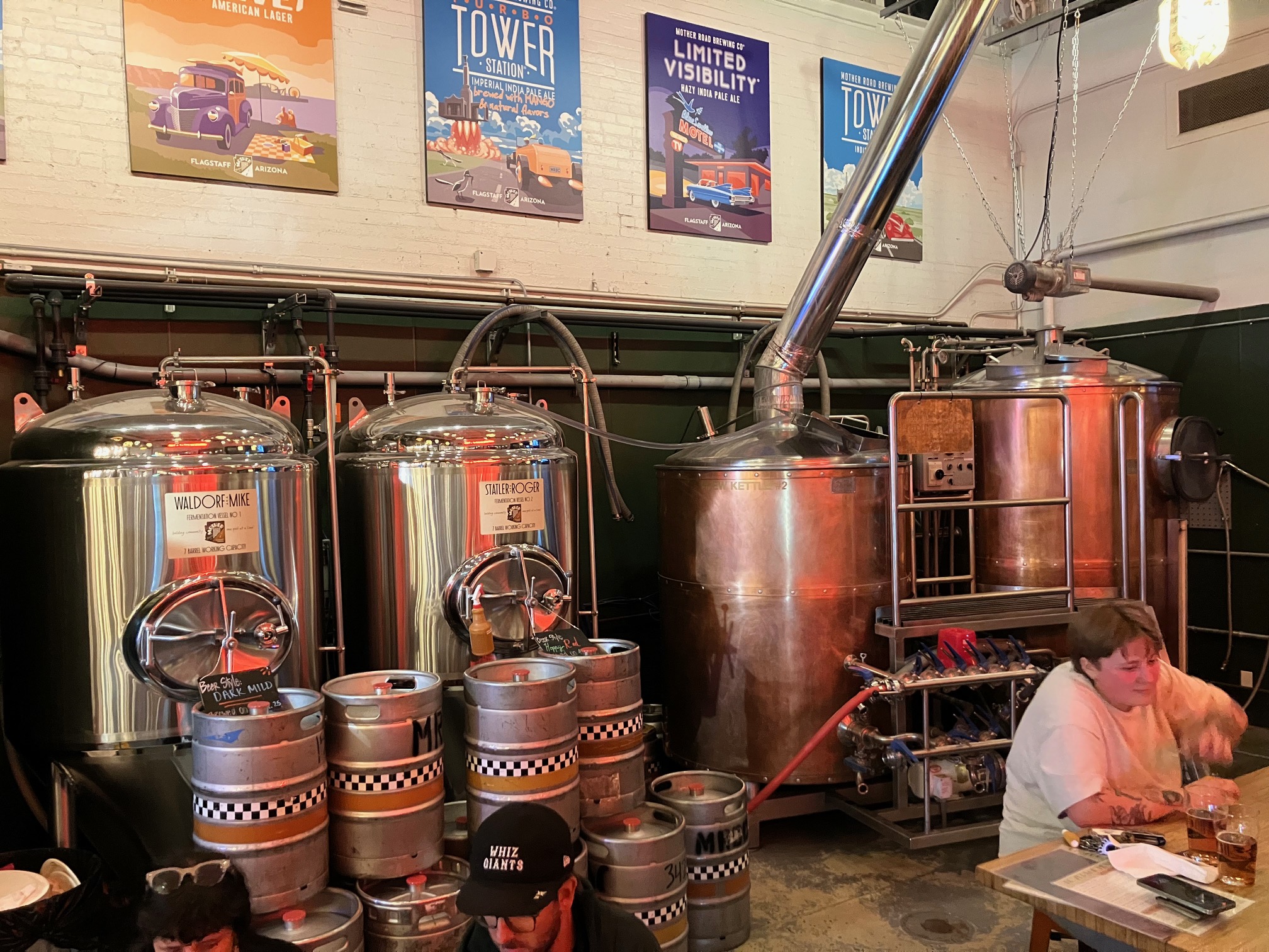
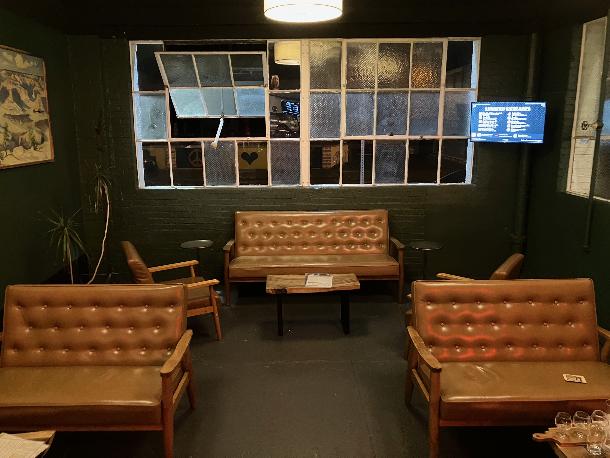
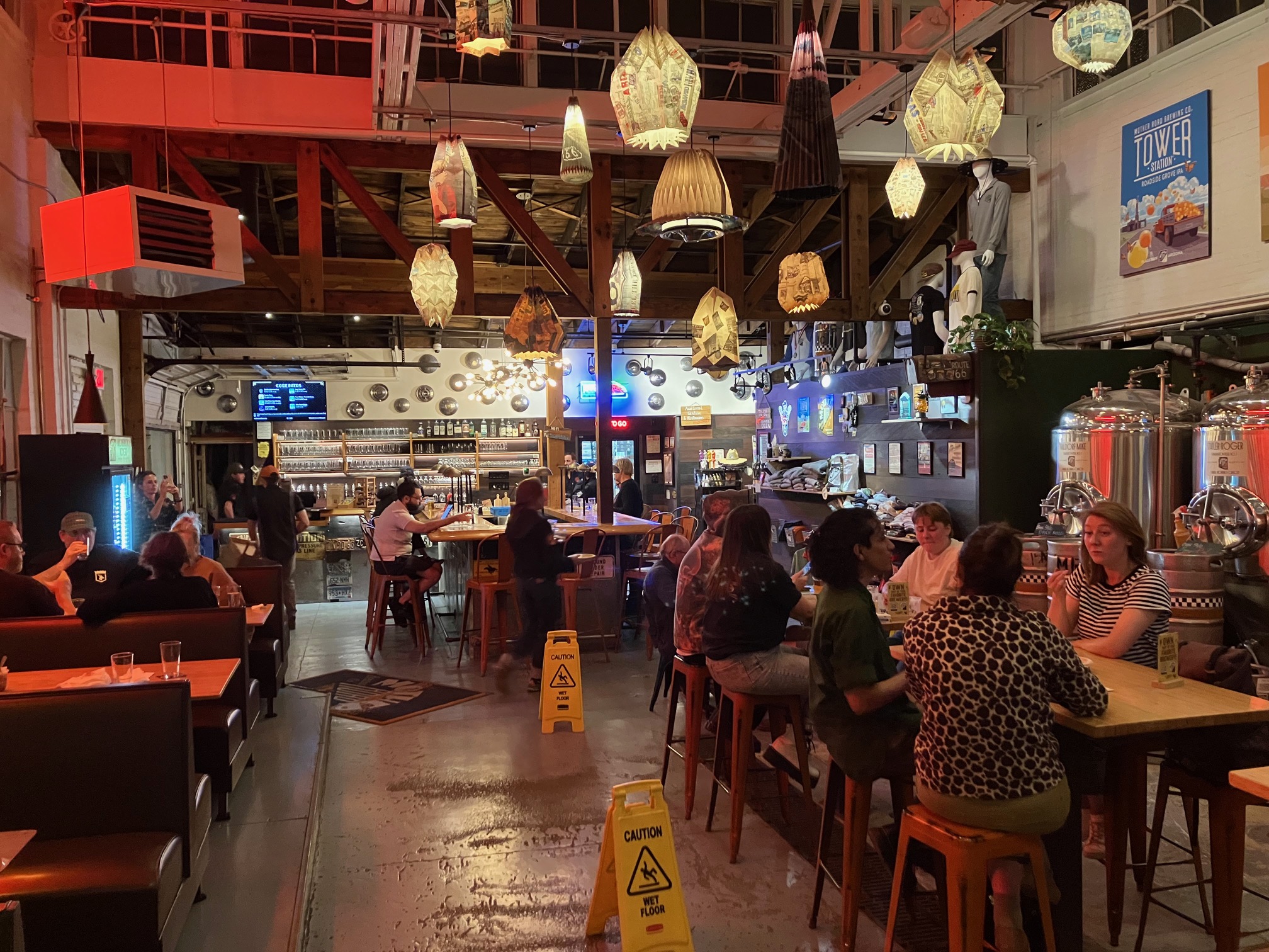
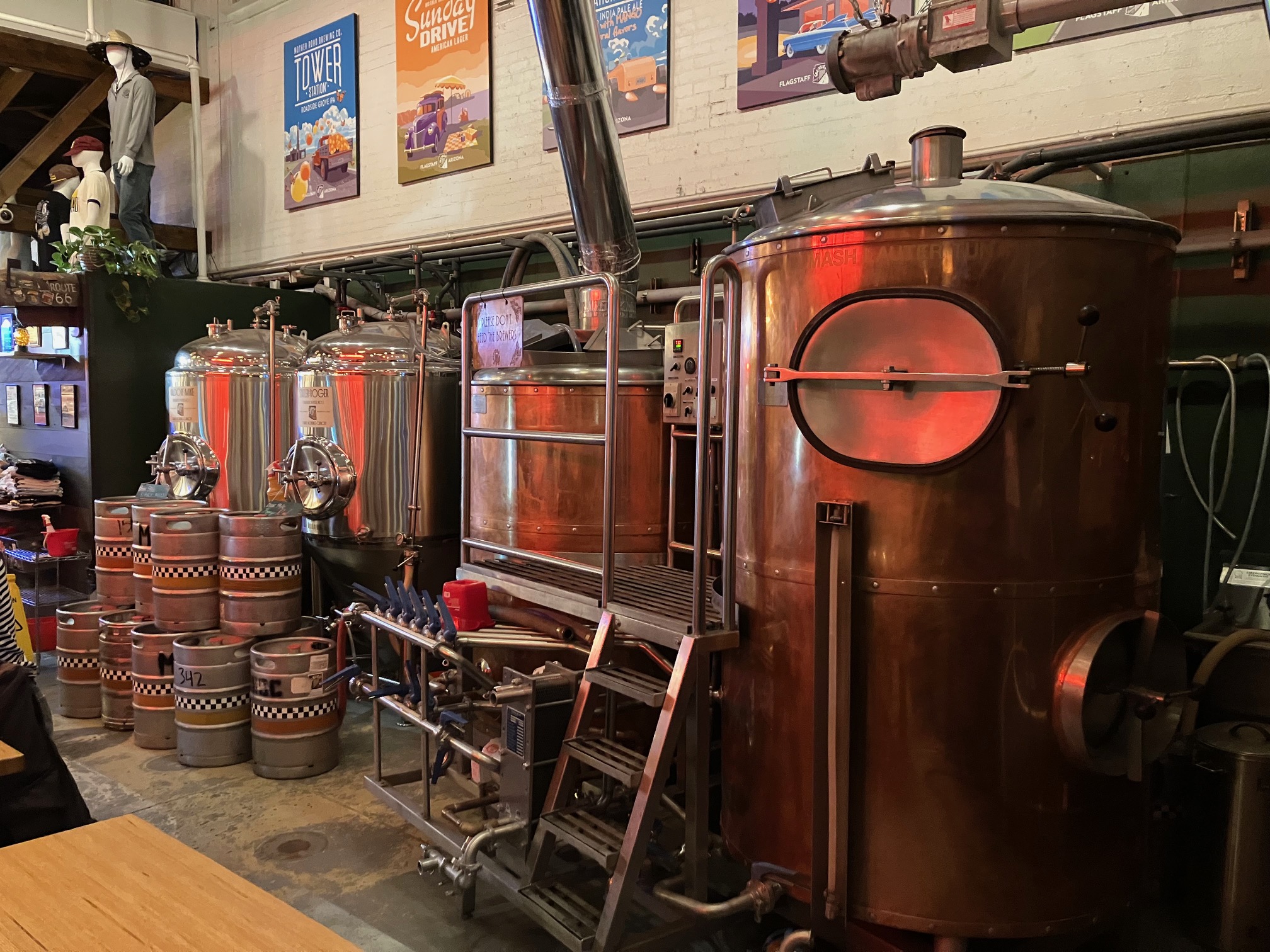
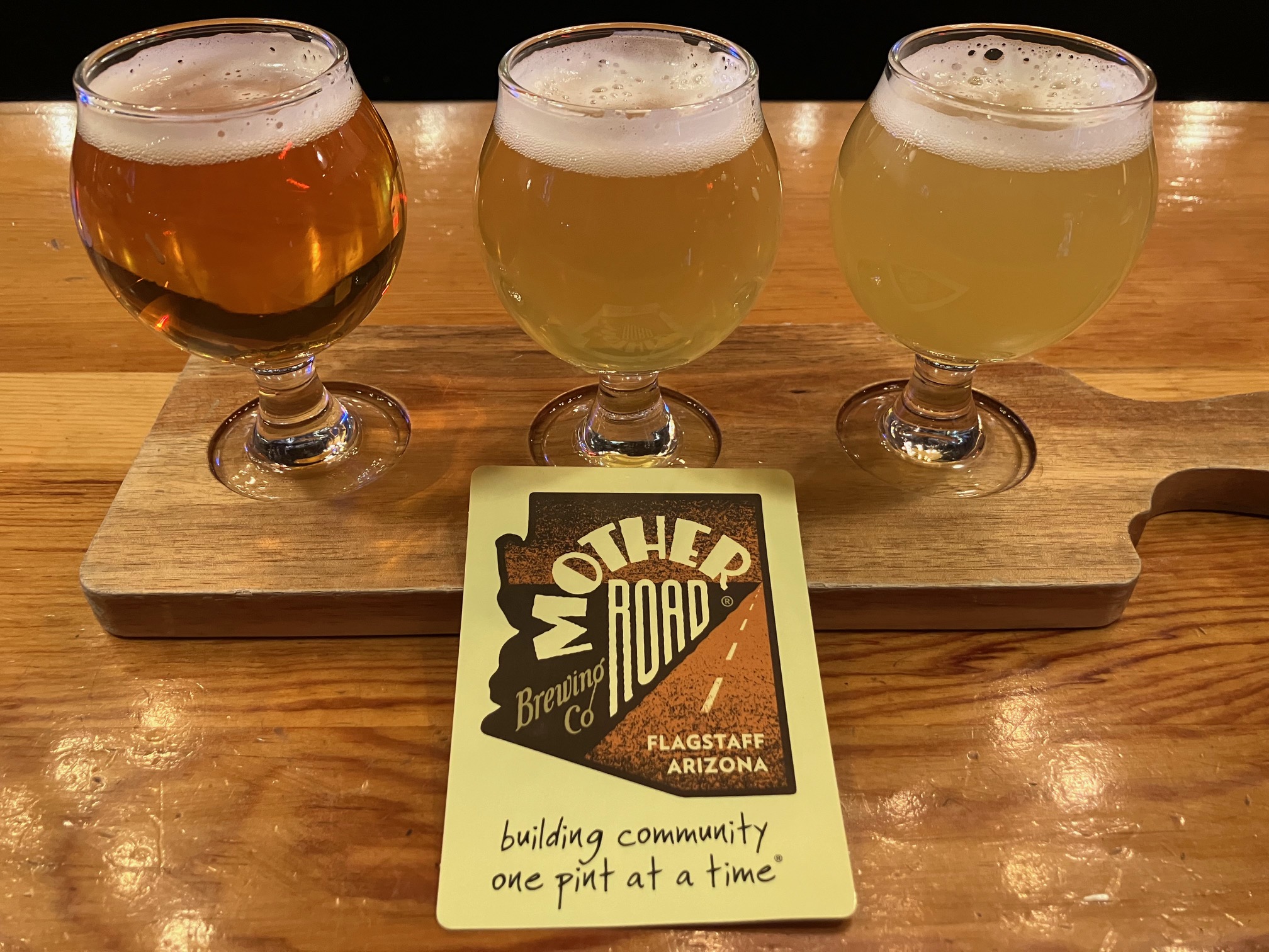
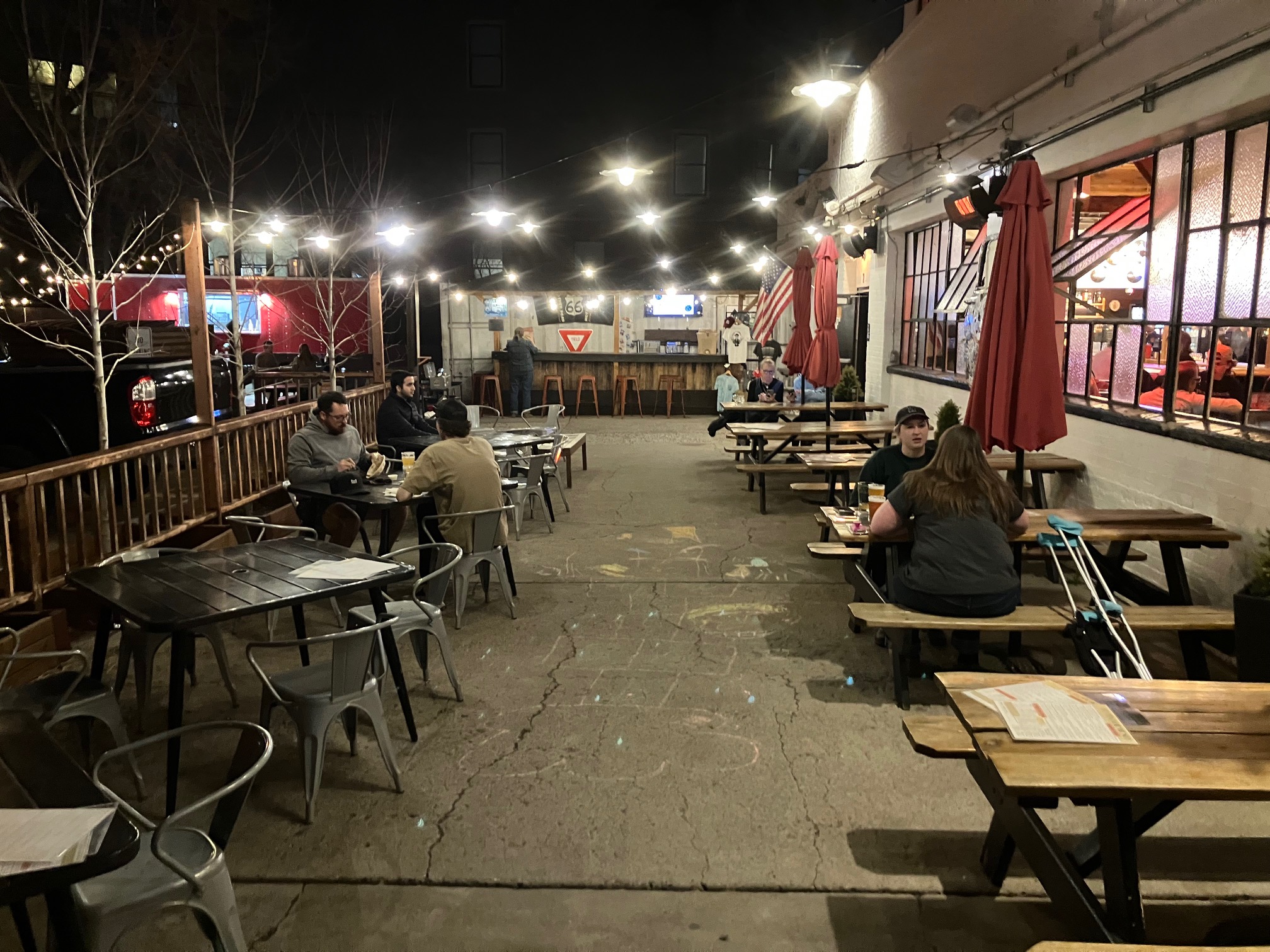
My final brewery of the evening was
Mother Road Brewing.
They do 3-beer flights and 6-beer flights. I got the former.
 |
 |
 |
 |
 |
 |
 |
 |
Returned to the motel at 8:30 and crashed shortly thereafter.
Thursday April 10. Slept until 3:00ish. Left at 6:00 for
Oak Creek Vista,
which is in the Coconino National Forest.
Unfortunately when I got there 20 minutes later
a sign at the entrance said that it wouldn't open until 8:00. There was no
place to park along the road.
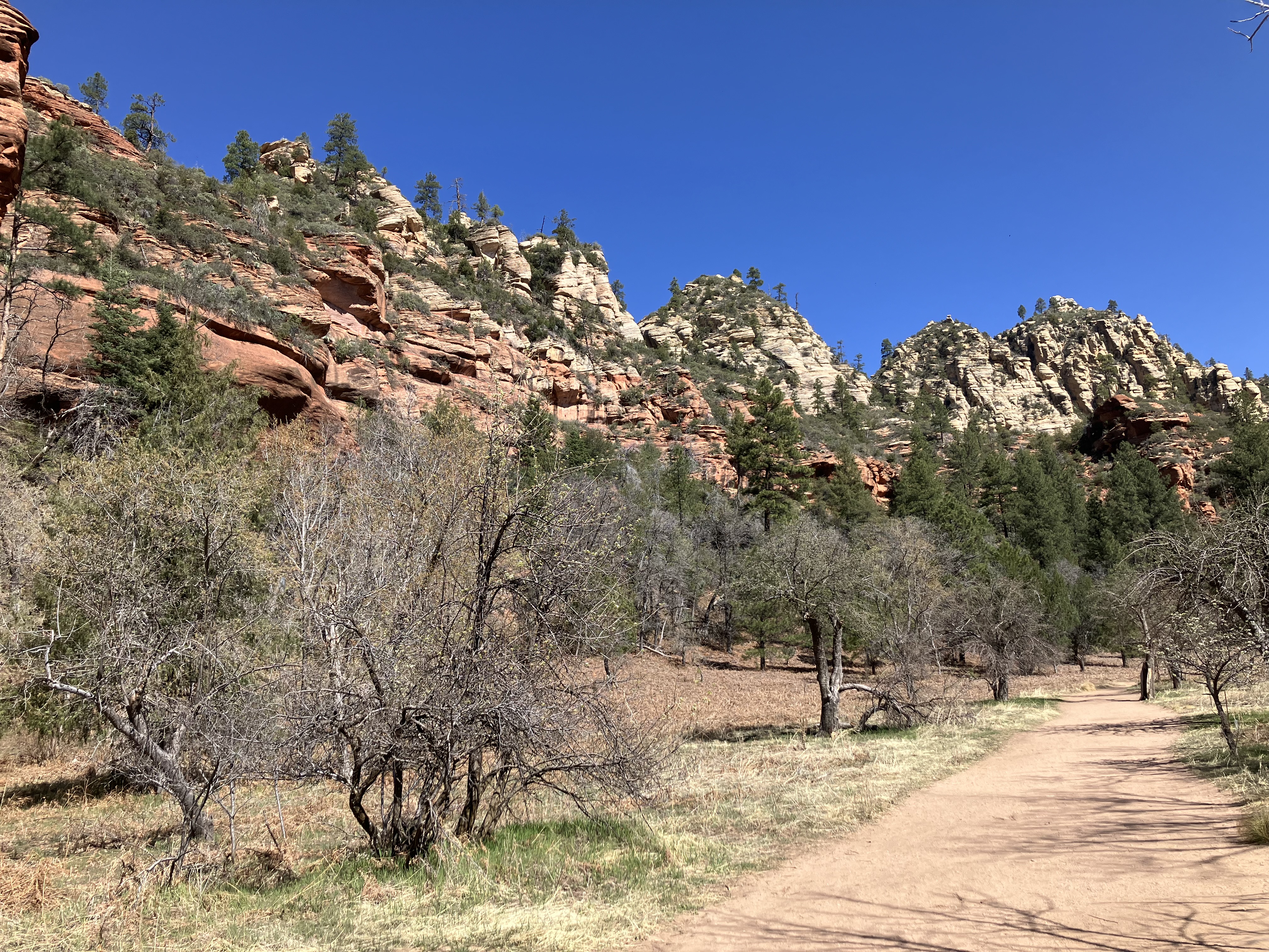
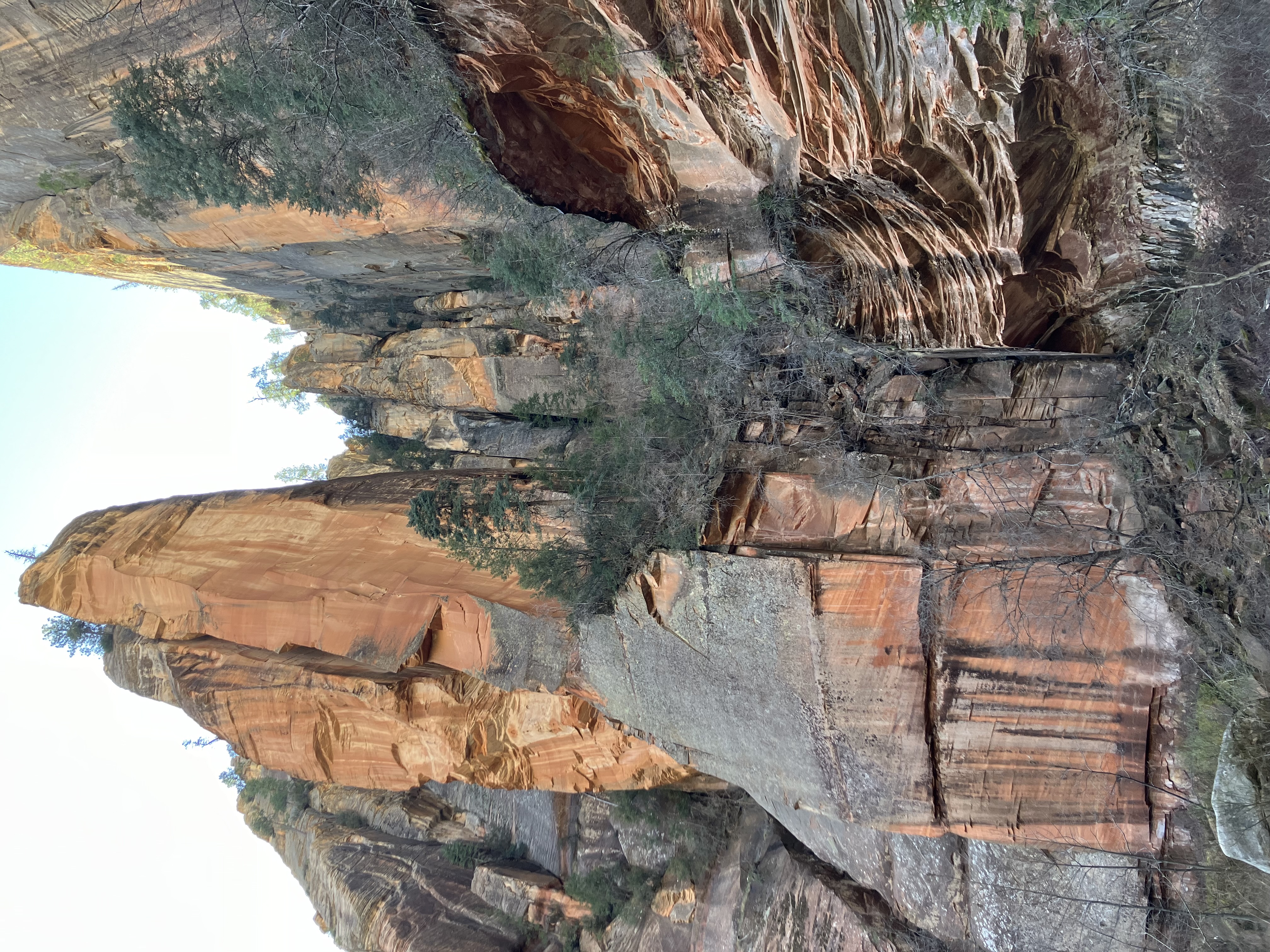
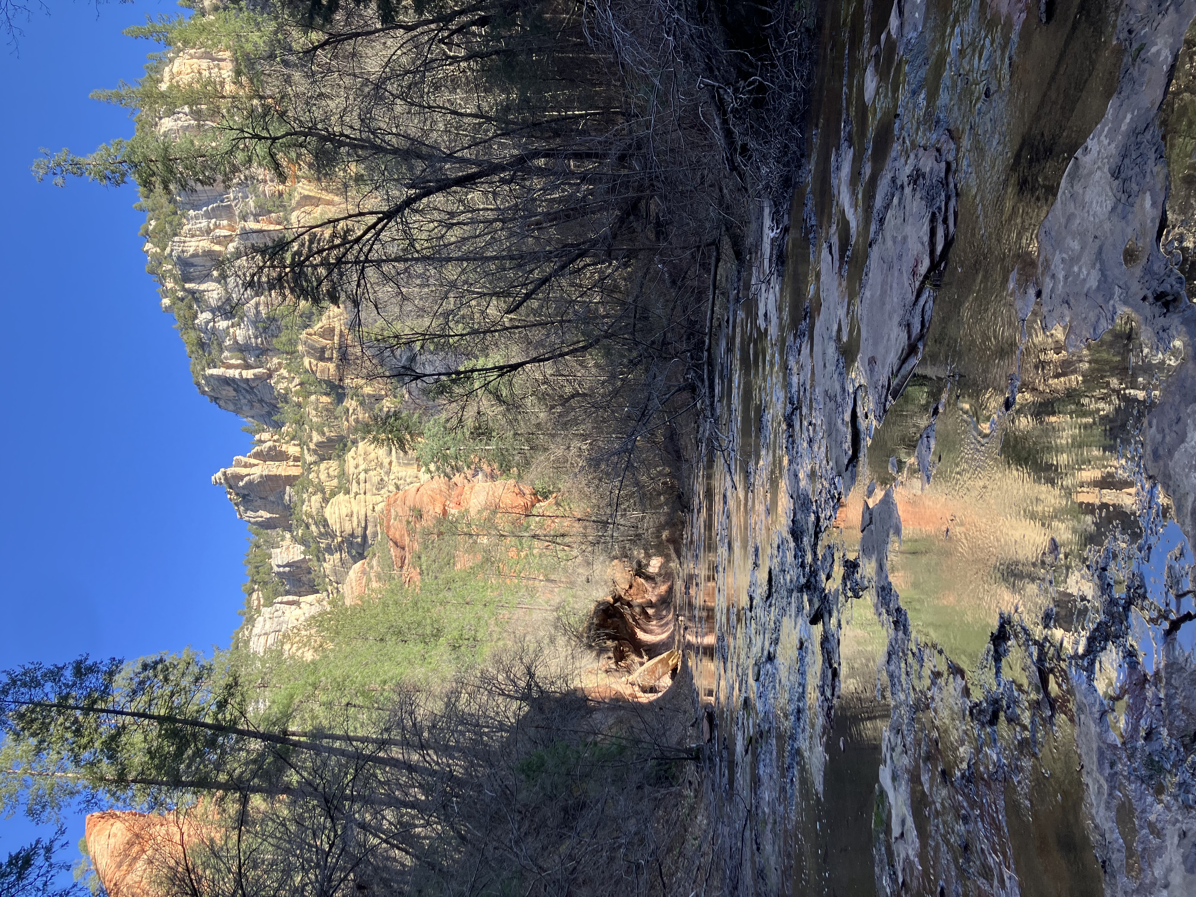
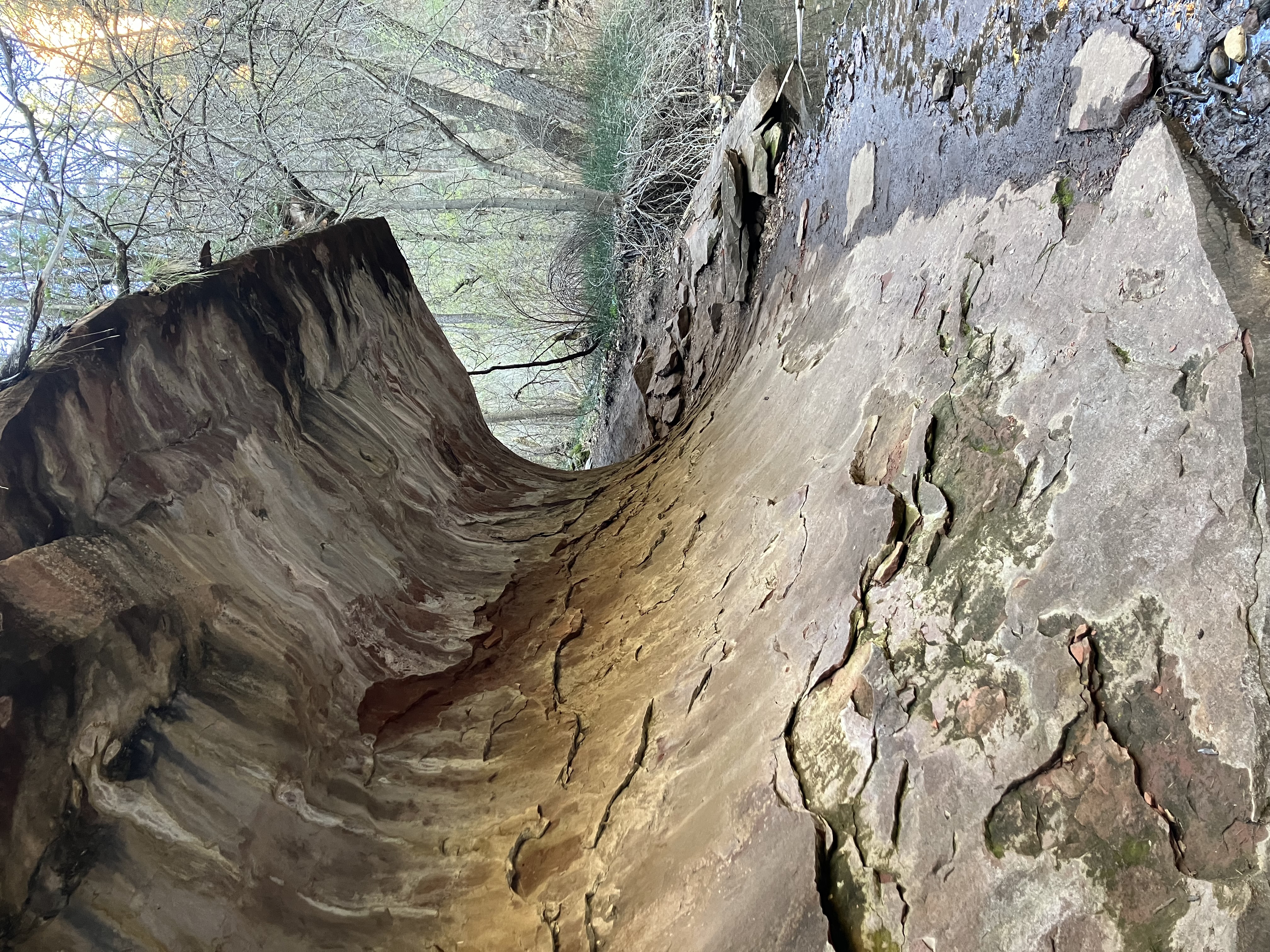
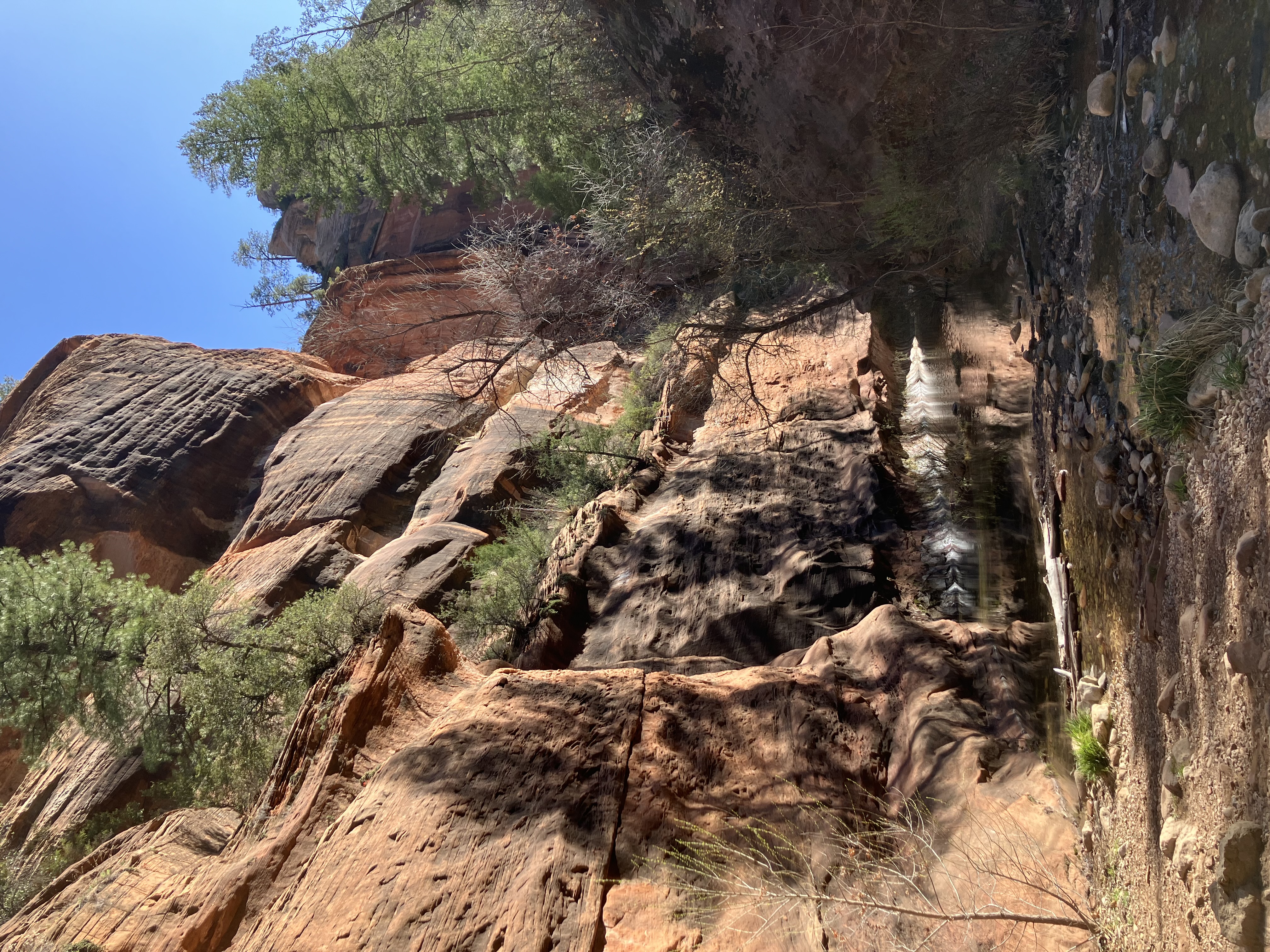
I went further down the road to West Fork of Oak Creek, which also had a sign that said it wouldn't open until 8:00. When I got there at 6:30 there were 3 cars ahead of me. I talked to one of the drivers, and he told me that they open at 7:00 starting on April 1. They actually opened a little before 7:00 today. Even though it's federal property, they wouldn't accept my America the Beautiful Pass, so I had to pay $15 to enter.
This is a very popular hiking area. There is a flat trail that is a little under 7 miles out-and-back. When I started my hike at 7:02 the temperature was in the 30s. It wasn't a very impressive hike. There wasn't much good scenery, parts of the trail were unmarked and confusing, and most of the smattering of good scenery was less than half a mile from the parking lot. Anyway, here are some photos.
 |
 |
 |
 |
 |
 |
 |
 |
 |
 |
When I got back to my vehicle the parking lot was packed. They had blocked off the entrance because so many people were trying to get in. As I drove away I saw many dozens of cars parked along the road;
people were walking in from over a quarter of a mile away. I can't for the life of me figure out
what makes this place so popular.
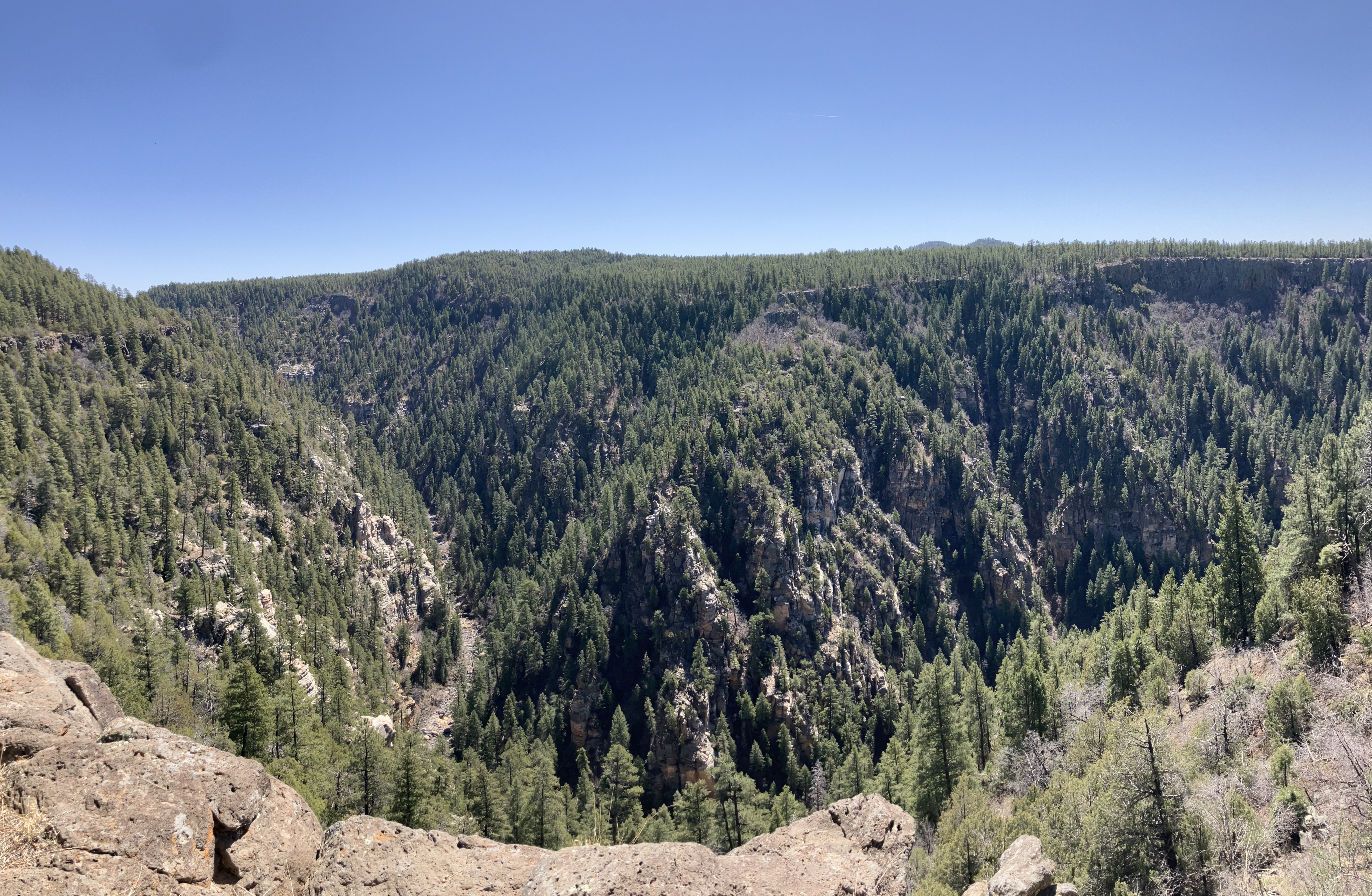
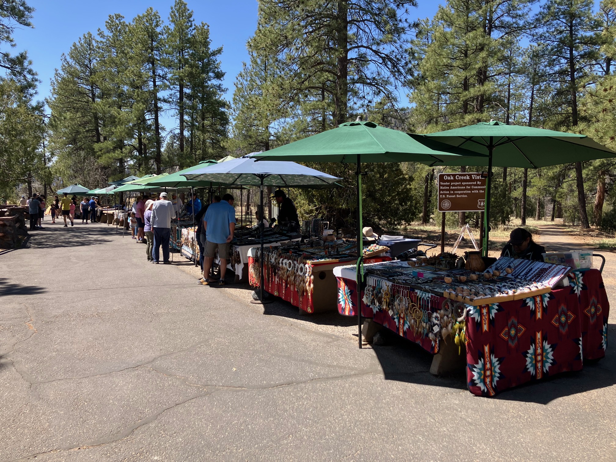
Went back up to Oak Creek Vista. When I arrived at 10:45, the temperature was in the high 70s, so it went up 40 degrees in less than 4 hours. There is this view...
 |
...and there were Native Americans selling jewelry.
 |
Then I drove north, past Flagstaff, to
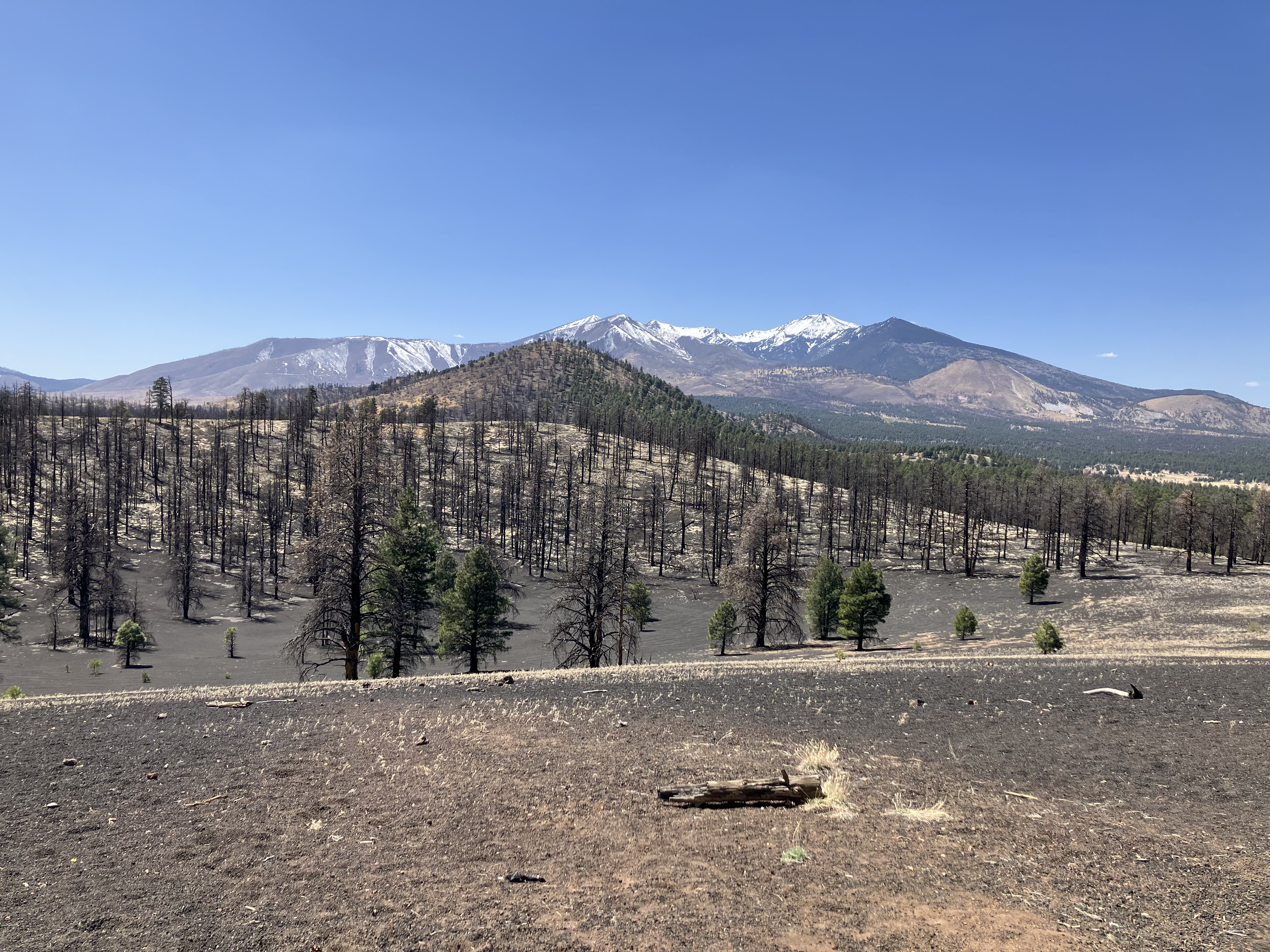
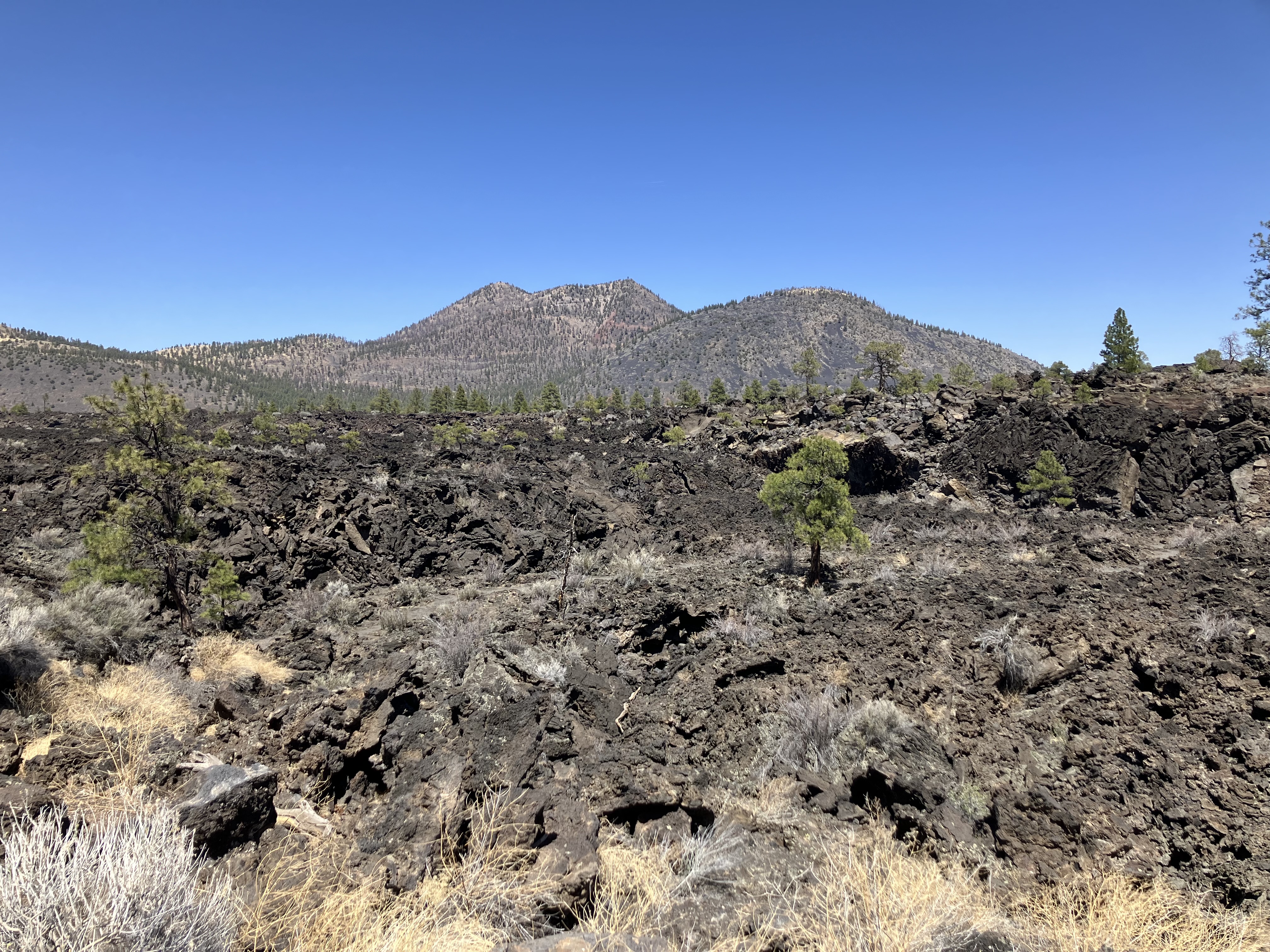
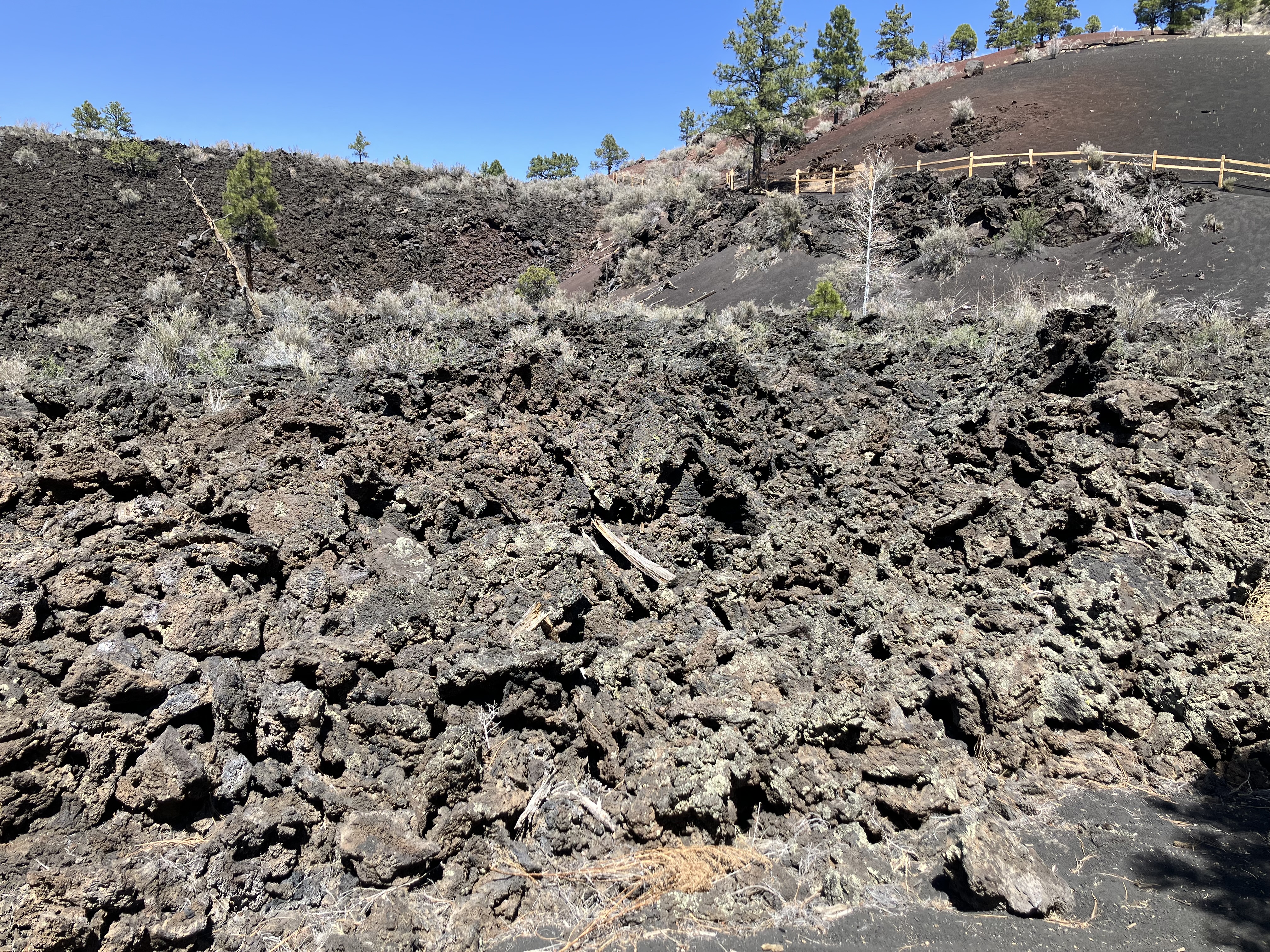
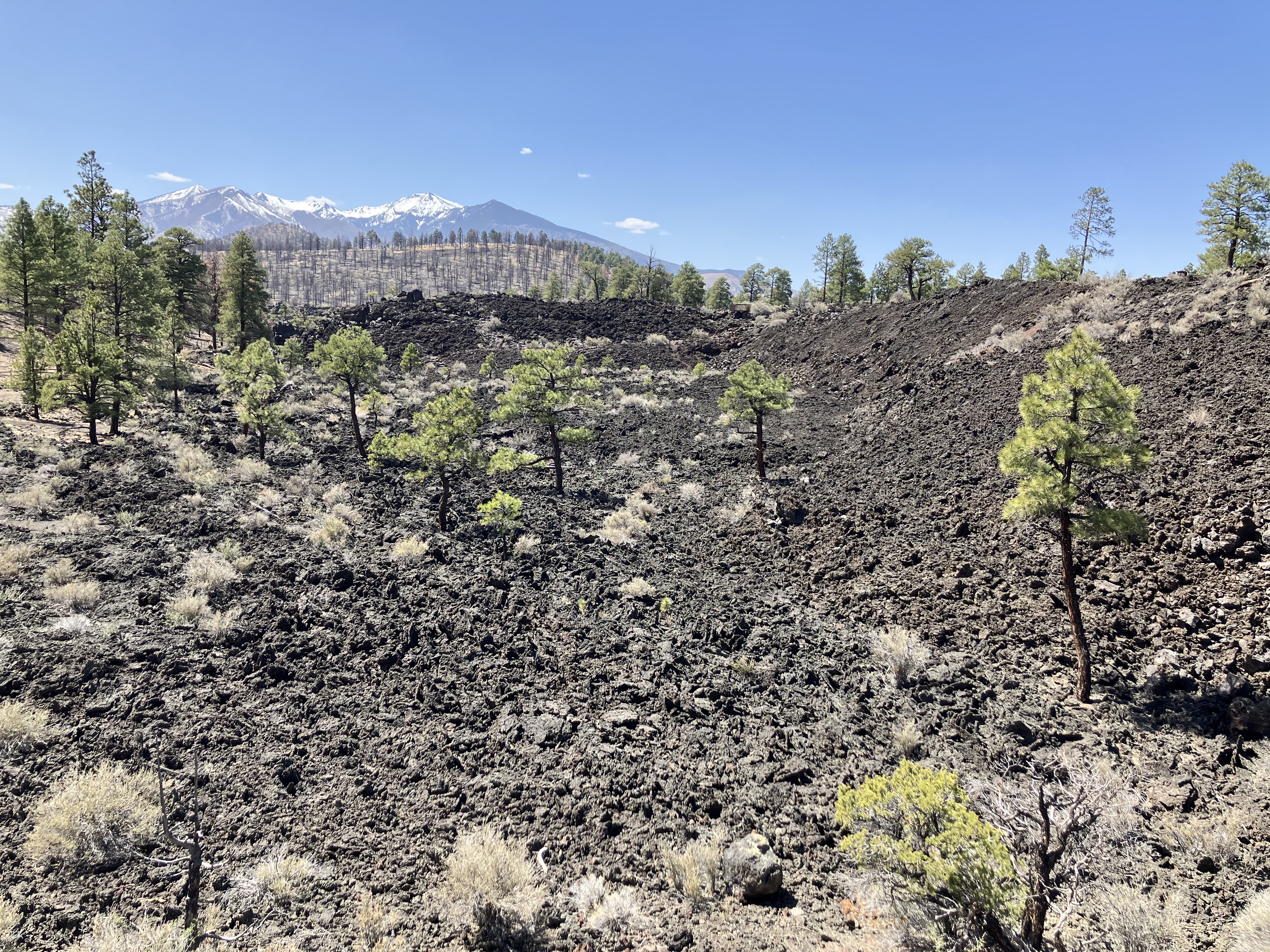
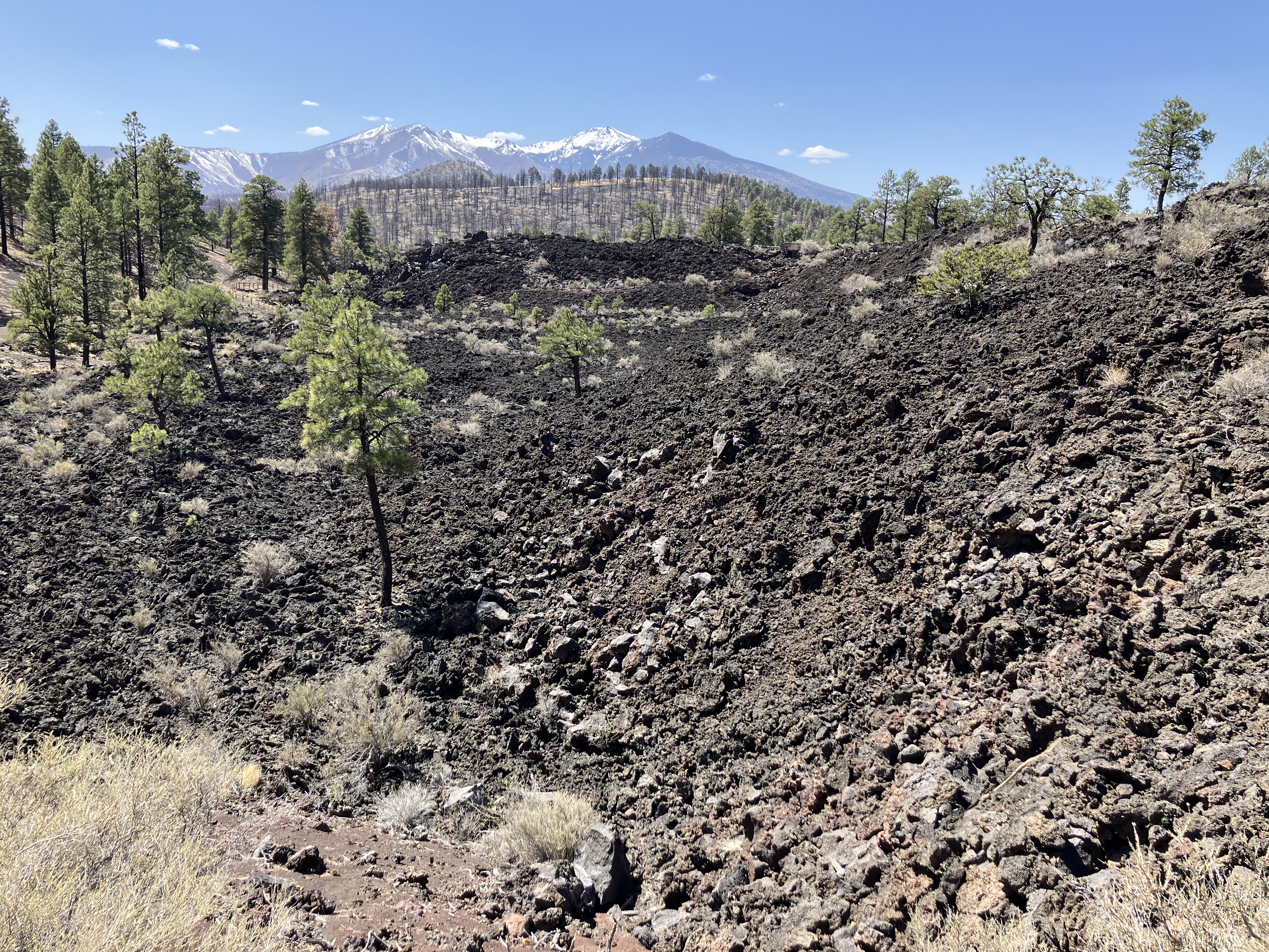
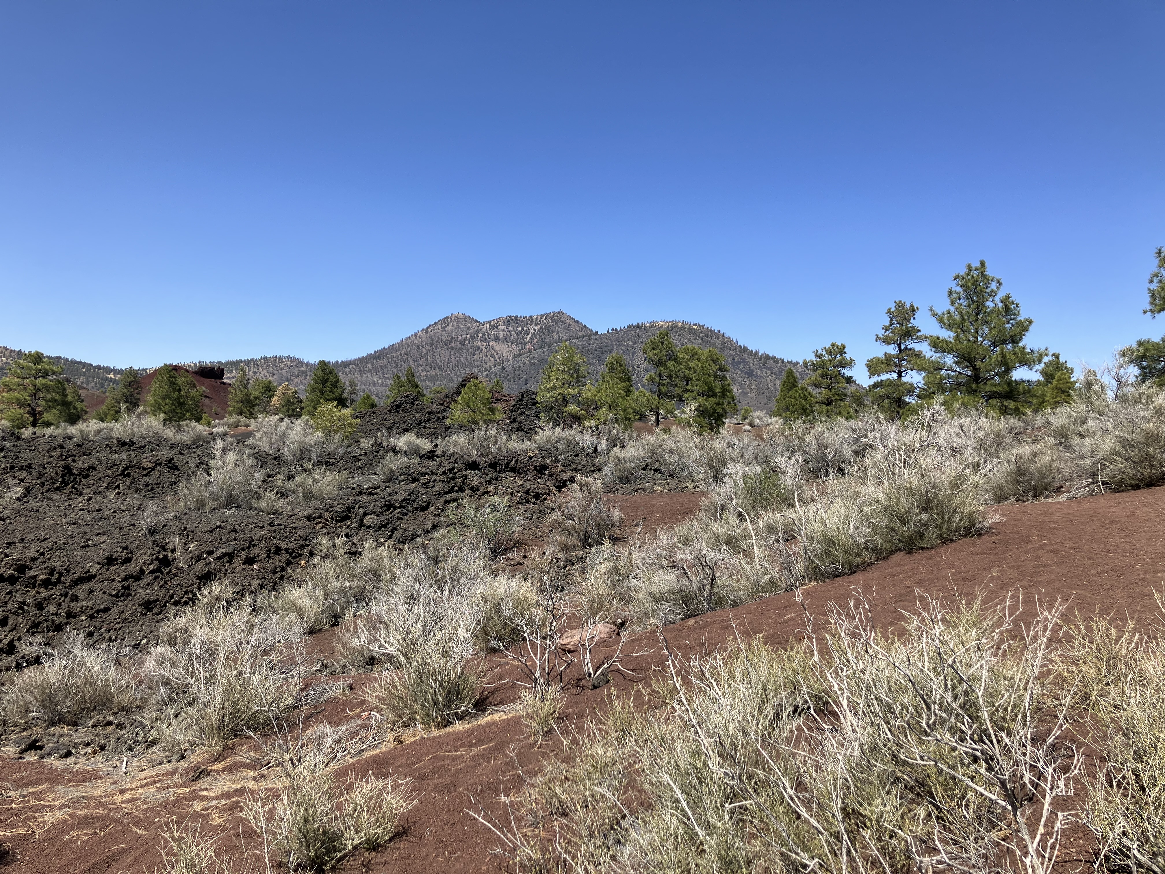
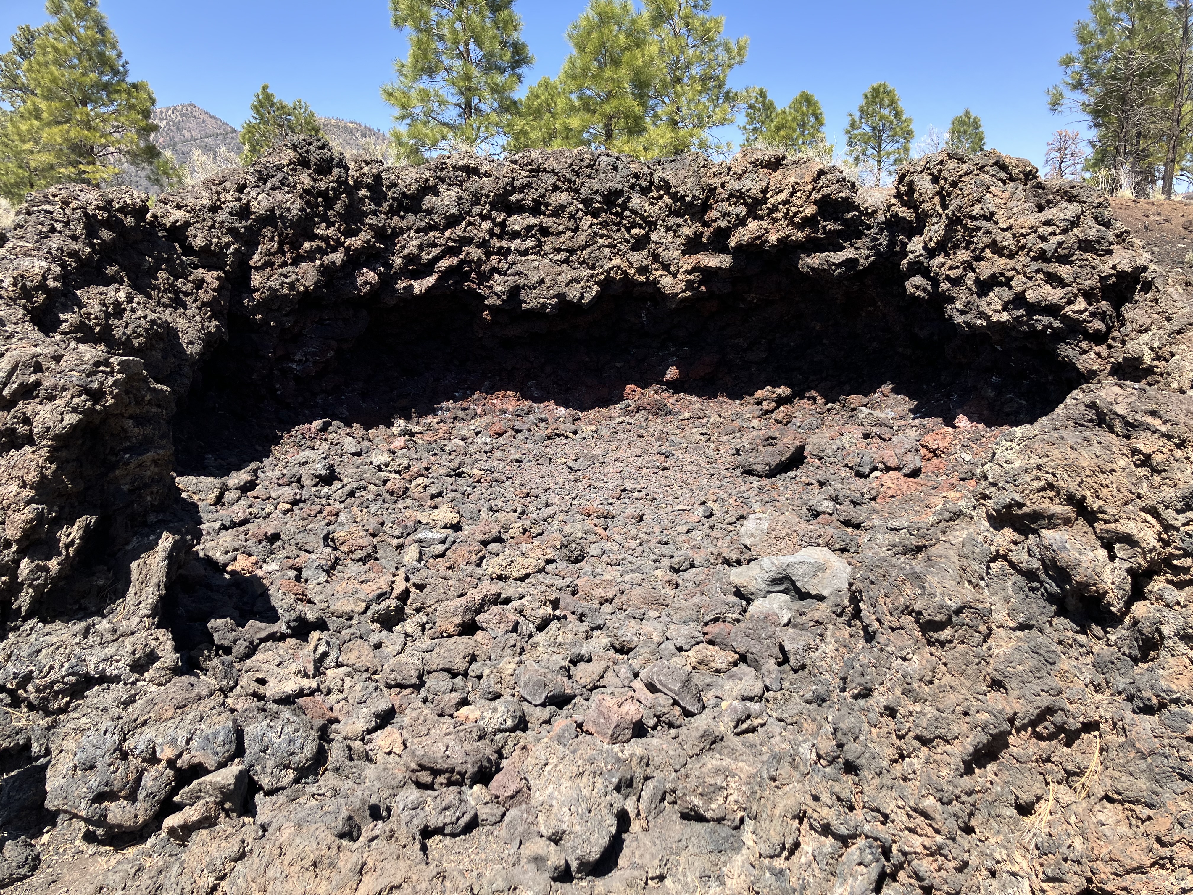
Sunset Crater Volcano National Monument,
arriving just after noon. There is a lot of volcanic rock in the area from
past volcanoes. The first photo shows
(what is left of) Lenox Crater
in the middle and San Francisco Peaks
in the distance.
 |
 |
 |
 |
 |
 |
 |
 |
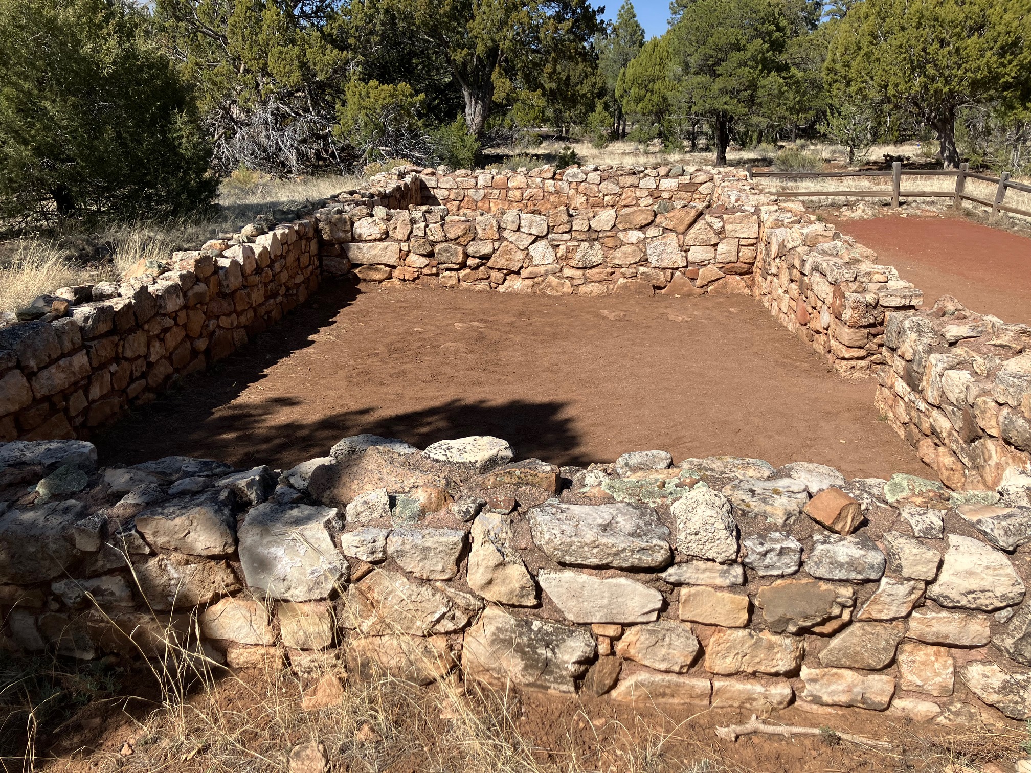
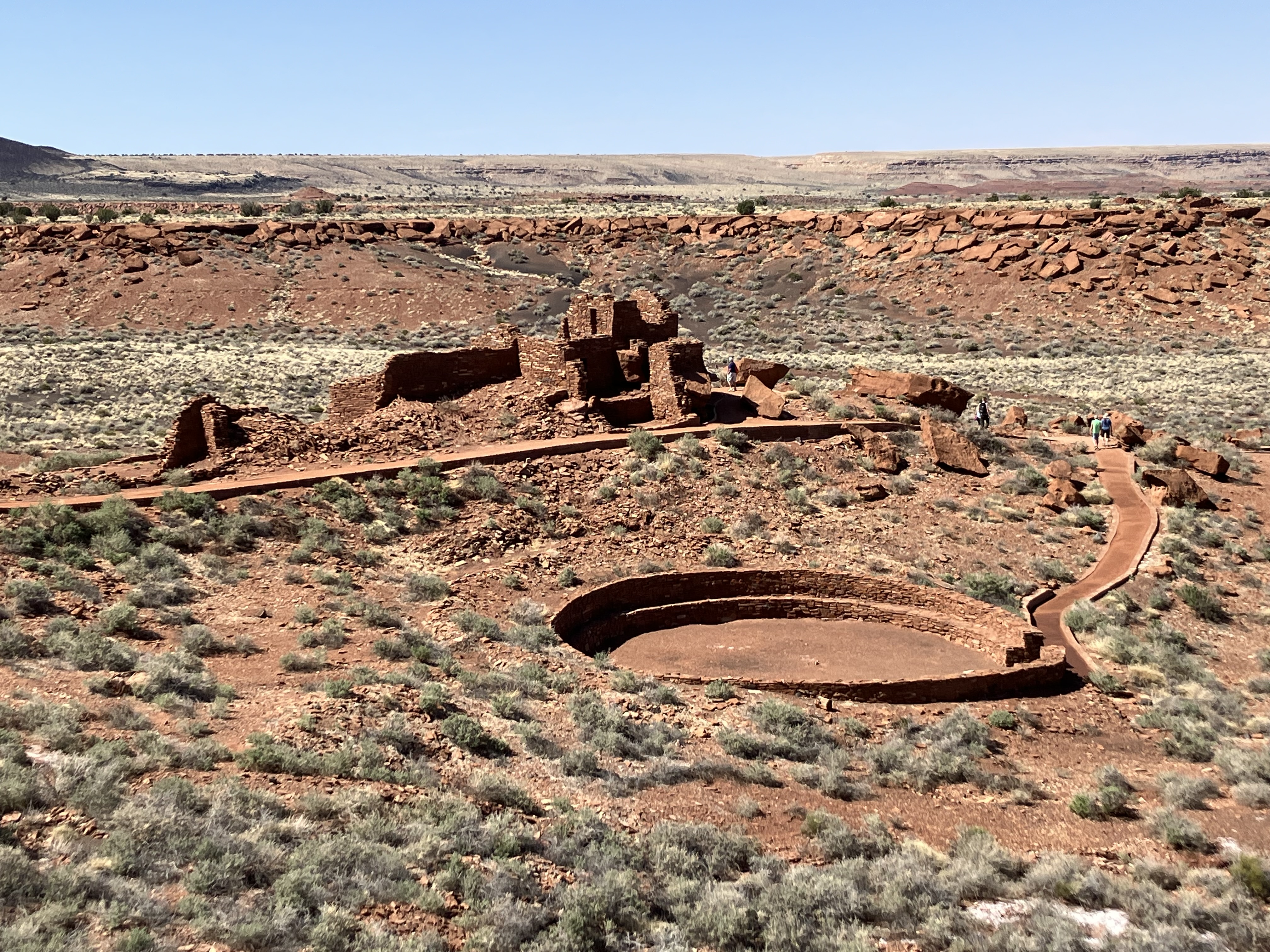
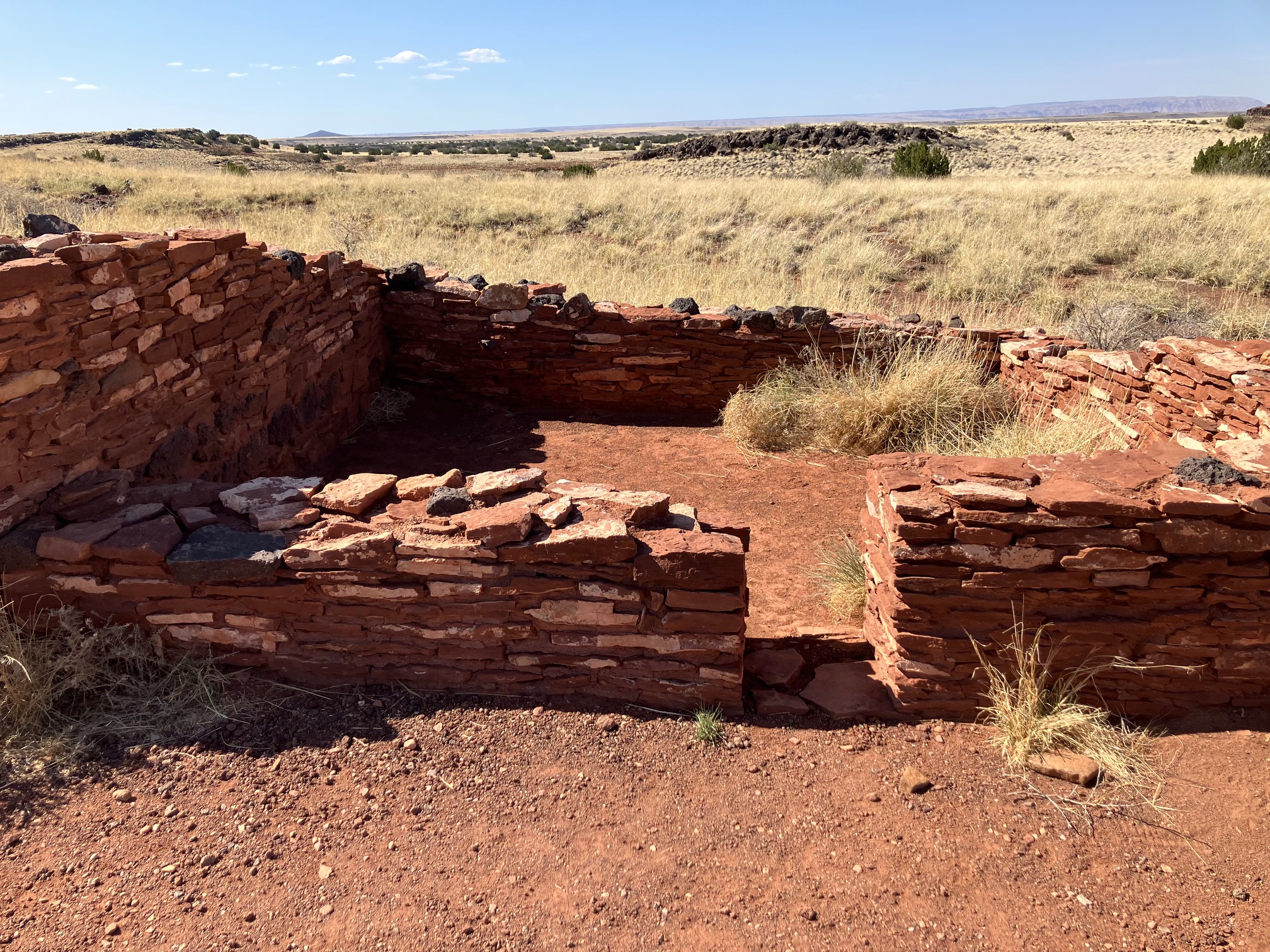
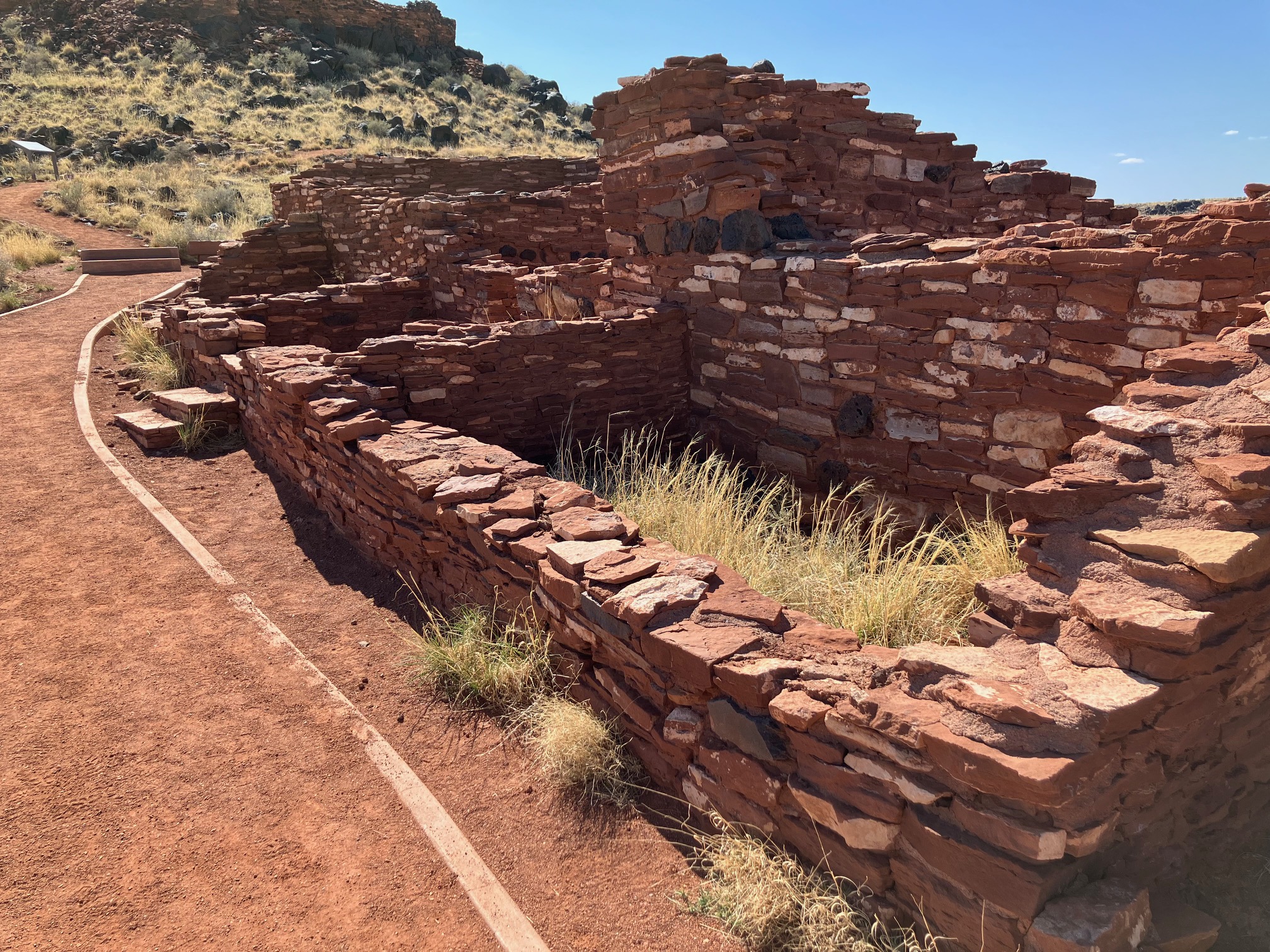
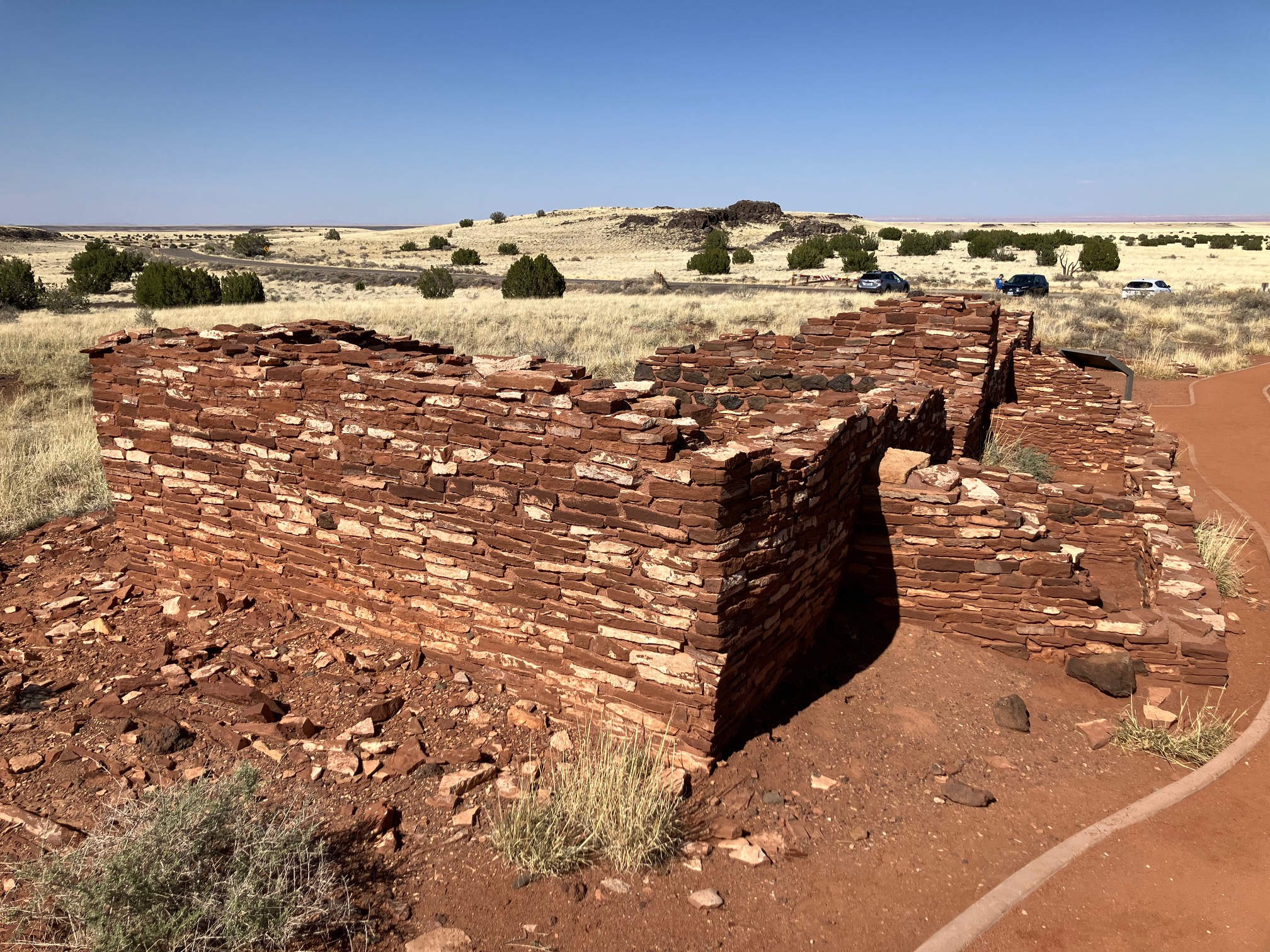
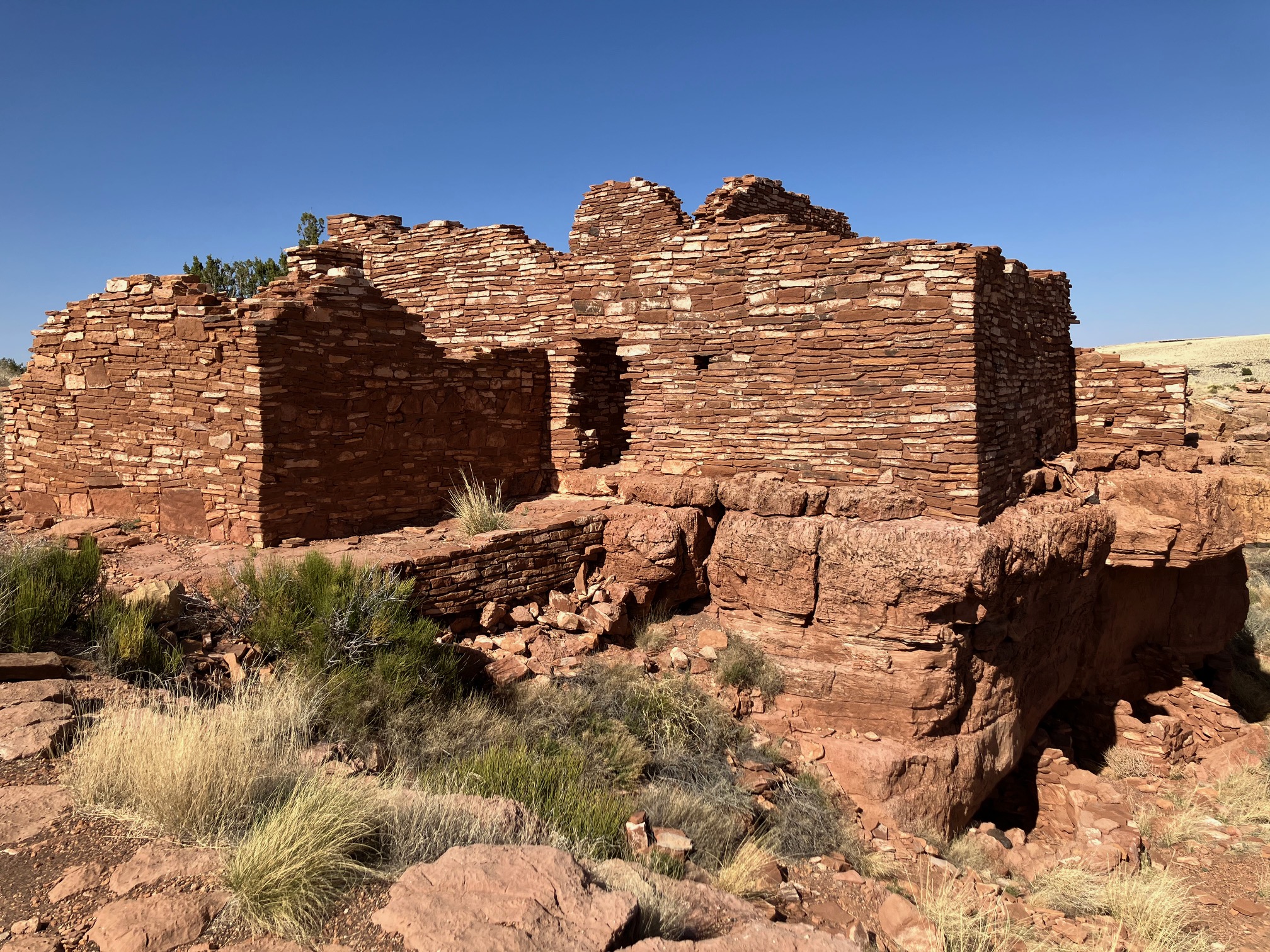
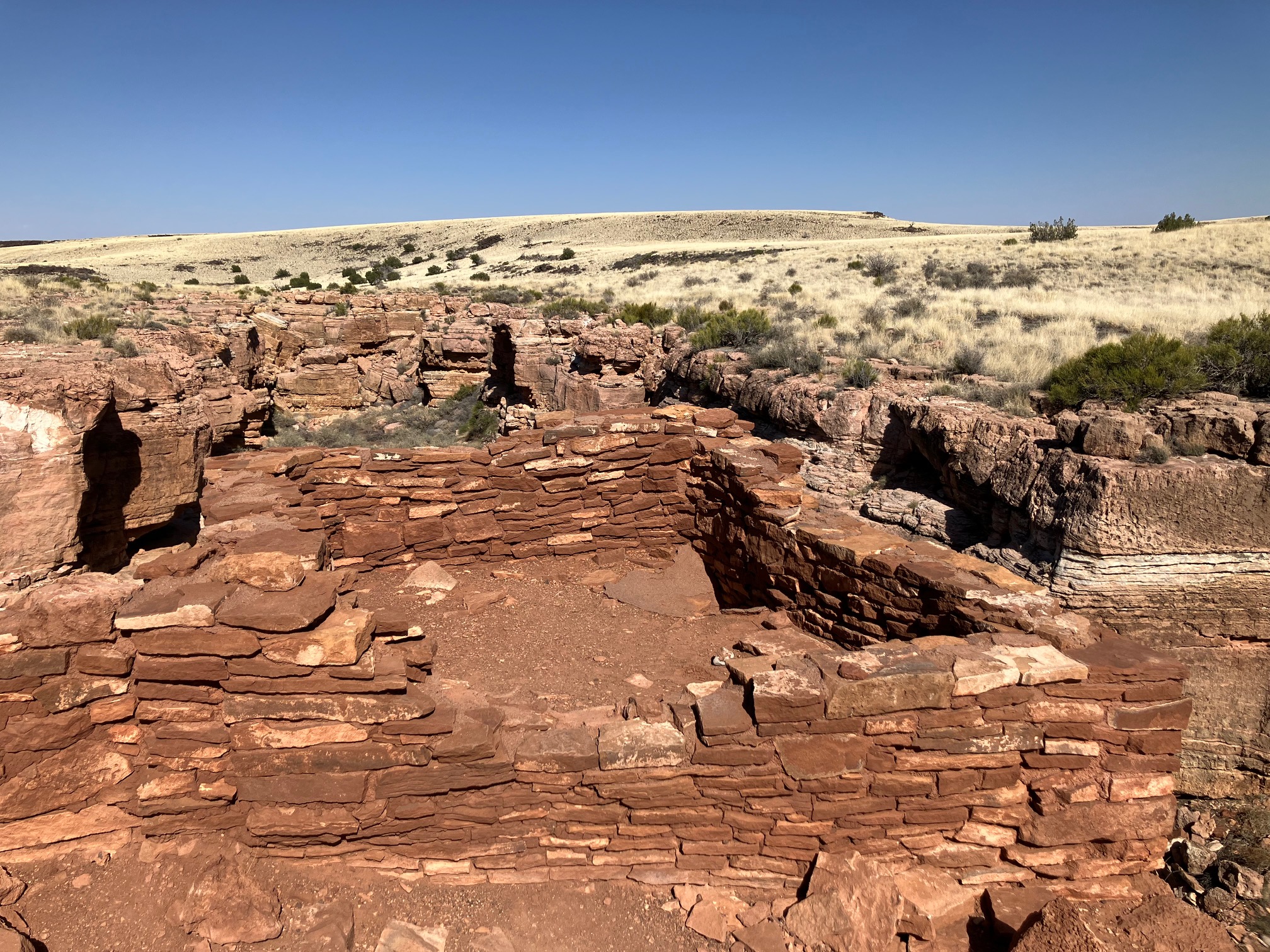
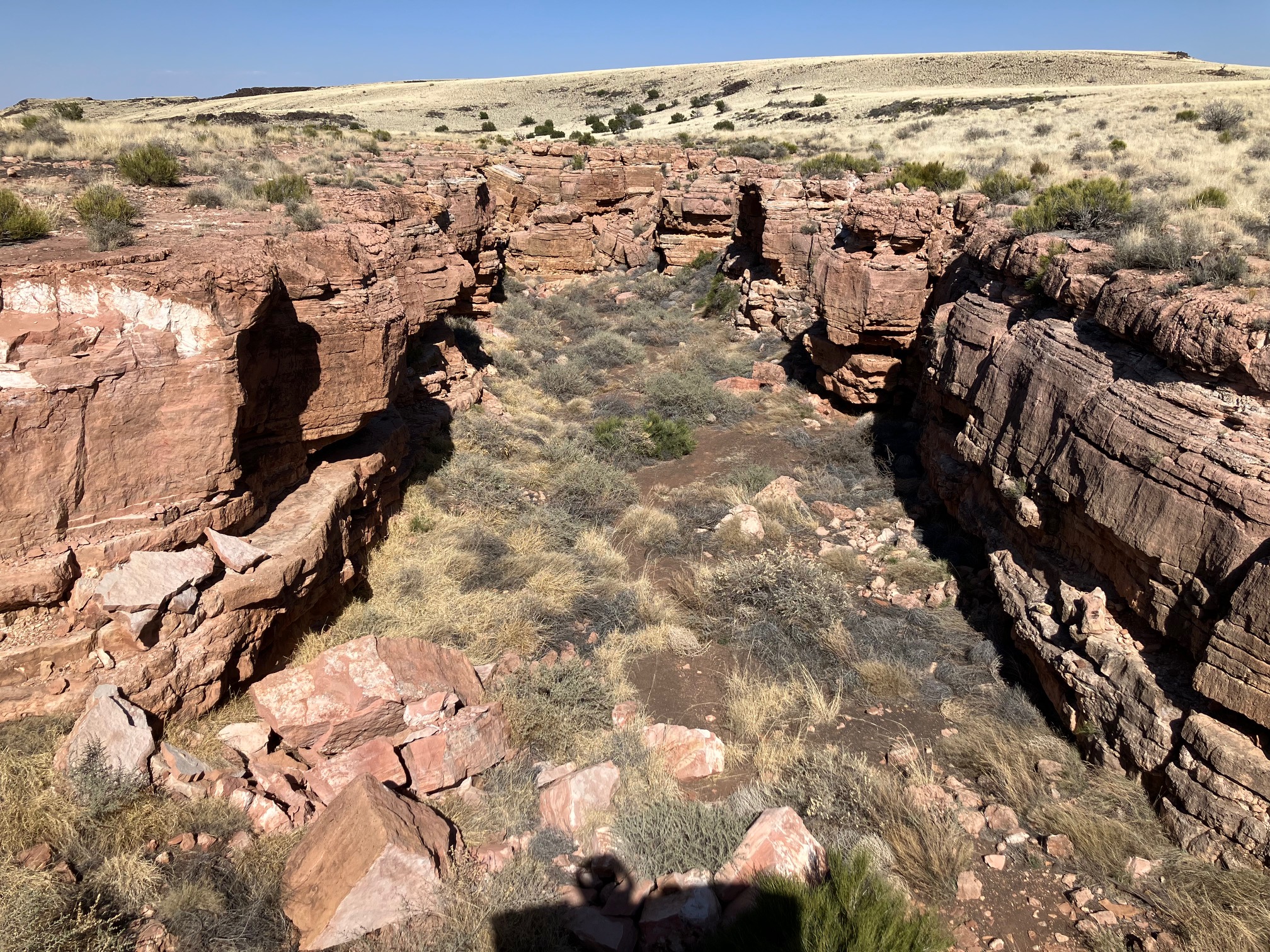
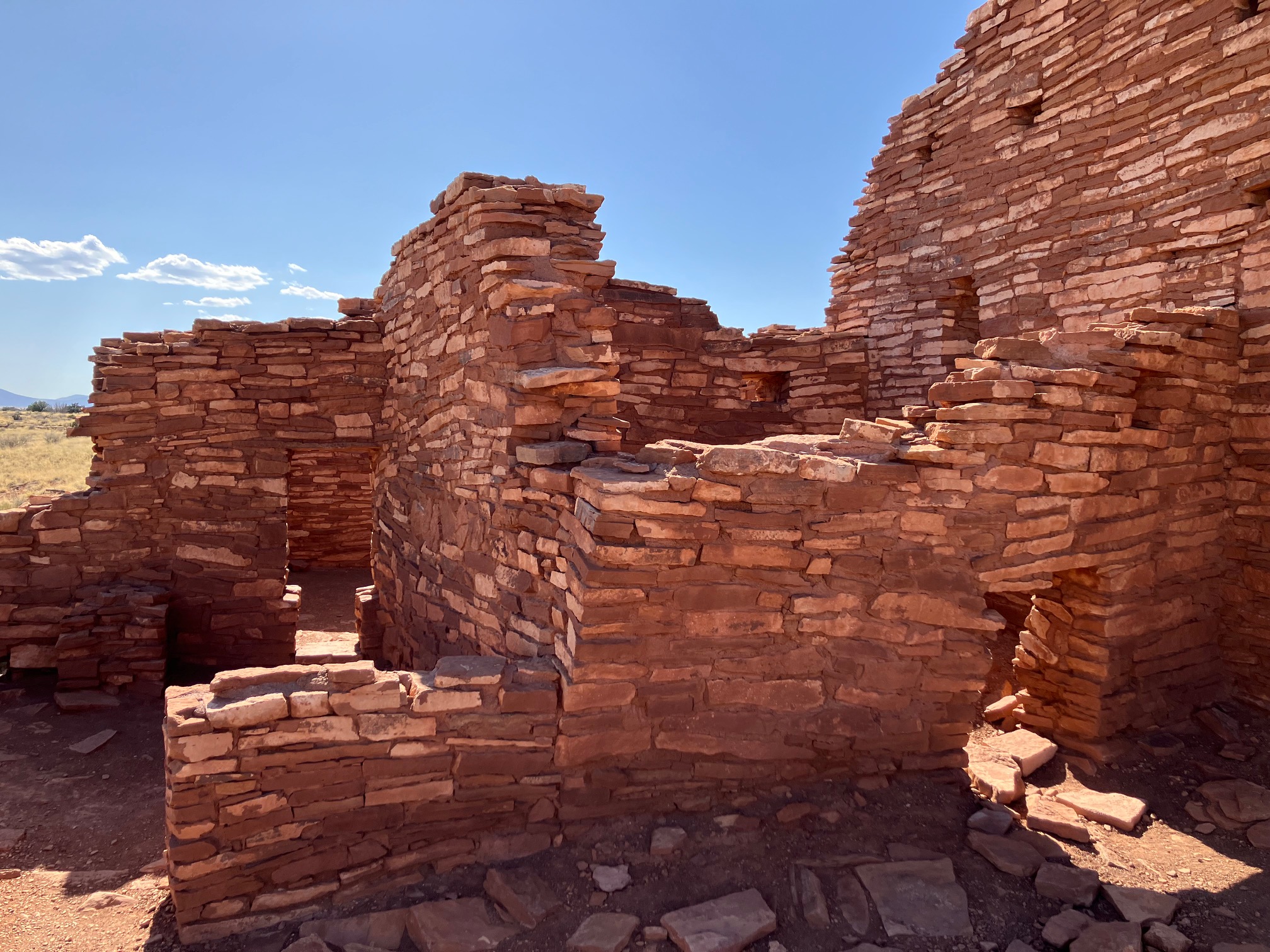
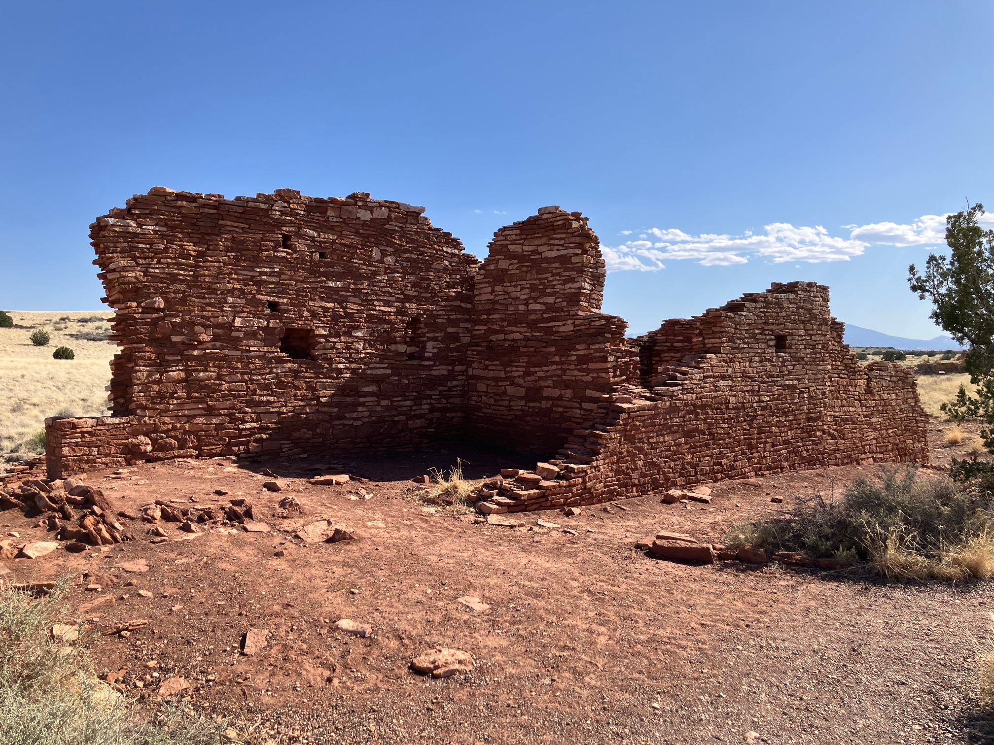
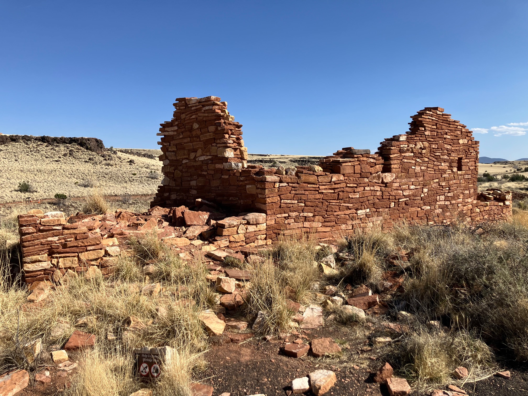
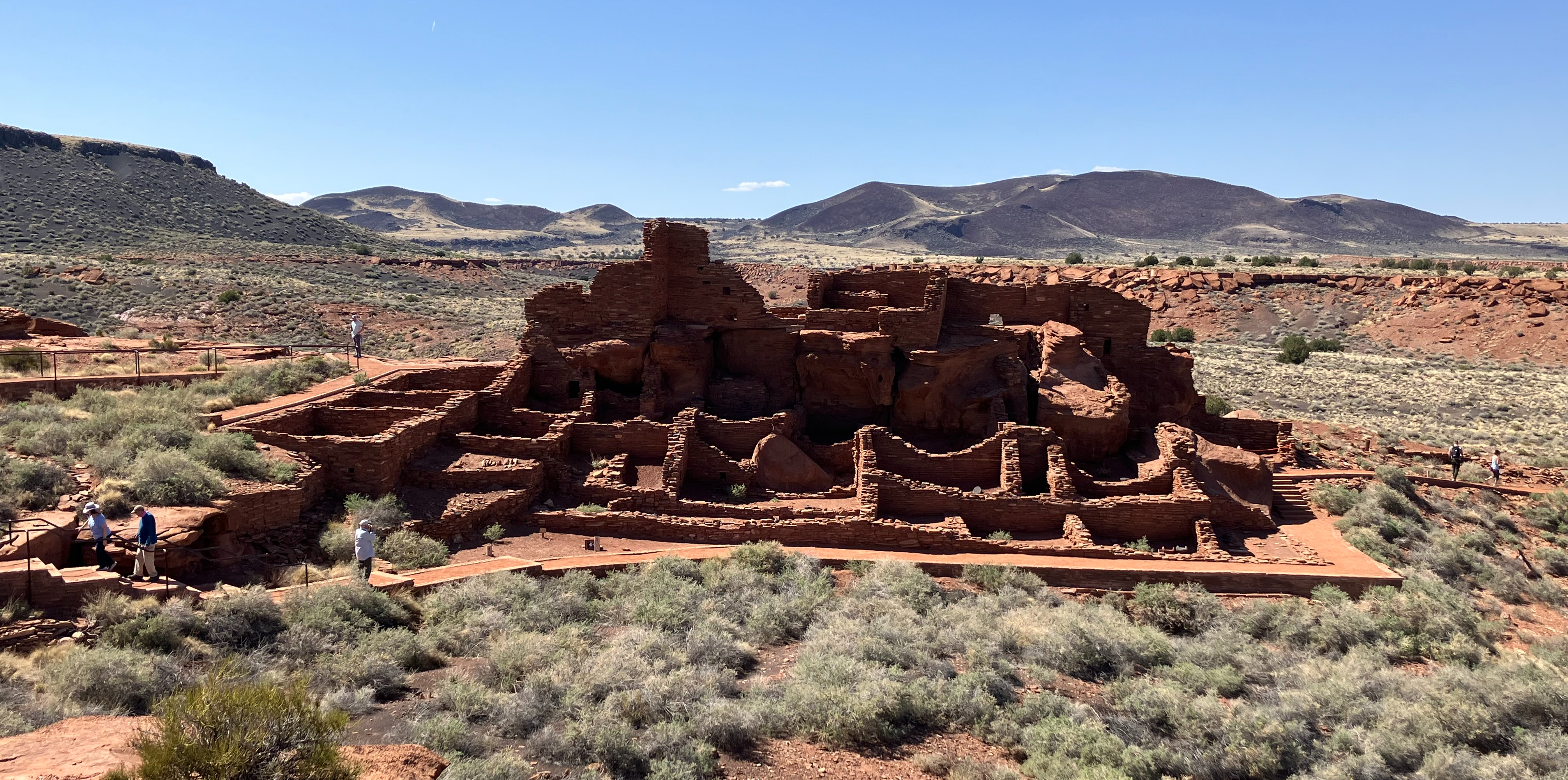
Not far away is Wupatki National Monument.
It has some nice scenery...
 |
 |
 |
 |
...as well as pueblo ruins.
 |
 |
 |
 |
 |
 |
 |
 |
 |
 |
 |
When I got back to Flagstaff at 4:45 it was 82 degrees (and I think I had to stop at every
red light on the way).
Dropped my vehicle at the motel, showered, and wrote for a while. Wasn't hungry
so I didn't eat. Walked to
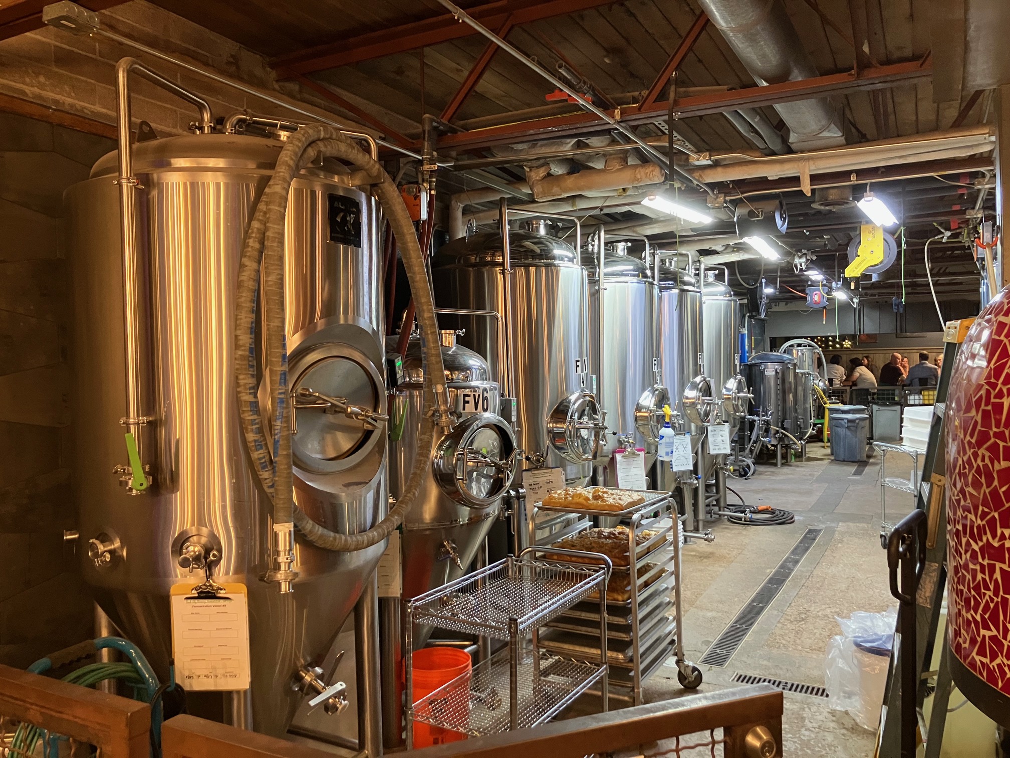
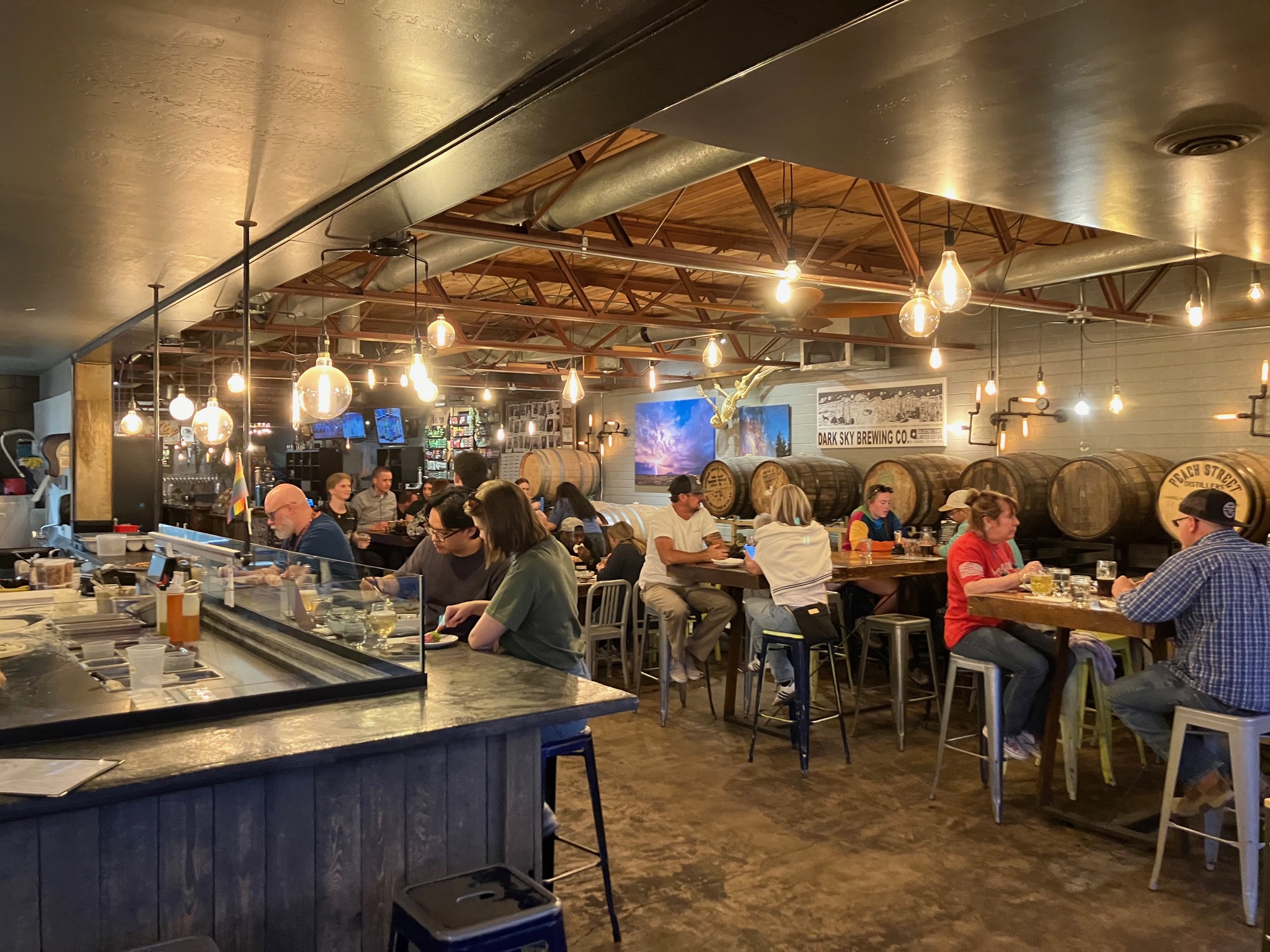
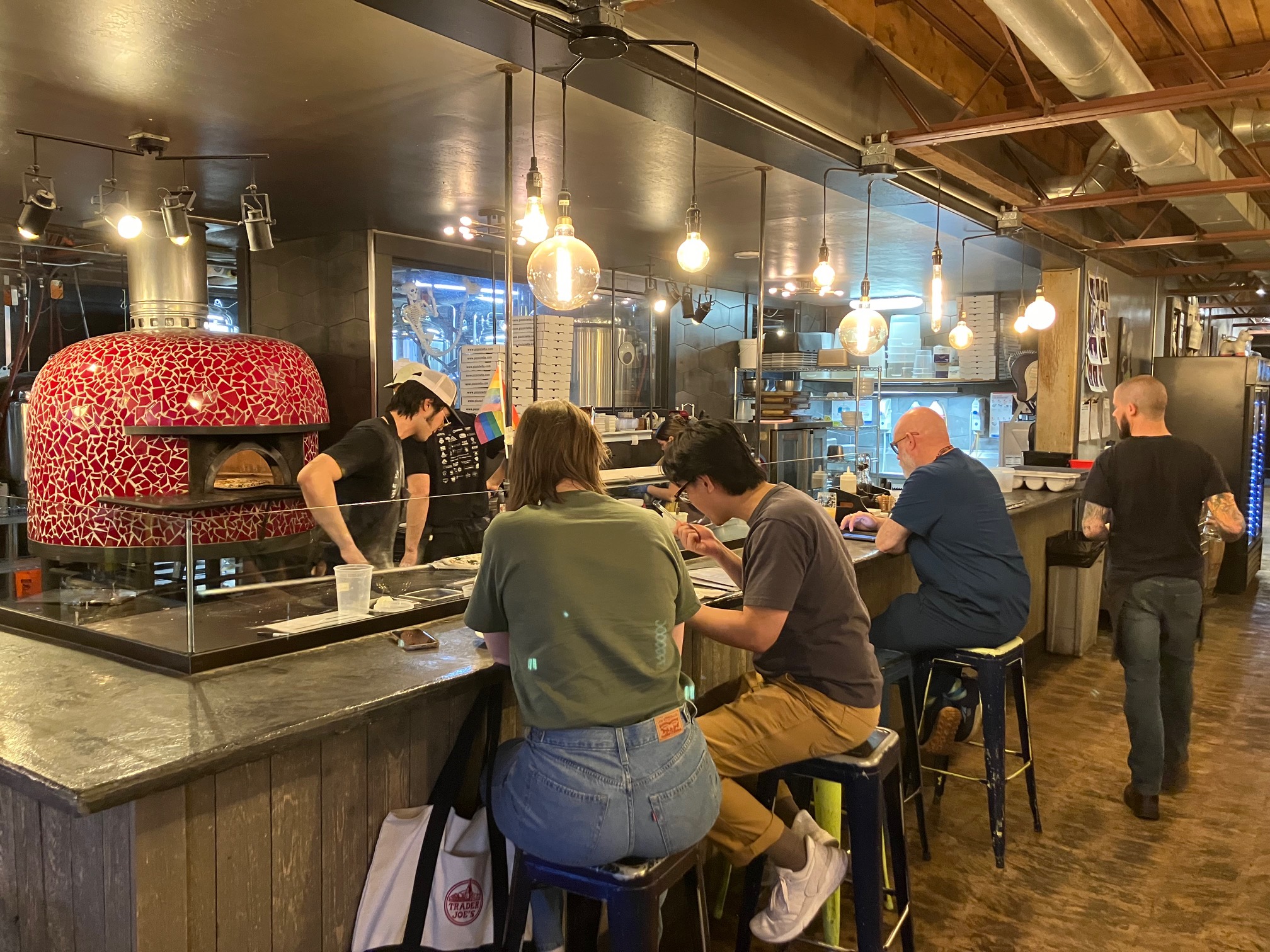
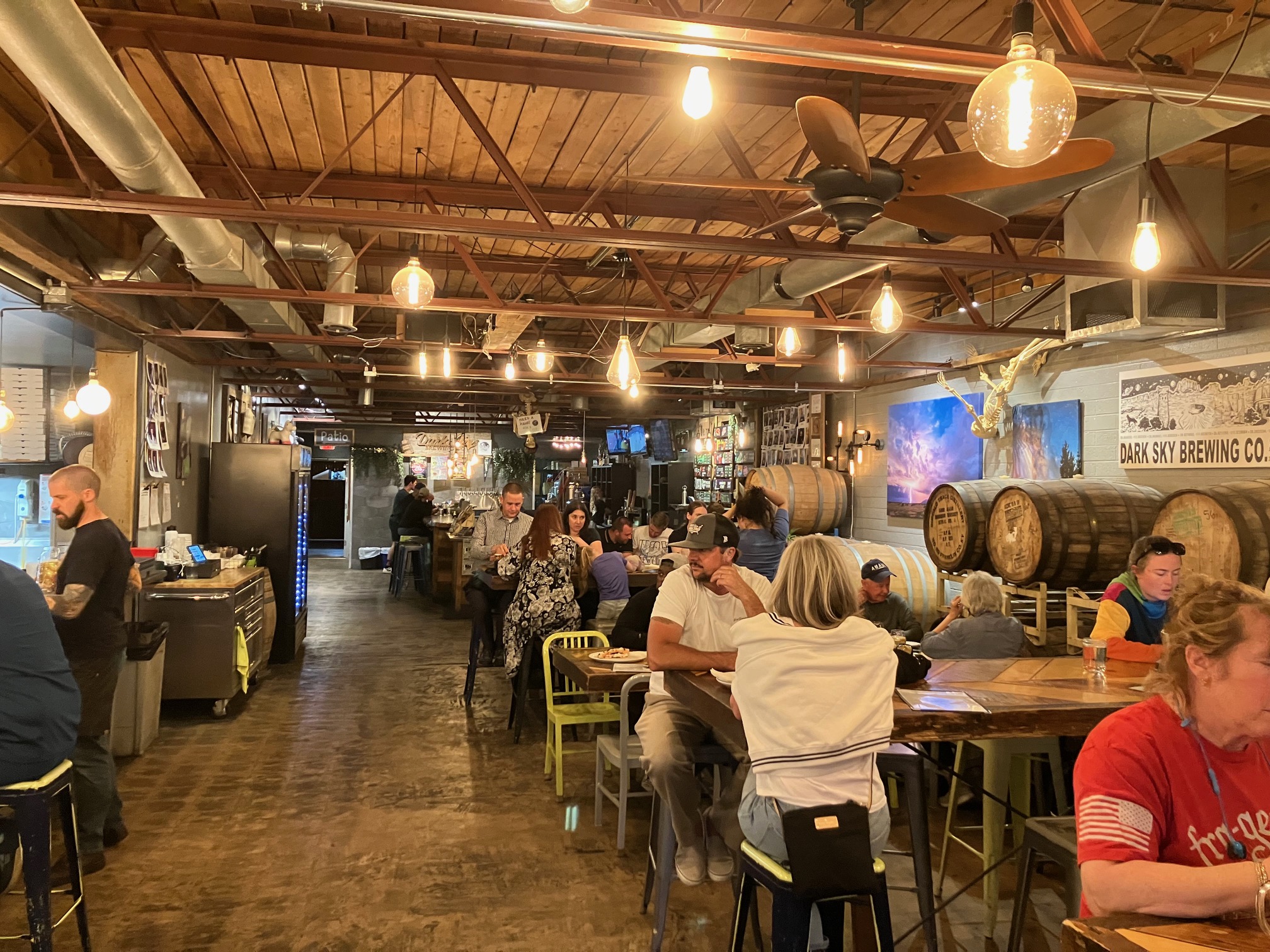
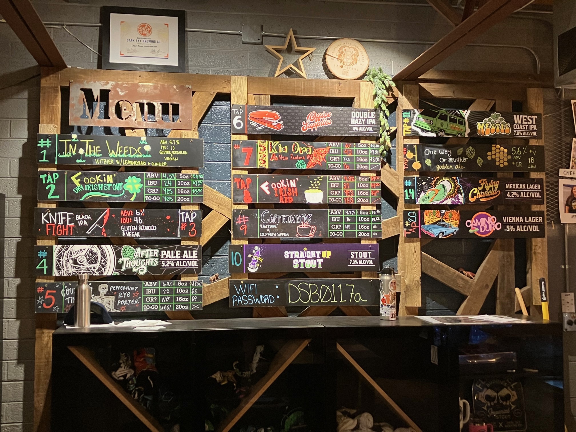
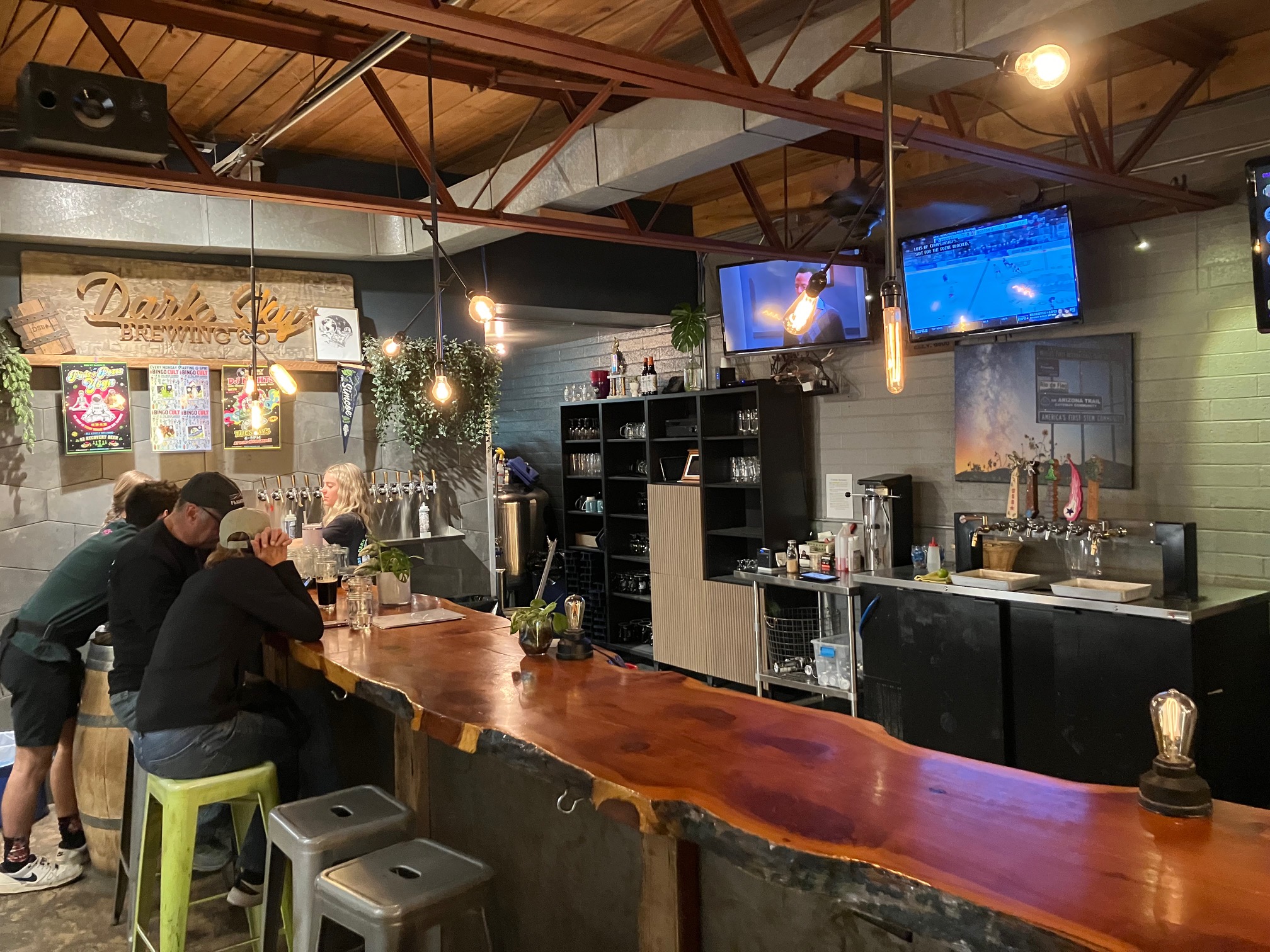
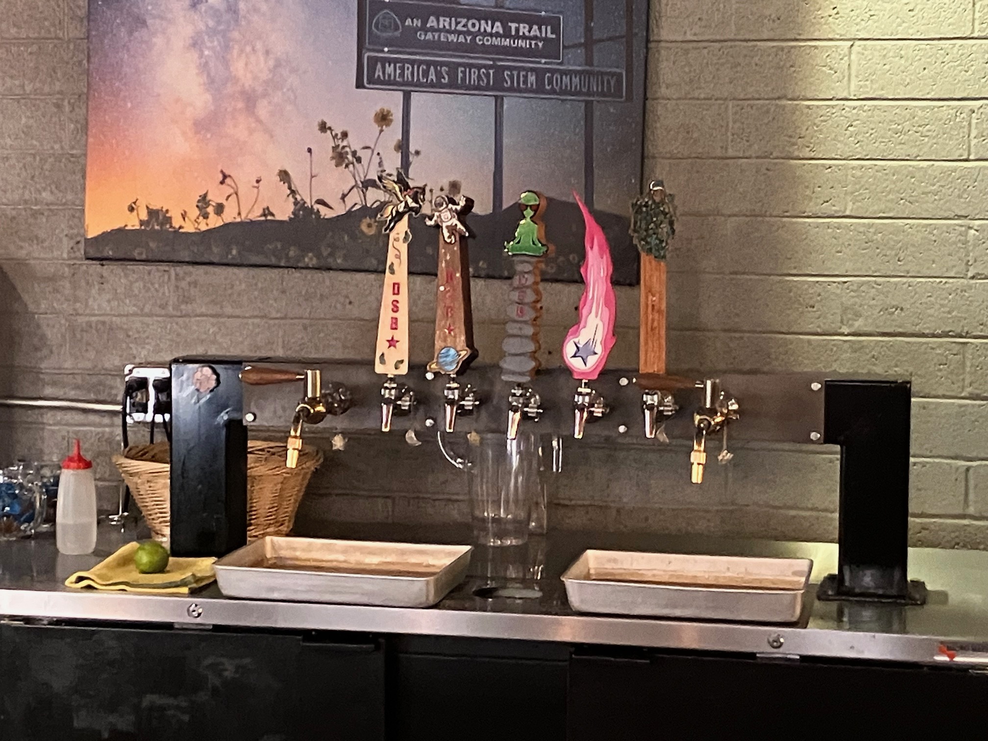
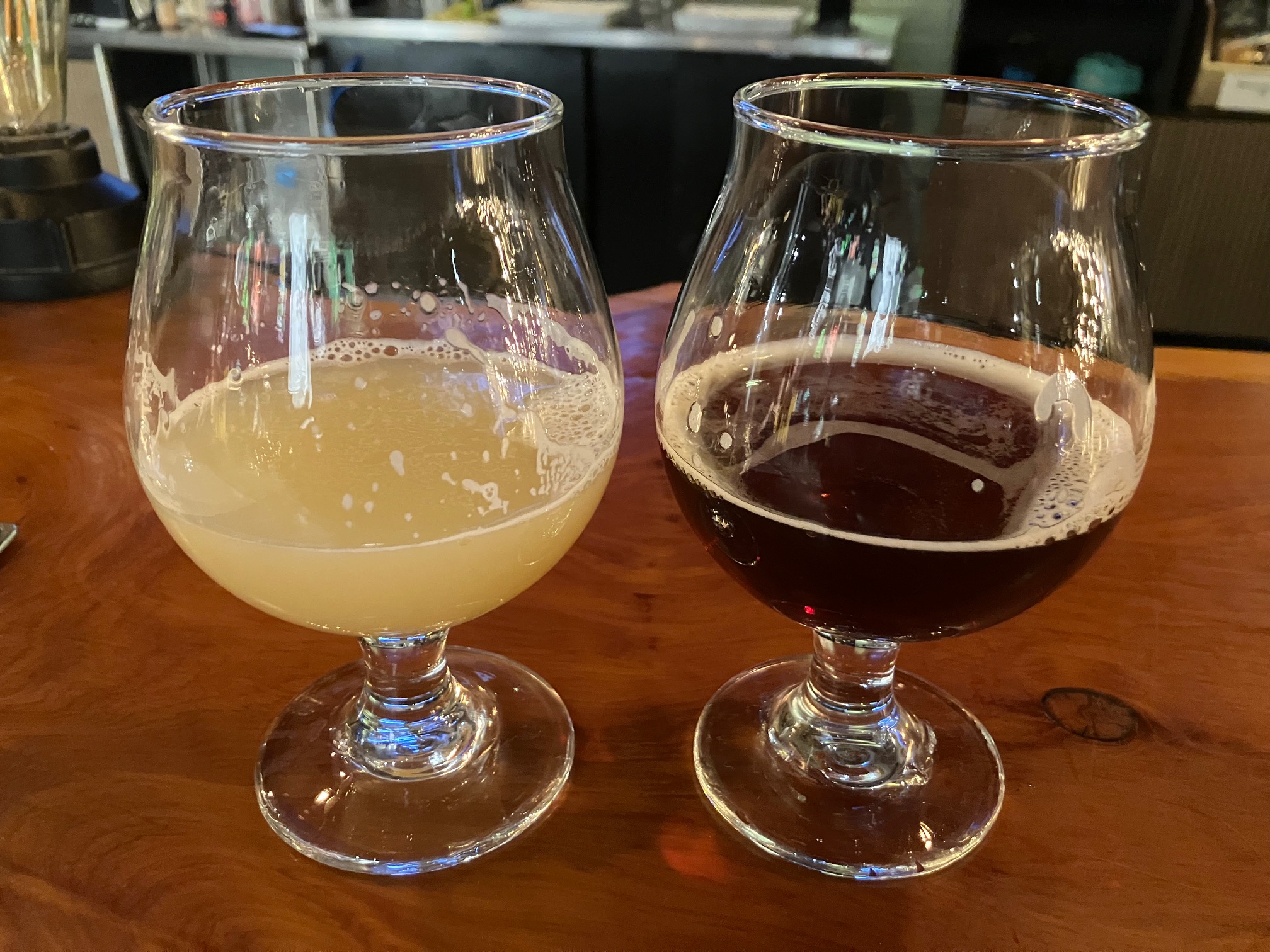
Dark Sky Brewing just before 7:00.
It shares a space with a pizza restarant called
Pizzicletta. I ordered:
 |
 |
 |
 |
 |
 |
 |
 |
Returned to the motel at 7:30. Note:
there are a lot of loud vehicles in Flagstaff. Do they not have mufflers?
I was exhausted from 10+ miles of hiking. Hit the hay at 8:20. Woke up sometime between 10:30 and 11:00 PM and couldn't get back to sleep. Was it because of the caffeine in the lagerwine?
Friday April 11. Left at 4:30 AM. My paper directions came in handy even though I had
cell service because usually Google Maps is unable to tell me which way to turn until I've
driven a bit and it can determine which way my vehicle is headed.
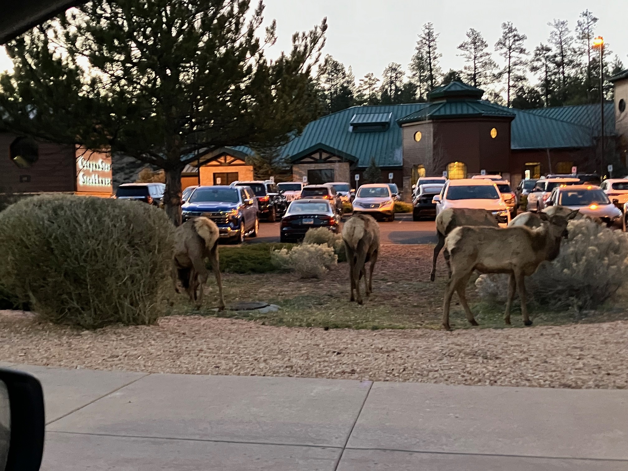
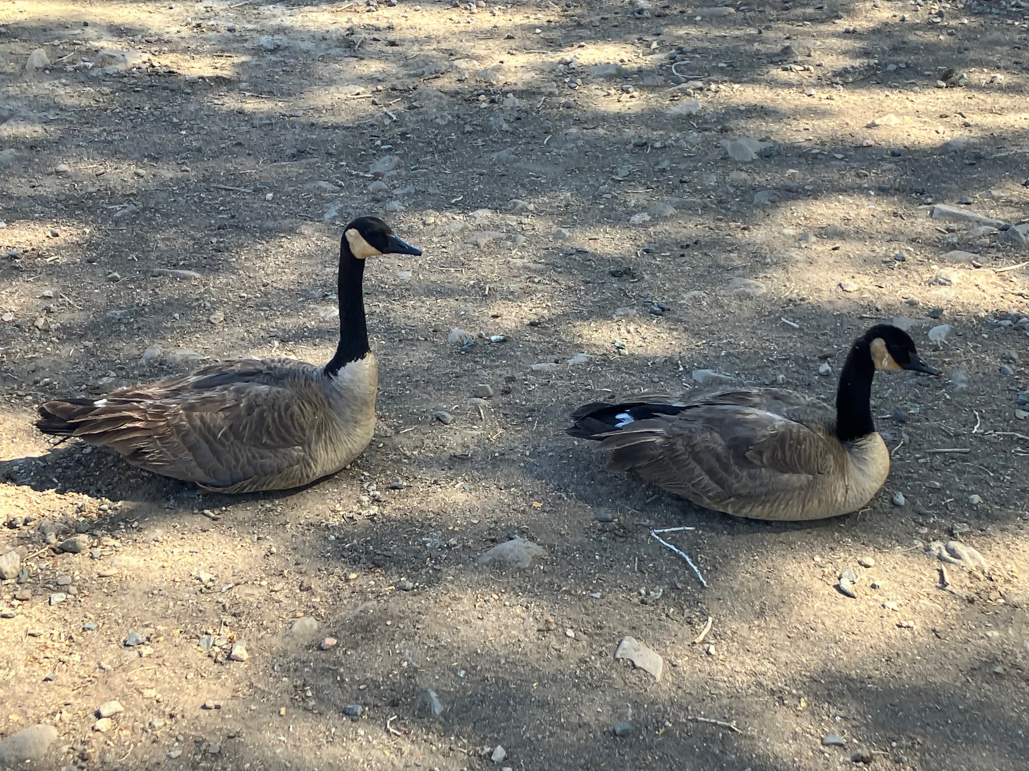
Went an hour and a half north to Grand Canyon National Park. When I drove
through Grand Canyon Village, where it was 35 degrees, these characters crossed the street.
 |
Got to the visitor center parking area just before 6:00, took one of the free shuttles to
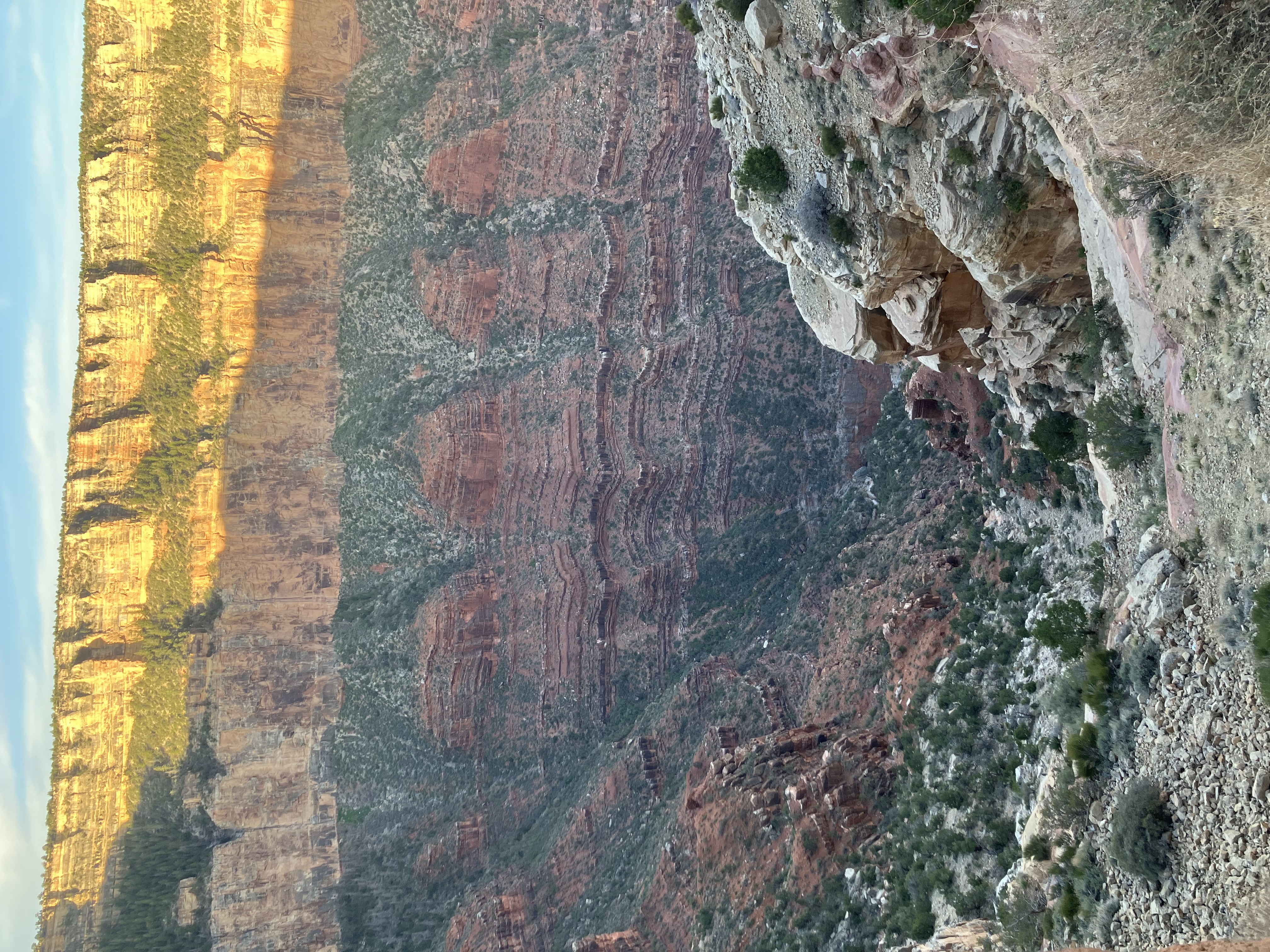
the South Kaibab Trailhead, and started hiking at 6:30. This very popular trail is a steep hike that
goes deep into the canyon. It's out-and-back so you can descend as far as you want and then come
back up. I did a 3-mile round trip.
 |
 |
 |
 |
 |
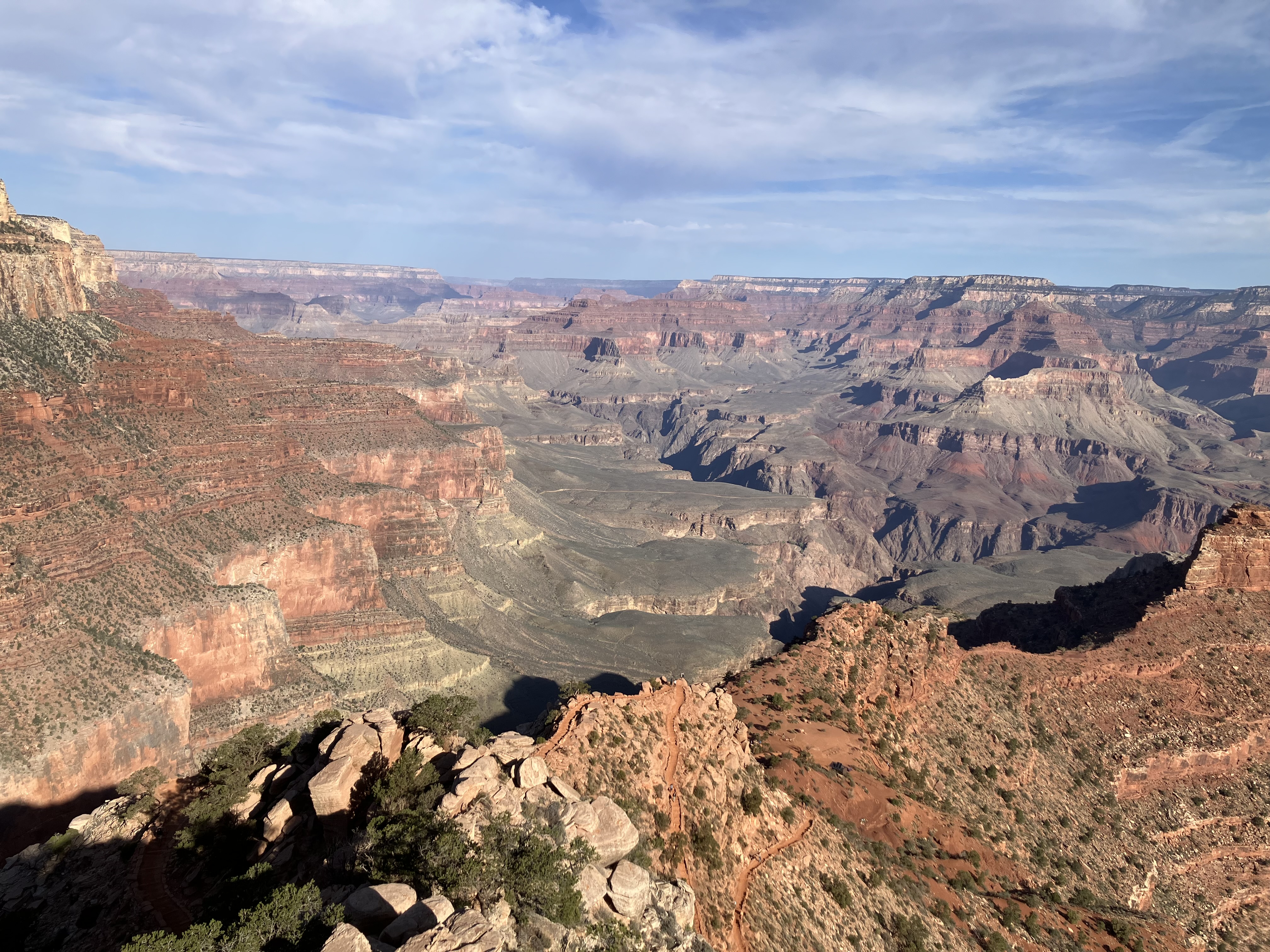
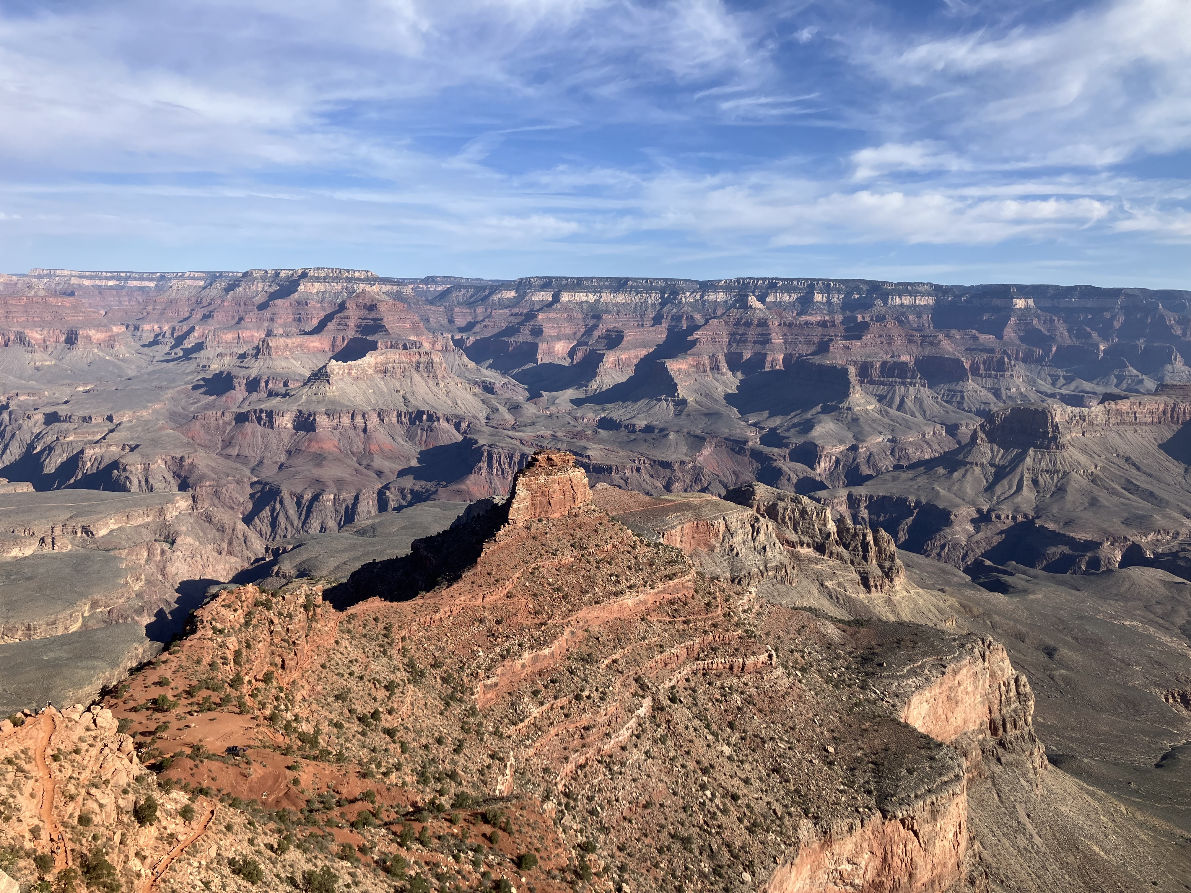
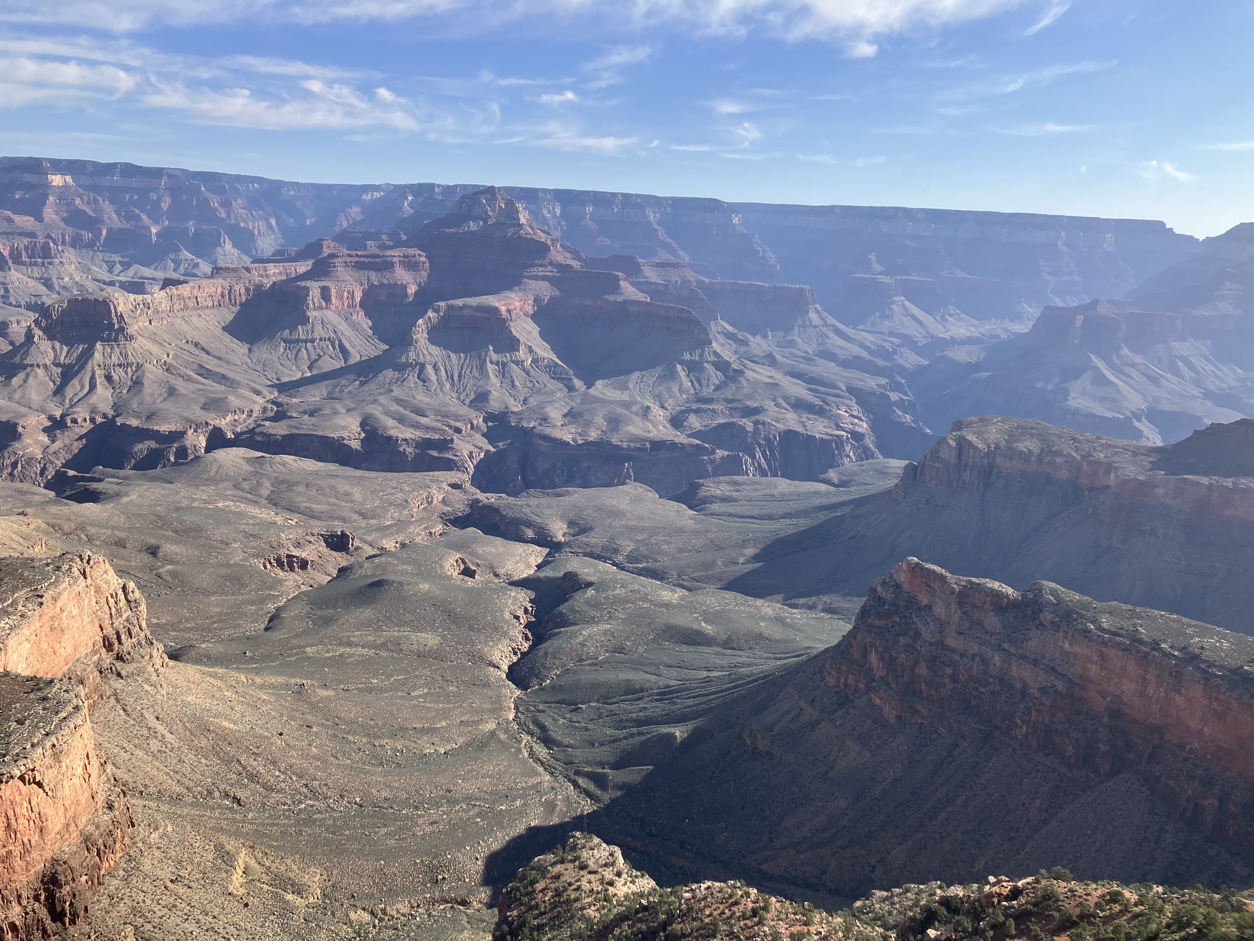
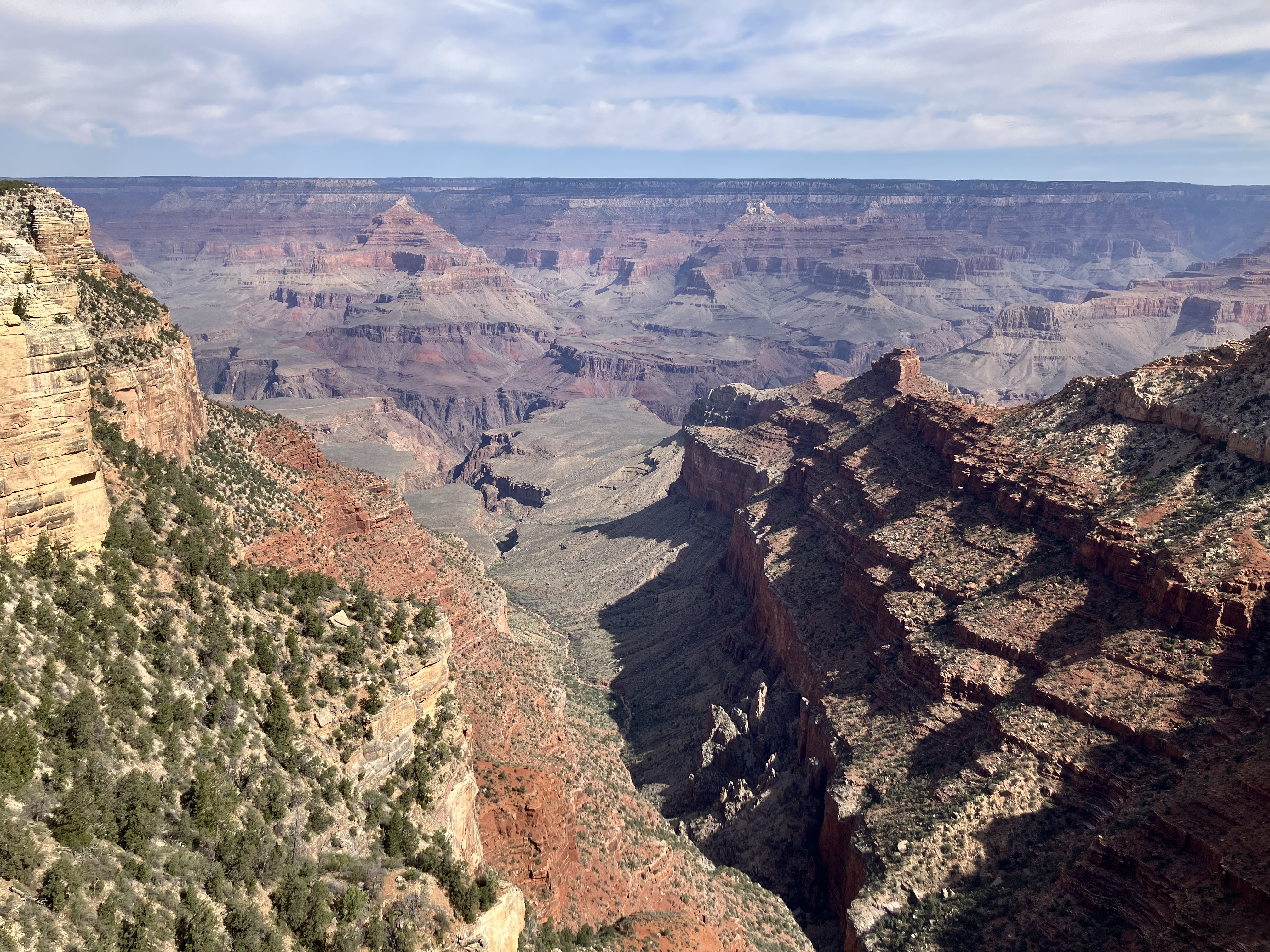
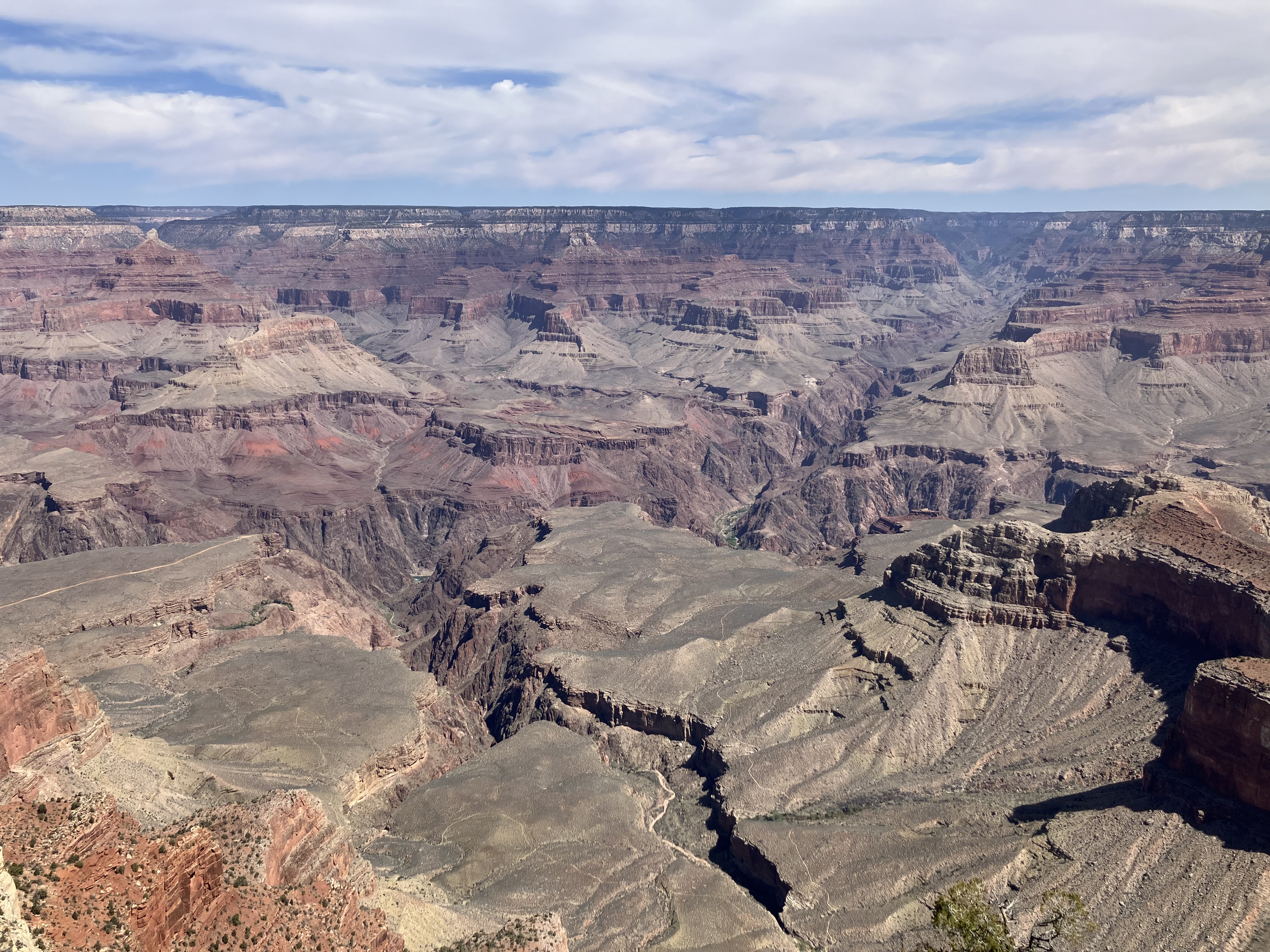
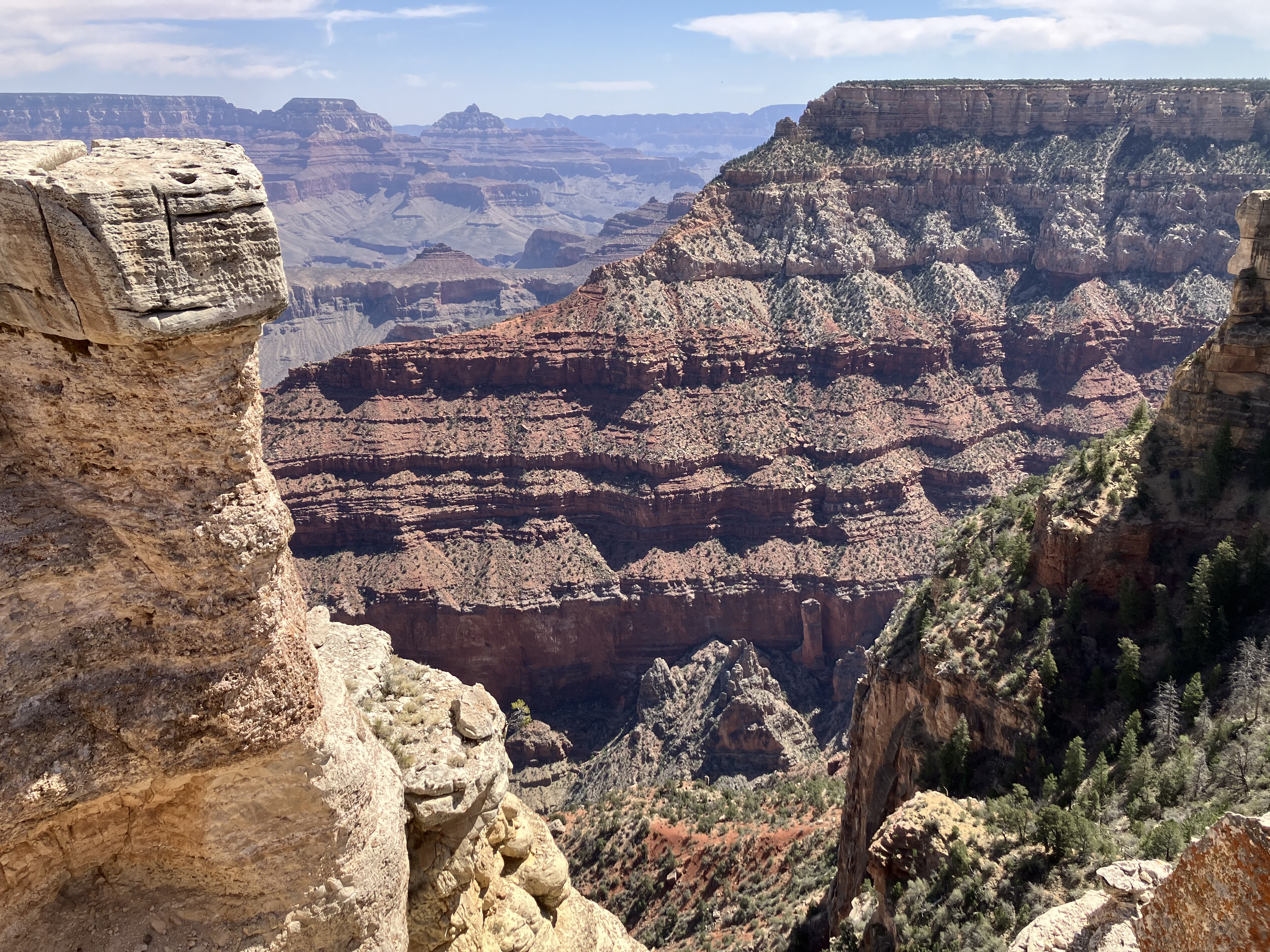
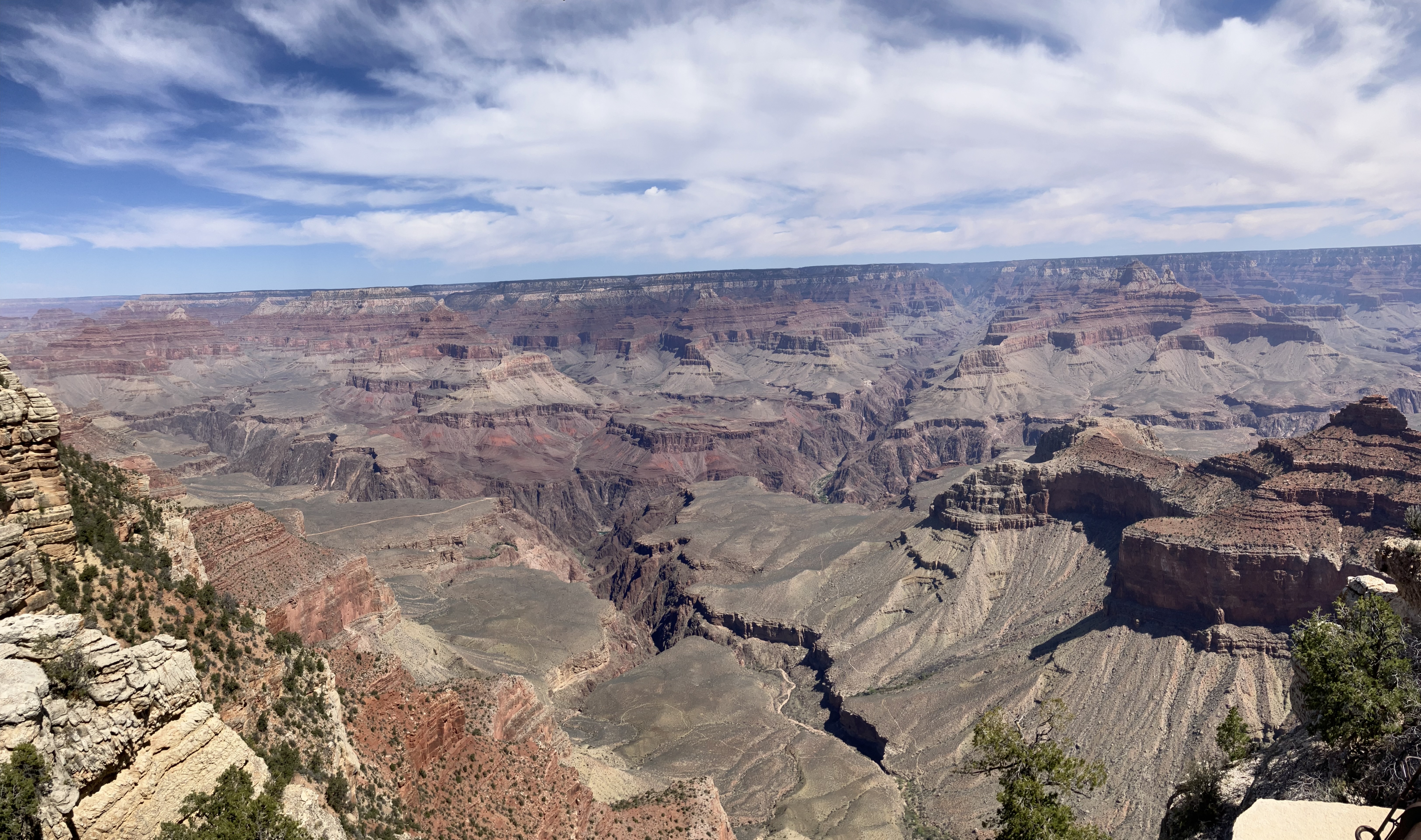
Got back up to the top at 8:50, then hiked part of the Rim Trail, which goes around the top of the canyon.
The latter 3 photos in this set are from Mather Point, which is the most photographed place in
the canyon. My iPhone cannot do this place justice, of course. You have to be there in
order to truly experience it.
 |
 |
 |
 |
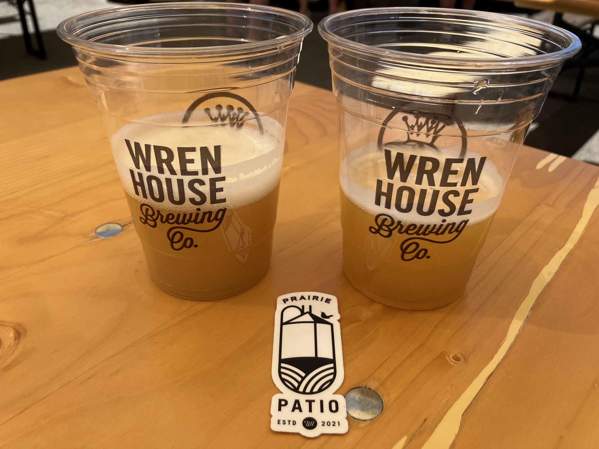
Drove down to Prescott, where it was 85 degrees, and visited
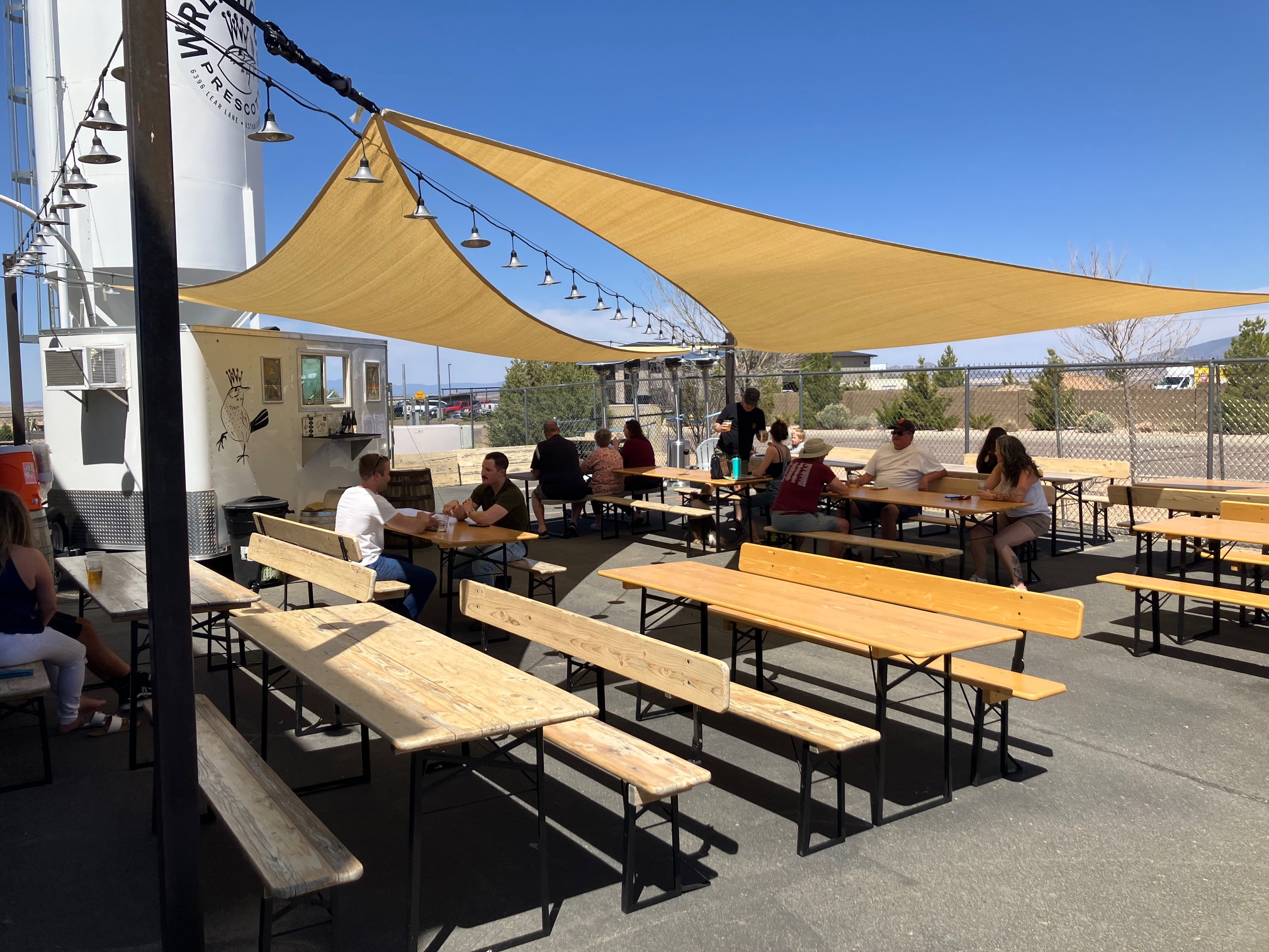
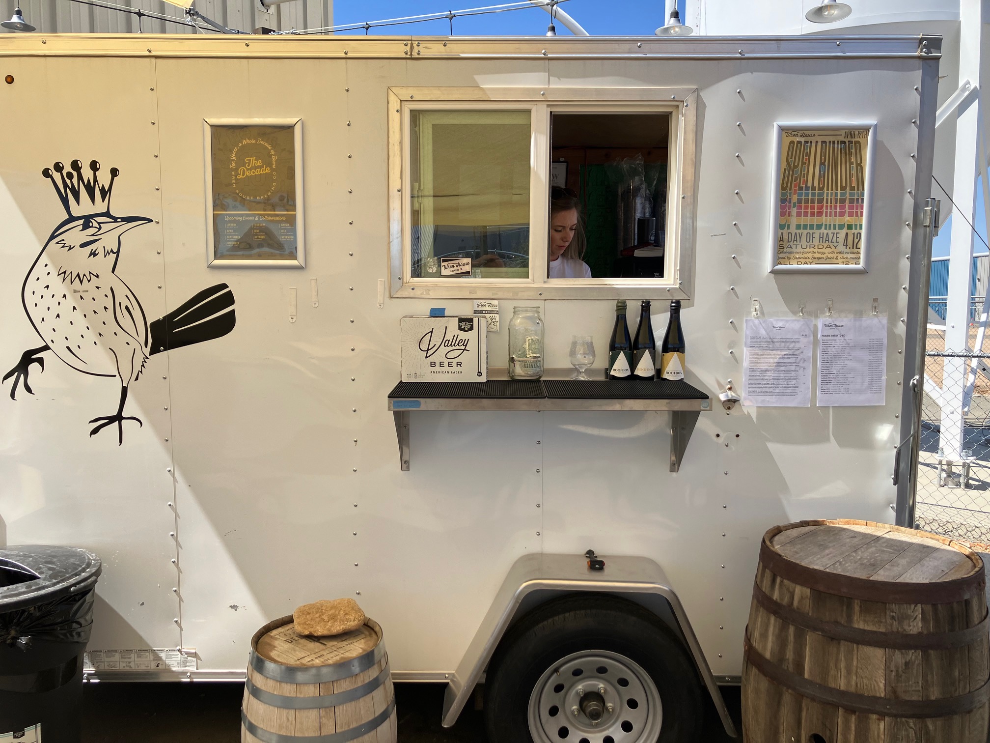
Wren House Brewing, which has 3 locations. I arrived
at their Prairie Patio at 1:45.
True to its name, it is just a patio with beer served from a food truck; there is no taproom.
As of this writing it is
open only Friday-Sunday, 12:00-5:00 each day. This is the sort of place that makes planning trips
difficult. I tried:
 |
 |
 |
 |
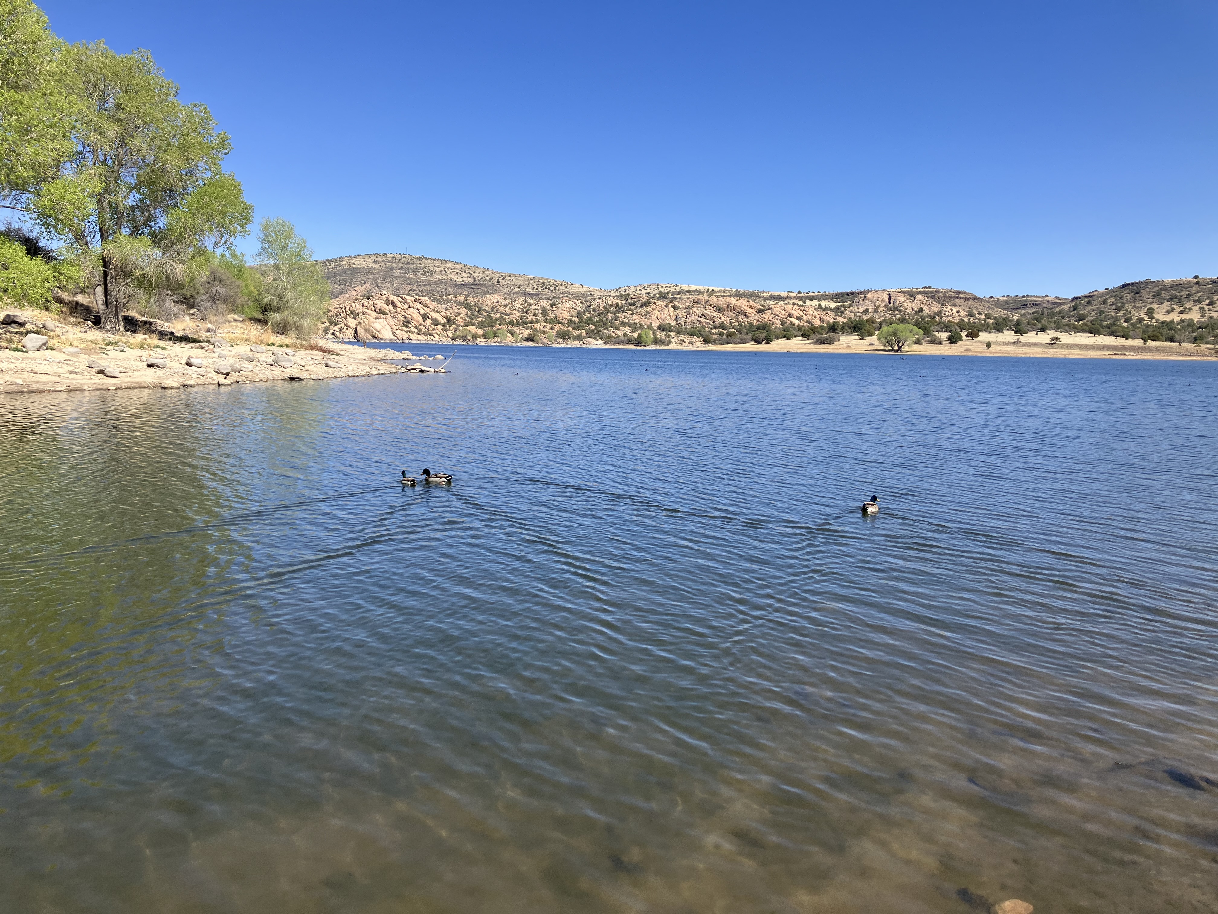
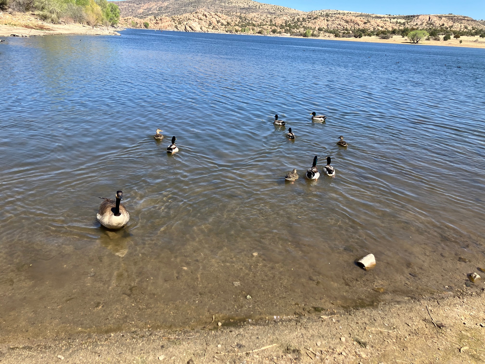
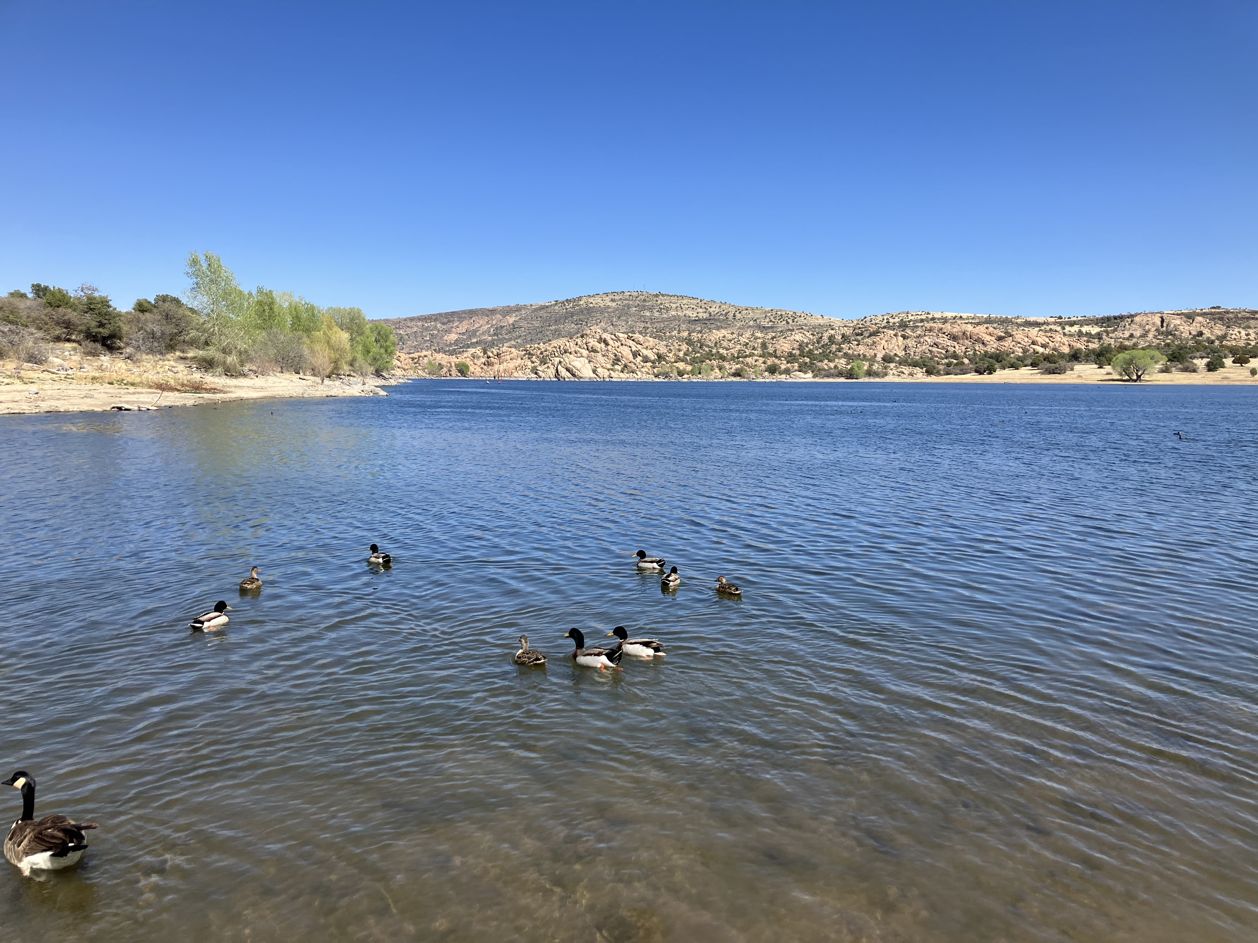
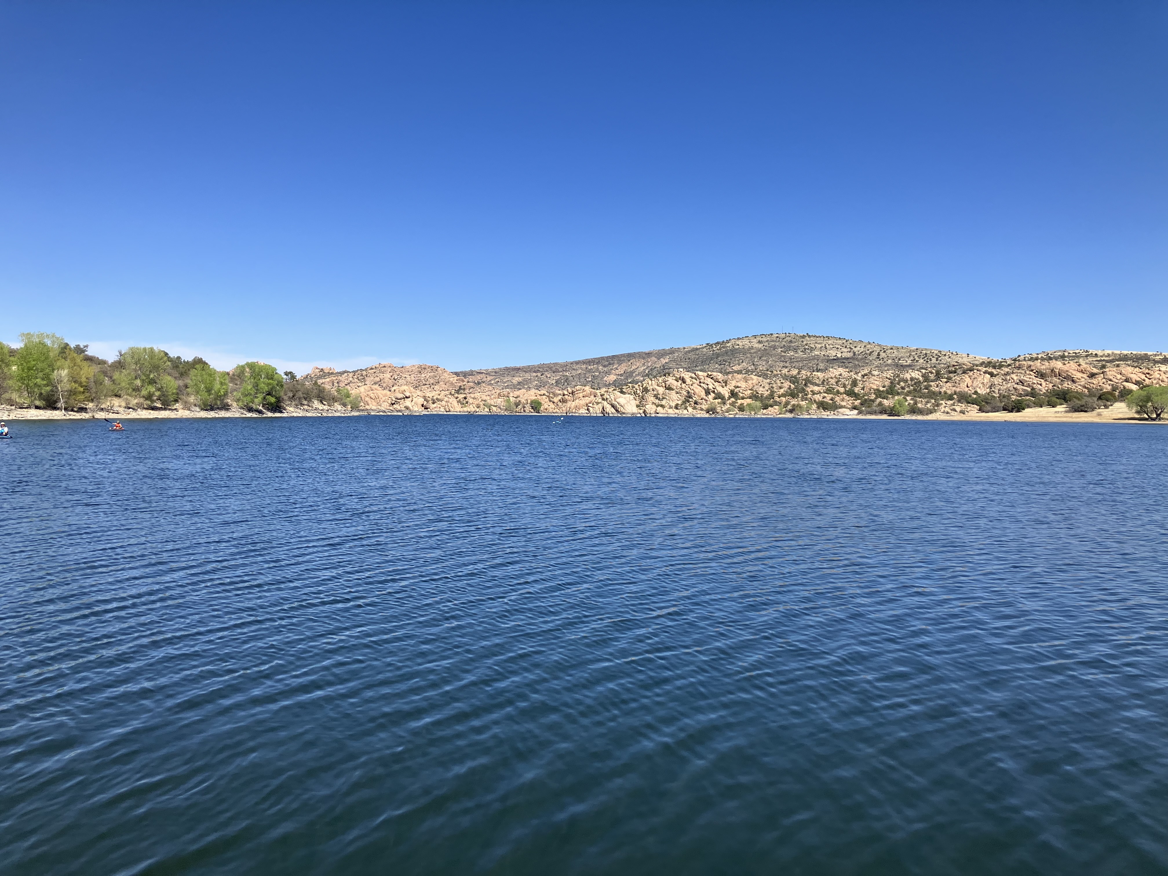
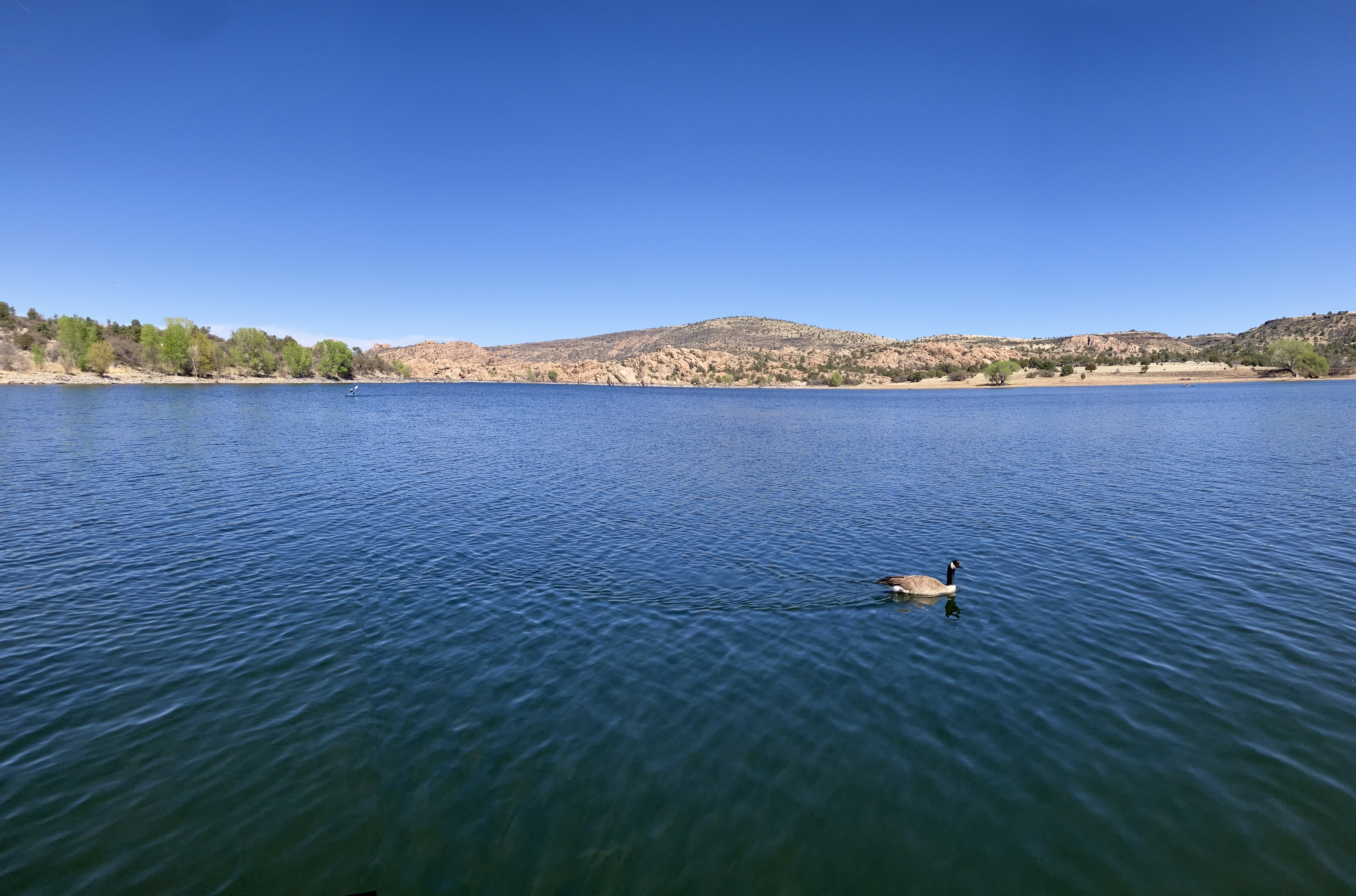
A bit south from there is
Watson Lake.
Got there at 2:30 and walked around for a while.
 |
 |
 |
 |
 |
 |
 |
 |
Drove to Kingman, checked into a
Days Inn
at 5:15, spent a few hours writing, and crashed around 9:15.
Saturday April 12. Slept until about 2:45. Had a good deep, restorative sleep, and I felt
refreshed after not having slept for 22 hours.
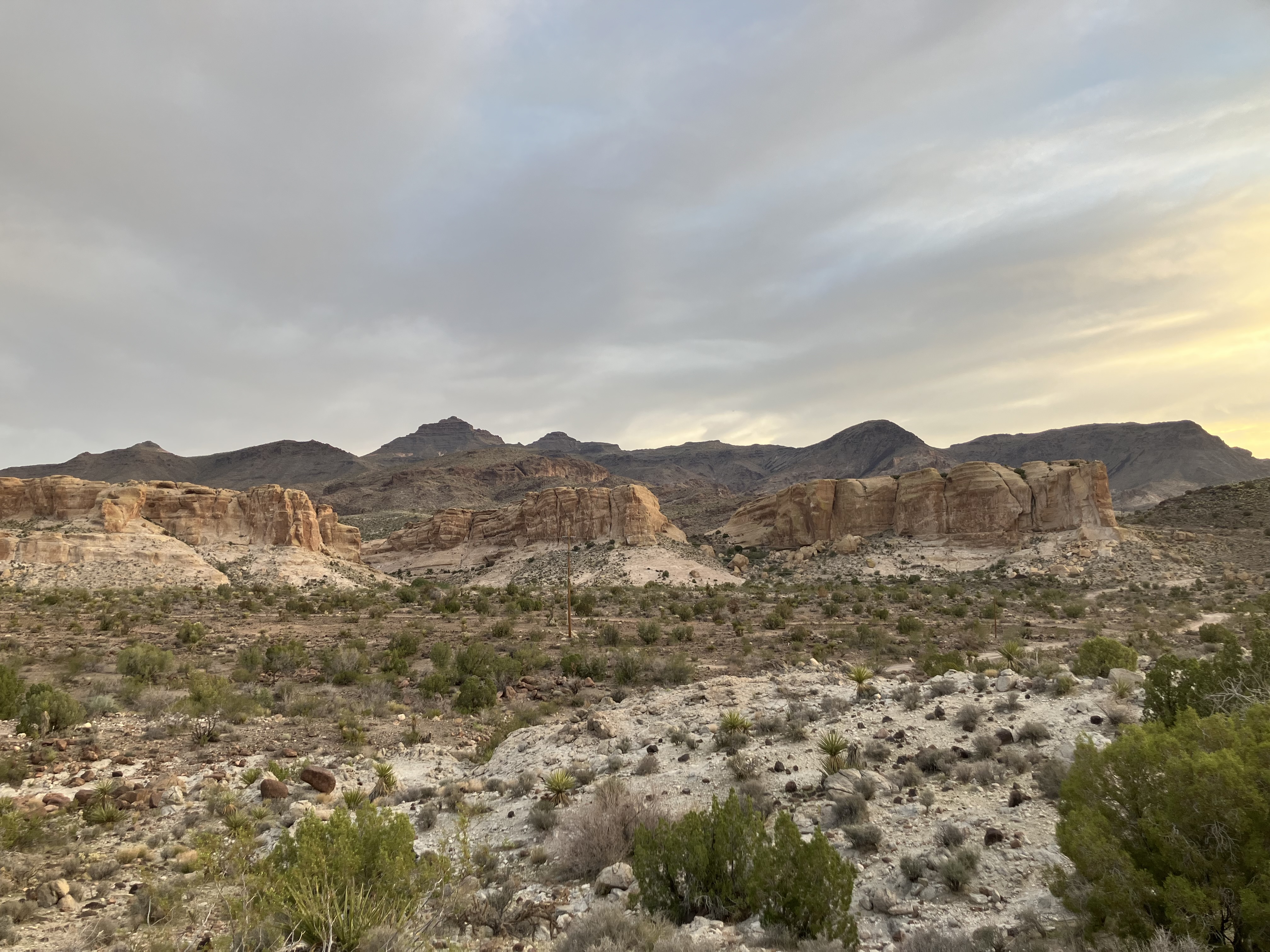
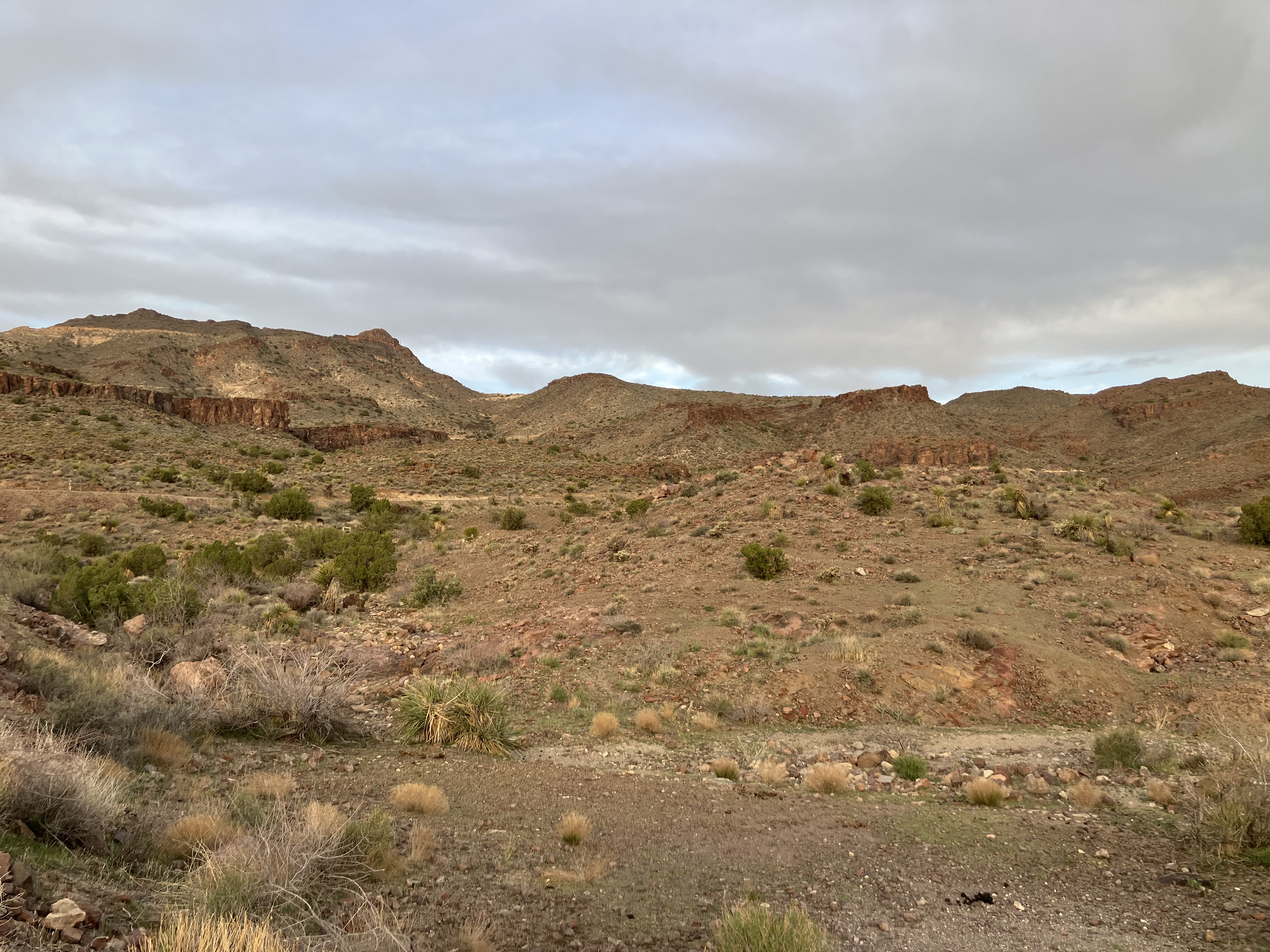
When I left at 5:50 it was daybreak and 67 degrees. Drove on a winding mountain road...
 |
 |
...to
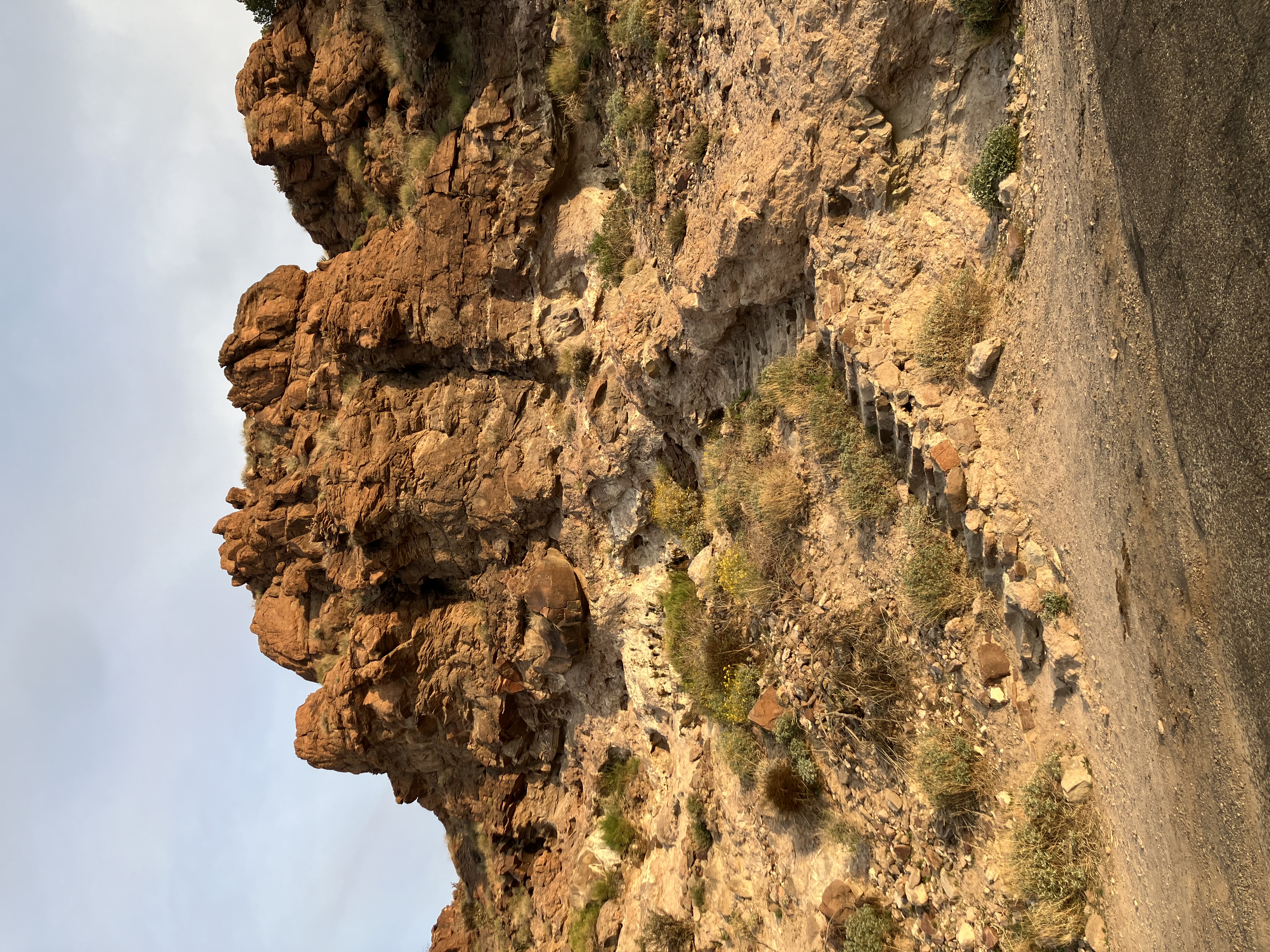
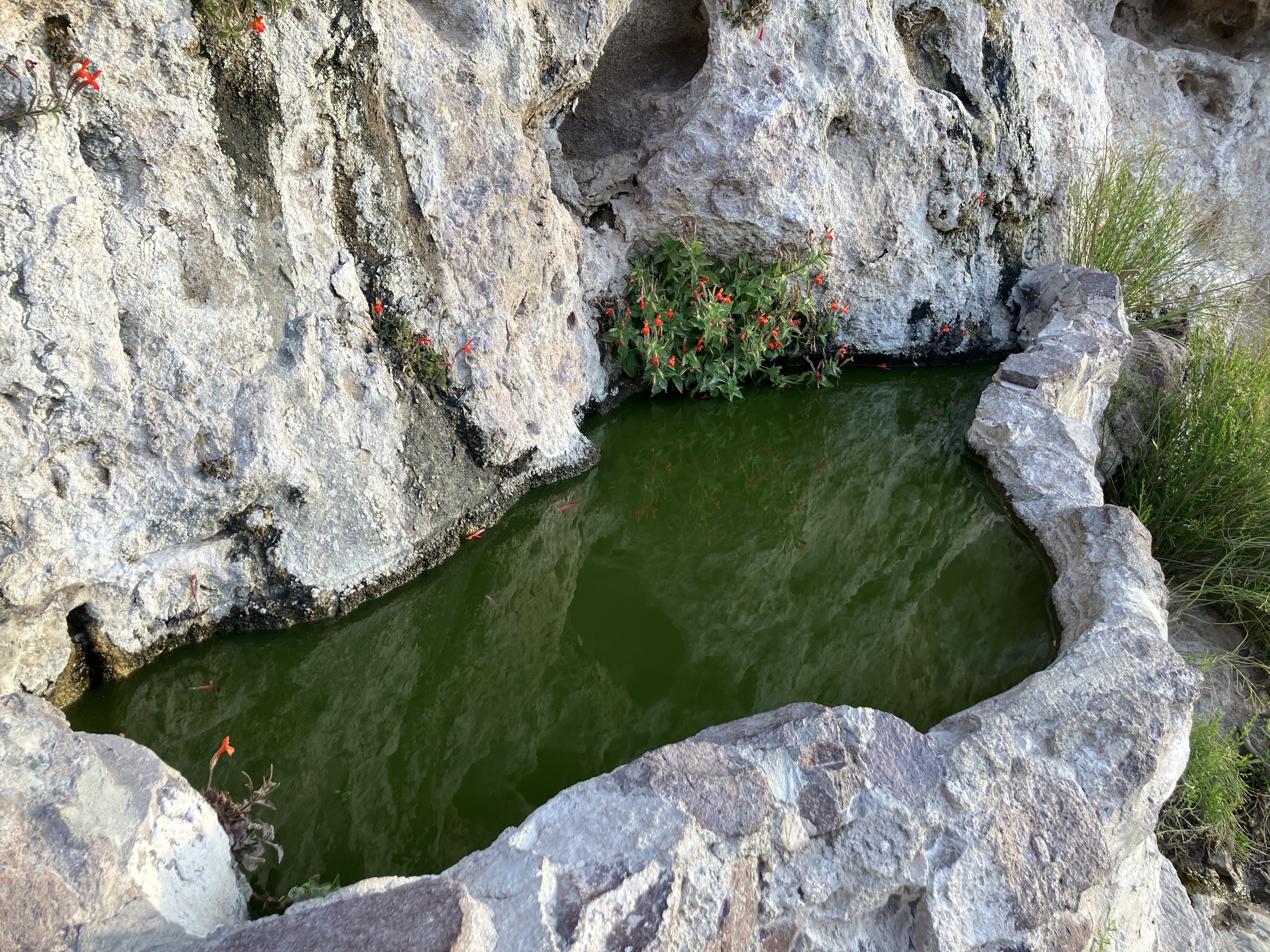
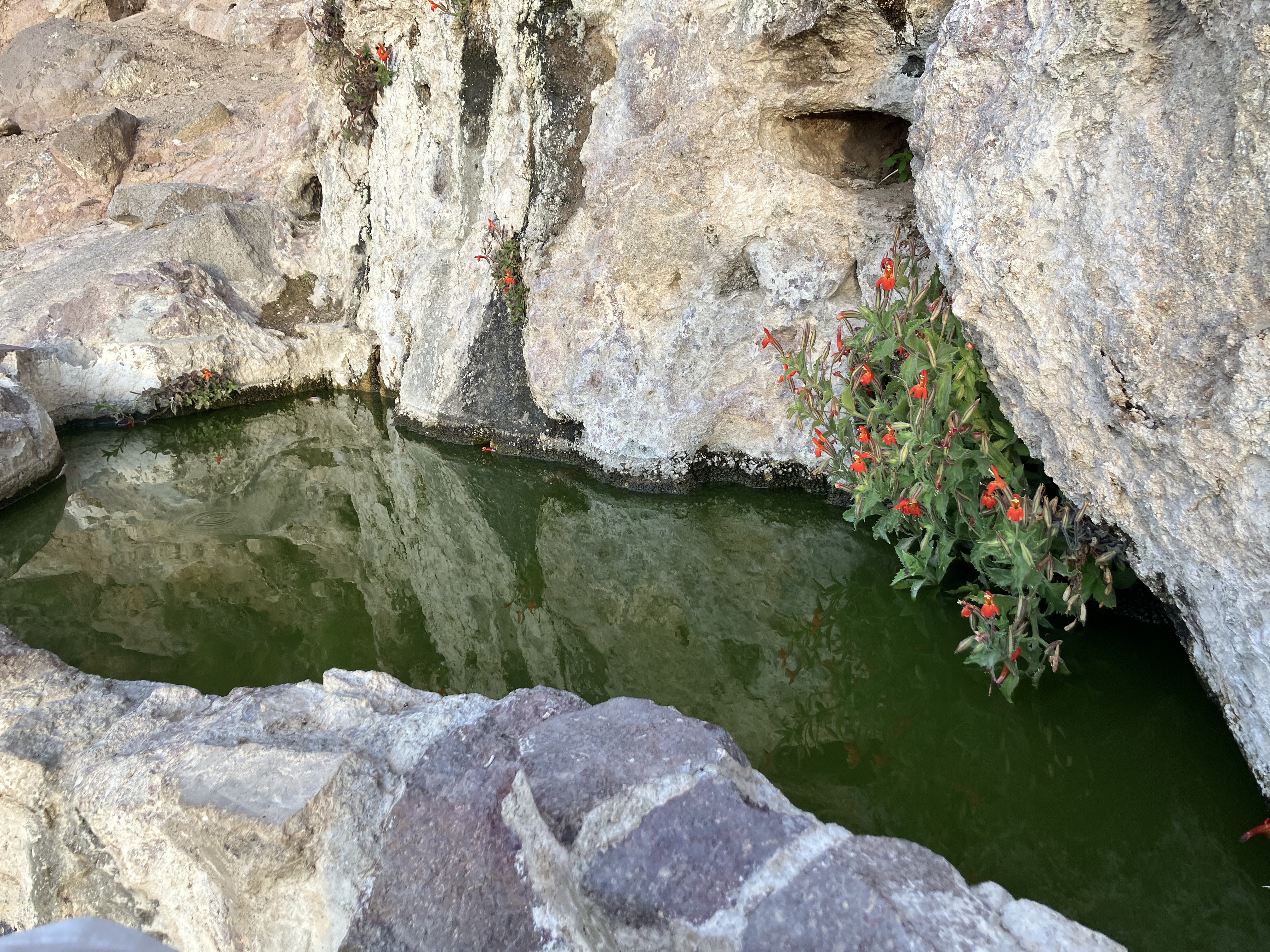
Shaffer Fish Bowl Spring,
arriving at 6:30. It's a little "fish bowl" on the side of a hill in the middle of nowhere.
There are steps leading up to it, and there are actually goldfish in it.
 |
 |
 |
There's a nice view from up there.
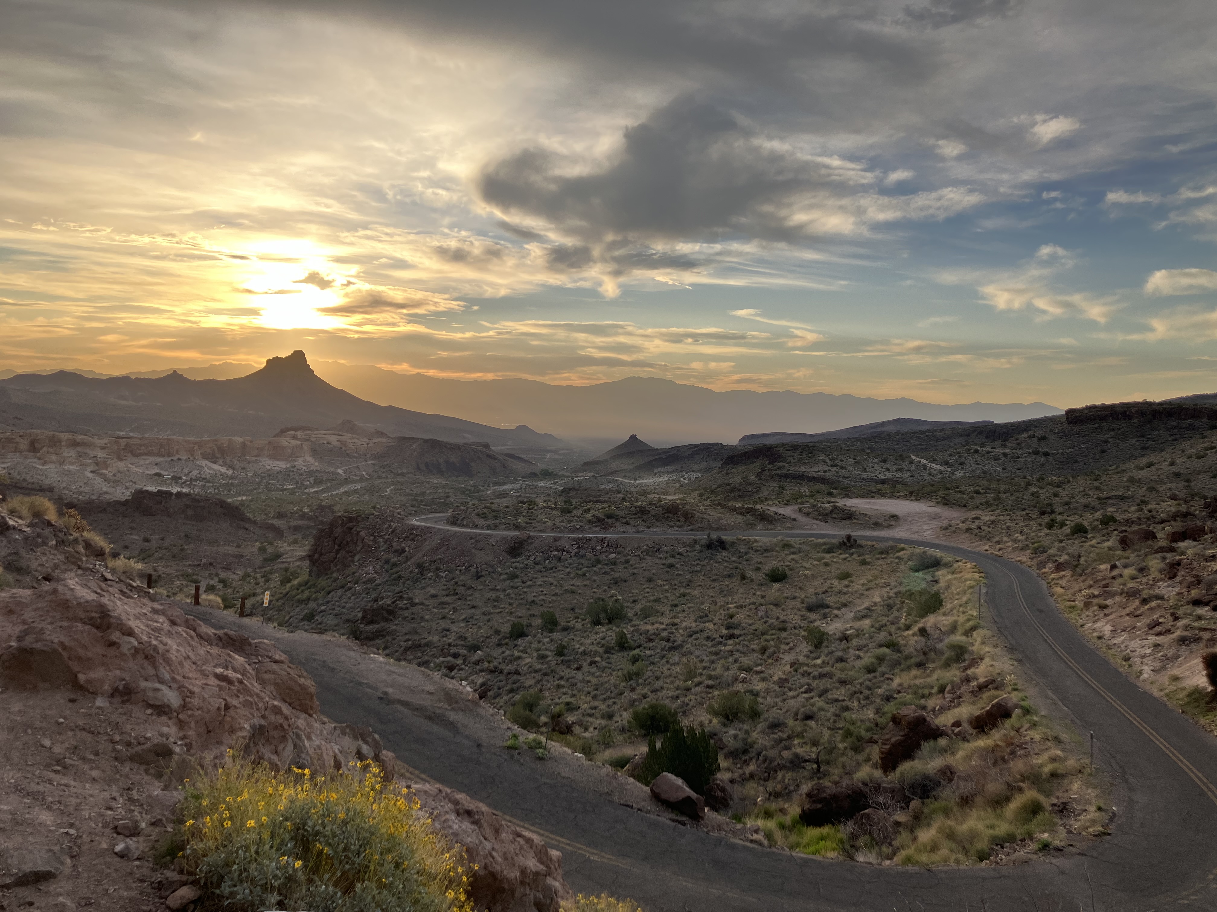 |
Continued winding on down the road...
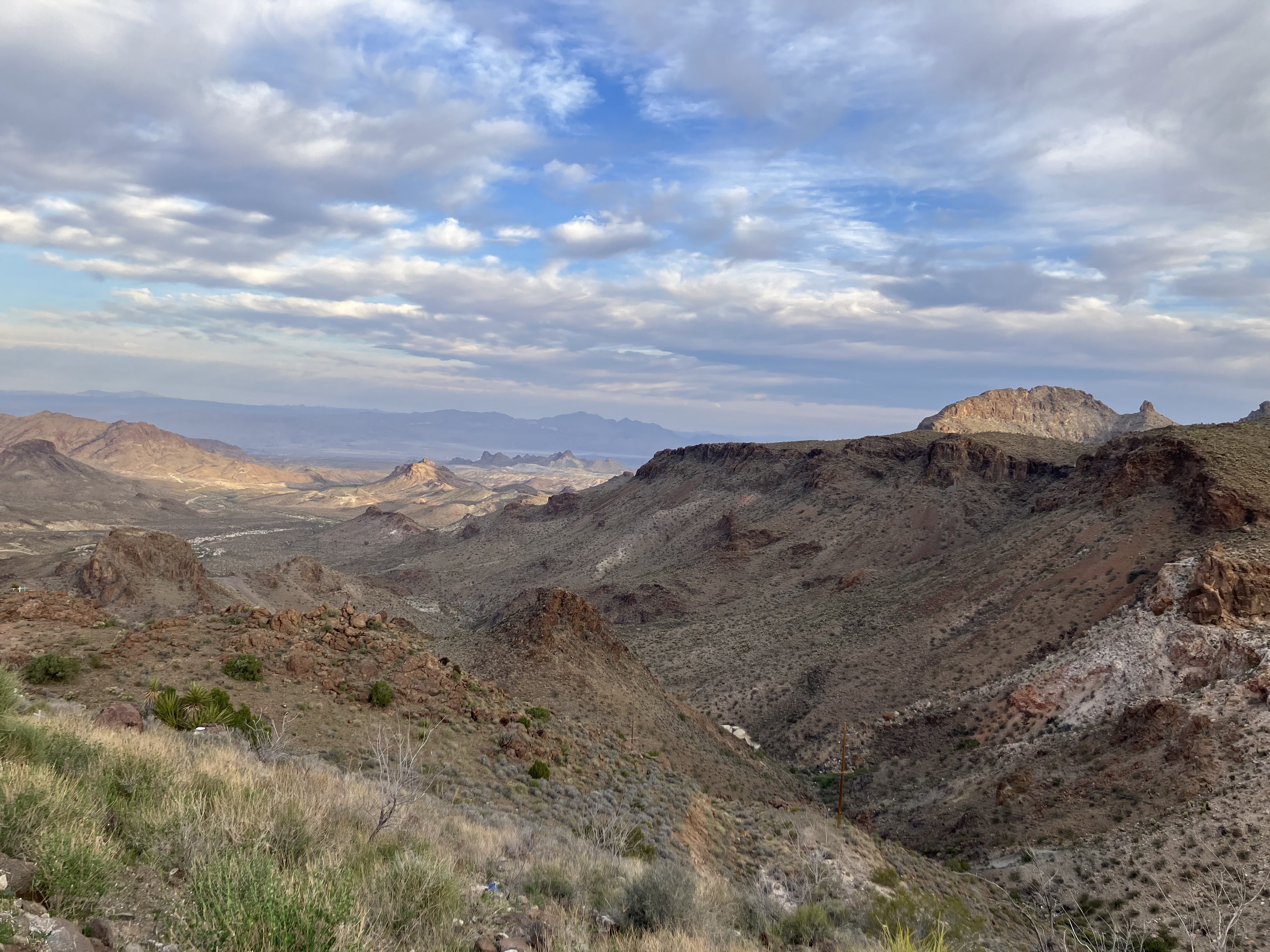 |
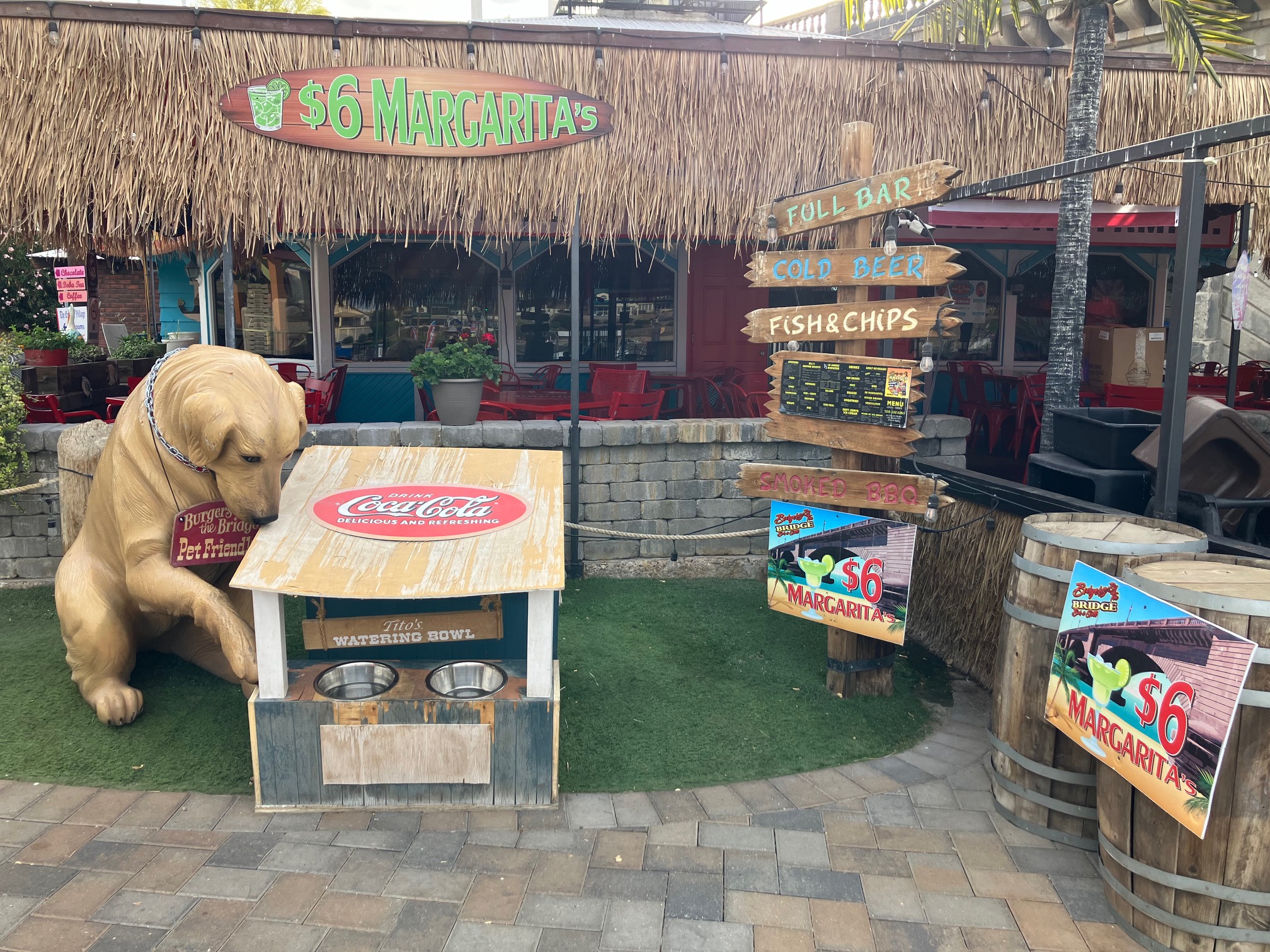
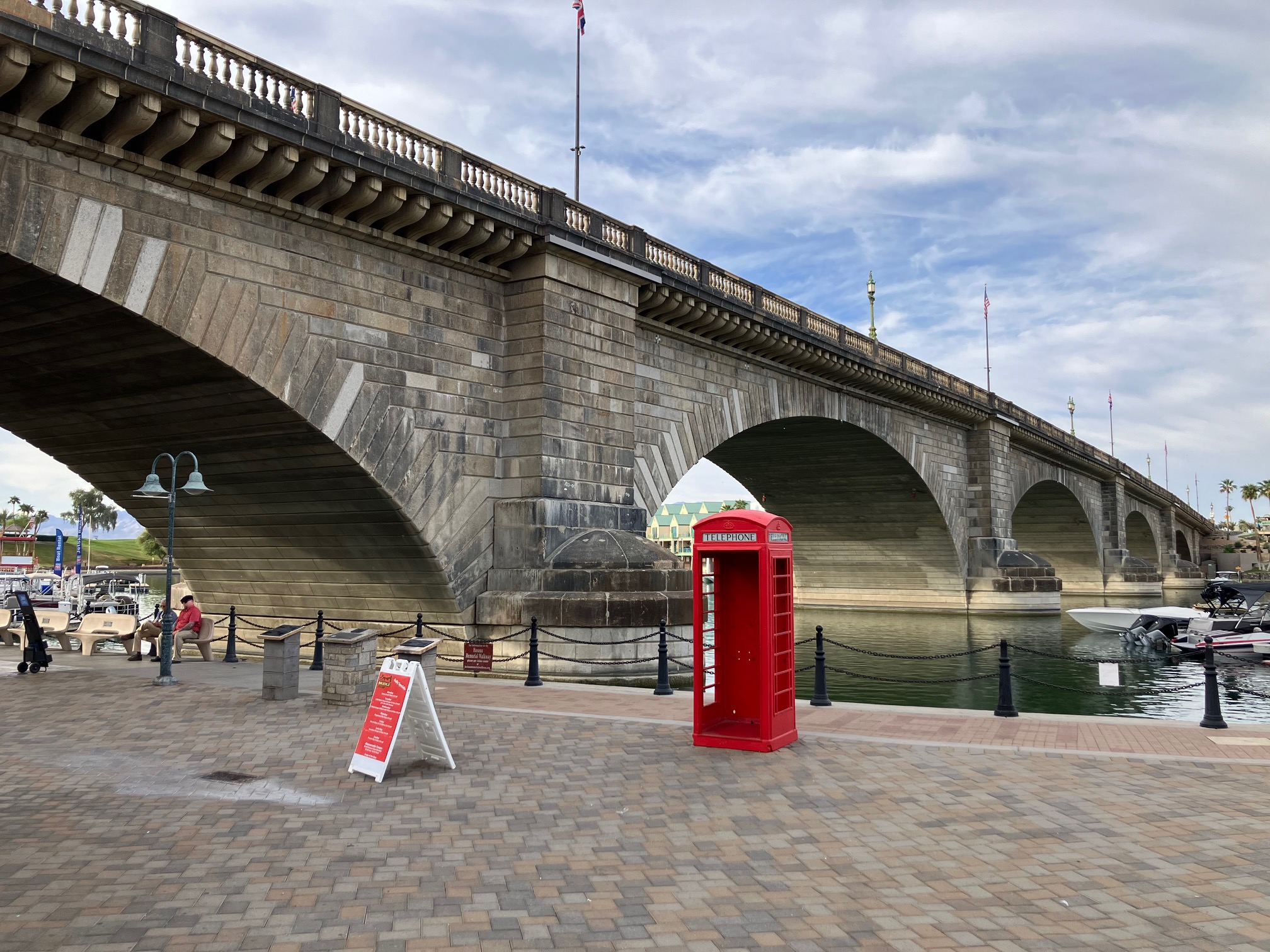
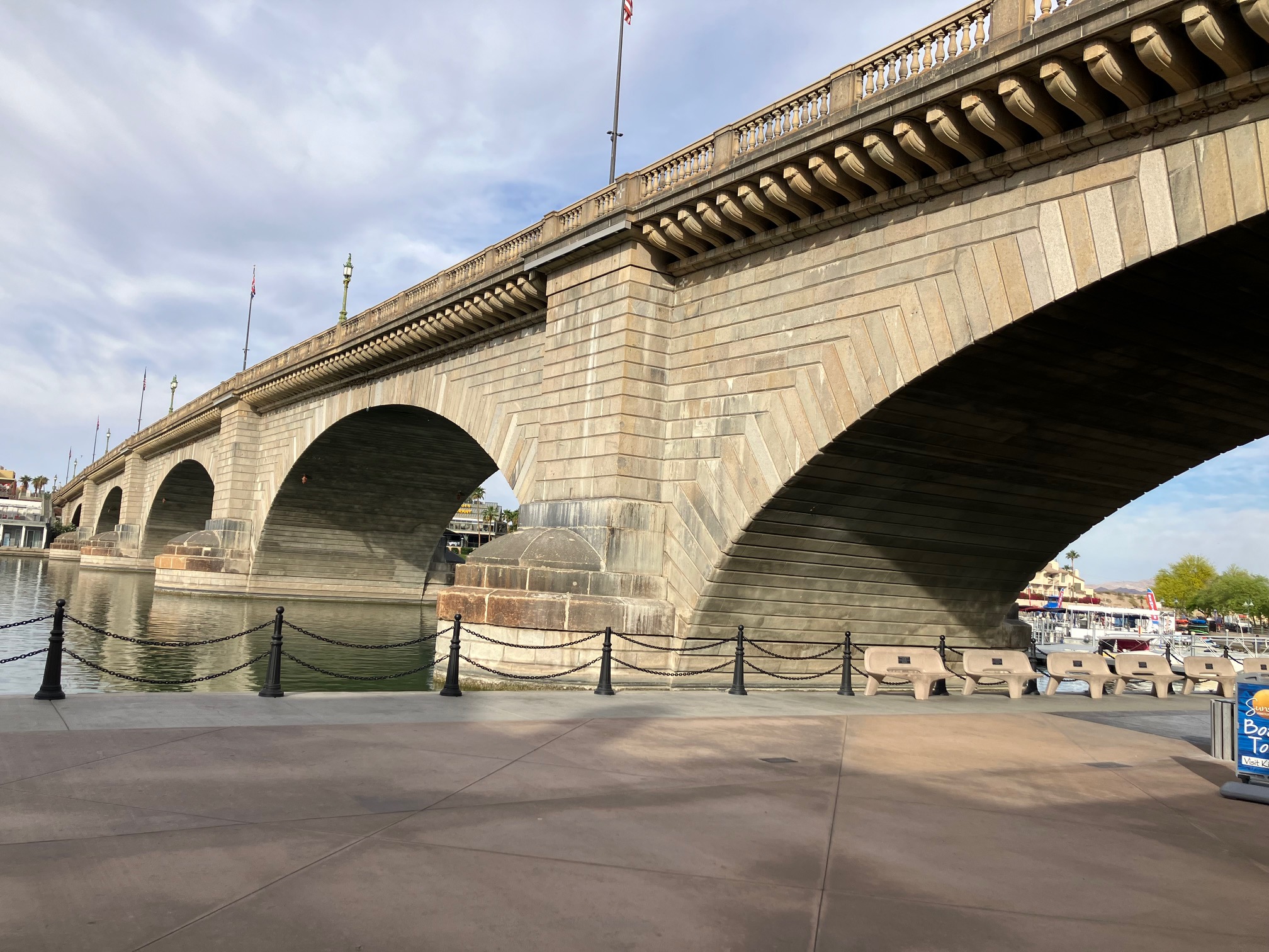
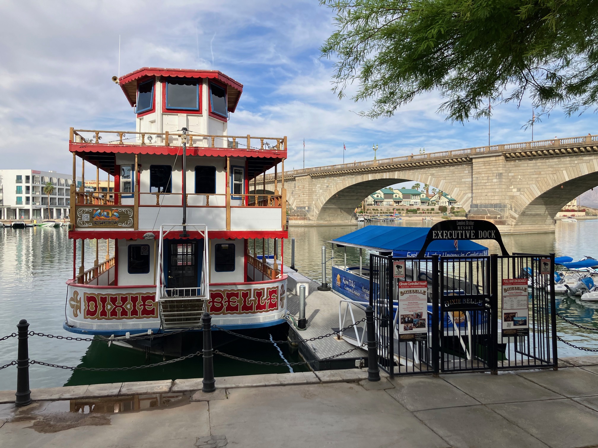
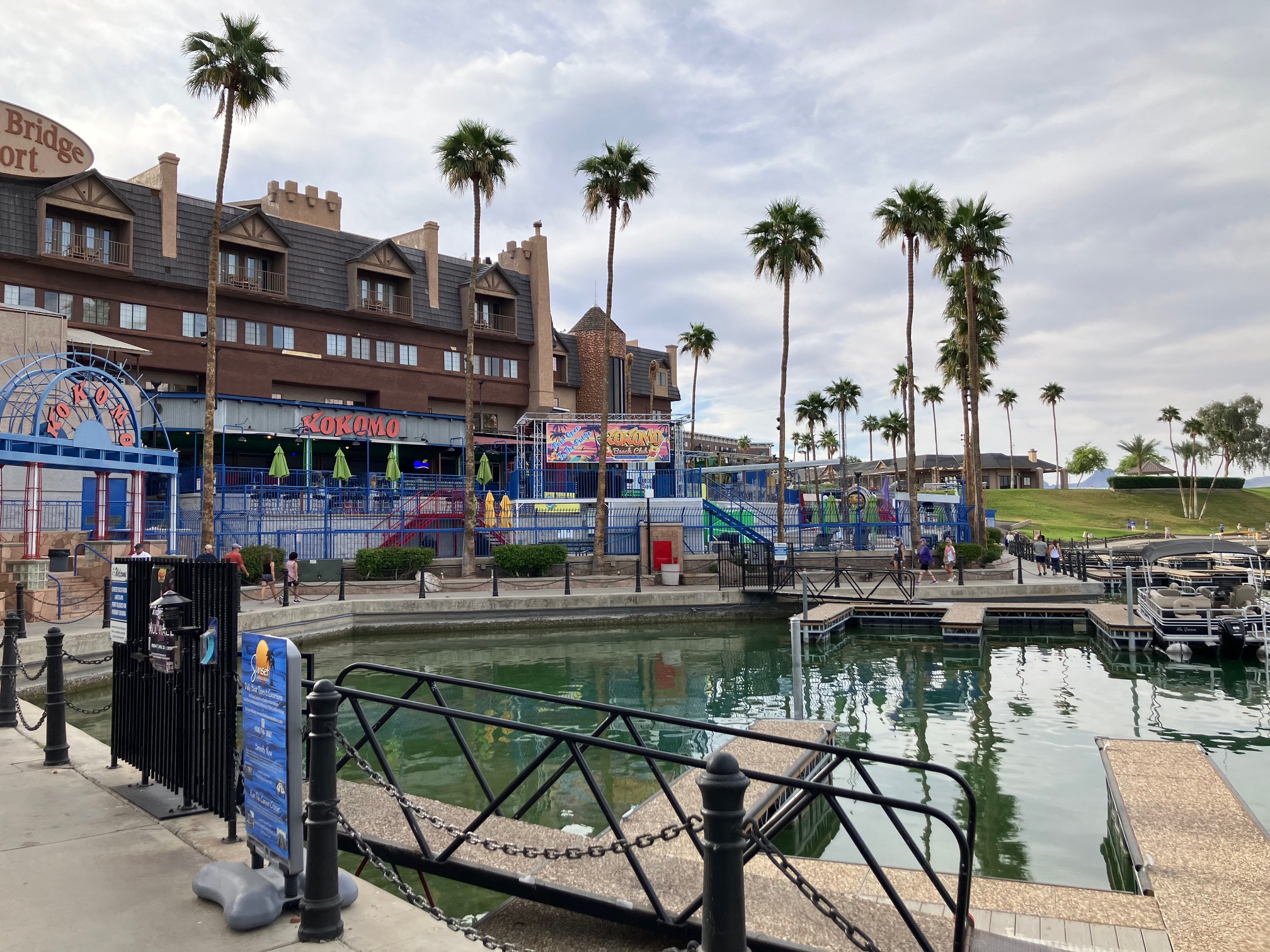
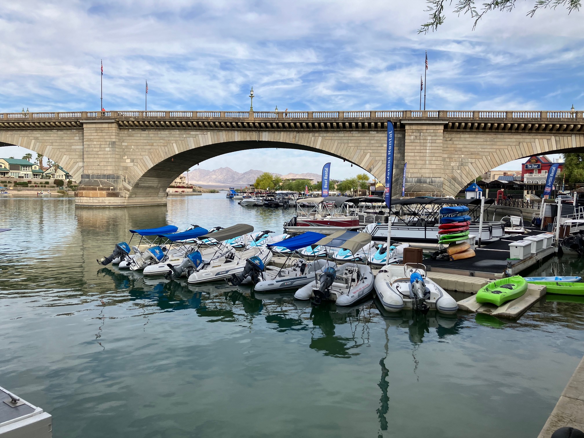
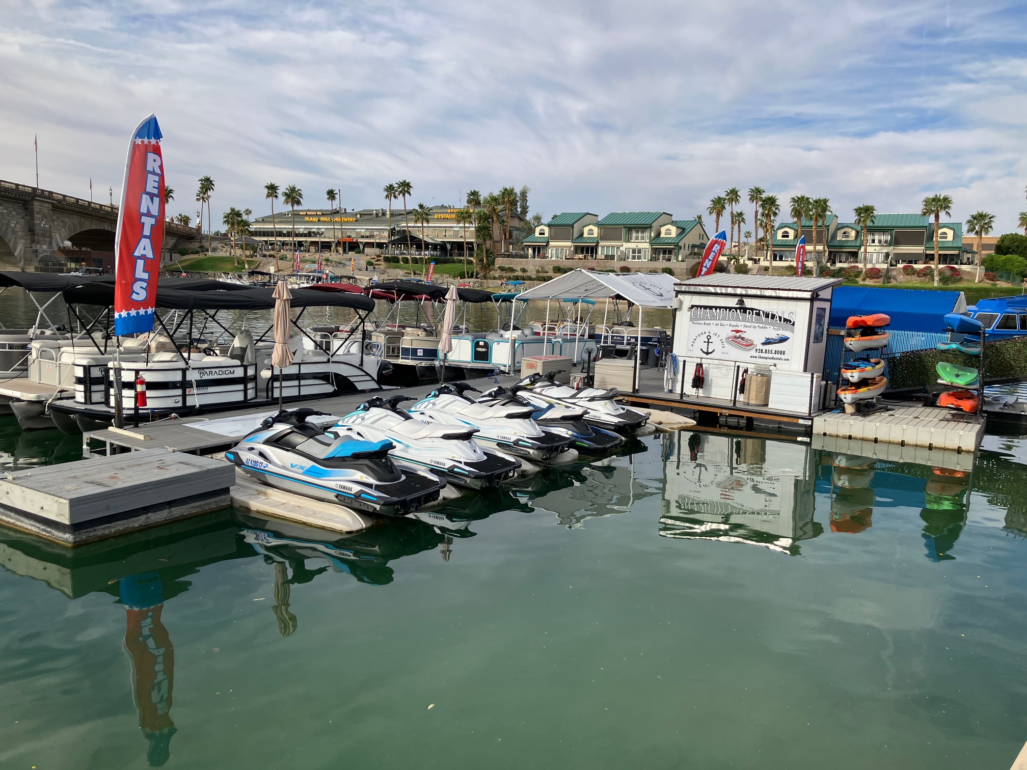
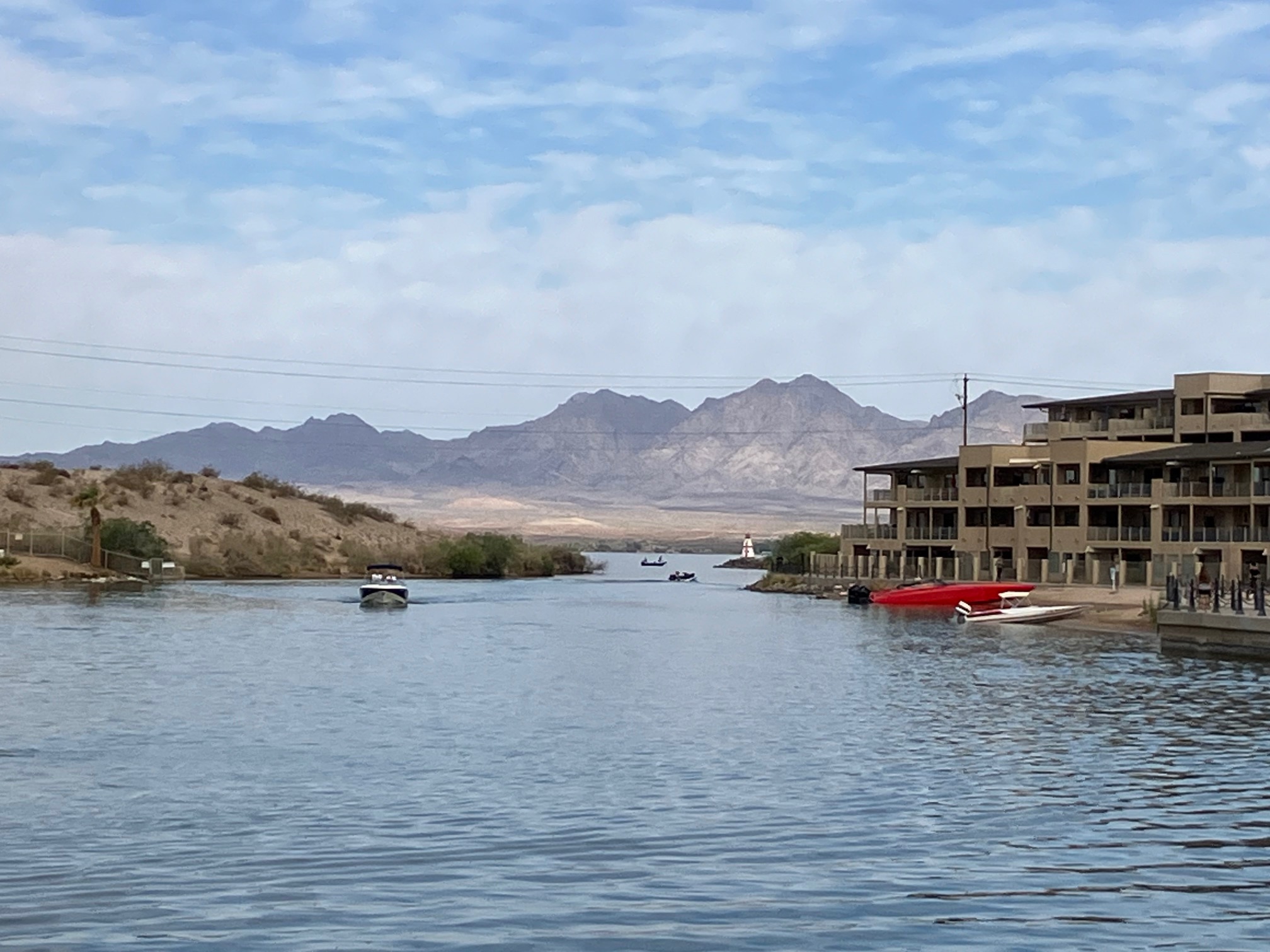
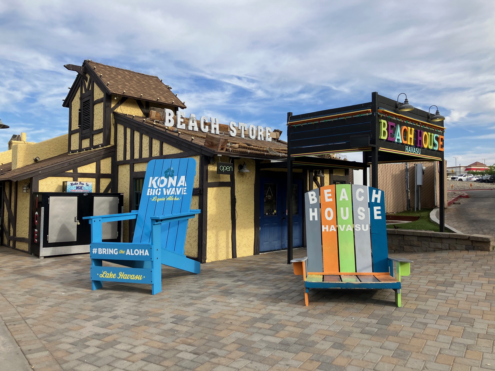
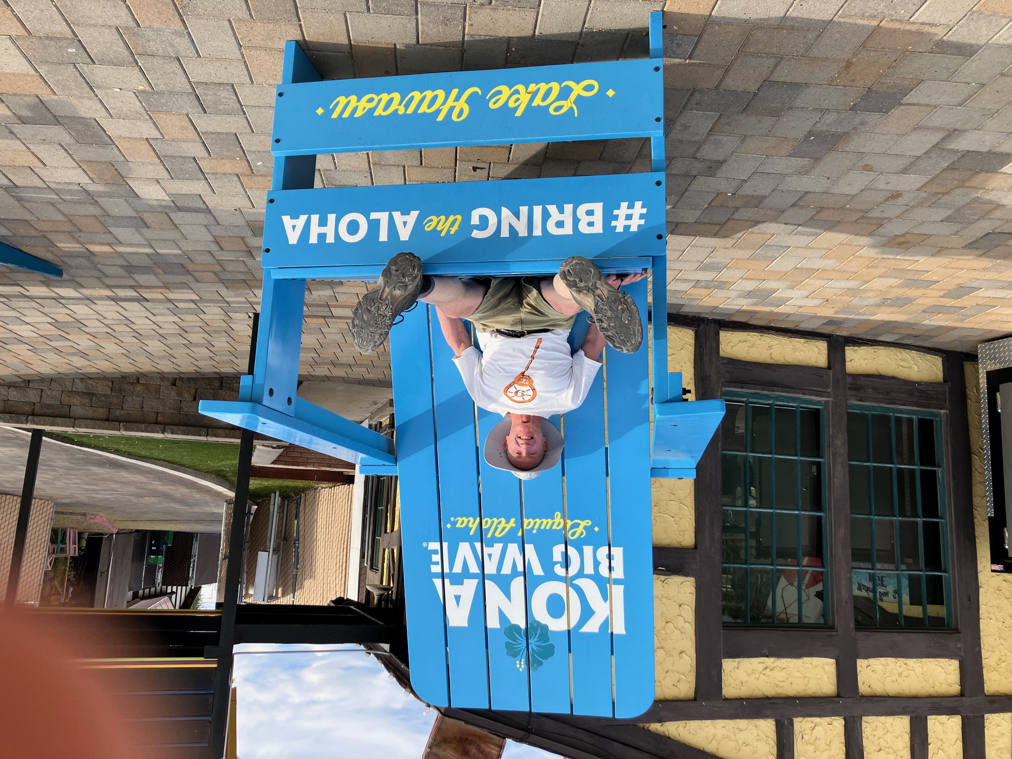
...to Lake Havasu City, arriving at the visitor center just after 8:00. Walked the
Shoreline Trail
and saw many different businesses setting up for the day. There were bars, restaurants, boat
rental places, and a bridge called London Bridge.
 |
 |
 |
 |
 |
 |
 |
 |
 |
 |
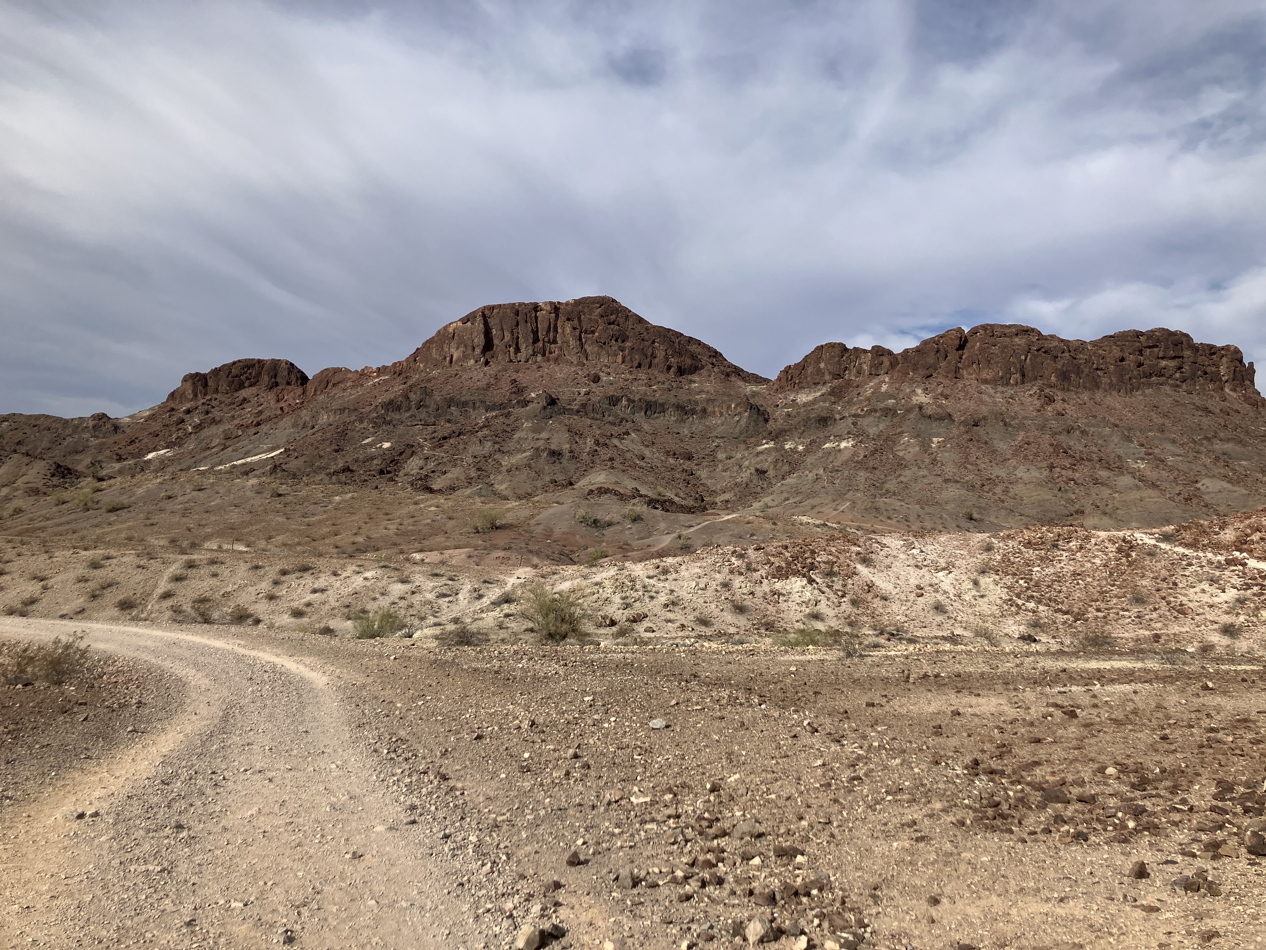
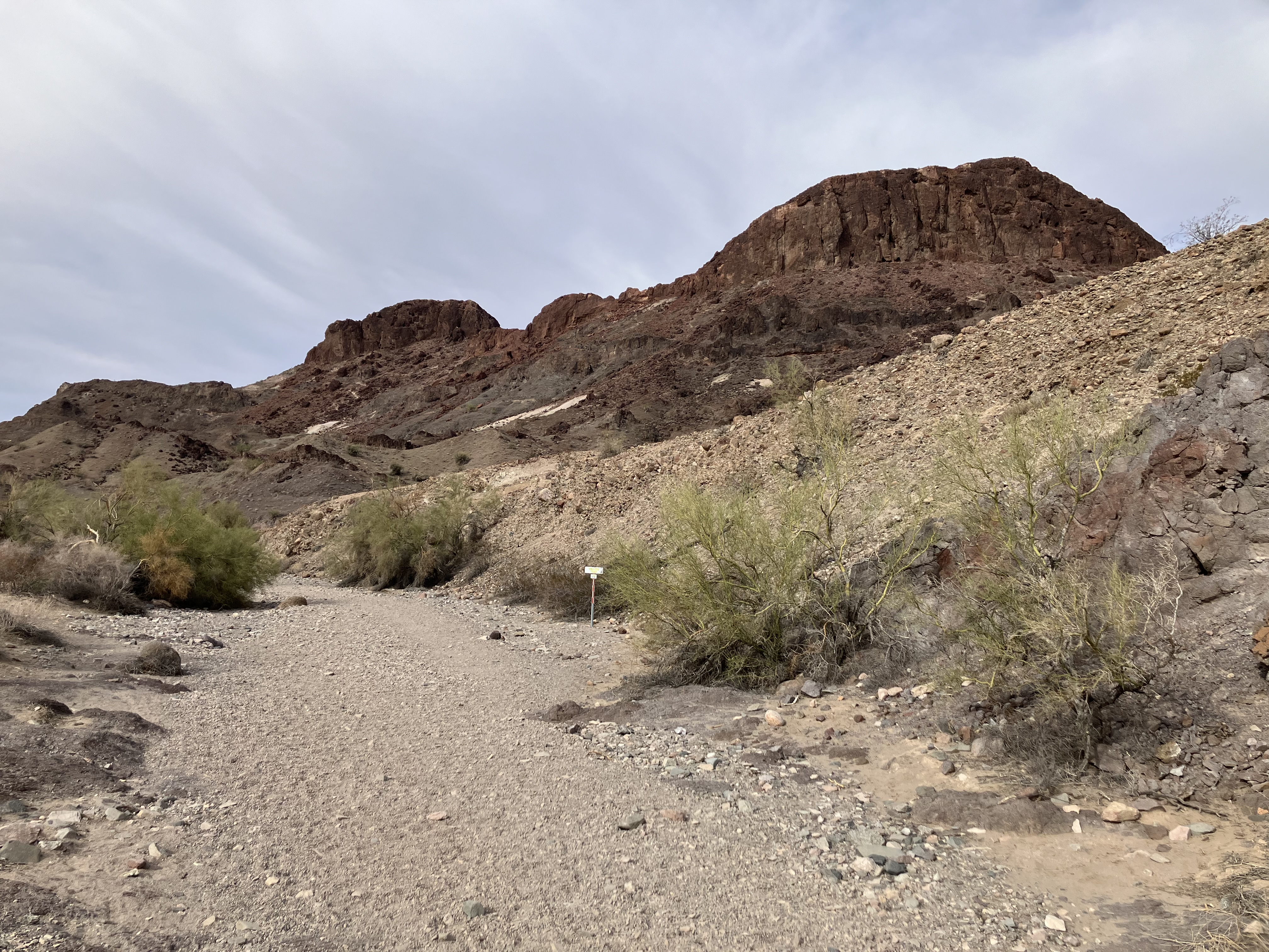
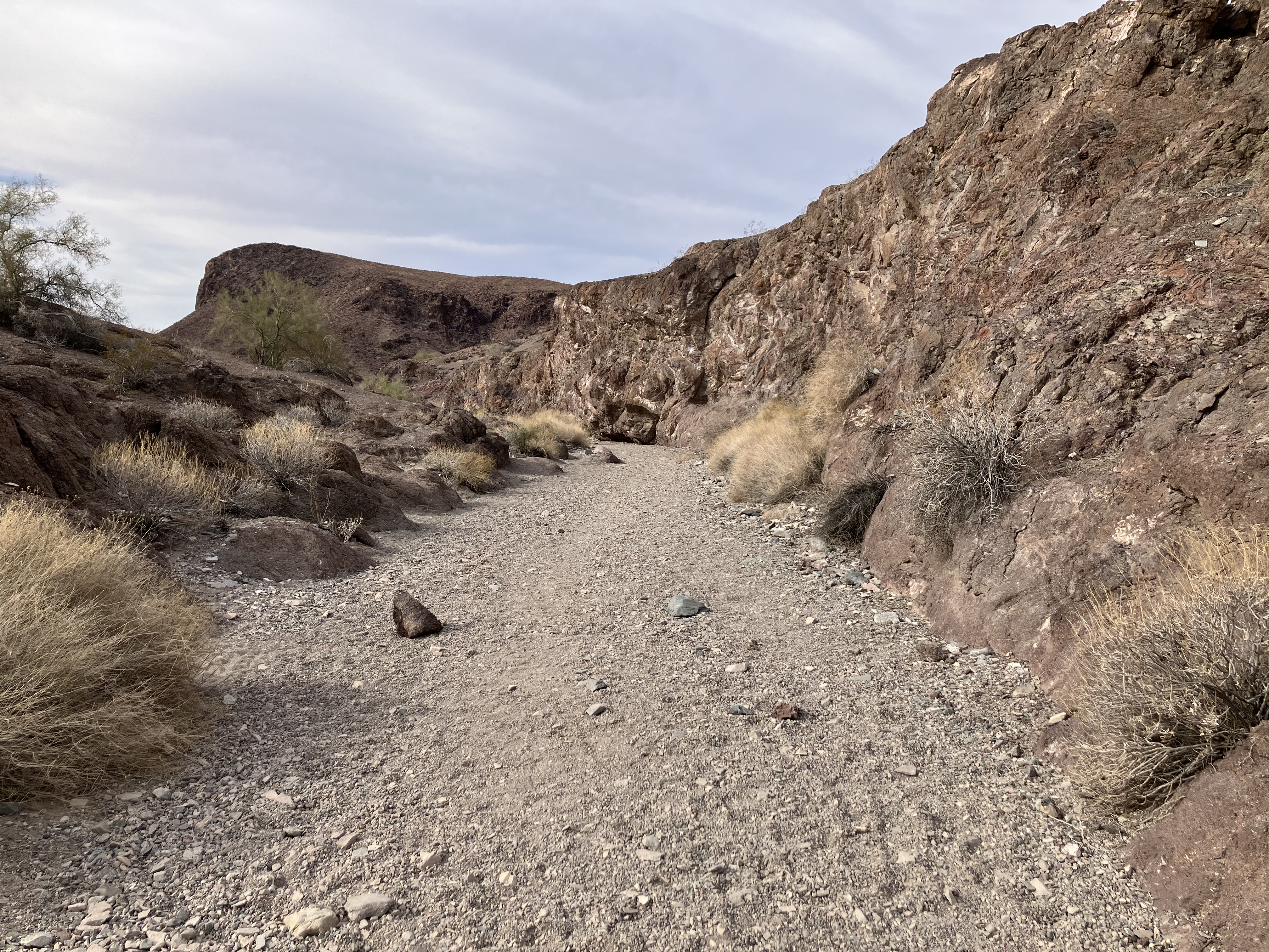
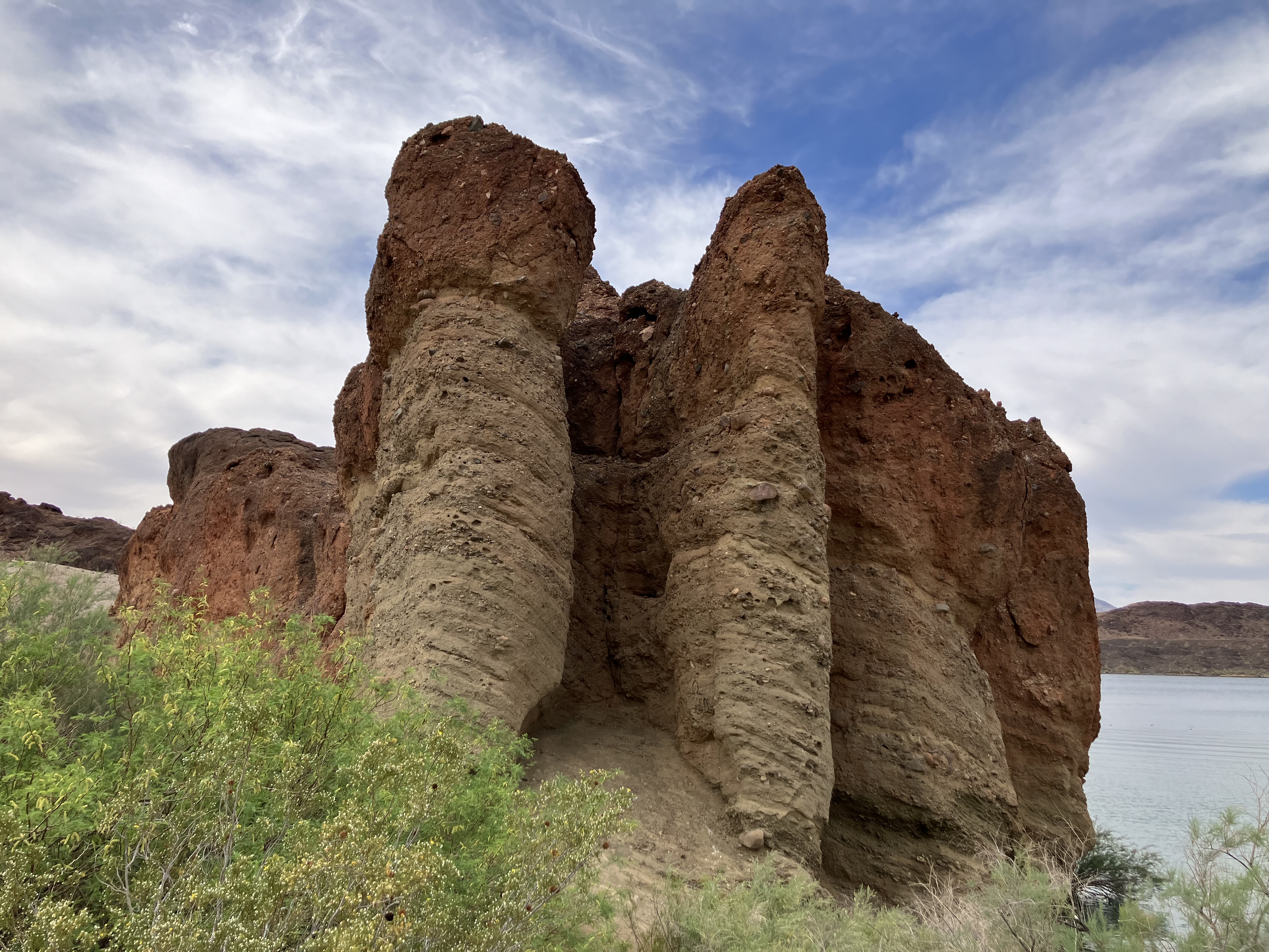
Then I went down to SARA Park
(SARA stands for Special Activities and Recreation Area)
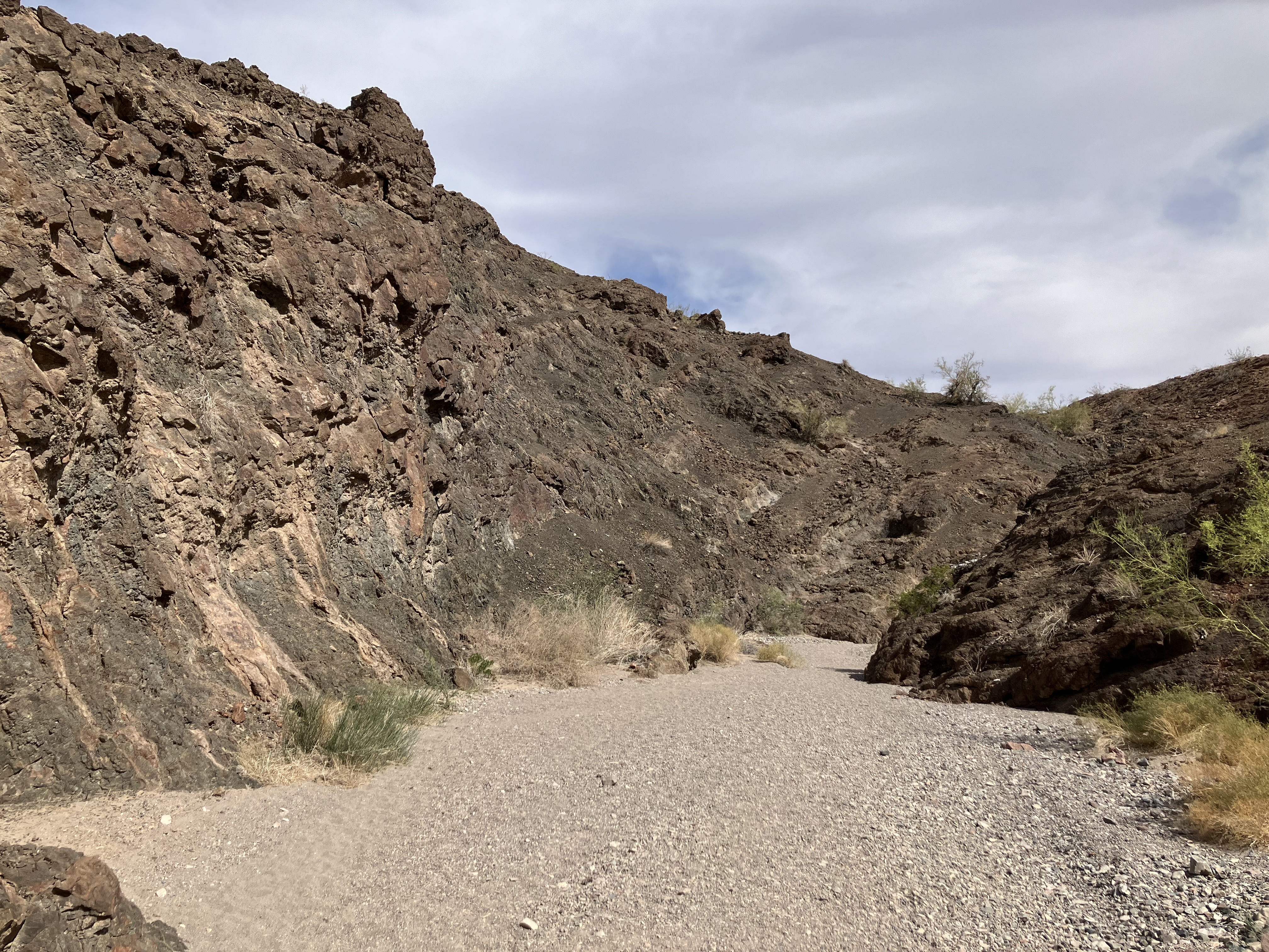
in Lake Havasu City and hiked the
Crack in the Mountain Trail,
which is 5 miles out-and-back (2½ miles each way).
It was 85 degrees at 8:30 AM.
It was also a tad humid, maybe because the park is located near a lake. Fortunately it was cloudy
so I wasn't walking in direct sunlight. The trail is pebbly and sandy, which requires more energy and time
to walk on than solid ground does.
 |
 |
 |
 |
 |
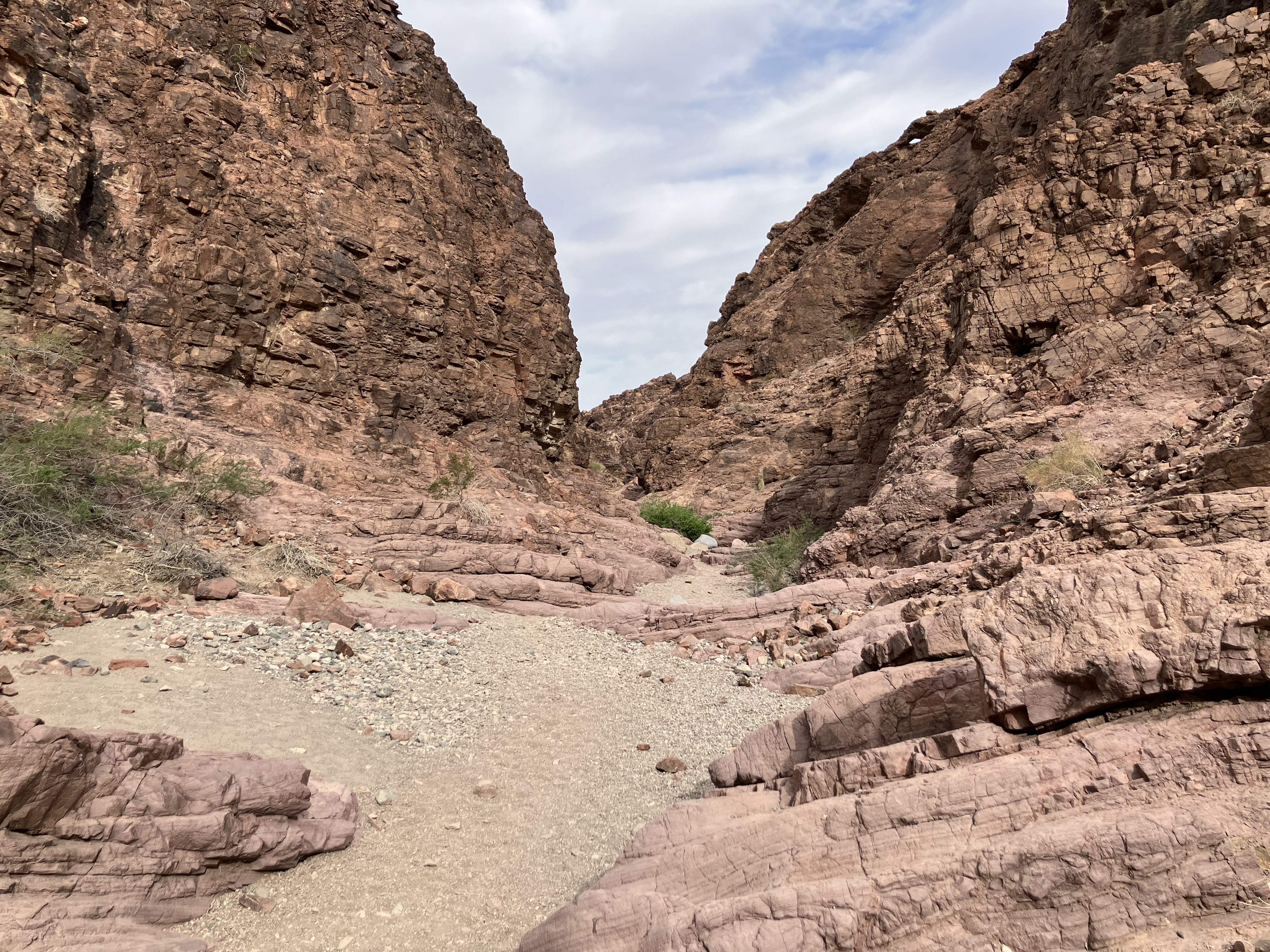 |
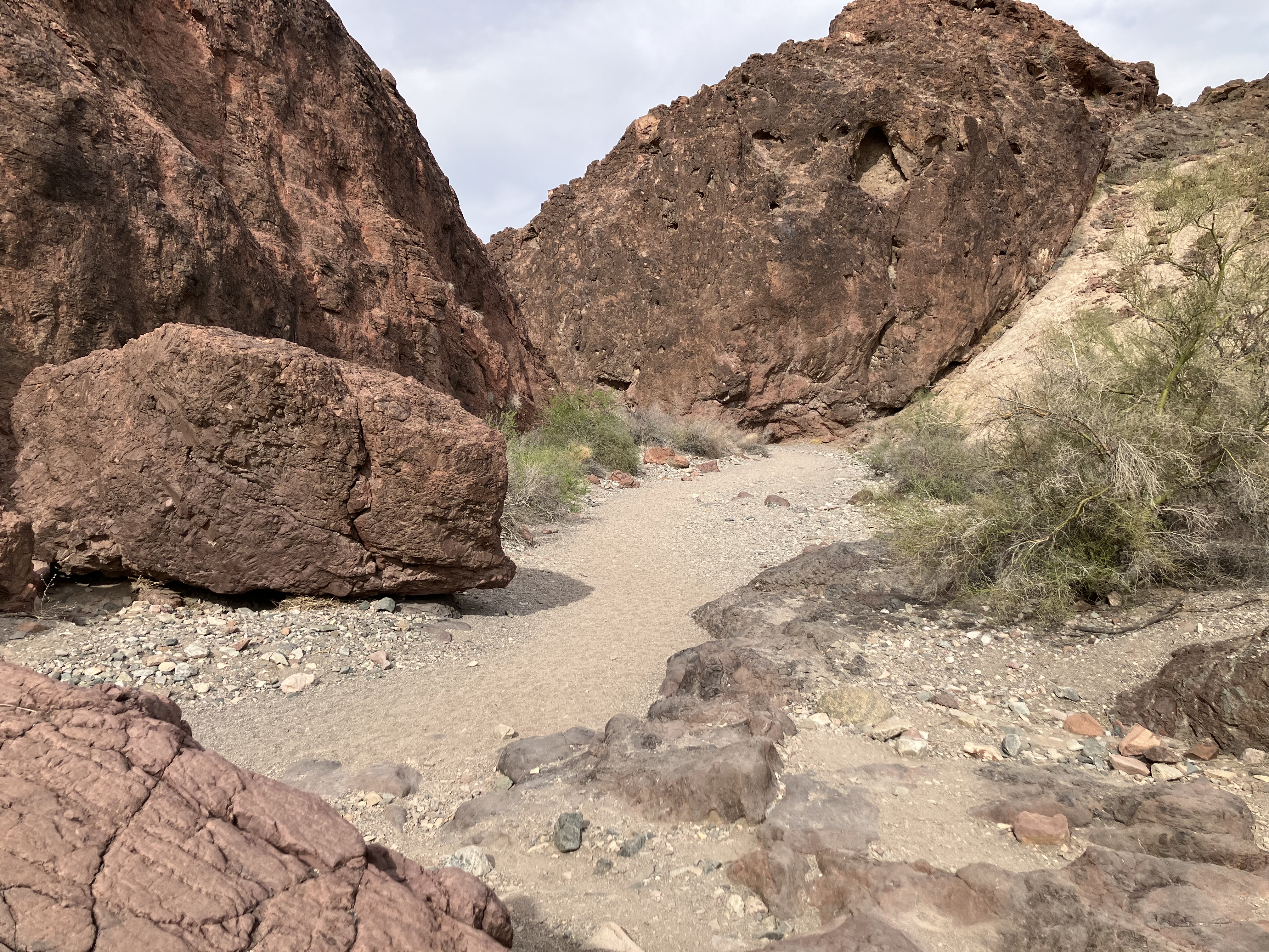
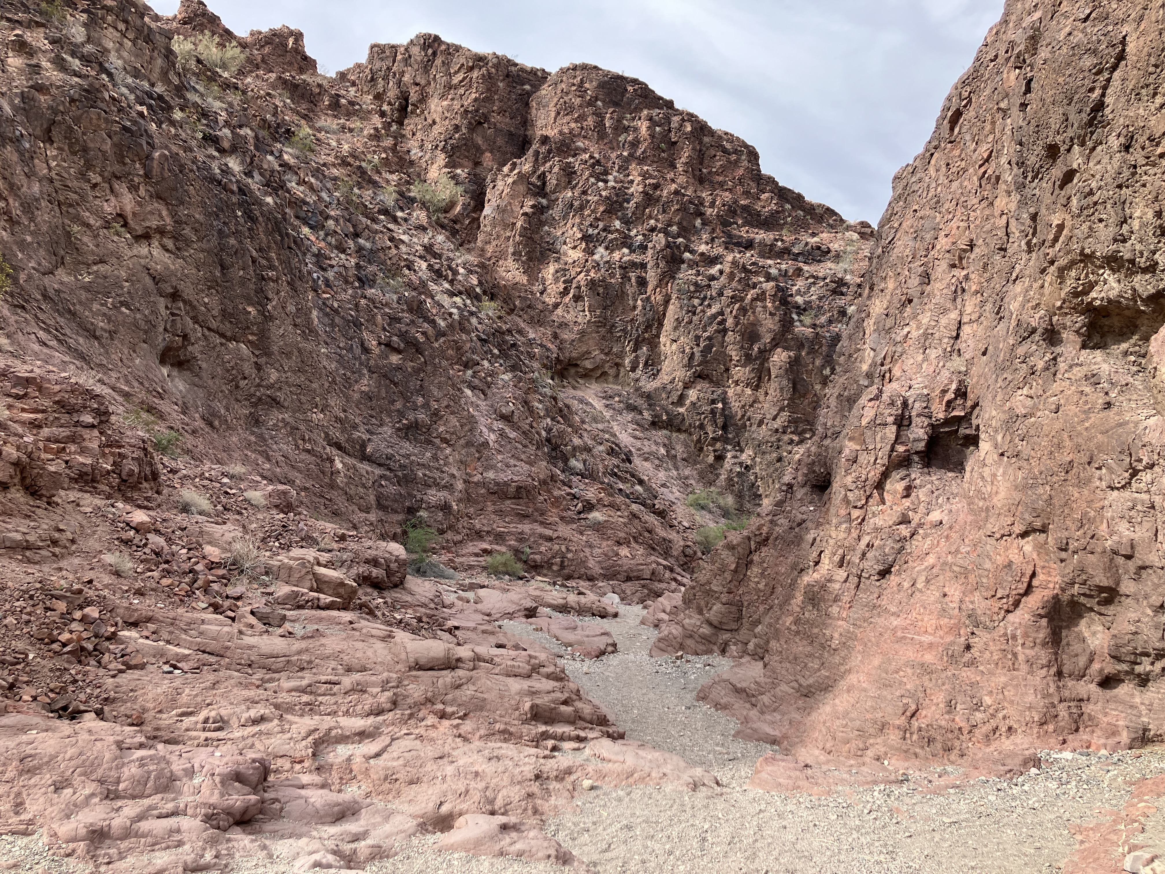
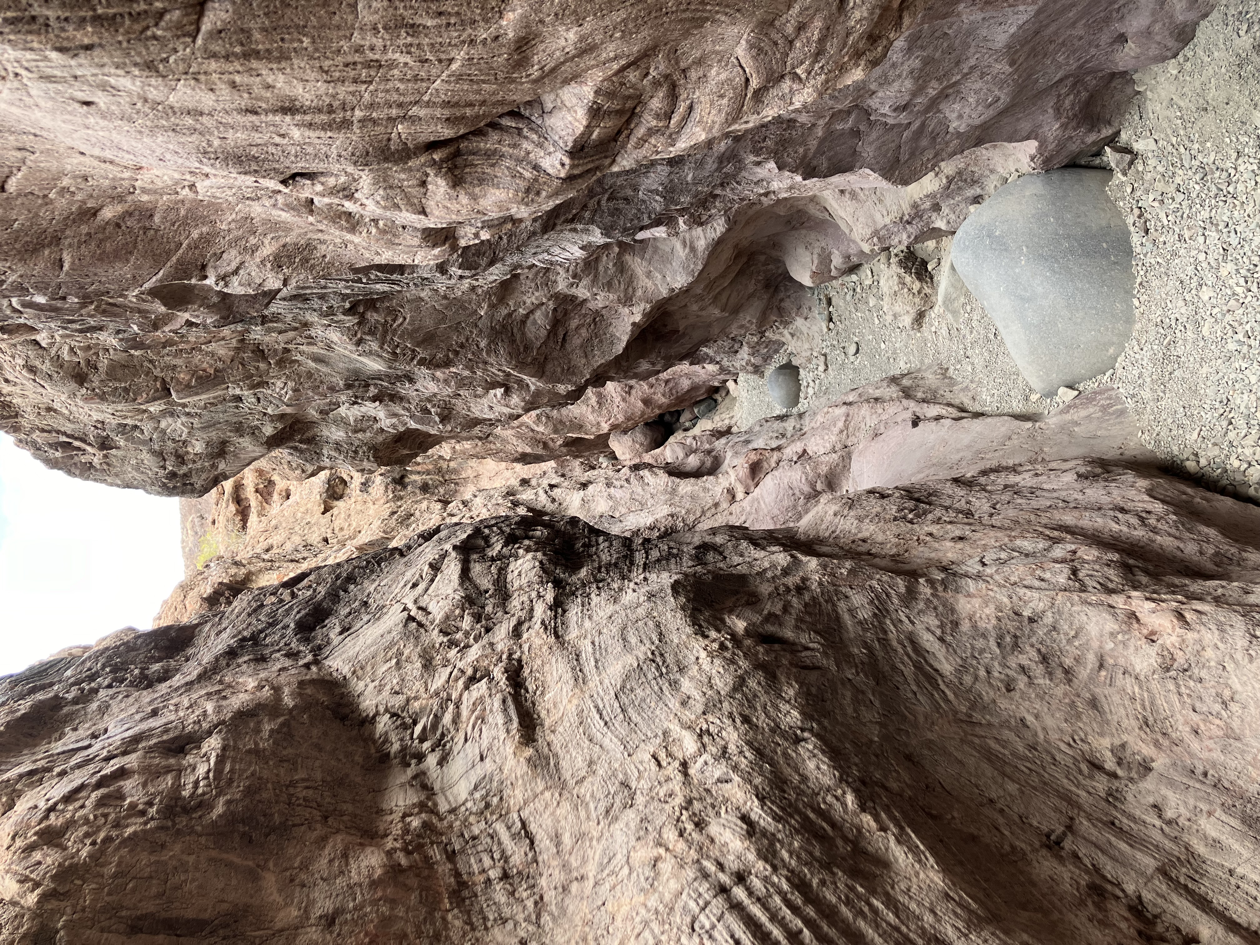
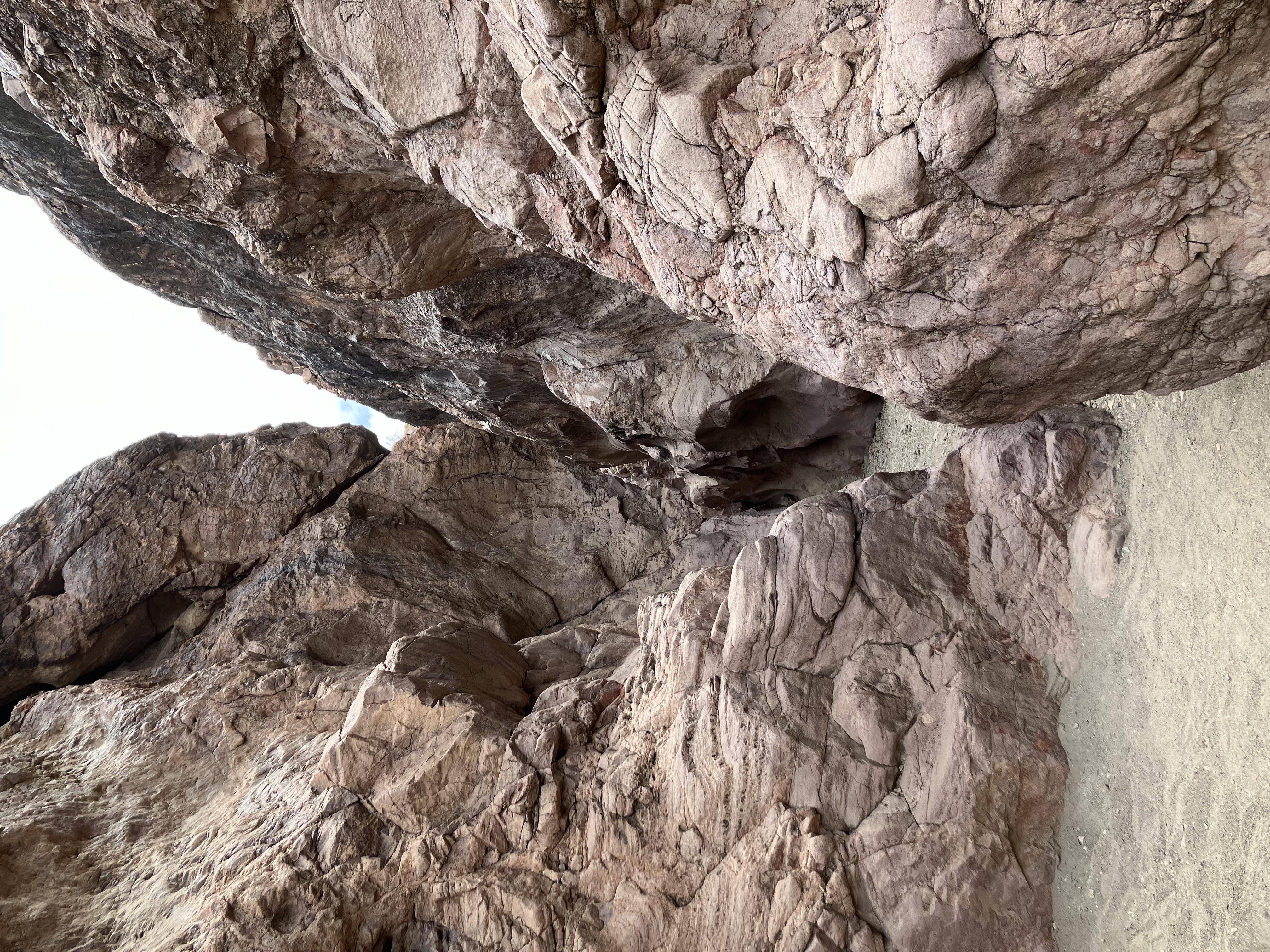
The "crack" is a nice slot canyon, with some challenging spots where you have to climb or
descend rocks.
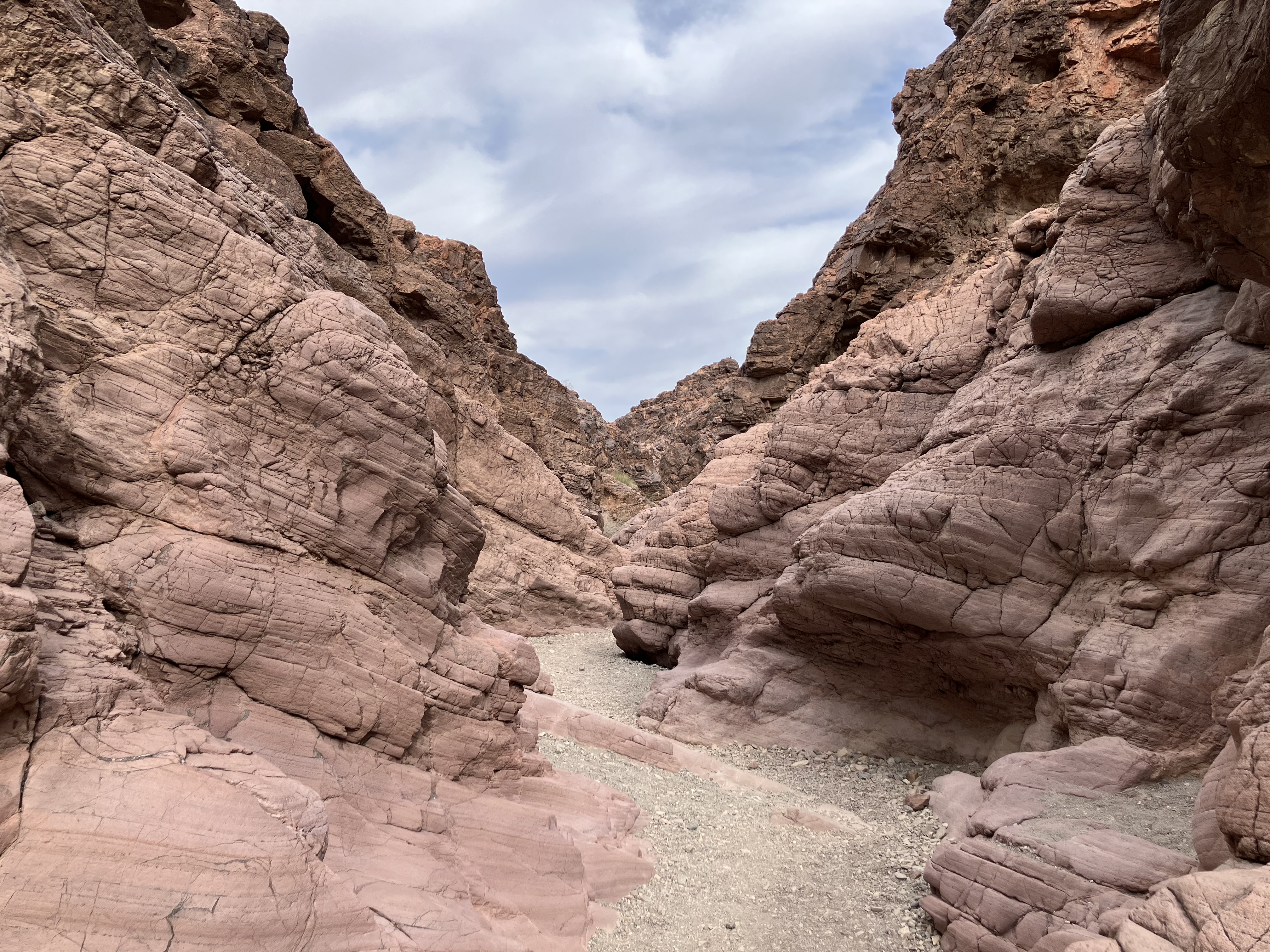 |
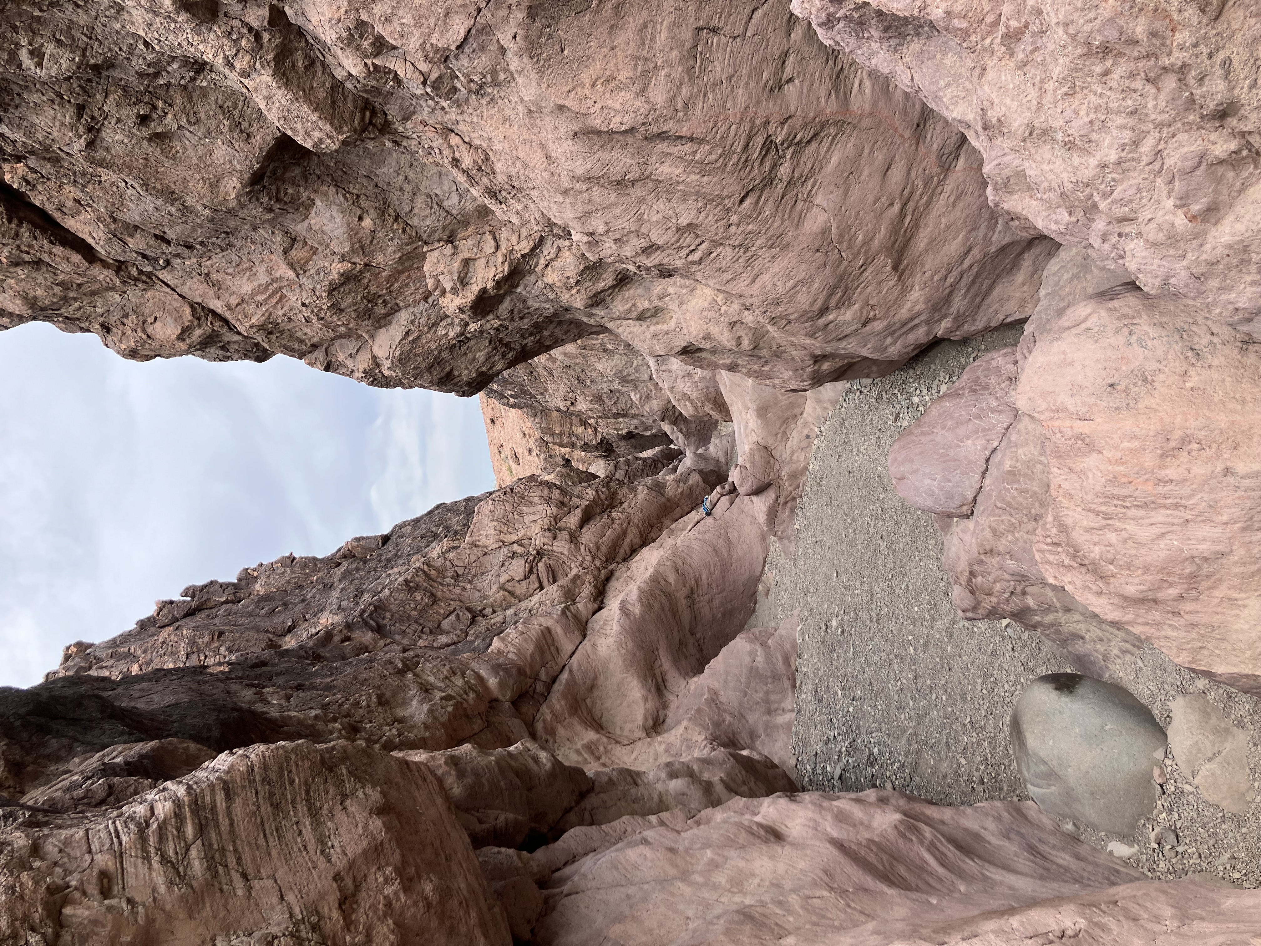 |
 |
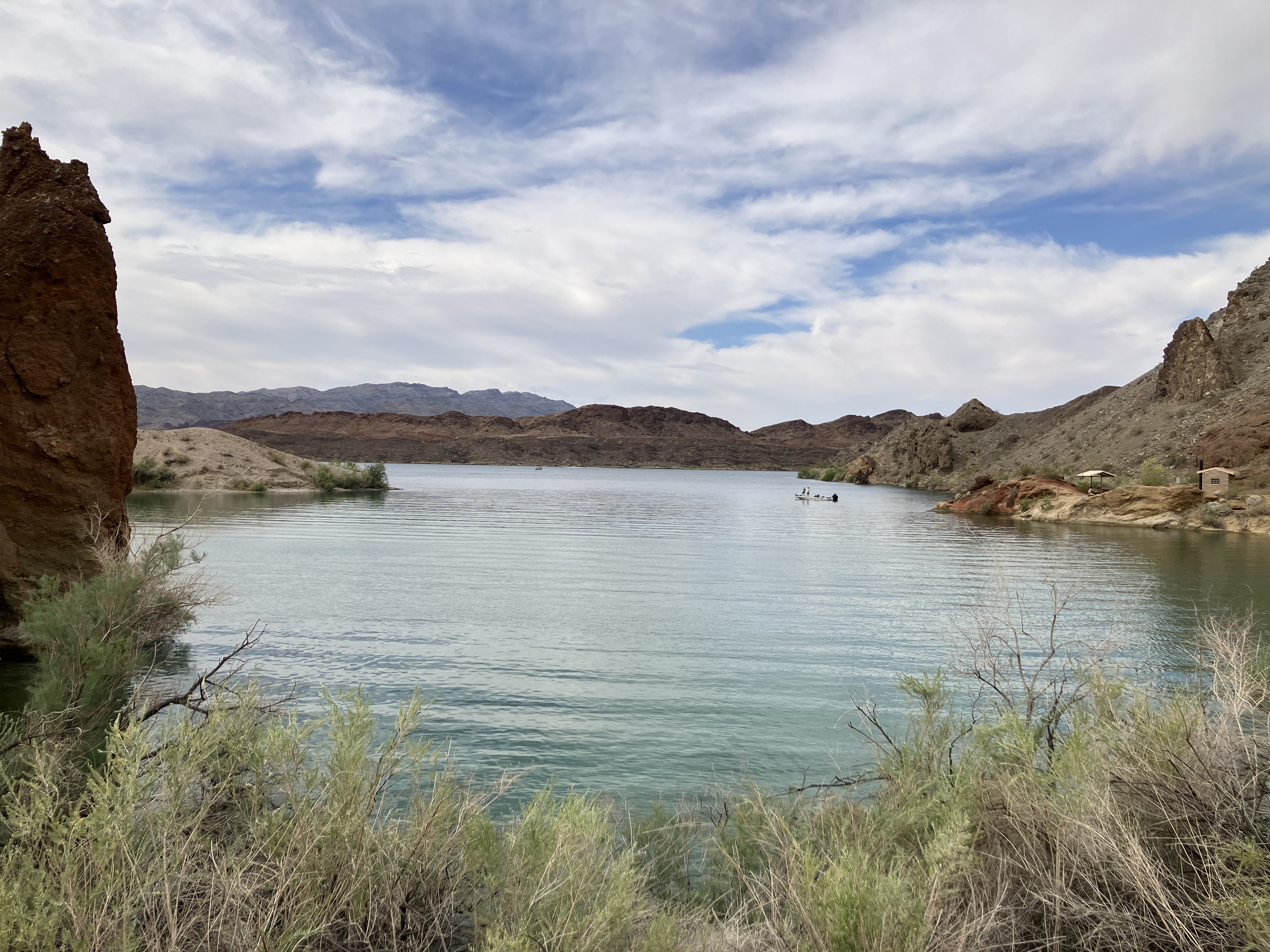
The trail ends at a place called
Balance Rock Cove. The water wasn't very blue because it was cloudy.
 |
 |
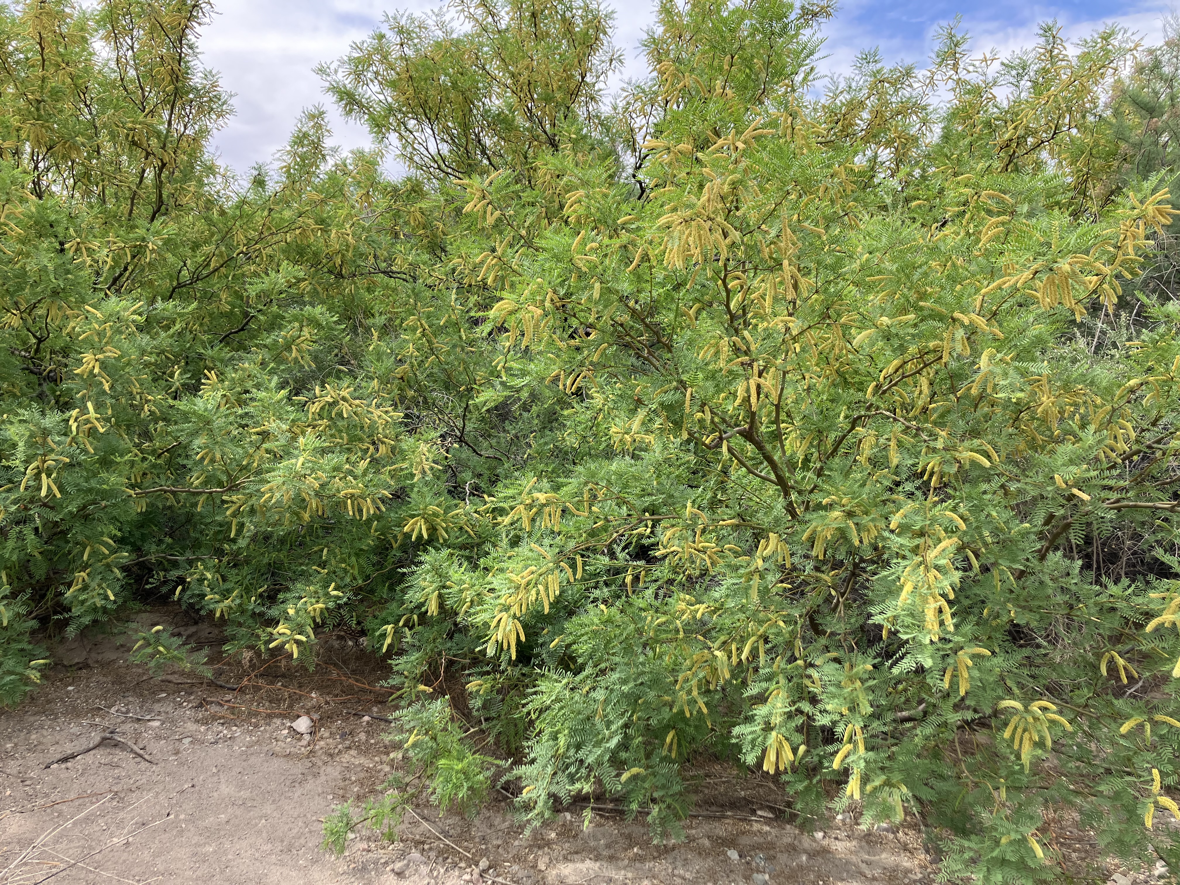
I don't know what kind of tree these are but they sure smelled nice.
 |
On the walk back the sun popped in and out, turning a warm hike into a hot one.
 |
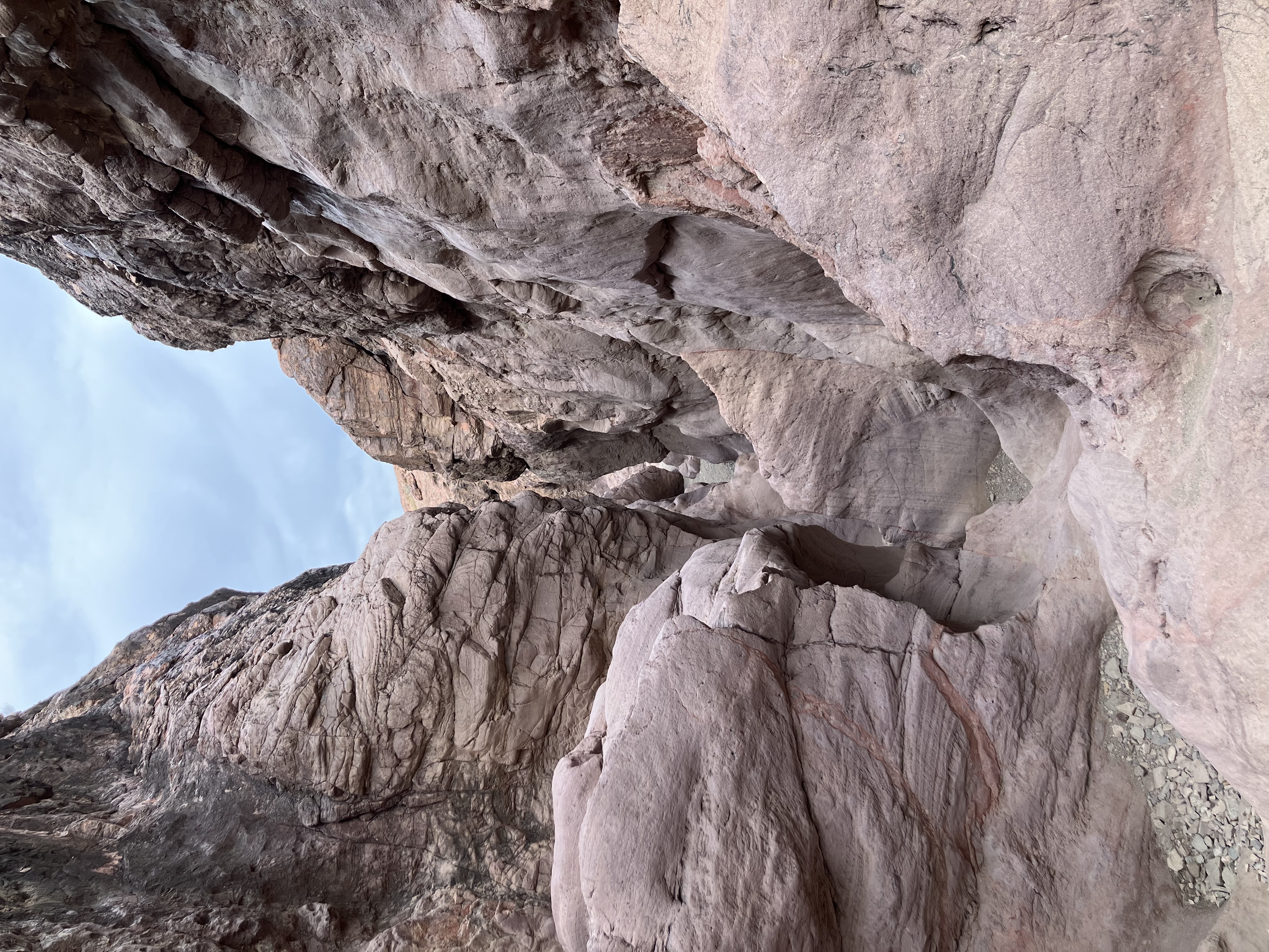
I went through the crack from the other direction.
 |
 |
Here is a video I took. I had to stop filming when I got to the boulder because I needed both hands to
climb over it. A GoPro would have come in handy.
Continue to Segment 3 (California)